Oakley is a city in Gove, Logan, and Thomas counties in the U.S. state of Kansas. It is the county seat of Logan County. As of the 2020 census, the population of the city was 2,046.
| Name: | Oakley city |
|---|---|
| LSAD Code: | 25 |
| LSAD Description: | city (suffix) |
| State: | Kansas |
| County: | Gove County, Logan County, Thomas County |
| Founded: | 1884 |
| Incorporated: | 1887 |
| Elevation: | 3,064 ft (934 m) |
| Total Area: | 1.93 sq mi (4.99 km²) |
| Land Area: | 1.93 sq mi (4.99 km²) |
| Water Area: | 0.00 sq mi (0.00 km²) |
| Total Population: | 2,046 |
| Population Density: | 1,100/sq mi (410/km²) |
| ZIP code: | 67748 |
| Area code: | 785 |
| FIPS code: | 2051825 |
| Website: | discoveroakley.com |
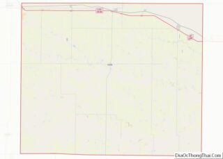
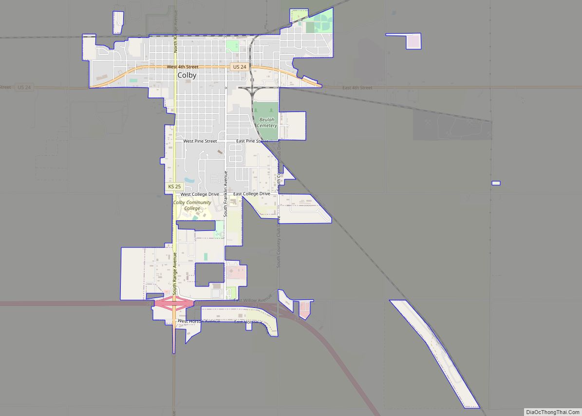
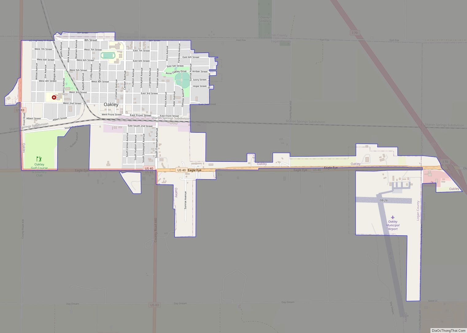
Online Interactive Map
Click on ![]() to view map in "full screen" mode.
to view map in "full screen" mode.
Oakley location map. Where is Oakley city?


History
The area that would later become Oakley was settled in the 1870s and 1880s by travelers from the Smoky Hill Trail. Oakley was founded in 1884 by Judge Fredman and David D. Hoag. Originally named Carlyle, its name was changed to Cleveland, before settling on its final name of Oakley in 1885, named after Hoag’s mother, Elizabeth Oakley Gardner Hoag.
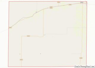
Oakley Road Map

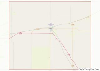
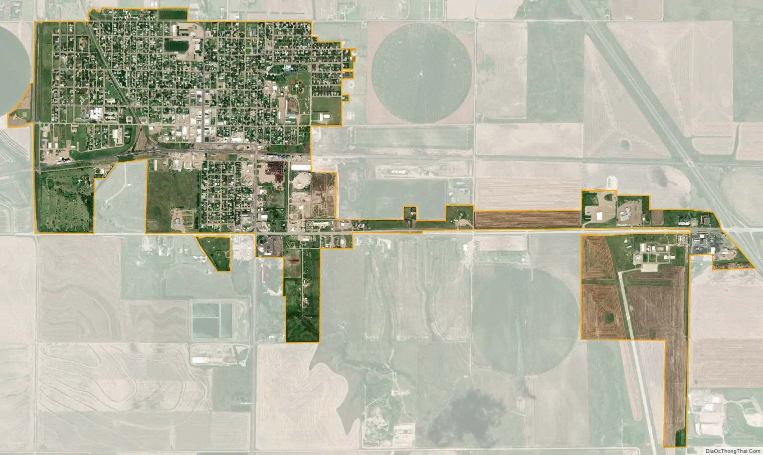
Oakley city Satellite Map
Geography
Oakley is located at 39°7′41″N 100°51′16″W / 39.12806°N 100.85444°W / 39.12806; -100.85444 (39.128023, -100.854490) at an elevation of 3,064 feet (934 m). It lies roughly 1 mile (1.6 km) south of the South Fork of the Saline River in the High Plains region of the Great Plains.
The city is located at the intersection of Interstate 70, U.S. Route 40, and U.S. Route 83 in northwest Kansas. It is in the northeast corner of Logan County, and portions of it extend into Gove County and Thomas County. Oakley is approximately 211 miles (340 km) northwest of Wichita, 227 miles east-southeast of Denver, and 335 miles (539 km) west of Kansas City.
According to the United States Census Bureau, the city has a total area of 1.94 square miles (5.02 km), all of it land.
Climate
The climate in this area is characterized by hot, humid summers and generally mild to cool winters. According to the Köppen Climate Classification system, Oakley has a humid continental climate, abbreviated “Dfa” on climate maps.
See also
Map of Kansas State and its subdivision:- Allen
- Anderson
- Atchison
- Barber
- Barton
- Bourbon
- Brown
- Butler
- Chase
- Chautauqua
- Cherokee
- Cheyenne
- Clark
- Clay
- Cloud
- Coffey
- Comanche
- Cowley
- Crawford
- Decatur
- Dickinson
- Doniphan
- Douglas
- Edwards
- Elk
- Ellis
- Ellsworth
- Finney
- Ford
- Franklin
- Geary
- Gove
- Graham
- Grant
- Gray
- Greeley
- Greenwood
- Hamilton
- Harper
- Harvey
- Haskell
- Hodgeman
- Jackson
- Jefferson
- Jewell
- Johnson
- Kearny
- Kingman
- Kiowa
- Labette
- Lane
- Leavenworth
- Lincoln
- Linn
- Logan
- Lyon
- Marion
- Marshall
- McPherson
- Meade
- Miami
- Mitchell
- Montgomery
- Morris
- Morton
- Nemaha
- Neosho
- Ness
- Norton
- Osage
- Osborne
- Ottawa
- Pawnee
- Phillips
- Pottawatomie
- Pratt
- Rawlins
- Reno
- Republic
- Rice
- Riley
- Rooks
- Rush
- Russell
- Saline
- Scott
- Sedgwick
- Seward
- Shawnee
- Sheridan
- Sherman
- Smith
- Stafford
- Stanton
- Stevens
- Sumner
- Thomas
- Trego
- Wabaunsee
- Wallace
- Washington
- Wichita
- Wilson
- Woodson
- Wyandotte
- Alabama
- Alaska
- Arizona
- Arkansas
- California
- Colorado
- Connecticut
- Delaware
- District of Columbia
- Florida
- Georgia
- Hawaii
- Idaho
- Illinois
- Indiana
- Iowa
- Kansas
- Kentucky
- Louisiana
- Maine
- Maryland
- Massachusetts
- Michigan
- Minnesota
- Mississippi
- Missouri
- Montana
- Nebraska
- Nevada
- New Hampshire
- New Jersey
- New Mexico
- New York
- North Carolina
- North Dakota
- Ohio
- Oklahoma
- Oregon
- Pennsylvania
- Rhode Island
- South Carolina
- South Dakota
- Tennessee
- Texas
- Utah
- Vermont
- Virginia
- Washington
- West Virginia
- Wisconsin
- Wyoming