Grant County is a county in central Indiana in the United States Midwest. At the time of the 2020 census, the population was 66,674. The county seat is Marion. Important paleontological discoveries, dating from the Pliocene epoch, have been made at the Pipe Creek Sinkhole in Grant County.
| Name: | Grant County |
|---|---|
| FIPS code: | 18-053 |
| State: | Indiana |
| Founded: | 1831 |
| Named for: | Samuel and Moses Grant |
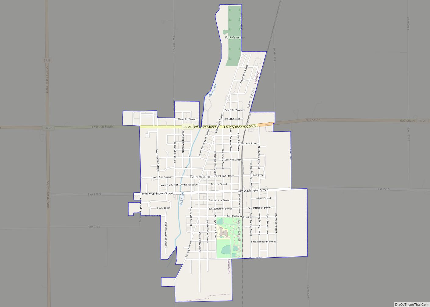
| Seat: | Marion |
| Largest city: | Marion |
| Total Area: | 414.90 sq mi (1,074.6 km²) |
| Land Area: | 414.07 sq mi (1,072.4 km²) |
| Total Population: | 66,674 |
| Population Density: | 159/sq mi (61.4/km²) |
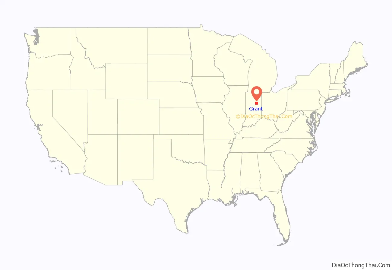
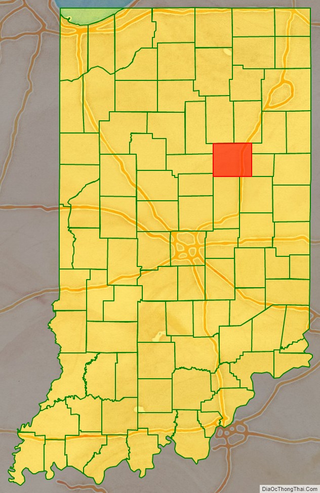
Grant County location map. Where is Grant County?
History
Grant County was formed in 1831 by settlers from Kentucky and Virginia. It was named for Captains Samuel and Moses Grant of Kentucky, who were killed fighting indigenous warriors north of the Ohio River. Their home county was also named for them, Grant County, Kentucky.
In 1831, Martin Boots and David Branson each donated 30 acres of land to begin a settlement called Marion. This land was on the north side of a fast-flowing and scenic river which the Miami Indians called Mississinewa. Marion was designated as the County Seat.
As the county was developed for agriculture, the county seat became a center of trade and business, as well as government and the court system. On 7 August 1930, a mob of an estimated 5,000 people took three African-American men, Thomas Shipp and Abram Smith, both 19, and James Cameron, 16, from the county jail. They were suspects in a robbery/murder and rape. The first two were hanged from trees in the courthouse square. Cameron was spared and later became a civil rights activist. This was the last lynching in Indiana.
In 1982, Stephen Johnson was elected as Grant County’s first full-time prosecutor. He served for five terms, from 1983 through 2002.
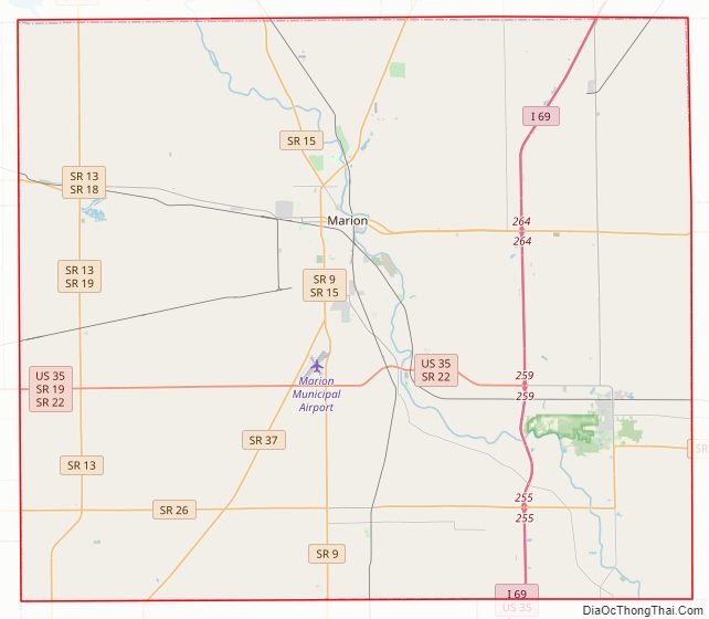
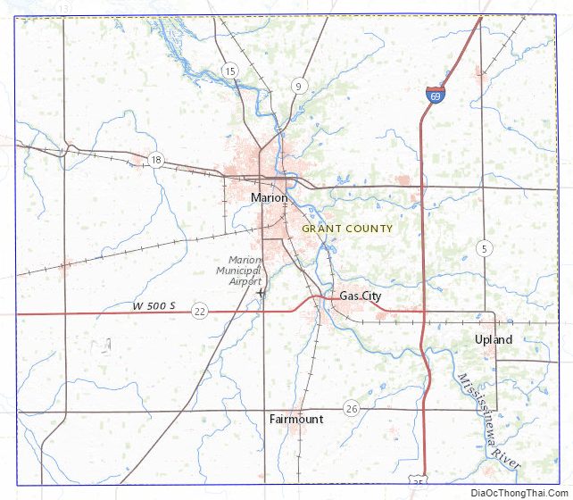
Grant County Road Map
Geography
Grant County consists of low rolling hills, covered with vegetation and devoted to agriculture or urban development. The Mississinewa River flows northwesterly through the center of the county toward Mississinewa Lake in adjacent Miami County. The highest terrain consists of two rises in southeast Upland, at 950′ (290m) ASL. According to the 2010 census, the county has a total area of 414.90 square miles (1,074.6 km), of which 414.07 square miles (1,072.4 km) (or 99.80%) is land and 0.82 square miles (2.1 km) (or 0.20%) is water.
Adjacent counties
Grant County shares a border with nine neighboring counties, more than any other county in Indiana.
- Huntington County – northeast
- Wells County – northeast
- Blackford County – east
- Delaware County – southeast
- Madison County – south
- Tipton County – southwest
- Howard County – west
- Miami County – northwest
- Wabash County – northwest
Major highways
- I-69 – Interstate Highway
- US 35 – Federal Highway
- SR 5 – State Highway
- SR 9 – State Highway
- SR 13 – State Highway
- SR 15 – State Highway
- SR 18 – State Highway
- SR 19 – State Highway
- SR 22 – State Highway
- SR 26 – State Highway
- SR 37 – State Highway
Grant County Topographic Map
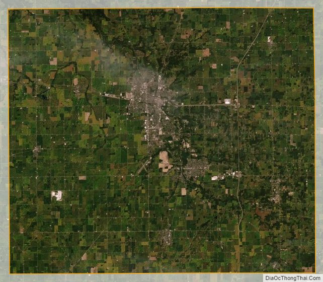
Grant County Satellite Map
Grant County Outline Map