Upland (pronounced as “up-land”) is a town in Jefferson Township, Grant County, Indiana, United States. The population was 3,845 at the 2010 census. It is most notable for being the home of Taylor University, a Christian college with 2,103 students, as of 2016.
| Name: | Upland town |
|---|---|
| LSAD Code: | 43 |
| LSAD Description: | town (suffix) |
| State: | Indiana |
| County: | Grant County |
| Elevation: | 935 ft (285 m) |
| Total Area: | 3.15 sq mi (8.16 km²) |
| Land Area: | 3.14 sq mi (8.13 km²) |
| Water Area: | 0.01 sq mi (0.03 km²) |
| Total Population: | 3,821 |
| Population Density: | 1,217.65/sq mi (470.12/km²) |
| ZIP code: | 46989 |
| Area code: | 765 |
| FIPS code: | 1877966 |
| GNISfeature ID: | 0445158 |
| Website: | https://uplandindiana.com/ |
Online Interactive Map
Click on ![]() to view map in "full screen" mode.
to view map in "full screen" mode.
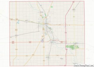
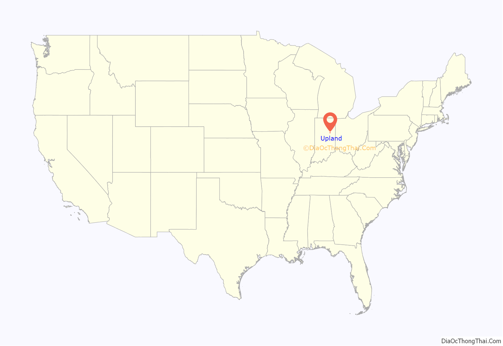
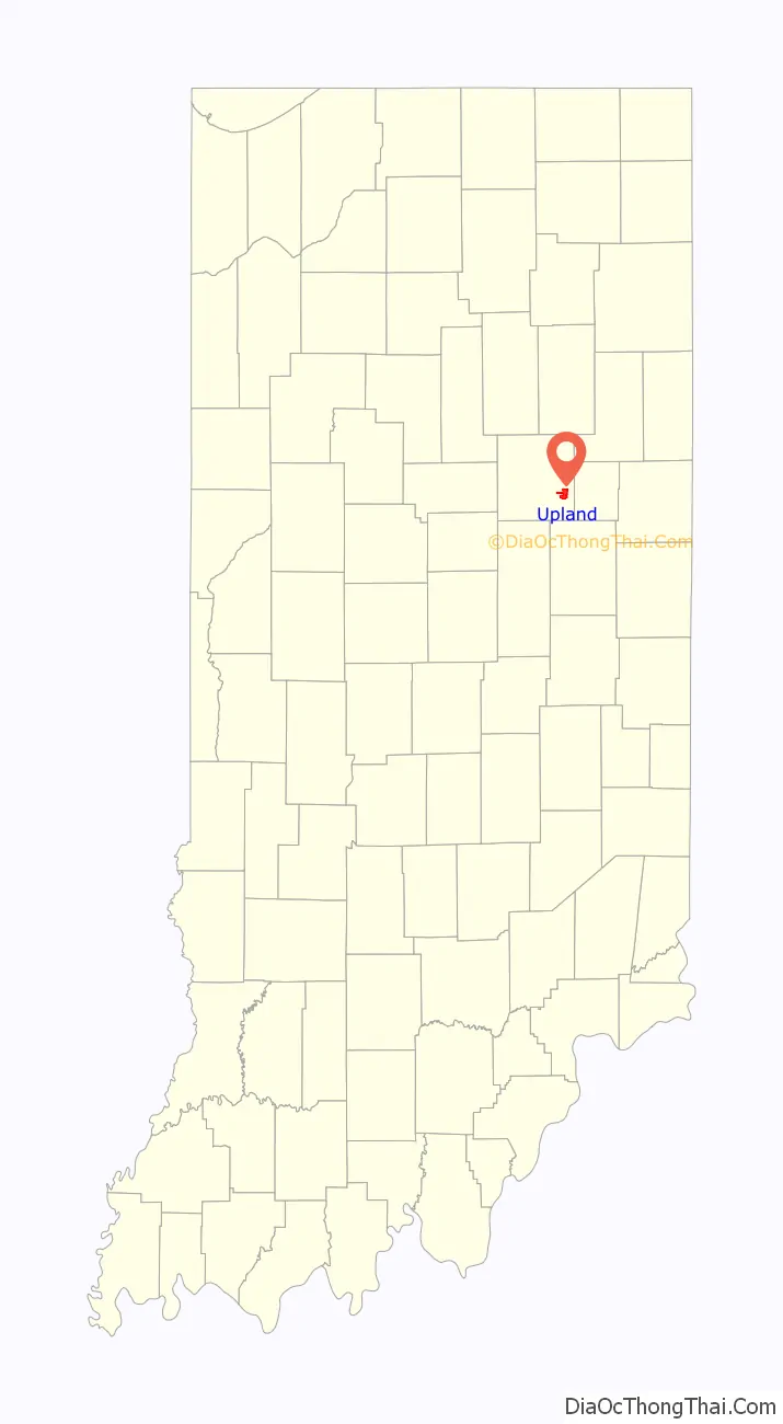
Upland location map. Where is Upland town?
History
Most of the land that is now part of Upland was purchased by John Oswalt in the 1830s. He was a speculator, and believed that a canal connecting Indianapolis and Fort Wayne might pass through the area. The town was formed in the late 1860s by Jacob Bugher, who planned for it to be a depot point on the Indiana Central Railroad. The town’s name comes from the fact it was believed to be the highest point on the rail line between Columbus and Chicago. By 1880, the town had a population of around 150 and included a school, two churches, several stores, a blacksmith shop, and a sawmill.
Upland benefited from the gas boom in central Indiana which started in 1886 and carried on until around 1900 when the gas supply began to decline. Gas was discovered in Upland in 1888, and this new resource allowed the town to flourish and grow. By the 1890s, the town had a population of over 1000, street lights, water and gas lines, and a glass manufacturing plant.
Taylor University moved to Upland in the summer of 1893. The school had been struggling financially in Fort Wayne, and the gas boom allowed the town to provide the university with $10,000 in cash and 10 acres (40,000 m) of land.
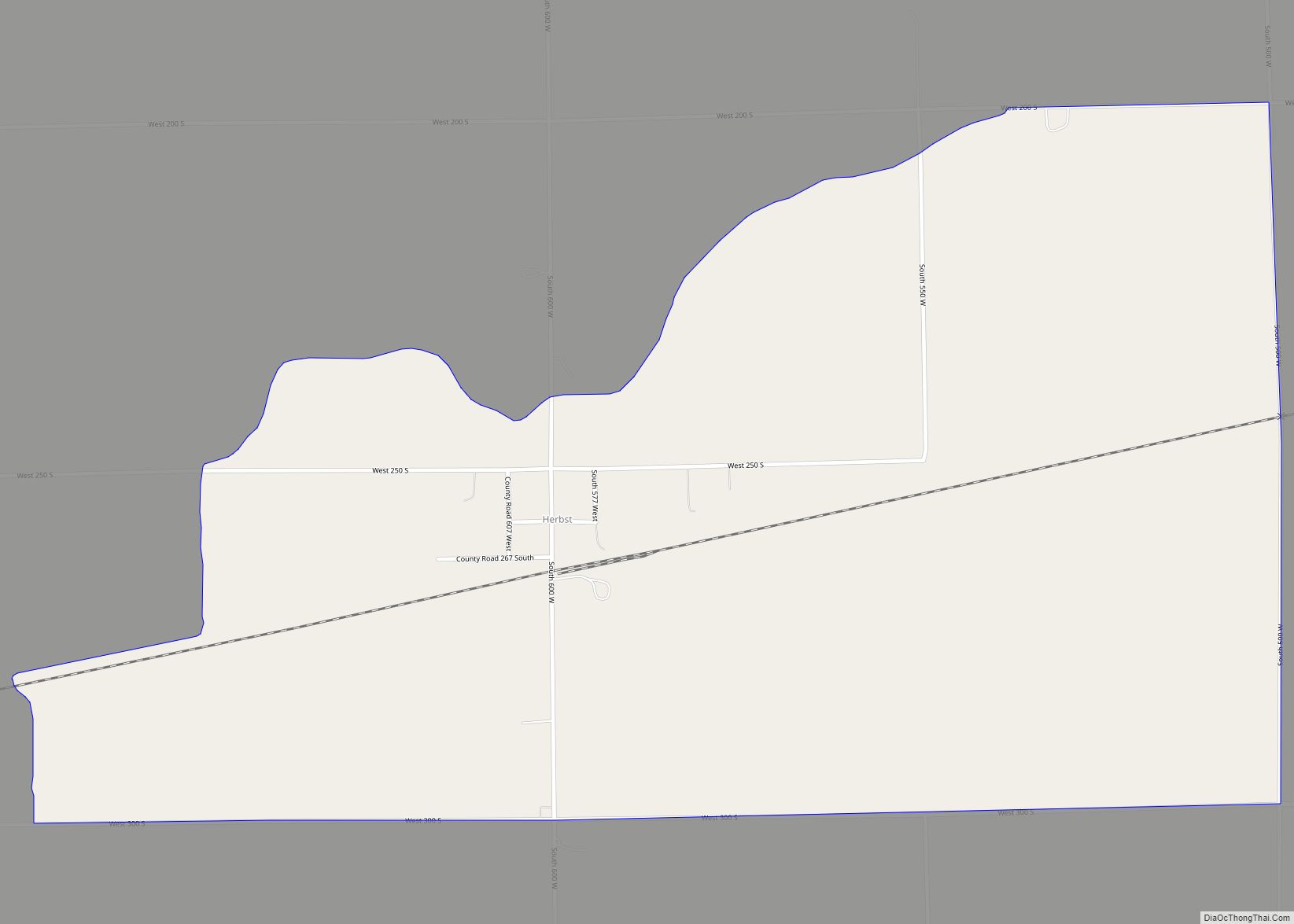
Upland Road Map
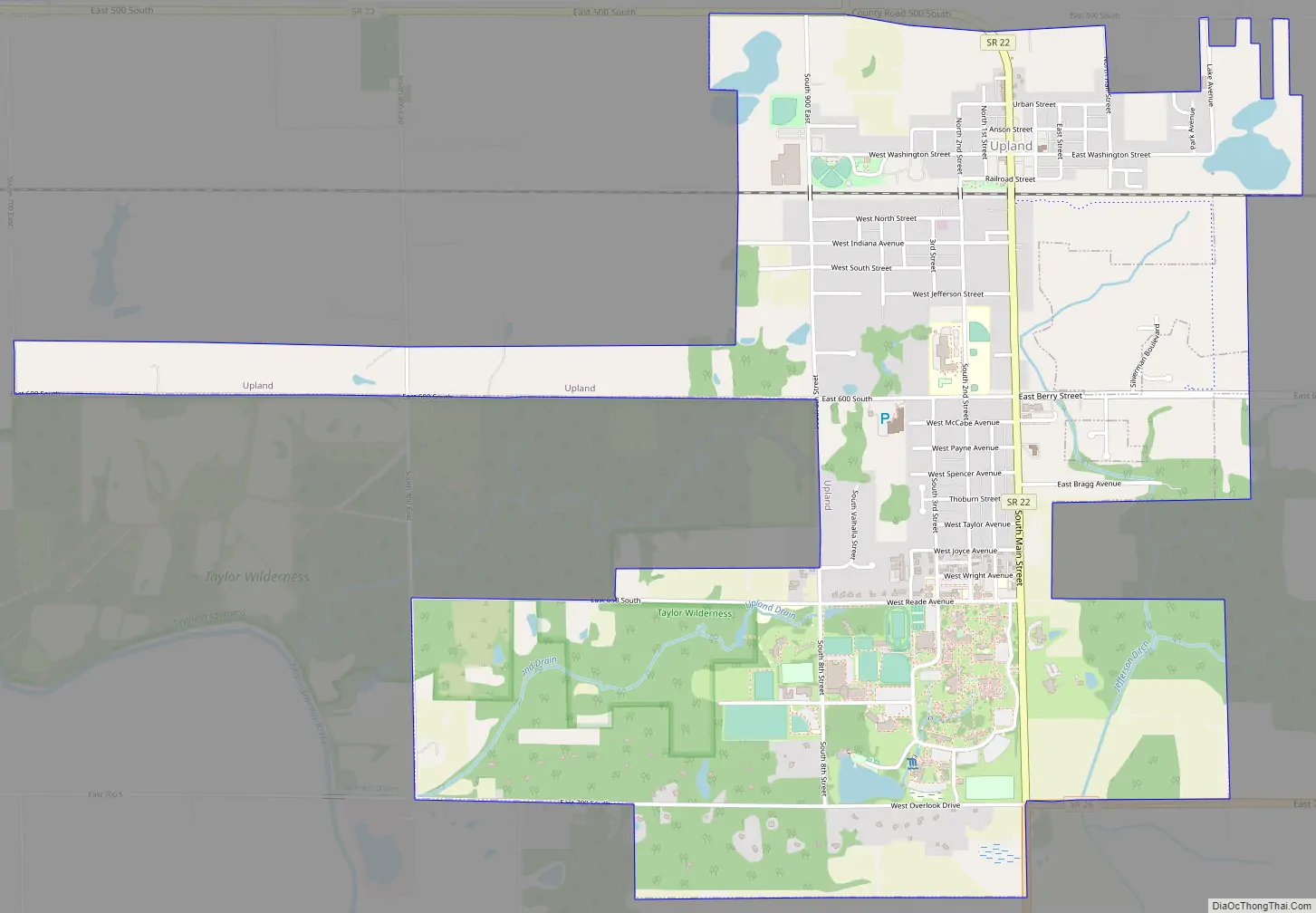
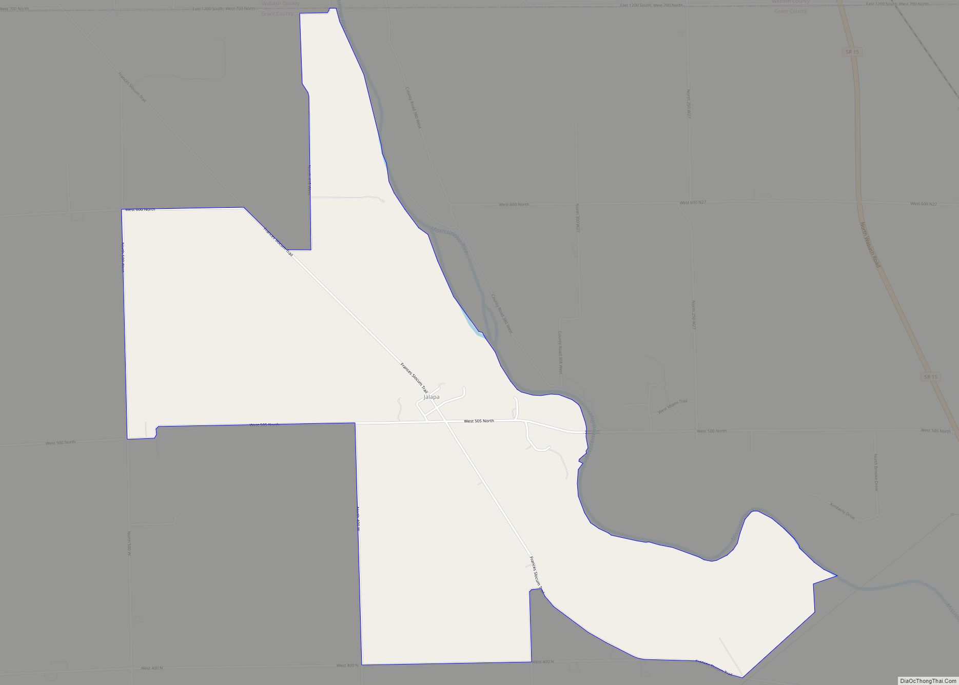
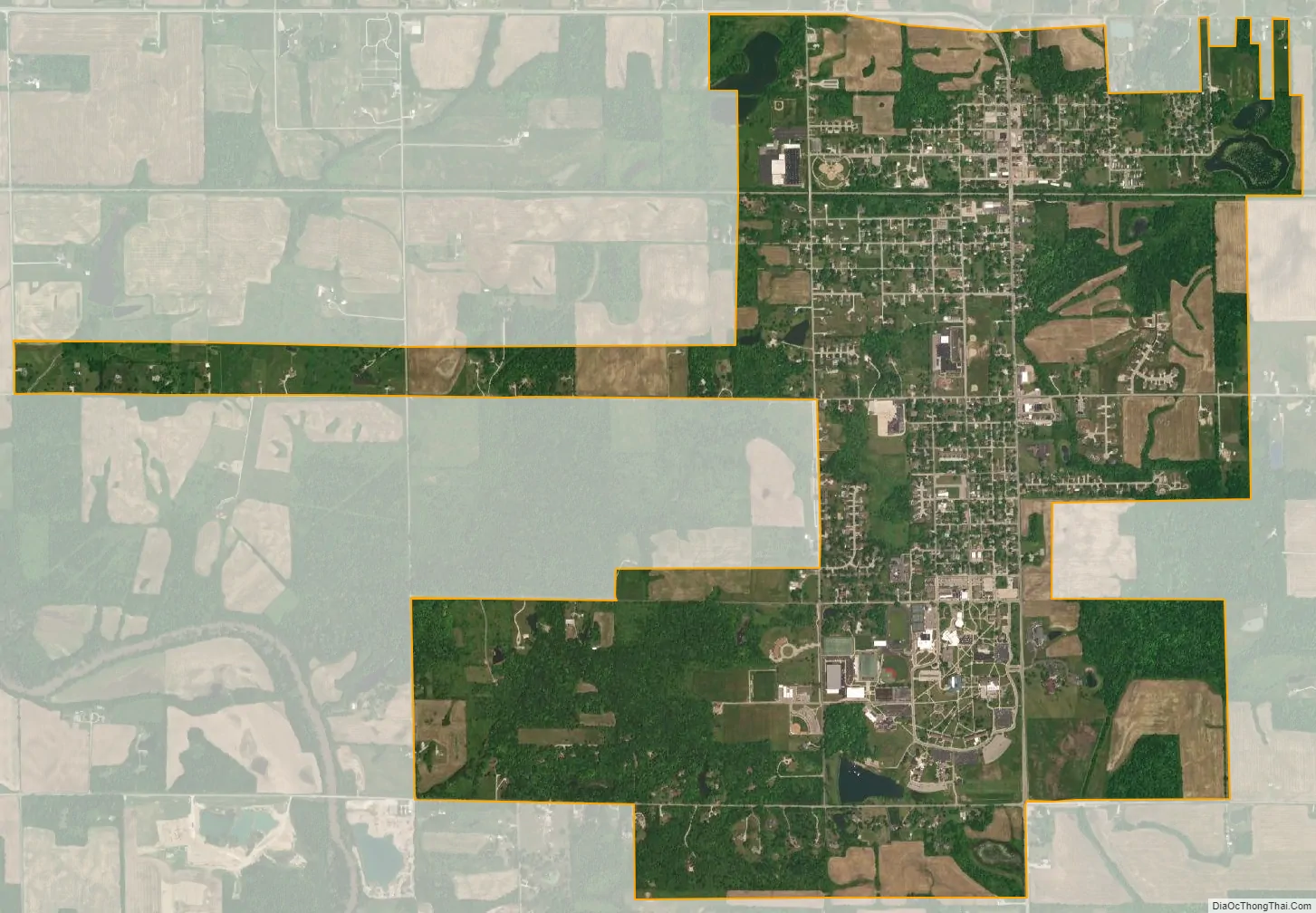
Upland city Satellite Map
Geography
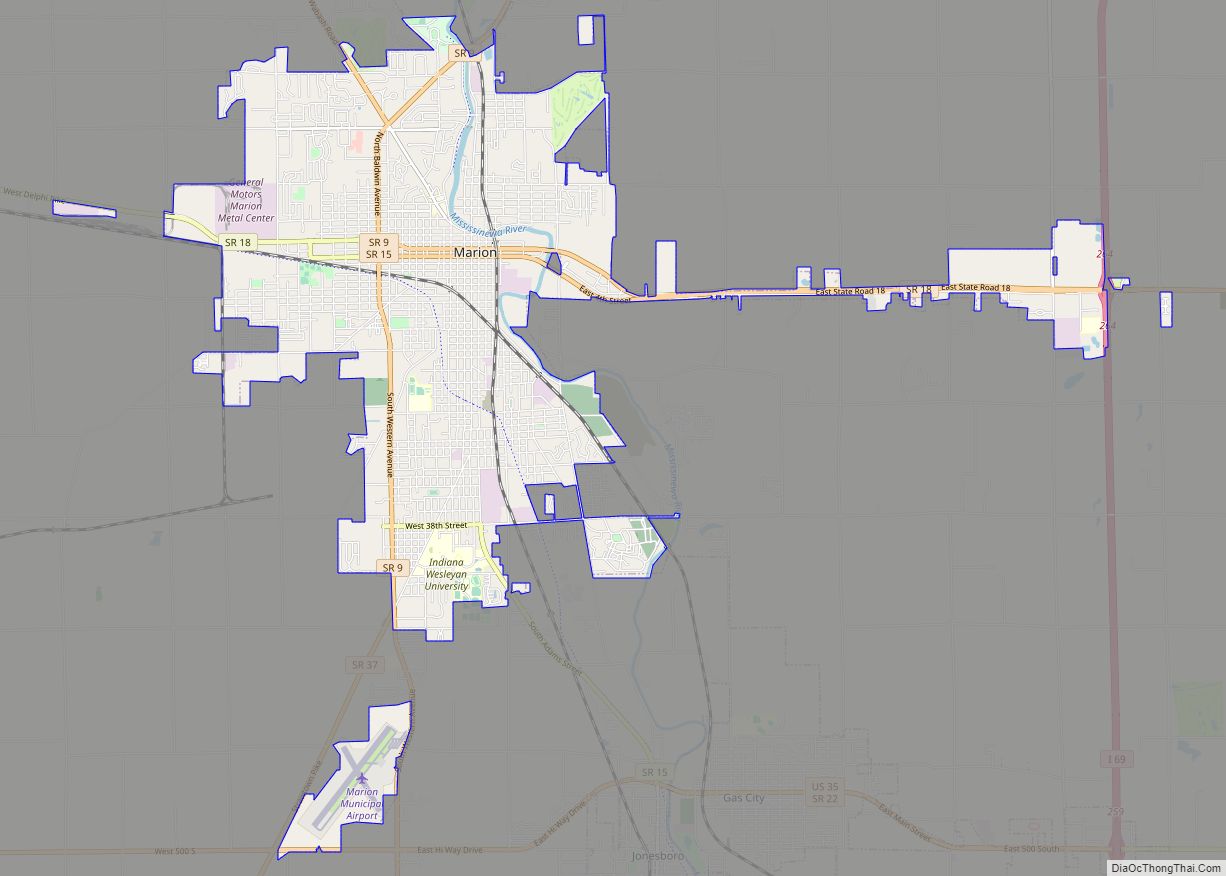
Upland is between Fort Wayne (one hour north by car) and Indianapolis (1+1⁄4 hours south). It is about 30 minutes from Muncie where Ball State University is located. It is about 15 minutes from Marion and Indiana Wesleyan University.
Upland is at 40°28′2″N 85°30′0″W / 40.46722°N 85.50000°W / 40.46722; -85.50000 (40.467146, -85.500120).
According to the 2010 census, Upland has an area of 3.152 square miles (8.16 km), of which 3.14 square miles (8.13 km) (or 99.62%) is land and 0.012 square miles (0.03 km) (or 0.38%) is water.
See also
Map of Indiana State and its subdivision:- Adams
- Allen
- Bartholomew
- Benton
- Blackford
- Boone
- Brown
- Carroll
- Cass
- Clark
- Clay
- Clinton
- Crawford
- Daviess
- De Kalb
- Dearborn
- Decatur
- Delaware
- Dubois
- Elkhart
- Fayette
- Floyd
- Fountain
- Franklin
- Fulton
- Gibson
- Grant
- Greene
- Hamilton
- Hancock
- Harrison
- Hendricks
- Henry
- Howard
- Huntington
- Jackson
- Jasper
- Jay
- Jefferson
- Jennings
- Johnson
- Knox
- Kosciusko
- LaGrange
- Lake
- Lake Michigan
- LaPorte
- Lawrence
- Madison
- Marion
- Marshall
- Martin
- Miami
- Monroe
- Montgomery
- Morgan
- Newton
- Noble
- Ohio
- Orange
- Owen
- Parke
- Perry
- Pike
- Porter
- Posey
- Pulaski
- Putnam
- Randolph
- Ripley
- Rush
- Saint Joseph
- Scott
- Shelby
- Spencer
- Starke
- Steuben
- Sullivan
- Switzerland
- Tippecanoe
- Tipton
- Union
- Vanderburgh
- Vermillion
- Vigo
- Wabash
- Warren
- Warrick
- Washington
- Wayne
- Wells
- White
- Whitley
- Alabama
- Alaska
- Arizona
- Arkansas
- California
- Colorado
- Connecticut
- Delaware
- District of Columbia
- Florida
- Georgia
- Hawaii
- Idaho
- Illinois
- Indiana
- Iowa
- Kansas
- Kentucky
- Louisiana
- Maine
- Maryland
- Massachusetts
- Michigan
- Minnesota
- Mississippi
- Missouri
- Montana
- Nebraska
- Nevada
- New Hampshire
- New Jersey
- New Mexico
- New York
- North Carolina
- North Dakota
- Ohio
- Oklahoma
- Oregon
- Pennsylvania
- Rhode Island
- South Carolina
- South Dakota
- Tennessee
- Texas
- Utah
- Vermont
- Virginia
- Washington
- West Virginia
- Wisconsin
- Wyoming