Henry County is located in the north central portion of the U.S. state of Georgia. Per the 2020 census, the population of Henry County is 240,712, up from 203,922 in 2010. The county seat is McDonough. The county was named for Patrick Henry.
Henry County is part of the Atlanta-Sandy Springs-Roswell, GA metropolitan statistical area. The Henry County Courthouse is listed on the National Register of Historic Places.
| Name: | Henry County |
|---|---|
| FIPS code: | 13-151 |
| State: | Georgia |
| Founded: | 1821 |
| Named for: | Patrick Henry |
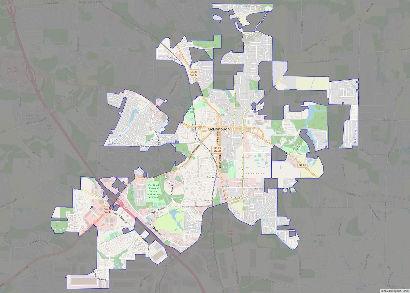
| Seat: | McDonough |
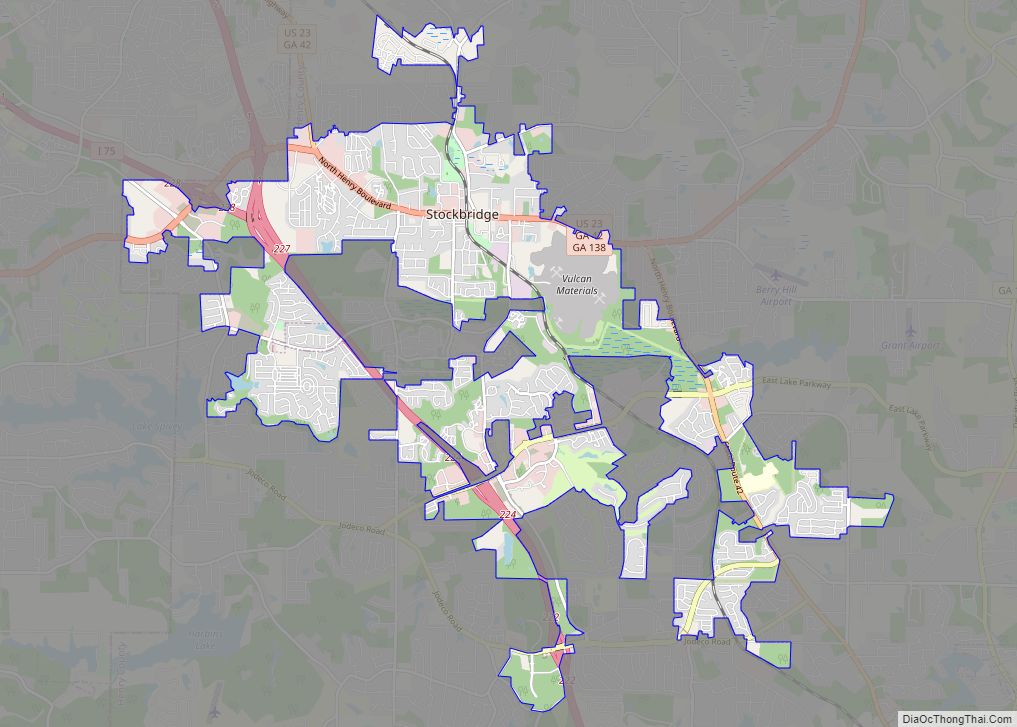
| Largest city: | Stockbridge |
| Total Area: | 327 sq mi (850 km²) |
| Land Area: | 322 sq mi (830 km²) |
| Total Population: | 240,712 |
| Time zone: | UTC−5 (Eastern) |
| Summer Time Zone (DST): | UTC−4 (EDT) |
| Website: | www.co.henry.ga.us |
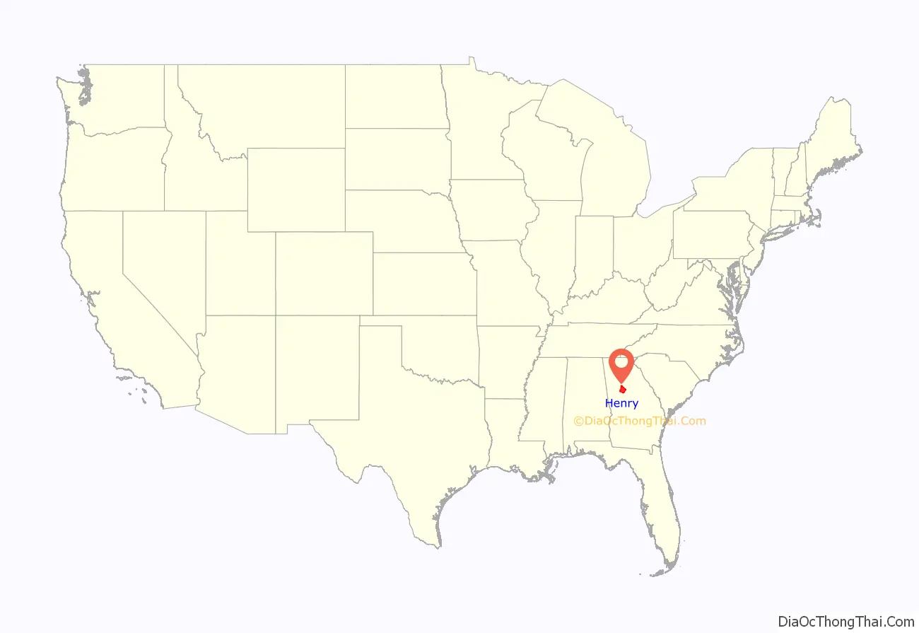
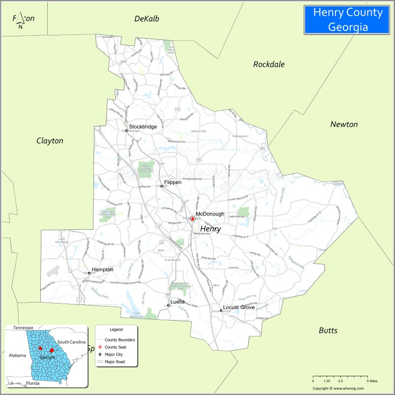
Henry County location map. Where is Henry County?
History
Henry County, Georgia, was created by the Georgia State Legislature in 1821 from land acquired from the Creek Indian Nation by the First Treaty of Indian Springs. Henry’s original land area was much larger than it is today, stretching from near Indian Springs (present-day Indian Springs State Park) in the south to the Chattahoochee River near Sandy Springs in the north; encompassing most of present-day Metropolitan Atlanta. Before one year had passed, the size of the county was diminished through the separation of land areas which, in whole or in part, became the present-day DeKalb, Fulton, Fayette and Newton counties. Later divisions resulted in Clayton, Spalding, Rockdale and Butts counties.
In the beginning Henry County was a virgin wilderness, having just been ceded from the Creek Nation. Prior to 1821, the Creeks and a few trappers and traders were the only residents of this area. The Creek Indians left their mark through place names, a few small Indian Mounds scattered around the County and through the arrowheads and broken pottery which can be found throughout Henry County.
Jesse Johnson, son of John Johnson and great-grandfather of U.S. President Lyndon Baines Johnson, was a “first settler” of Henry County. He was a prosperous farmer, the second sheriff (1822–1835), and judge, before he moved to Texas. In 1995, Henry County was the sixth-fastest-growing county in the United States.
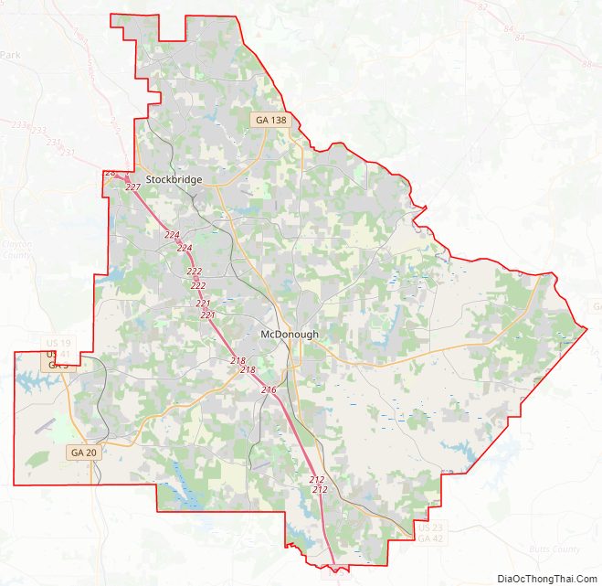
Henry County Road Map
Geography
According to the U.S. Census Bureau, the county has a total area of 327 square miles (850 km), of which 322 square miles (830 km) is land and 4.4 square miles (11 km) (1.4%) is water.
The vast majority of Henry County is located in the Upper Ocmulgee River sub-basin of the Altamaha River basin, with just a very small western corner, west of Hampton, located in the Upper Flint River sub-basin of the ACF River Basin (Apalachicola-Chattahoochee-Flint River Basin).
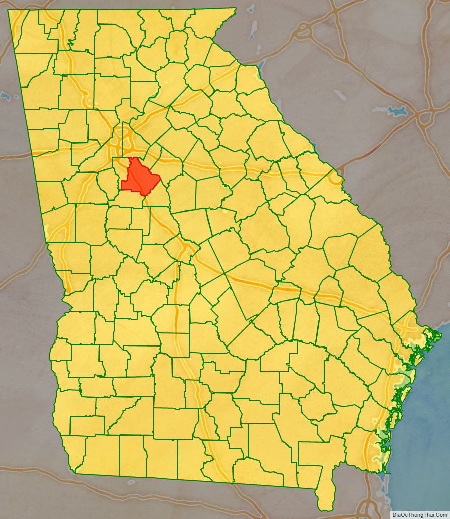
Adjacent counties
- DeKalb County – north
- Rockdale County – northeast
- Newton County – east
- Butts County – southeast
- Spalding County – southwest
- Clayton County – west
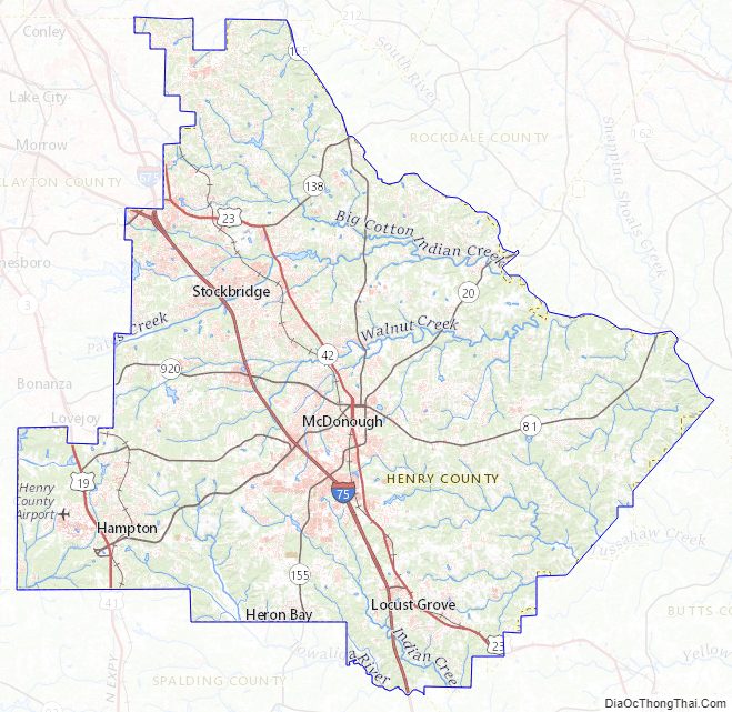
Henry County Topographic Map
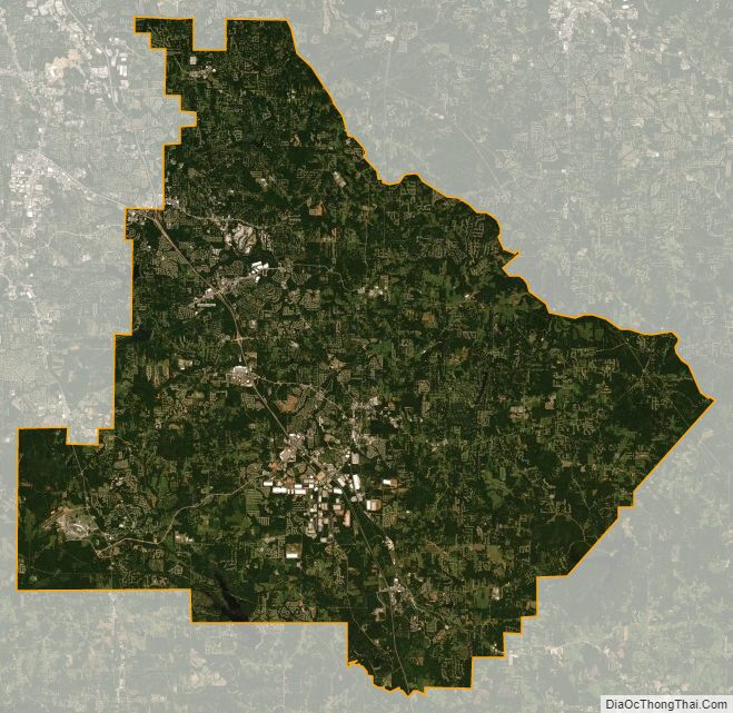
Henry County Satellite Map
Henry County Outline Map