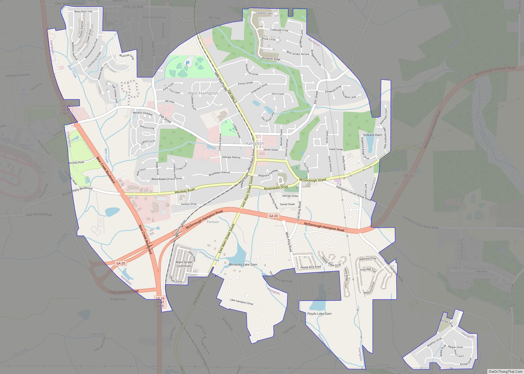
McDonough is a city in Henry County, Georgia, United States. It is part of the Atlanta metropolitan area. Its population was 22,084 at the 2010 census, up from 8,493 in 2000. The city is the county seat of Henry County. The unincorporated communities of Blacksville, Flippen, Kelleytown, and Ola are located near McDonough, and addresses in those communities have McDonough ZIP Codes.
| Name: | McDonough city |
|---|---|
| LSAD Code: | 25 |
| LSAD Description: | city (suffix) |
| State: | Georgia |
| County: | Henry County |
| Elevation: | 863 ft (263 m) |
| Total Area: | 13.01 sq mi (33.71 km²) |
| Land Area: | 12.85 sq mi (33.29 km²) |
| Water Area: | 0.16 sq mi (0.42 km²) |
| Total Population: | 29,051 |
| Population Density: | 2,260.43/sq mi (872.72/km²) |
| Area code: | 770/678/470 |
| FIPS code: | 1348624 |
| GNISfeature ID: | 0317901 |
| Website: | www.mcdonoughga.org |
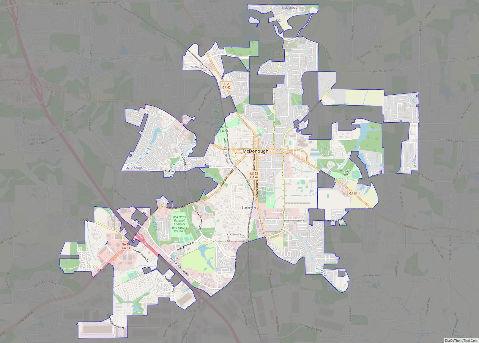
Online Interactive Map
Click on ![]() to view map in "full screen" mode.
to view map in "full screen" mode.
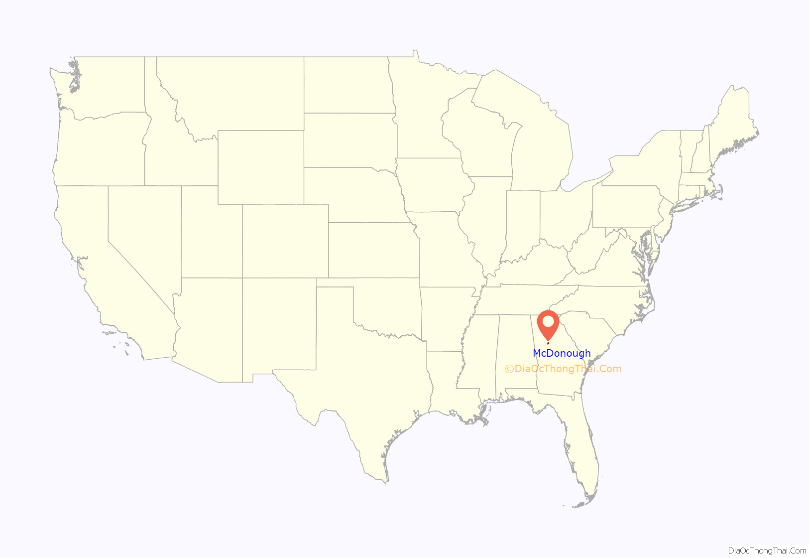
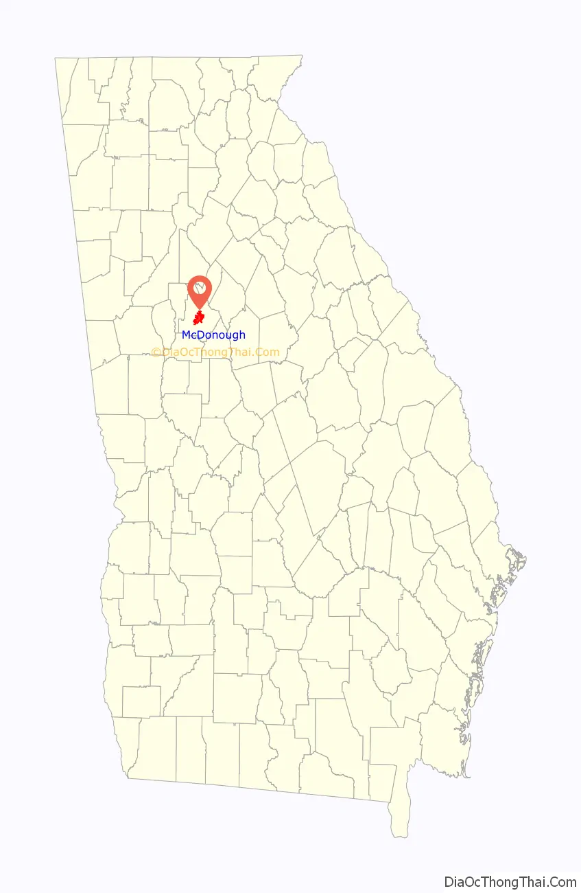
McDonough location map. Where is McDonough city?
History
The town was named for naval officer Commodore Thomas Macdonough and founded in 1823 around a traditional town square design. The buildings surrounding the square are intact, although there are some vacancies. The county courthouse and historic jail building are on the north side near the Welcome Center in a historically maintained Standard Oil service station, built in 1920. The station also houses the Main Street Program Office and Hospitality and Tourism Office.
One block east of the square, the town’s original cotton warehouse has been replaced with the Henry County Judicial Center. In the same area the Henry County Courthouse Annex has an original oil on canvas “Cotton Gin” (4+1⁄2 by 11 feet) by artist Jean Charlot. He painted this oil in 1942 for the town post office. His works can be found all over the world in everything from children’s books to large murals.
The town was a relay station on the New York City to New Orleans stagecoach line and was connected by other stage lines with Fayetteville and Decatur, and with Macon by way of Jackson.
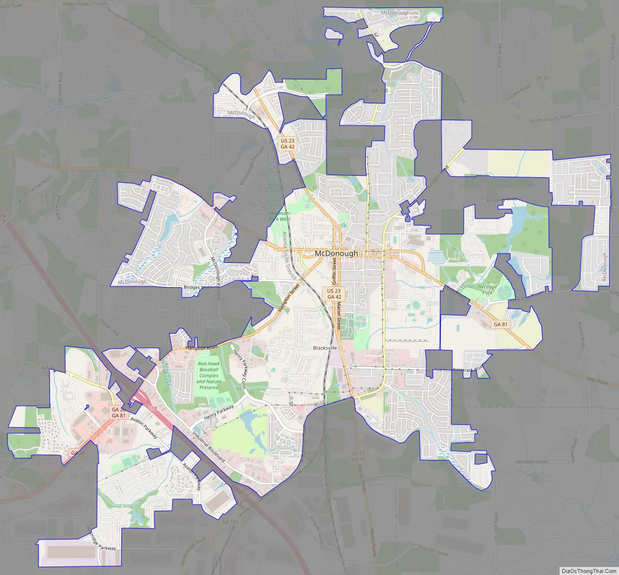
McDonough Road Map
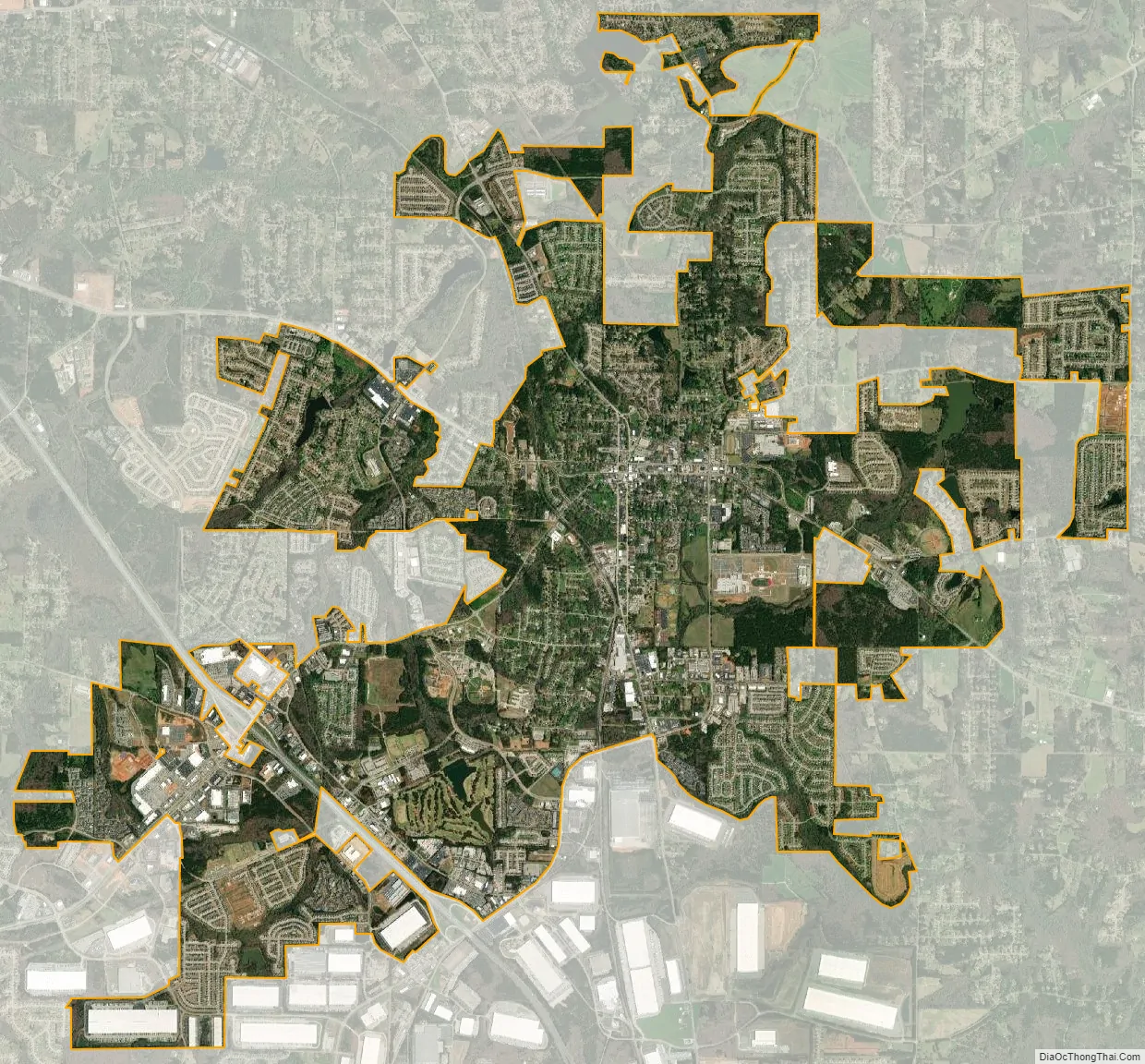
McDonough city Satellite Map
Geography
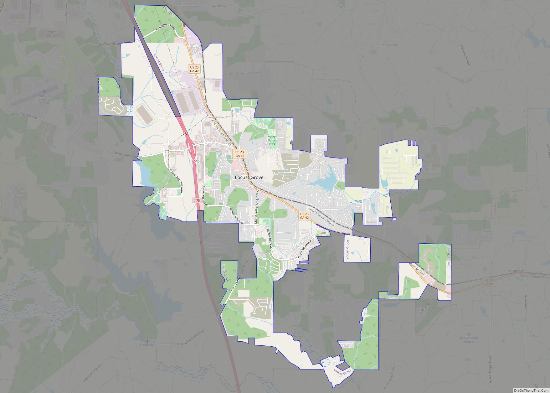
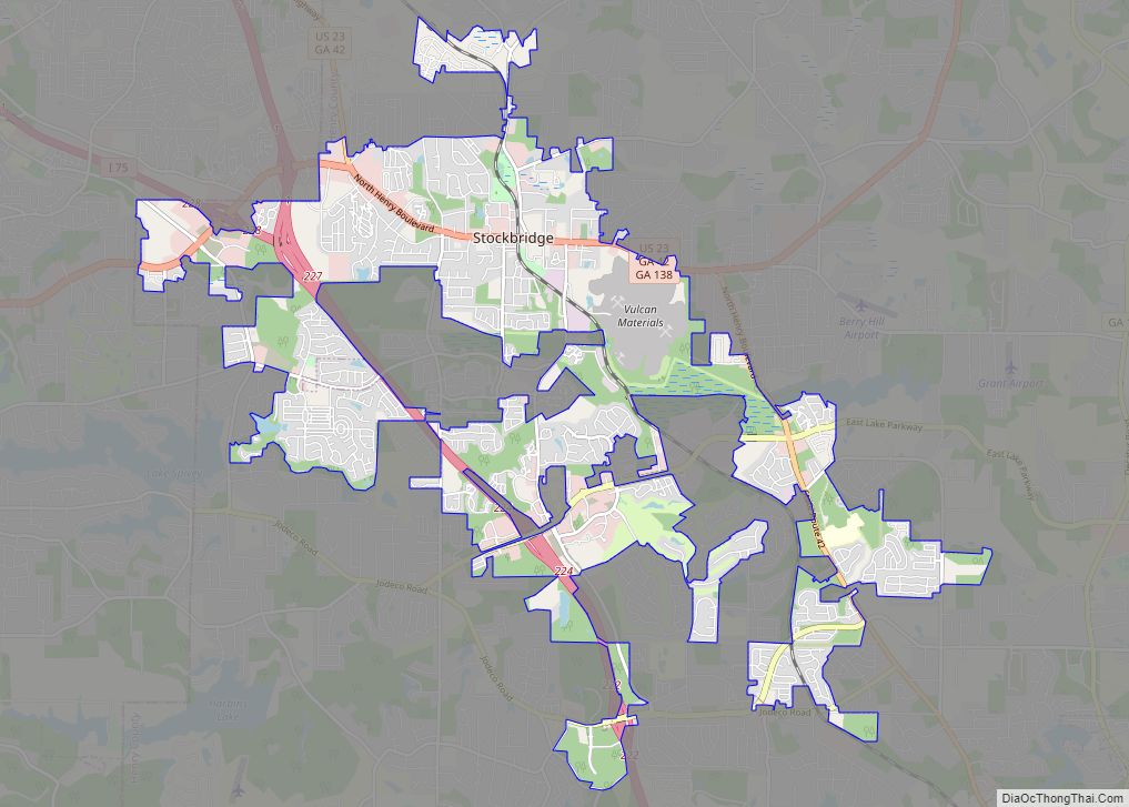
McDonough is in central Henry County, 28 miles (45 km) southeast of downtown Atlanta. U.S. Route 23 passes through the center of the city, leading northwest 9 miles (14 km) to Stockbridge and south 7 miles (11 km) to Locust Grove. Interstate 75 passes through the southwestern arm of the city, with access from Exits 216, 218, and 221. I-75 leads northwest to Atlanta and southeast 56 miles (90 km) to Macon.
According to the United States Census Bureau, the city has a total area of 12.9 square miles (33.4 km), of which 12.7 square miles (32.9 km) are land and 0.2 square miles (0.5 km), or 1.50%, are water.
See also
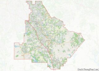
Map of Georgia State and its subdivision:- Appling
- Atkinson
- Bacon
- Baker
- Baldwin
- Banks
- Barrow
- Bartow
- Ben Hill
- Berrien
- Bibb
- Bleckley
- Brantley
- Brooks
- Bryan
- Bulloch
- Burke
- Butts
- Calhoun
- Camden
- Candler
- Carroll
- Catoosa
- Charlton
- Chatham
- Chattahoochee
- Chattooga
- Cherokee
- Clarke
- Clay
- Clayton
- Clinch
- Cobb
- Coffee
- Colquitt
- Columbia
- Cook
- Coweta
- Crawford
- Crisp
- Dade
- Dawson
- Decatur
- DeKalb
- Dodge
- Dooly
- Dougherty
- Douglas
- Early
- Echols
- Effingham
- Elbert
- Emanuel
- Evans
- Fannin
- Fayette
- Floyd
- Forsyth
- Franklin
- Fulton
- Gilmer
- Glascock
- Glynn
- Gordon
- Grady
- Greene
- Gwinnett
- Habersham
- Hall
- Hancock
- Haralson
- Harris
- Hart
- Heard
- Henry
- Houston
- Irwin
- Jackson
- Jasper
- Jeff Davis
- Jefferson
- Jenkins
- Johnson
- Jones
- Lamar
- Lanier
- Laurens
- Lee
- Liberty
- Lincoln
- Long
- Lowndes
- Lumpkin
- Macon
- Madison
- Marion
- McDuffie
- McIntosh
- Meriwether
- Miller
- Mitchell
- Monroe
- Montgomery
- Morgan
- Murray
- Muscogee
- Newton
- Oconee
- Oglethorpe
- Paulding
- Peach
- Pickens
- Pierce
- Pike
- Polk
- Pulaski
- Putnam
- Quitman
- Rabun
- Randolph
- Richmond
- Rockdale
- Schley
- Screven
- Seminole
- Spalding
- Stephens
- Stewart
- Sumter
- Talbot
- Taliaferro
- Tattnall
- Taylor
- Telfair
- Terrell
- Thomas
- Tift
- Toombs
- Towns
- Treutlen
- Troup
- Turner
- Twiggs
- Union
- Upson
- Walker
- Walton
- Ware
- Warren
- Washington
- Wayne
- Webster
- Wheeler
- White
- Whitfield
- Wilcox
- Wilkes
- Wilkinson
- Worth
- Alabama
- Alaska
- Arizona
- Arkansas
- California
- Colorado
- Connecticut
- Delaware
- District of Columbia
- Florida
- Georgia
- Hawaii
- Idaho
- Illinois
- Indiana
- Iowa
- Kansas
- Kentucky
- Louisiana
- Maine
- Maryland
- Massachusetts
- Michigan
- Minnesota
- Mississippi
- Missouri
- Montana
- Nebraska
- Nevada
- New Hampshire
- New Jersey
- New Mexico
- New York
- North Carolina
- North Dakota
- Ohio
- Oklahoma
- Oregon
- Pennsylvania
- Rhode Island
- South Carolina
- South Dakota
- Tennessee
- Texas
- Utah
- Vermont
- Virginia
- Washington
- West Virginia
- Wisconsin
- Wyoming