| Name: | Henry County |
|---|---|
| FIPS code: | 51-089 |
| State: | Virginia |
| Founded: | 1777 |
| Named for: | Patrick Henry |
| Seat: | Martinsville |
| Largest town: | Ridgeway |
| Total Area: | 384 sq mi (990 km²) |
| Land Area: | 382 sq mi (990 km²) |
| Total Population: | 50,948 |
| Population Density: | 130/sq mi (51/km²) |
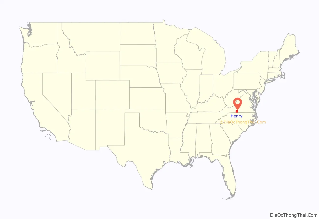
Henry County location map. Where is Henry County?
History
The county was established in 1777 when it was carved from Pittsylvania County. The new county was initially named Patrick Henry County in honor of Patrick Henry, who was then serving as the first Governor of Virginia, and some of whose relatives had settled in the area. Governor Henry also had a 10,000-acre (40 km) plantation called “Leatherwood plantation” (for Leatherwood Creek) in the newly named county (where he ended up spending 5 years between his third and fourth gubernatorial terms).
In 1785 the northern part of Patrick Henry County was combined with part of Bedford County to form Franklin County. In 1790, Patrick Henry County was split again: the western part became Patrick County and the rest remained Henry County.
Other notable early settlers included: George Waller, Captain George Hairston and Major John Redd, all of whom were present at the surrender of General Cornwallis at Yorktown; Col. Abram Penn, a native of Amherst County, Virginia, who led his Henry County militia troops with the intention of joining General Nathanael Greene at the Battle of Guilford Courthouse during the Revolutionary War; and Brigadier General Joseph Martin, for whom Martinsville is named. Also prominent were Mordecai Hord, a native of Louisa County and explorer, who lived on his plantation called Hordsville; and Col. John Dillard, born in Amherst County, Virginia in 1751, wounded at the Battle of Princeton during the Revolution, and later a member of the Committee of Safety. Captain Robert Hairston, a noted politician in the Colony of Virginia, owned Marrowbone plantation, commanded a militia company and served as Henry County’s first high sheriff.
During the War of 1812, the 64th Virginia Militia, under Captain Graves, was formed in 1815 from Henry County. Benjamin Dyer was a lieutenant, then later a captain, of the 5th company of the 64th Virginia Militia.Private Alexander Hunter Bassett would later work large tobacco plantations in the county, and Wyatt Jarrett. Tavner Hailey (b.1793) of Martinsville became an early pioneer in Tennessee and served in the War of 1812. He was 1st Cpl. in Captain Brice Edward’s Company, 64th Regiment, Virginia Militia.”
During the American Civil War, the 42nd Virginia Infantry was formed in part from Henry County volunteers. Its state senator, Christopher Y. Thomas, owned Henry’s former Leatherwood plantation and would later briefly serve in the U.S. House of Representatives after the war. He was succeeded by George Cabell, a Confederate army veteran (38th Virginia Infantry) born in nearby Danville and from a family long prominent in the area.
In 1902, the Henry County Historical Society was incorporated at Martinsville with its first officers being John W. Carter, J. Harrison Spencer and C. B. Bryant.
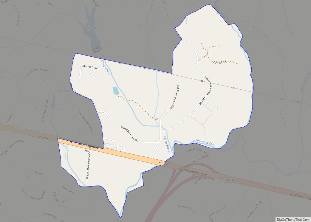
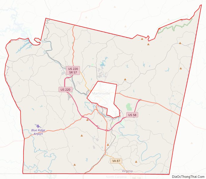
Henry County Road Map
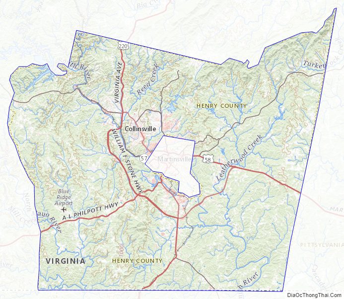
Geography
According to the U.S. Census Bureau, the county has a total area of 384 square miles (990 km), of which 382 square miles (990 km) is land and 2 square miles (5.2 km) (0.5%) is water.
Districts
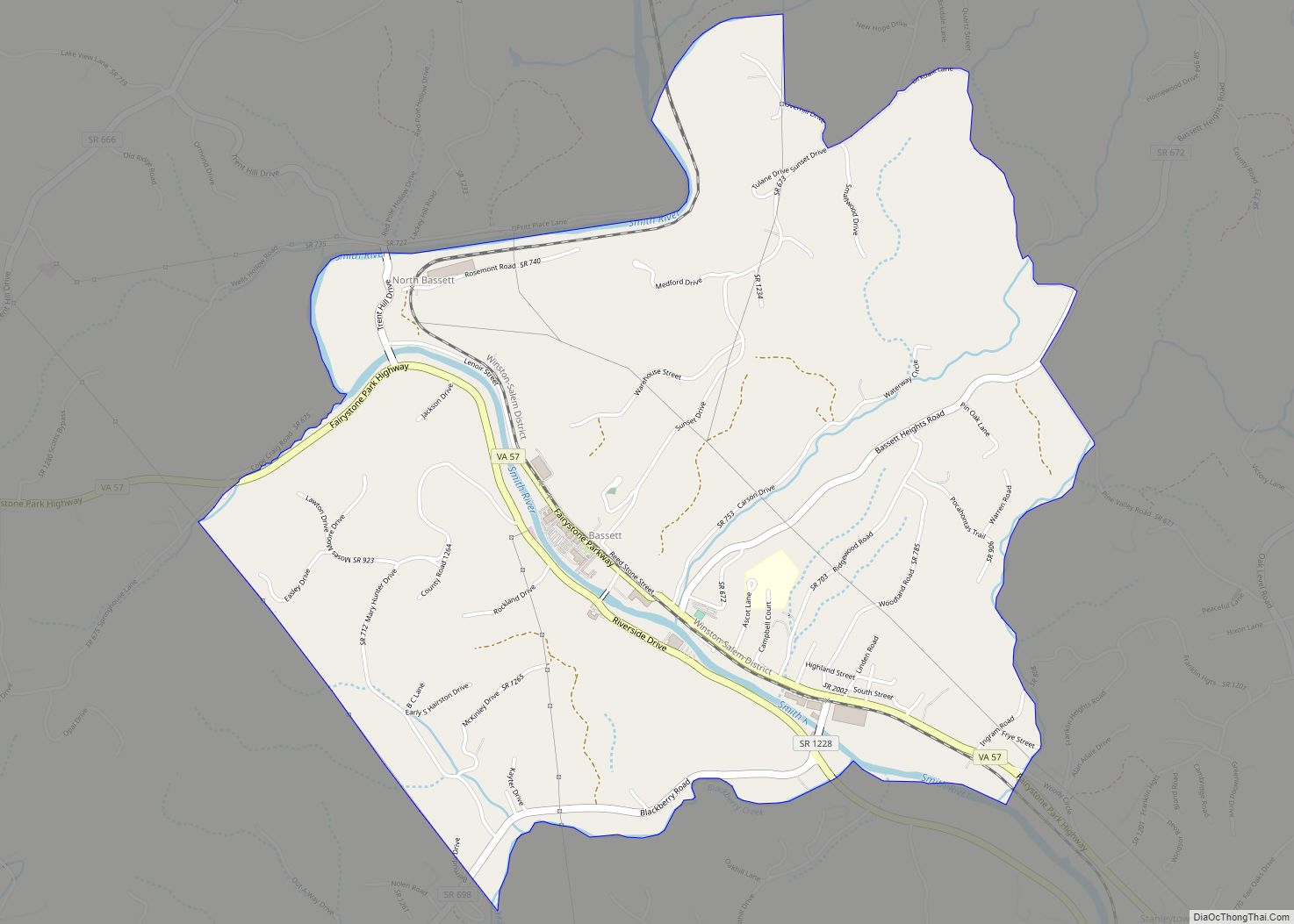
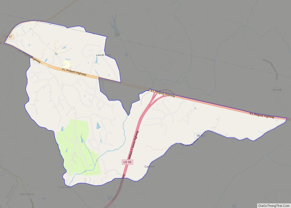
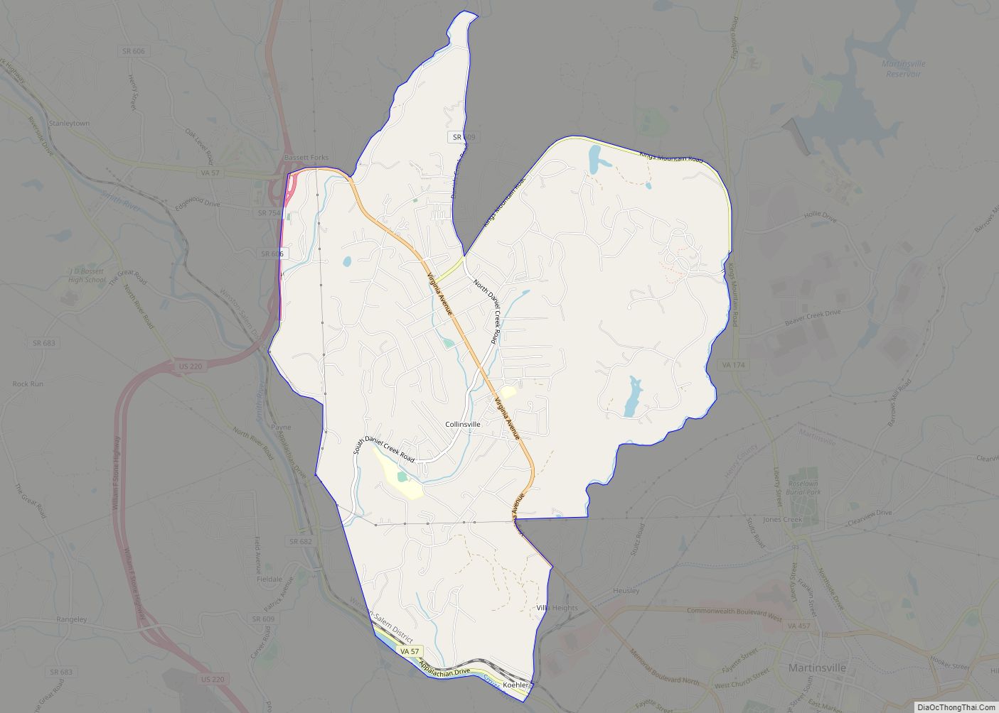
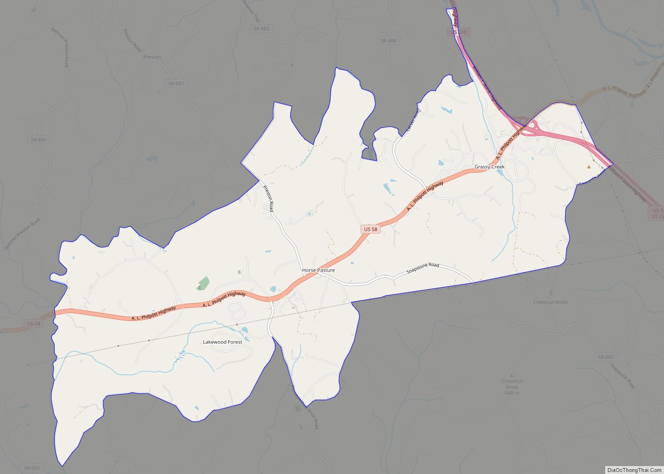
The county’s six districts are as follows, in alphabetical order: Axton, Bassett, Collinsville, Horsepasture, Reed Creek, and Ridgeway.
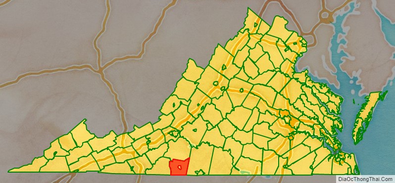
Adjacent counties
- Franklin County, Virginia – north
- Pittsylvania County, Virginia – east
- Rockingham County, North Carolina – south
- Stokes County, North Carolina – southwest
- Patrick County, Virginia – west
- Martinsville – surrounded by Henry County
Major highways
- I-73 (future)
- US 58
- US 220
- SR 57
- SR 87
- SR 108
- SR 174
- SR 457
Henry County Topographic Map
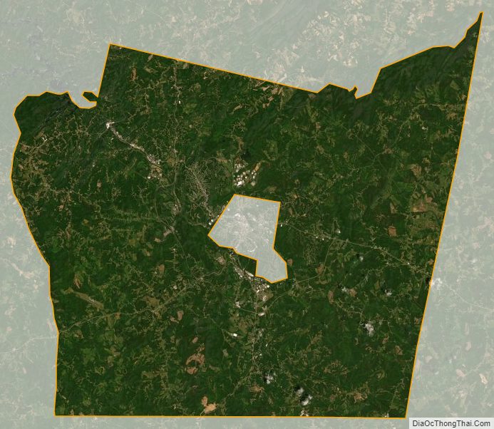
Henry County Satellite Map
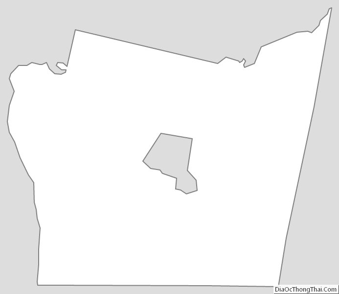
Henry County Outline Map