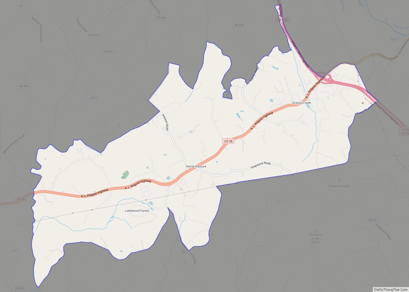
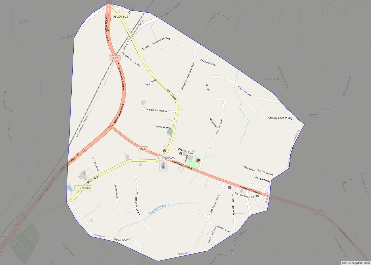
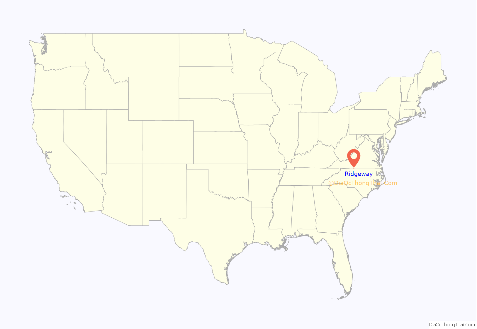
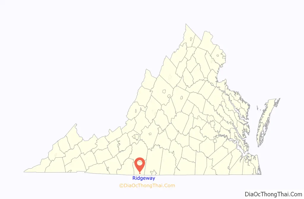
Ridgeway is a town in Henry County, Virginia, United States. The population was 742 at the 2010 census. It is part of the Martinsville Micropolitan Statistical Area. Martinsville Speedway, a NASCAR racetrack, is located between Ridgeway and the Martinsville city limits.
| Name: | Ridgeway town |
|---|---|
| LSAD Code: | 43 |
| LSAD Description: | town (suffix) |
| State: | Virginia |
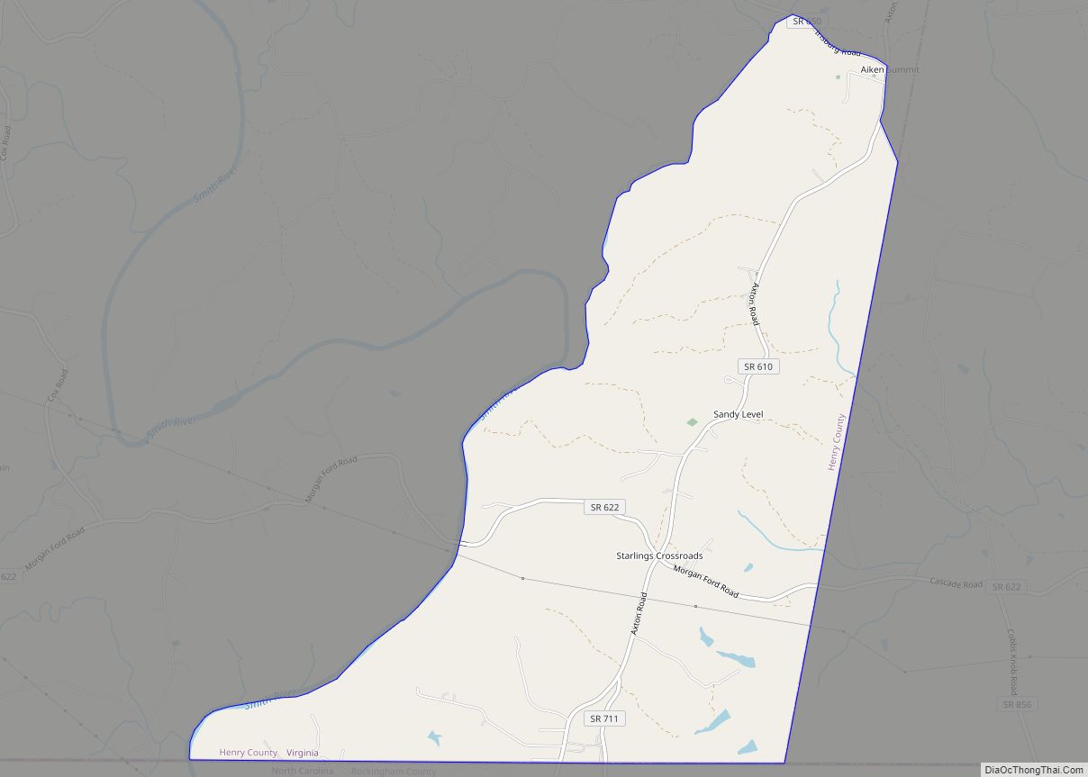
| County: | Henry County |
| Elevation: | 948 ft (289 m) |
| Total Area: | 0.95 sq mi (2.47 km²) |
| Land Area: | 0.95 sq mi (2.47 km²) |
| Water Area: | 0.00 sq mi (0.00 km²) |
| Total Population: | 742 |
| Population Density: | 725.65/sq mi (280.21/km²) |
| ZIP code: | 24148 |
| Area code: | 276 |
| FIPS code: | 5167208 |
| GNISfeature ID: | 1473206 |
Online Interactive Map
Click on ![]() to view map in "full screen" mode.
to view map in "full screen" mode.
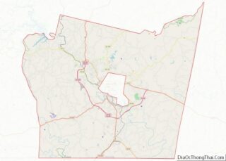
Ridgeway location map. Where is Ridgeway town?
History
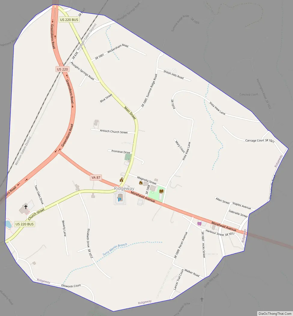
Approximately three miles south of Ridgeway in Henry County on U.S. Route 220 is a Virginia State historic marker noting the passing of the surveying party of William Byrd II, who moved through the area in 1728 on his expedition to survey the dividing line between Virginia and North Carolina.
Belleview and Ingleside are listed on the National Register of Historic Places.
Ridgeway Road Map
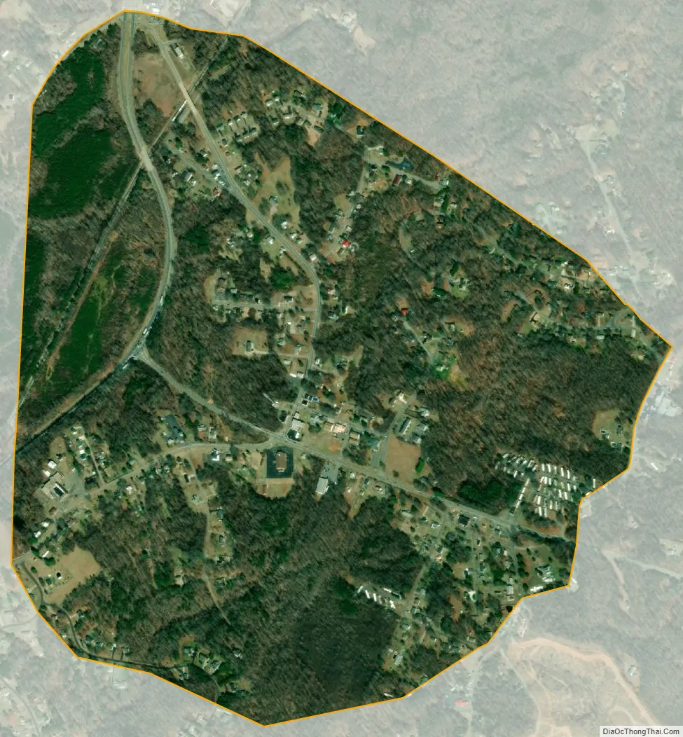
Ridgeway city Satellite Map
Geography
Ridgeway is located in southern Henry County at 36°34′45″N 79°51′36″W / 36.57917°N 79.86000°W / 36.57917; -79.86000 (36.579148, −79.860078). U.S. Route 220 passes through the west side of the town, leading north 8 miles (13 km) to Martinsville and 59 miles (95 km) to Roanoke; and south 40 miles (64 km) to Greensboro, North Carolina. Virginia State Route 87 passes through the center of Ridgeway and leads southeast 8 miles (13 km) to Eden, North Carolina.
According to the United States Census Bureau, Ridgeway has a total area of 0.97 square miles (2.5 km), all of it land. The north side of Ridgeway drains via Marrowbone Creek and Reds Creek to the Smith River, a tributary of the Dan River, while the south side of town drains to Matrimony Creek, also a tributary of the Dan River.
See also
Map of Virginia State and its subdivision:- Accomack
- Albemarle
- Alexandria
- Alleghany
- Amelia
- Amherst
- Appomattox
- Arlington
- Augusta
- Bath
- Bedford
- Bedford City
- Bland
- Botetourt
- Bristol
- Brunswick
- Buchanan
- Buckingham
- Buena Vista
- Campbell
- Caroline
- Carroll
- Charles City
- Charlotte
- Charlottesville
- Chesapeake
- Chesterfield
- Clarke
- Clifton Forge City
- Colonial Heights
- Covington
- Craig
- Culpeper
- Cumberland
- Danville
- Dickenson
- Dinwiddie
- Emporia
- Essex
- Fairfax
- Fairfax City
- Falls Church
- Fauquier
- Floyd
- Fluvanna
- Franklin
- Frederick
- Fredericksburg
- Galax
- Giles
- Gloucester
- Goochland
- Grayson
- Greene
- Greensville
- Halifax
- Hampton
- Hanover
- Harrisonburg
- Henrico
- Henry
- Highland
- Hopewell
- Isle of Wight
- James City
- King and Queen
- King George
- King William
- Lancaster
- Lee
- Lexington
- Loudoun
- Louisa
- Lunenburg
- Lynchburg
- Madison
- Manassas
- Manassas Park
- Martinsville
- Mathews
- Mecklenburg
- Middlesex
- Montgomery
- Nelson
- New Kent
- Newport News
- Norfolk
- Northampton
- Northumberland
- Norton
- Nottoway
- Orange
- Page
- Patrick
- Petersburg
- Pittsylvania
- Poquoson
- Portsmouth
- Powhatan
- Prince Edward
- Prince George
- Prince William
- Pulaski
- Radford
- Rappahannock
- Richmond
- Roanoke
- Roanoke City
- Rockbridge
- Rockingham
- Russell
- Salem
- Scott
- Shenandoah
- Smyth
- Southampton
- Spotsylvania
- Stafford
- Staunton
- Suffolk
- Surry
- Sussex
- Tazewell
- Virginia Beach
- Warren
- Washington
- Waynesboro
- Westmoreland
- Williamsburg
- Winchester
- Wise
- Wythe
- York
- Alabama
- Alaska
- Arizona
- Arkansas
- California
- Colorado
- Connecticut
- Delaware
- District of Columbia
- Florida
- Georgia
- Hawaii
- Idaho
- Illinois
- Indiana
- Iowa
- Kansas
- Kentucky
- Louisiana
- Maine
- Maryland
- Massachusetts
- Michigan
- Minnesota
- Mississippi
- Missouri
- Montana
- Nebraska
- Nevada
- New Hampshire
- New Jersey
- New Mexico
- New York
- North Carolina
- North Dakota
- Ohio
- Oklahoma
- Oregon
- Pennsylvania
- Rhode Island
- South Carolina
- South Dakota
- Tennessee
- Texas
- Utah
- Vermont
- Virginia
- Washington
- West Virginia
- Wisconsin
- Wyoming