Jersey County is a county located in the U.S. state of Illinois. At the 2020 census, it had a population of 21,512. The county seat and largest community is Jerseyville, with a population of 8,337 in 2010. The county’s smallest incorporated community is Otterville, with a population of 87.
Jersey County is included in the St. Louis, MO-IL Metropolitan Statistical Area.
| Name: | Jersey County |
|---|---|
| FIPS code: | 17-083 |
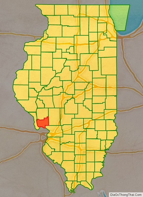
| State: | Illinois |
| Founded: | February 28, 1839 |
| Named for: | New Jersey |
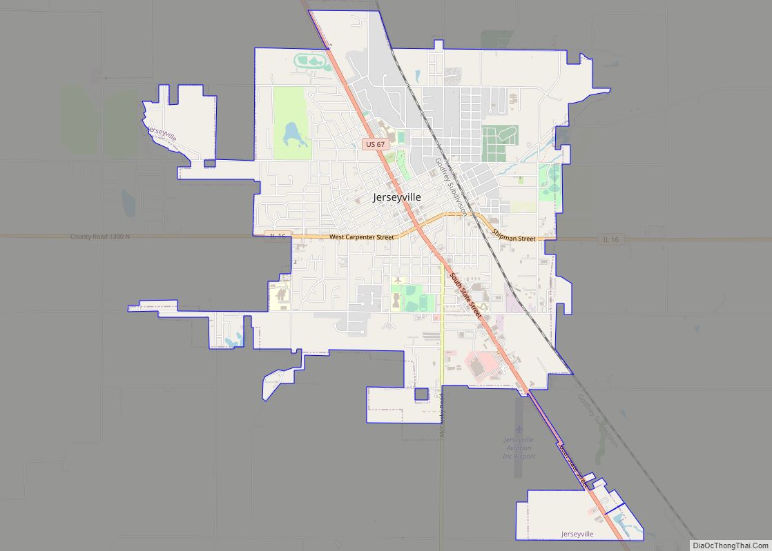
| Seat: | Jerseyville |
| Largest city: | Jerseyville |
| Total Area: | 377 sq mi (980 km²) |
| Land Area: | 369 sq mi (960 km²) |
| Total Population: | 21,512 |
| Population Density: | 57/sq mi (22/km²) |
| Time zone: | UTC−6 (Central) |
| Summer Time Zone (DST): | UTC−5 (CDT) |
| Website: | www.jerseycounty-il.us |
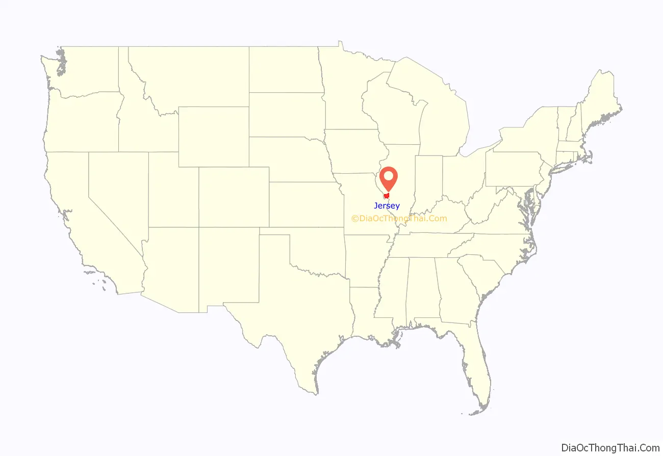
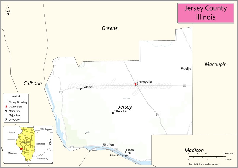
Jersey County location map. Where is Jersey County?
History
Jersey County lies just northeast of where the great Mississippi and Illinois rivers meet. It is the former home of the Kickapoo, Menomini, Potawatomi, and Illiniwek Confederation American Indians. The first European explorers to visit the area, Father Marquette and Louis Jolliet, arrived in 1673, where they encountered the fearsome painting of the Piasa bird. The present day Pere Marquette State Park, located near Grafton, is named in Father Marquette’s honor, and a monument to him is located at the park.
Jersey County was founded on February 28, 1839, and was formed out of Greene County. The county was named for the state of New Jersey, from which many of the early settlers emigrated – which was itself named for the Channel Island of Jersey in Great Britain. The area quickly evolved into several small agricultural communities. As the area soon began to flourish, a county government was established and a courthouse was built in Jerseyville, the county seat. The Jersey County Courthouse was designed by architect Henry Elliott who also designed the courthouses in nearby Greene County, Edgar County, Illinois, DeWitt County, Illinois (later demolished in 1987) and Pike County, Illinois. The cornerstone for the courthouse was laid on July 4, 1893. The Romanesque Revival style courthouse is a magnificent architectural structure of limestone quarried from the nearby town of Grafton, Illinois.
Jersey County at the time of its creation in 1839
Recent history
Today, while the county maintains its agricultural base, it is also within commuting distance of jobs and industry in St. Louis, Missouri and the surrounding area. A large portion of the population works outside of Jersey County and benefits from being “Near the crowd, but not in it.”, the official slogan of the Jersey County Business Association’s advertising campaign. The bordering rivers play an important part in Jersey County’s economy by supporting agricultural producers and agribusiness, and by creating a strong tourist market. Education, manufacturing, and retail are also among the county’s largest industries.
Jersey County Road Map
Geography
According to the U.S. Census Bureau, the county has a total area of 377 square miles (980 km), of which 369 square miles (960 km) is land and 7.9 square miles (20 km) (2.1%) is water. Jersey County is bordered by three bodies of water: the Mississippi River to the south, the Illinois River to the west, and Macoupin Creek to the northwest.
Climate
Typically, the county’s climate reflects most Midwest areas, located in the transitional zone between the humid continental climate type and the humid subtropical climate type (Köppen Dfa and Cfa, respectively), with neither large mountains nor large bodies of water to moderate its temperature. Spring is the wettest season and produces severe weather ranging from tornadoes to snow or ice storms. Summers are hot and humid, and the humidity often makes the heat index rise to temperatures feeling well above 100 °F (38 °C). Fall is mild with lower humidity and can produce intermittent bouts of heavy rainfall with the first snow flurries usually forming in late November. Winters can be cold at times with periodic light snow and temperatures below freezing.
In recent years, average temperatures in Jerseyville have ranged from a low of 17 °F (−8 °C) in January to a high of 88 °F (31 °C) in July. The record low temperature of −25 °F (−32 °C) was recorded in January 1977 and the record high temperature of 112 °F (44 °C) was recorded in July 1954. Average monthly precipitation ranges from 1.92 inches (49 mm) in January to 4.14 inches (105 mm) in April.
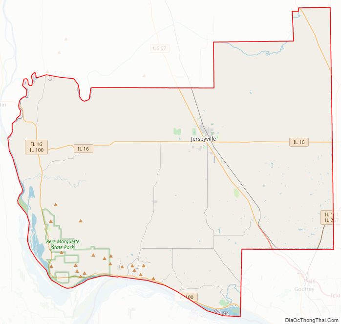
Major highways
- U.S. Route 67
- Illinois Route 3
- Illinois Route 16
- Illinois Route 100
- Illinois Route 109
- Illinois Route 111
- Illinois Route 267
Adjacent counties
State protected areas
- Mississippi River State Fish and Wildlife Area
- Pere Marquette State Park
National protected areas
- Two Rivers National Wildlife Refuge (eastern portion)
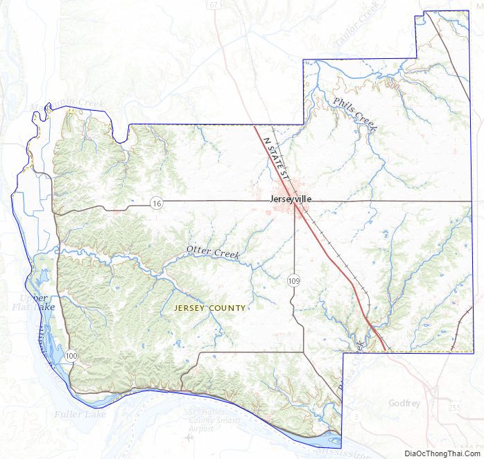
Jersey County Topographic Map
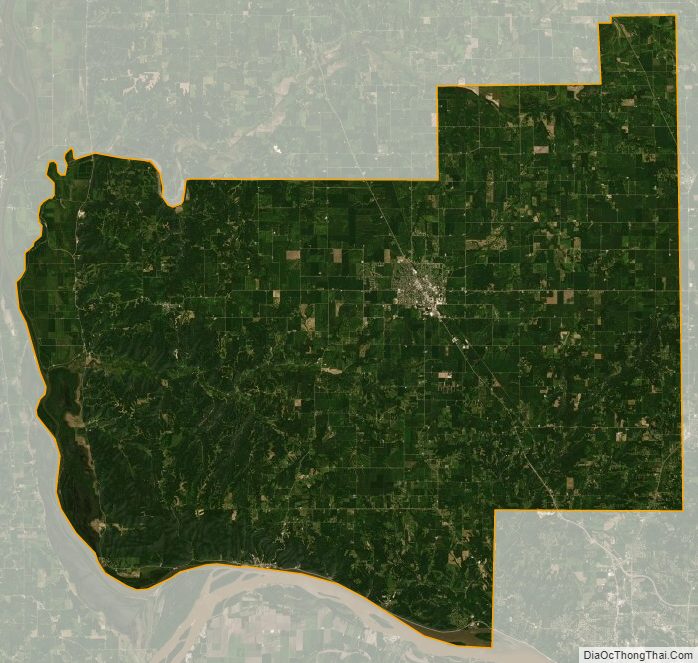
Jersey County Satellite Map
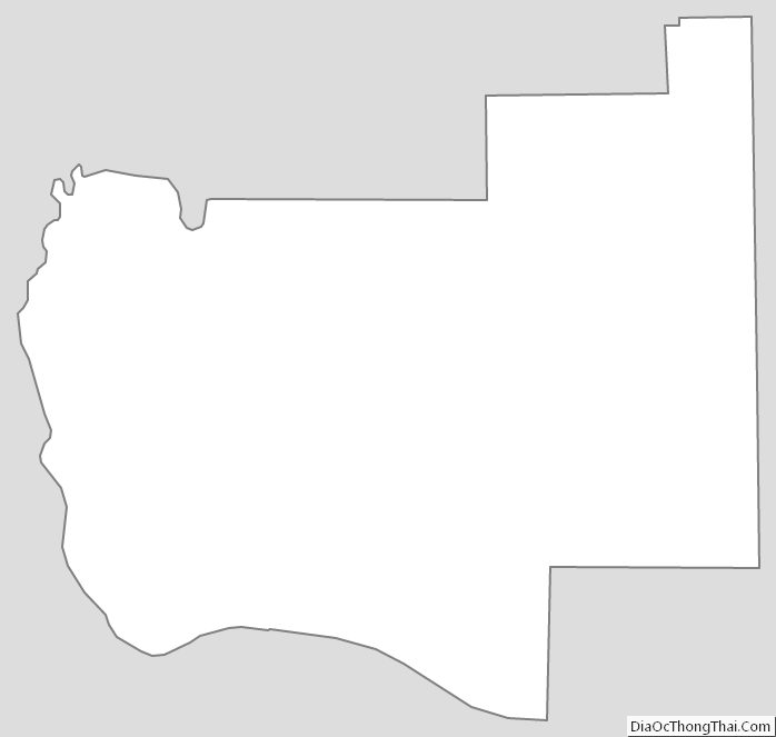
Jersey County Outline Map