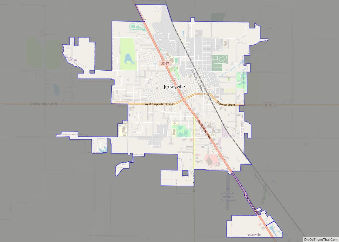
Jerseyville is the largest city in and the county seat of Jersey County, Illinois, United States. At the 2020 census, the city had a total population of 8,337.
Jerseyville is a part of Southern Illinois, the Metro-East region and the St. Louis Metropolitan Statistical Area.
| Name: | Jerseyville city |
|---|---|
| LSAD Code: | 25 |
| LSAD Description: | city (suffix) |
| State: | Illinois |
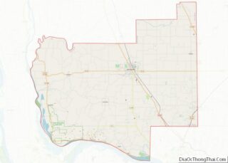
| County: | Jersey County |
| Founded: | 1827 |
| Elevation: | 656 ft (200 m) |
| Total Area: | 5.24 sq mi (13.57 km²) |
| Land Area: | 5.24 sq mi (13.56 km²) |
| Water Area: | 0.00 sq mi (0.00 km²) |
| Total Population: | 8,337 |
| Population Density: | 1,591.94/sq mi (614.64/km²) |
| ZIP code: | 62052 |
| Area code: | 618 |
| FIPS code: | 1738414 |
| GNISfeature ID: | 2395467 |
| Website: | www.jerseyville-il.us |
Online Interactive Map
Click on ![]() to view map in "full screen" mode.
to view map in "full screen" mode.
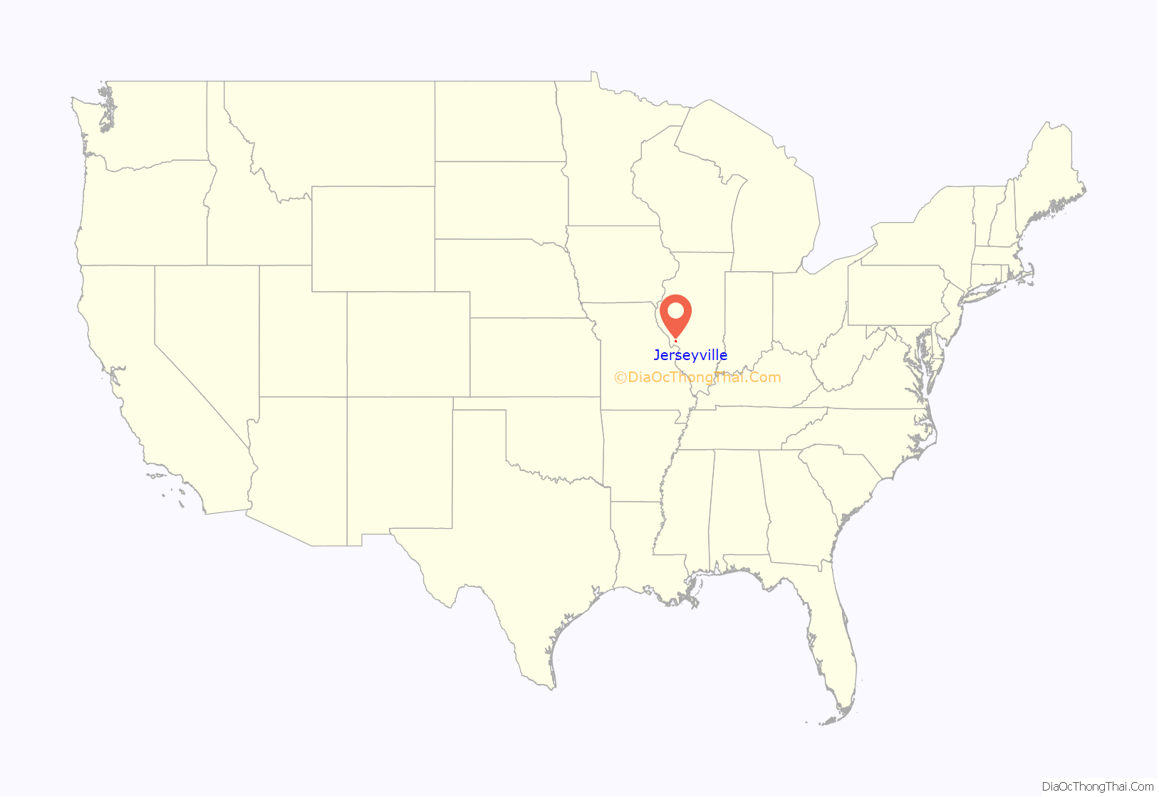
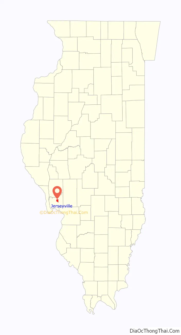
Jerseyville location map. Where is Jerseyville city?
History
In 1827, James Faulkner, a Pennsylvania native, and his family built a small framed structure that was named the “Little Red House,” in the area that is now known as Jerseyville. The “Little Red House” served as the first stagecoach station, first tavern, first school, and first bank in the immediate area. By 1834, the small settlement that grew up around Faulkner’s home, then known as Hickory Grove by its residents, was surveyed and platted by two immigrants from New Jersey, John Lott and Edward M. Daly. Lott and Daly’s involvement marked the beginning of a proportionally large number of merchants, businessmen and settlers from New Jersey. A meeting was called in that same year at the “Little Red House” to vote for a town name, so a post office could be established. The name of Jerseyville was chosen to honor the native state of many of its inhabitants. In 1839, Jersey County was formed out of Greene County and Jerseyville was named as its county seat.
Jerseyville was a minor stopping point on the historic Underground Railroad before and during the Civil War. The “Little Red House” and a few other residences were utilized as stations for the Underground Railroad until the end of the Civil War, with some residences having false cellars that were used to hide slaves searching for freedom.
After the American Civil War ended, and the construction of the Alton & Chicago Railroad was completed, Jerseyville saw a period of commercial, industrial and urban growth. The first major period of growth in the city occurred from 1880 to 1916, and from that time to the present, Jerseyville’s growth has since been steady and substantial. The majority of the commercial structures that are now located in the Downtown Historic District and Courthouse Square were built during the late 19th and early 20th centuries. It was also during this time that the present Jersey County Courthouse was built. The two-story, 124-foot-tall (38 m) Romanesque Revival building was completed in 1893, and is considered to be one of the most aesthetic courthouses in the area. Other nearby Victorian style buildings in the city include Queen Anne, Edwardian and Italianate architectural features, with several of these buildings having been recently renovated.
From 1912 to 1918, Jerseyville was the terminus of an interurban electric passenger railroad from Alton which was the stub of a project by the Alton, Jacksonville and Peoria Railway for a line to Peoria.
In recent decades, Jerseyville has been a testing ground in the agricultural biotechnology field. Bayer (formerly Monsanto) owns and operates a facility located just south of the city, which in 1987, was the site of the world’s very first biotechnology field trial – first with tomatoes and later that year with soybeans. The facility was also home to the first triple stacked corn trial in 1998, which later became a part of one of Monsanto’s top-selling products. The facility was further expanded in 2008, and now consists of sixteen greenhouses and almost 300 acres (120 ha) of land for field testing.
The Downtown Historic District is presently home to some antique stores and gift shops, some clothing and shoe stores, a pharmacy, public library, post office, and several local restaurants and banks. Most of the growth that has occurred since the early 1990s has been in the southern and southwestern portions of the city, where new residential subdivisions and retail shopping centers have been built, and where numerous land annexations have been made by the city.
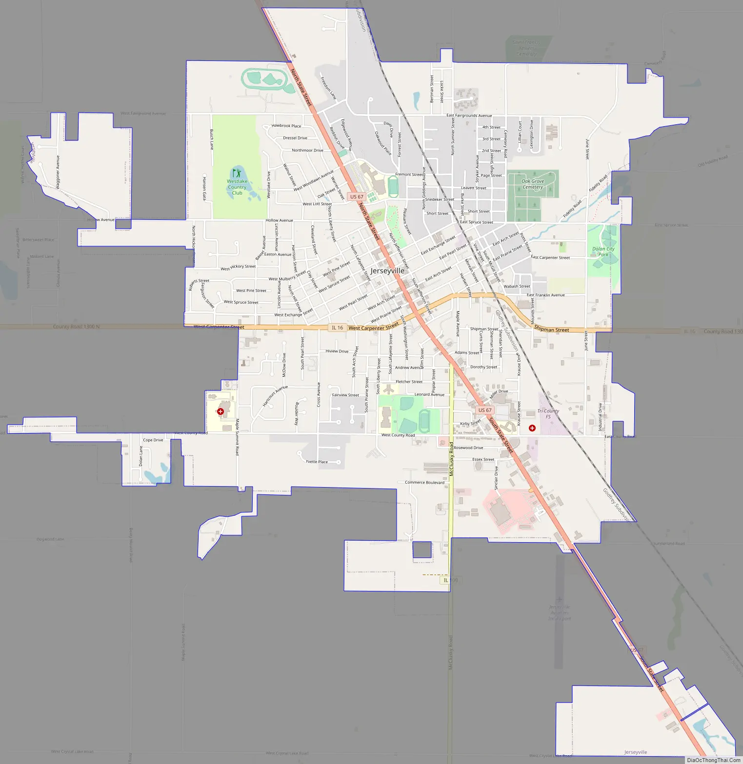
Jerseyville Road Map
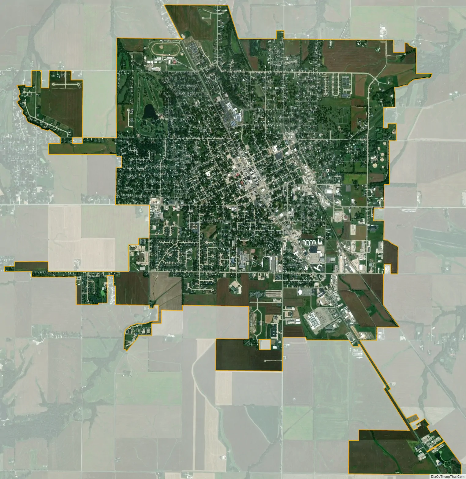
Jerseyville city Satellite Map
Geography
Jerseyville is located at 39°7′15″N 90°19′39″W / 39.12083°N 90.32750°W / 39.12083; -90.32750 (39.120789, -90.327545).
According to the 2010 census, Jerseyville has a total area of 5.08 square miles (13.16 km), all land.
Climate
Typically, the city’s climate reflects most Midwest cities, located in the transitional zone between the humid continental climate type and the humid subtropical climate type (Köppen Dfa and Cfa, respectively), with neither large mountains nor large bodies of water to moderate its temperature. Spring is the wettest season and produces severe weather ranging from tornadoes to snow or ice storms. Summers are hot and humid, and the humidity often makes the heat index rise to temperatures feeling well above 100 °F (38 °C). Fall is mild with lower humidity and can produce intermittent bouts of heavy rainfall with the first snow flurries usually forming in late November. Winters can be cold at times with periodic light snow and temperatures below freezing.
In recent years, average temperatures in Jerseyville have ranged from a low of 19.2 °F (−7.1 °C) in January to a high of 86.5 °F (30.3 °C) in July. The record low temperature of −25 °F (−32 °C) was recorded in January 1977 and the record high temperature of 112 °F (44 °C) was recorded in July 1954. Average monthly precipitation ranges from 2.31 inches (59 mm) in February to 5.29 inches (134 mm) in May.
See also
Map of Illinois State and its subdivision:- Adams
- Alexander
- Bond
- Boone
- Brown
- Bureau
- Calhoun
- Carroll
- Cass
- Champaign
- Christian
- Clark
- Clay
- Clinton
- Coles
- Cook
- Crawford
- Cumberland
- De Kalb
- De Witt
- Douglas
- Dupage
- Edgar
- Edwards
- Effingham
- Fayette
- Ford
- Franklin
- Fulton
- Gallatin
- Greene
- Grundy
- Hamilton
- Hancock
- Hardin
- Henderson
- Henry
- Iroquois
- Jackson
- Jasper
- Jefferson
- Jersey
- Jo Daviess
- Johnson
- Kane
- Kankakee
- Kendall
- Knox
- La Salle
- Lake
- Lake Michigan
- Lawrence
- Lee
- Livingston
- Logan
- Macon
- Macoupin
- Madison
- Marion
- Marshall
- Mason
- Massac
- McDonough
- McHenry
- McLean
- Menard
- Mercer
- Monroe
- Montgomery
- Morgan
- Moultrie
- Ogle
- Peoria
- Perry
- Piatt
- Pike
- Pope
- Pulaski
- Putnam
- Randolph
- Richland
- Rock Island
- Saint Clair
- Saline
- Sangamon
- Schuyler
- Scott
- Shelby
- Stark
- Stephenson
- Tazewell
- Union
- Vermilion
- Wabash
- Warren
- Washington
- Wayne
- White
- Whiteside
- Will
- Williamson
- Winnebago
- Woodford
- Alabama
- Alaska
- Arizona
- Arkansas
- California
- Colorado
- Connecticut
- Delaware
- District of Columbia
- Florida
- Georgia
- Hawaii
- Idaho
- Illinois
- Indiana
- Iowa
- Kansas
- Kentucky
- Louisiana
- Maine
- Maryland
- Massachusetts
- Michigan
- Minnesota
- Mississippi
- Missouri
- Montana
- Nebraska
- Nevada
- New Hampshire
- New Jersey
- New Mexico
- New York
- North Carolina
- North Dakota
- Ohio
- Oklahoma
- Oregon
- Pennsylvania
- Rhode Island
- South Carolina
- South Dakota
- Tennessee
- Texas
- Utah
- Vermont
- Virginia
- Washington
- West Virginia
- Wisconsin
- Wyoming