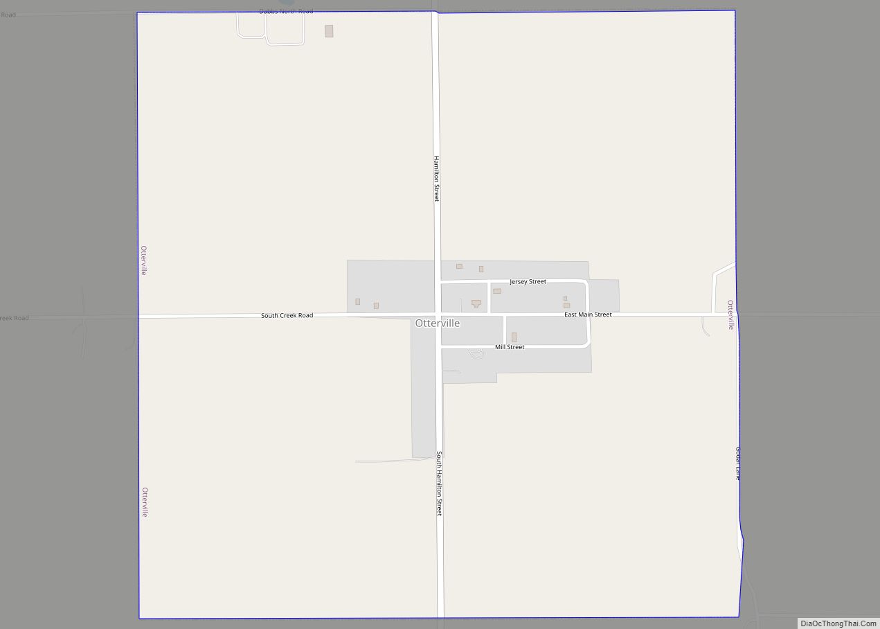
Otterville is an incorporated town in Jersey County, Illinois, United States. As of the 2020 census, the town had a total population of 87.
| Name: | Otterville town |
|---|---|
| LSAD Code: | 43 |
| LSAD Description: | town (suffix) |
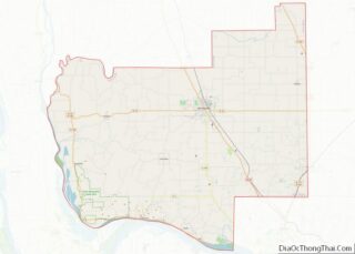
| State: | Illinois |
| County: | Jersey County |
| Incorporated: | March 7, 1867 (1867-03-07) |
| Elevation: | 627 ft (191 m) |
| Total Area: | 1.01 sq mi (2.61 km²) |
| Land Area: | 1.01 sq mi (2.61 km²) |
| Water Area: | 0.00 sq mi (0.00 km²) |
| Total Population: | 87 |
| Population Density: | 86.48/sq mi (33.39/km²) |
| Area code: | 618 |
| FIPS code: | 1756978 |
| GNISfeature ID: | 2396842 |
Online Interactive Map
Click on ![]() to view map in "full screen" mode.
to view map in "full screen" mode.
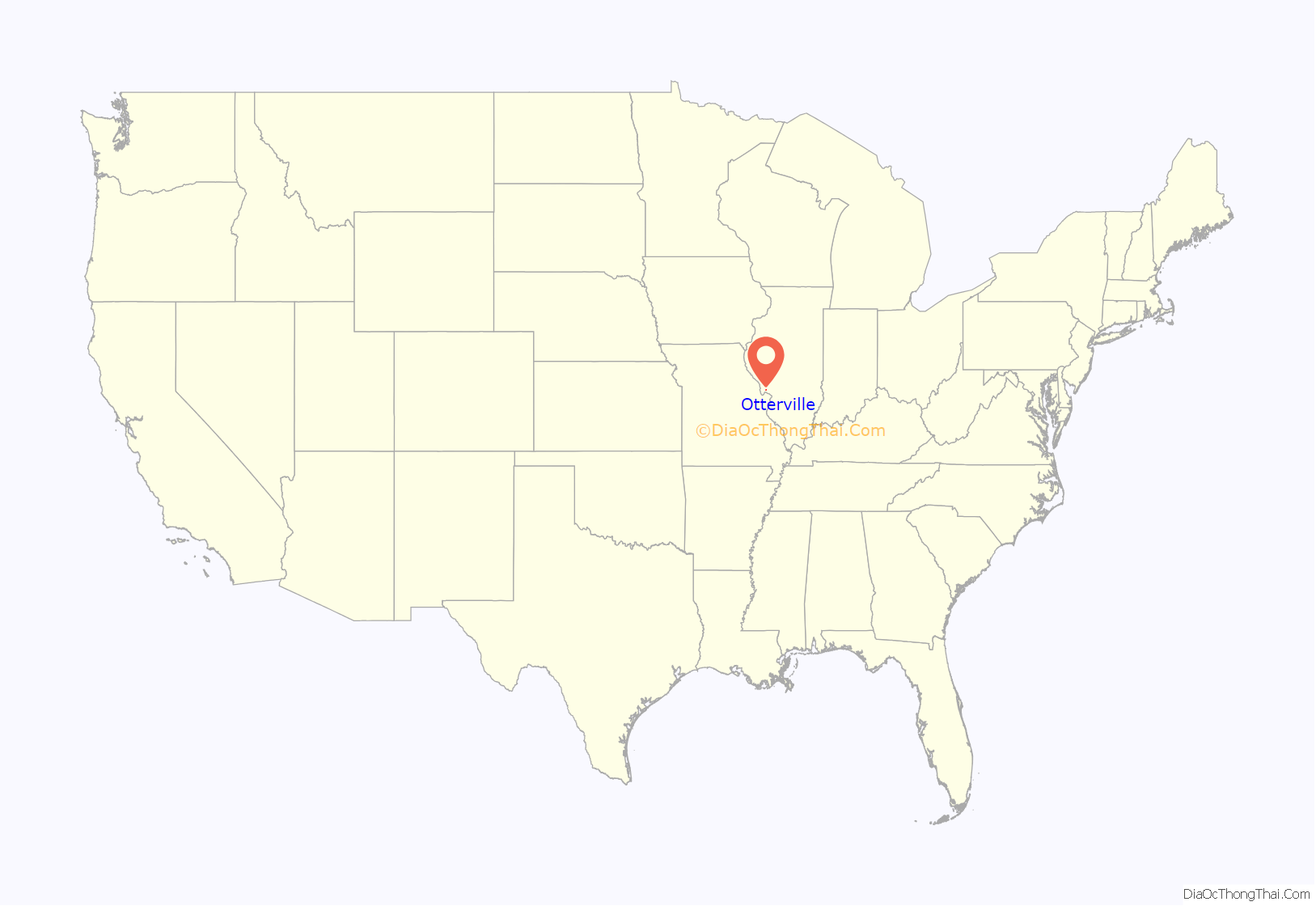
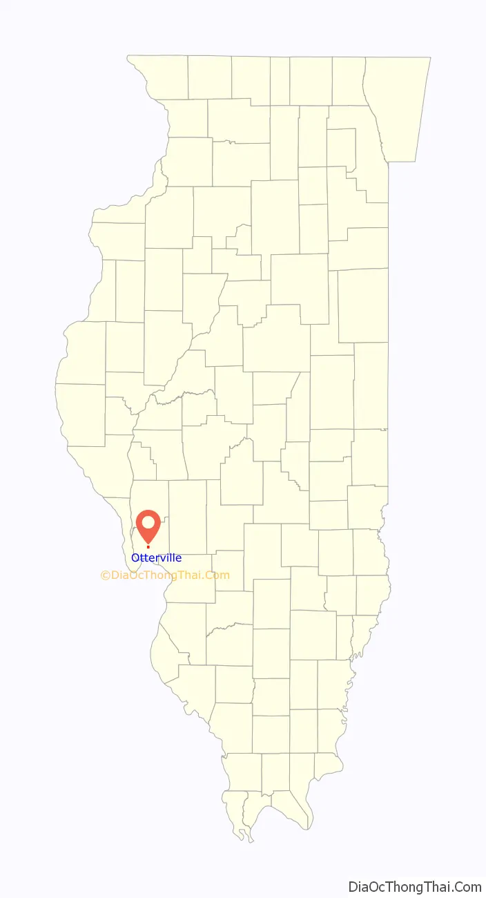
Otterville location map. Where is Otterville town?
History
Otterville is the home of the first free integrated school in the United States, the Hamilton Primary School, located on Main Street. In 1834, Dr. Silas Hamilton, a local physician, left $4,000 for the construction and operation of a building for educational and religious purposes. A stone-built school was opened in 1836, and the tuition-free education for local students attracted families to the area. The school was razed in 1872, and was rebuilt and enlarged, with the original stones at the base. Classes were held at the school until 1971. George Washington, a slave freed by Dr. Hamilton, studied here, became successful, and established a perpetual scholarship fund for Americans of African descent. He also provided for the erection of a monument to his former master at the school.
The school was placed on the National Register of Historic Places in 1998.
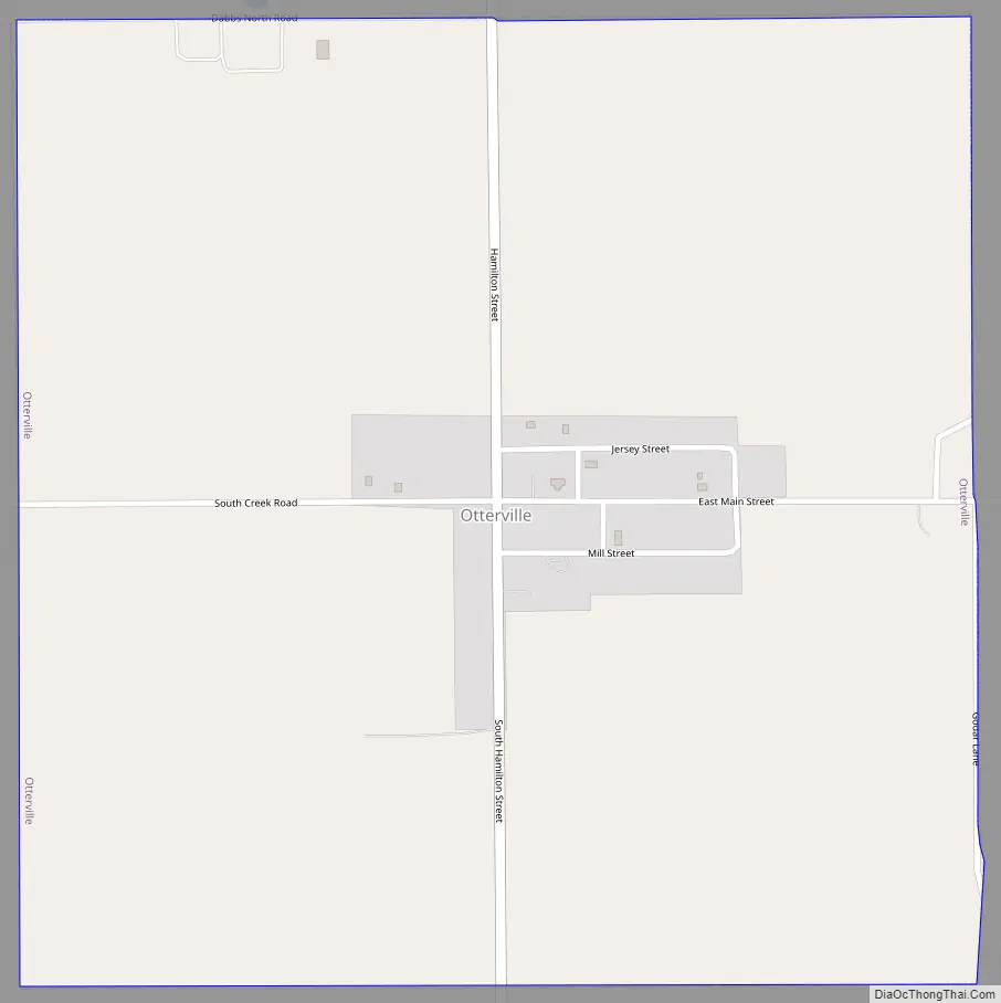
Otterville Road Map
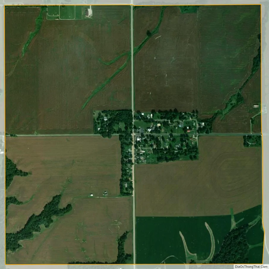
Otterville city Satellite Map
Geography
Otterville is located at 39°3′4″N 90°23′51″W / 39.05111°N 90.39750°W / 39.05111; -90.39750 (39.051073, -90.397601).
According to the 2010 census, Otterville has a total area of 1.01 square miles (2.62 km), all land.
See also
Map of Illinois State and its subdivision:- Adams
- Alexander
- Bond
- Boone
- Brown
- Bureau
- Calhoun
- Carroll
- Cass
- Champaign
- Christian
- Clark
- Clay
- Clinton
- Coles
- Cook
- Crawford
- Cumberland
- De Kalb
- De Witt
- Douglas
- Dupage
- Edgar
- Edwards
- Effingham
- Fayette
- Ford
- Franklin
- Fulton
- Gallatin
- Greene
- Grundy
- Hamilton
- Hancock
- Hardin
- Henderson
- Henry
- Iroquois
- Jackson
- Jasper
- Jefferson
- Jersey
- Jo Daviess
- Johnson
- Kane
- Kankakee
- Kendall
- Knox
- La Salle
- Lake
- Lake Michigan
- Lawrence
- Lee
- Livingston
- Logan
- Macon
- Macoupin
- Madison
- Marion
- Marshall
- Mason
- Massac
- McDonough
- McHenry
- McLean
- Menard
- Mercer
- Monroe
- Montgomery
- Morgan
- Moultrie
- Ogle
- Peoria
- Perry
- Piatt
- Pike
- Pope
- Pulaski
- Putnam
- Randolph
- Richland
- Rock Island
- Saint Clair
- Saline
- Sangamon
- Schuyler
- Scott
- Shelby
- Stark
- Stephenson
- Tazewell
- Union
- Vermilion
- Wabash
- Warren
- Washington
- Wayne
- White
- Whiteside
- Will
- Williamson
- Winnebago
- Woodford
- Alabama
- Alaska
- Arizona
- Arkansas
- California
- Colorado
- Connecticut
- Delaware
- District of Columbia
- Florida
- Georgia
- Hawaii
- Idaho
- Illinois
- Indiana
- Iowa
- Kansas
- Kentucky
- Louisiana
- Maine
- Maryland
- Massachusetts
- Michigan
- Minnesota
- Mississippi
- Missouri
- Montana
- Nebraska
- Nevada
- New Hampshire
- New Jersey
- New Mexico
- New York
- North Carolina
- North Dakota
- Ohio
- Oklahoma
- Oregon
- Pennsylvania
- Rhode Island
- South Carolina
- South Dakota
- Tennessee
- Texas
- Utah
- Vermont
- Virginia
- Washington
- West Virginia
- Wisconsin
- Wyoming