Grafton is the oldest city in Jersey County, Illinois, United States. It is located near the confluence of the Illinois and Mississippi Rivers. As of the 2020 census, the city had a total population of 626. Prior to the Great Flood of 1993, Grafton had enjoyed a stable population of nearly 1,000 residents.
Grafton is a part of the Metro-East region and Greater St. Louis.
| Name: | Grafton city |
|---|---|
| LSAD Code: | 25 |
| LSAD Description: | city (suffix) |
| State: | Illinois |
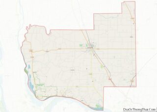
| County: | Jersey County |
| Founded: | 1832 |
| Elevation: | 758 ft (231 m) |
| Total Area: | 3.71 sq mi (9.62 km²) |
| Land Area: | 3.71 sq mi (9.62 km²) |
| Water Area: | 0.00 sq mi (0.00 km²) |
| Total Population: | 626 |
| Population Density: | 168.64/sq mi (65.11/km²) |
| Area code: | 618 |
| FIPS code: | 1730653 |
| GNISfeature ID: | 2394943 |
| Website: | http://cityofgraftonil.com/ |
Online Interactive Map
Click on ![]() to view map in "full screen" mode.
to view map in "full screen" mode.
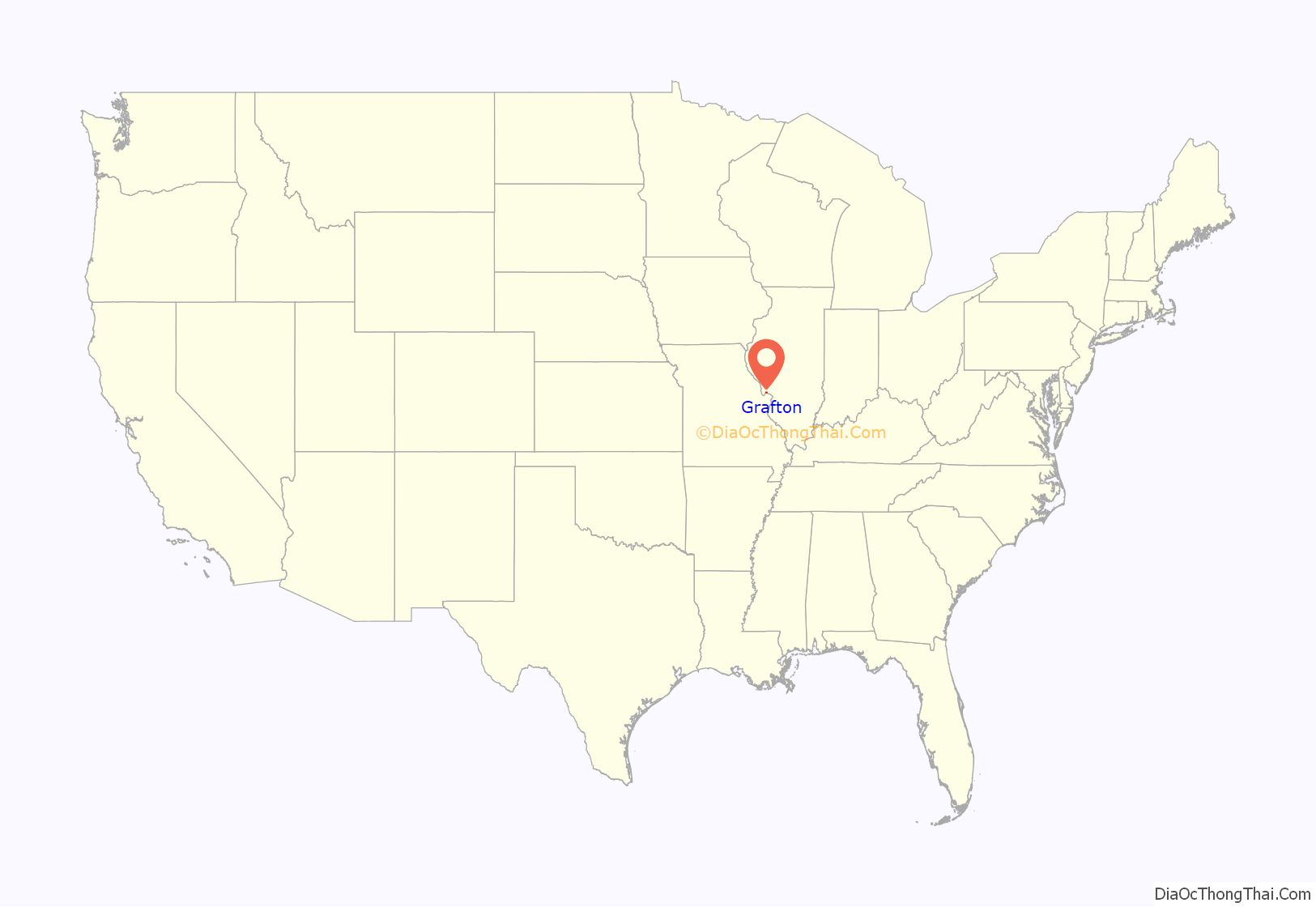
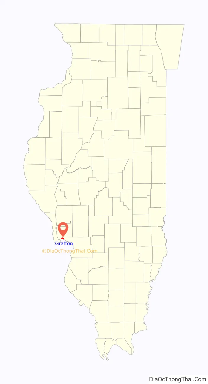
Grafton location map. Where is Grafton city?
History
Founded in 1832 by James Mason, Grafton is the oldest city in Jersey County. Described as having “a post office, one store, one tavern, and a number of families” in 1834, the area was being settled as early as 1812 when a blockhouse was built at the confluence for protection. The city was named after Mason’s birthplace of Grafton, Massachusetts. Grafton was incorporated on May 16, 1907.
Grafton’s population reached its peak at approximately 10,000 in the 1850s with employment opportunities coming from the local stone quarries, boat building and commercial fishing. At one point, there were five quarries in or around Grafton that employed nearly 2,000 men. The local limestone was used to build the Eads Bridge in St. Louis, government buildings in Rock Island, and the Jersey County Courthouse in Jerseyville. The Shafer’s Wharf Historic District was one of the largest commercial fishing centers along the Mississippi River in the late 19th century. The Old Boatworks, located south of Main Street, once housed a paint house and a machine shop where paddle wheelers and later PT boats were built. Today, the Old Boatworks building hosts many antique and craft stalls and is open on the fourth weekend of each month from May through October.
The Great Flood of 1993 caused significant damage to many of Grafton’s structures, and a third of the city’s residents moved away. The effects of the flood are still evident and the city’s population has not recovered.
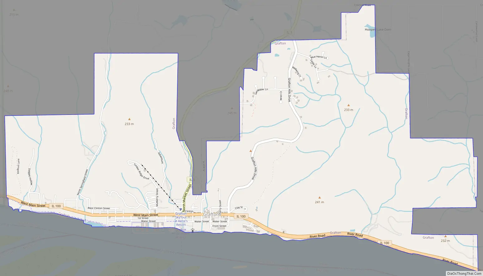
Grafton Road Map
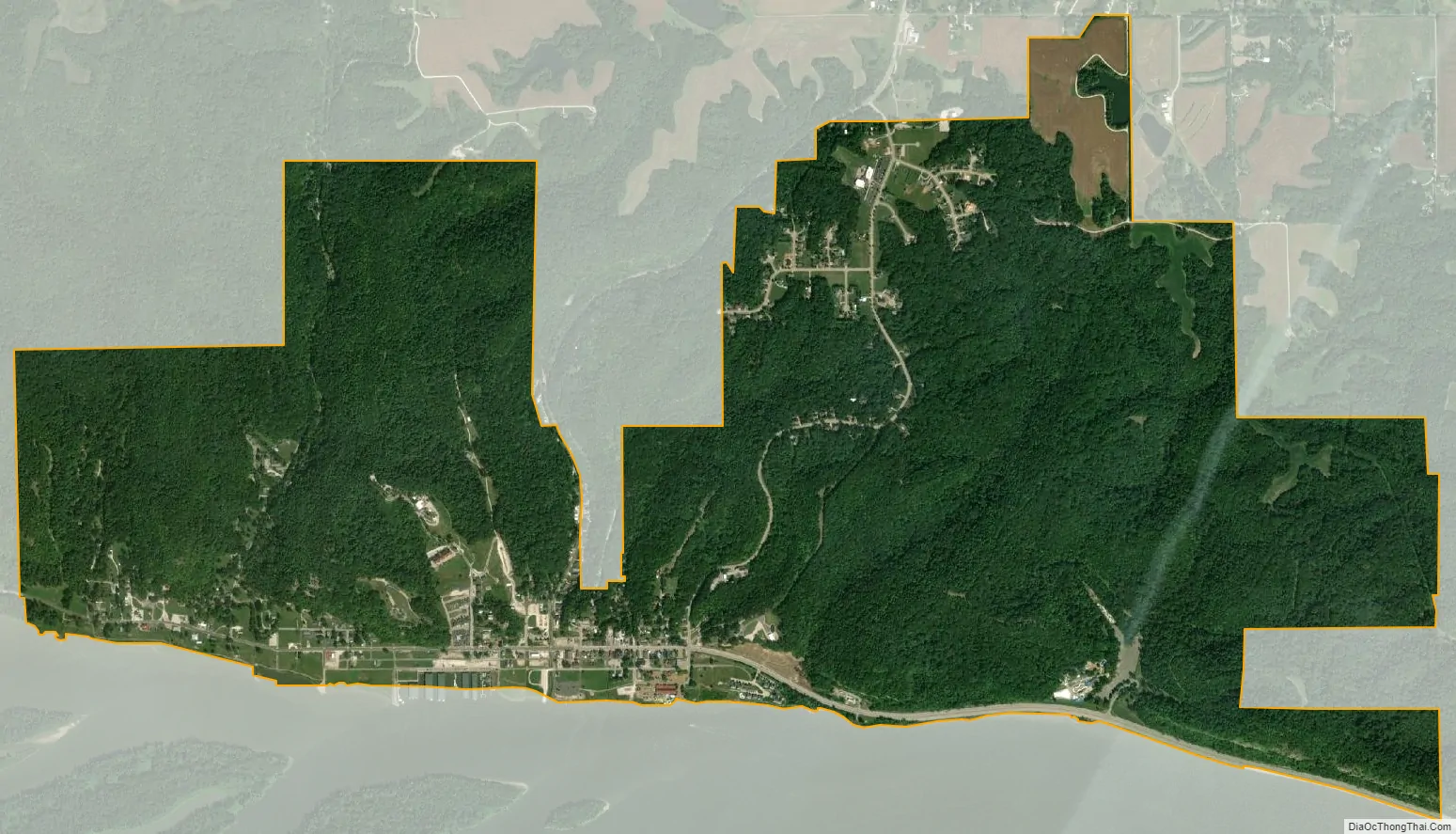
Grafton city Satellite Map
Geography
Grafton is located at 38°58′16″N 90°26′13″W / 38.97111°N 90.43694°W / 38.97111; -90.43694 (38.971115, -90.436818).
According to the 2010 census, Grafton has a total area of 3.7 square miles (9.58 km), all land.
Climate
Typically, the city’s climate reflects most Midwest cities, located in the transitional zone between the humid continental climate type and the humid subtropical climate type (Köppen Dfa and Cfa, respectively), with neither large mountains nor large bodies of water to moderate its temperature. Spring is the wettest season and produces severe weather ranging from tornadoes to snow or ice storms. Summers are hot and humid, and the humidity often makes the heat index rise to temperatures feeling well above 100 °F (38 °C). Fall is mild with lower humidity and can produce intermittent bouts of heavy rainfall with the first snow flurries usually forming in late November. Winters can be cold at times with periodic light snow and temperatures below freezing.
See also
Map of Illinois State and its subdivision:- Adams
- Alexander
- Bond
- Boone
- Brown
- Bureau
- Calhoun
- Carroll
- Cass
- Champaign
- Christian
- Clark
- Clay
- Clinton
- Coles
- Cook
- Crawford
- Cumberland
- De Kalb
- De Witt
- Douglas
- Dupage
- Edgar
- Edwards
- Effingham
- Fayette
- Ford
- Franklin
- Fulton
- Gallatin
- Greene
- Grundy
- Hamilton
- Hancock
- Hardin
- Henderson
- Henry
- Iroquois
- Jackson
- Jasper
- Jefferson
- Jersey
- Jo Daviess
- Johnson
- Kane
- Kankakee
- Kendall
- Knox
- La Salle
- Lake
- Lake Michigan
- Lawrence
- Lee
- Livingston
- Logan
- Macon
- Macoupin
- Madison
- Marion
- Marshall
- Mason
- Massac
- McDonough
- McHenry
- McLean
- Menard
- Mercer
- Monroe
- Montgomery
- Morgan
- Moultrie
- Ogle
- Peoria
- Perry
- Piatt
- Pike
- Pope
- Pulaski
- Putnam
- Randolph
- Richland
- Rock Island
- Saint Clair
- Saline
- Sangamon
- Schuyler
- Scott
- Shelby
- Stark
- Stephenson
- Tazewell
- Union
- Vermilion
- Wabash
- Warren
- Washington
- Wayne
- White
- Whiteside
- Will
- Williamson
- Winnebago
- Woodford
- Alabama
- Alaska
- Arizona
- Arkansas
- California
- Colorado
- Connecticut
- Delaware
- District of Columbia
- Florida
- Georgia
- Hawaii
- Idaho
- Illinois
- Indiana
- Iowa
- Kansas
- Kentucky
- Louisiana
- Maine
- Maryland
- Massachusetts
- Michigan
- Minnesota
- Mississippi
- Missouri
- Montana
- Nebraska
- Nevada
- New Hampshire
- New Jersey
- New Mexico
- New York
- North Carolina
- North Dakota
- Ohio
- Oklahoma
- Oregon
- Pennsylvania
- Rhode Island
- South Carolina
- South Dakota
- Tennessee
- Texas
- Utah
- Vermont
- Virginia
- Washington
- West Virginia
- Wisconsin
- Wyoming