Lafayette Parish (French: Paroisse de Lafayette) is a parish located in the U.S. state of Louisiana. According to the 2020 U.S. census, the parish had a population of 241,753, up from 221,578 at the 2010 United States census. The parish seat is the city of Lafayette. The parish was founded in 1823. Since 1996, the city and parish have operated as a consolidated government.
| Name: | Lafayette Parish |
|---|---|
| FIPS code: | 22-055 |
| State: | Louisiana |
| Founded: | January 17, 1823 |
| Named for: | Marquis de la Fayette |
| Seat: | Lafayette |
| Largest city: | Lafayette |
| Total Area: | 269 sq mi (700 km²) |
| Land Area: | 269 sq mi (700 km²) |
| Total Population: | 241,753 |
| Population Density: | 900/sq mi (350/km²) |
| Time zone: | UTC−6 (Central) |
| Summer Time Zone (DST): | UTC−5 (CDT) |
| Website: | www.lafayettetravel.com |
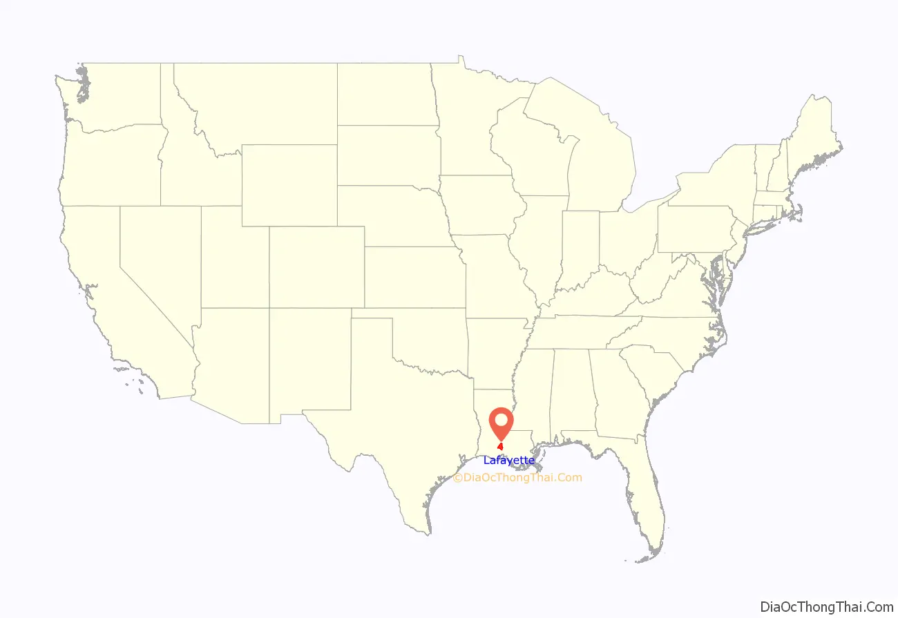
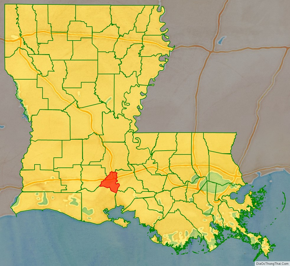
Lafayette Parish location map. Where is Lafayette Parish?
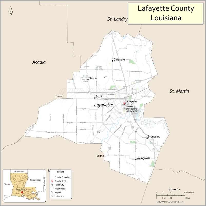
Lafayette Parish Road Map

Geography
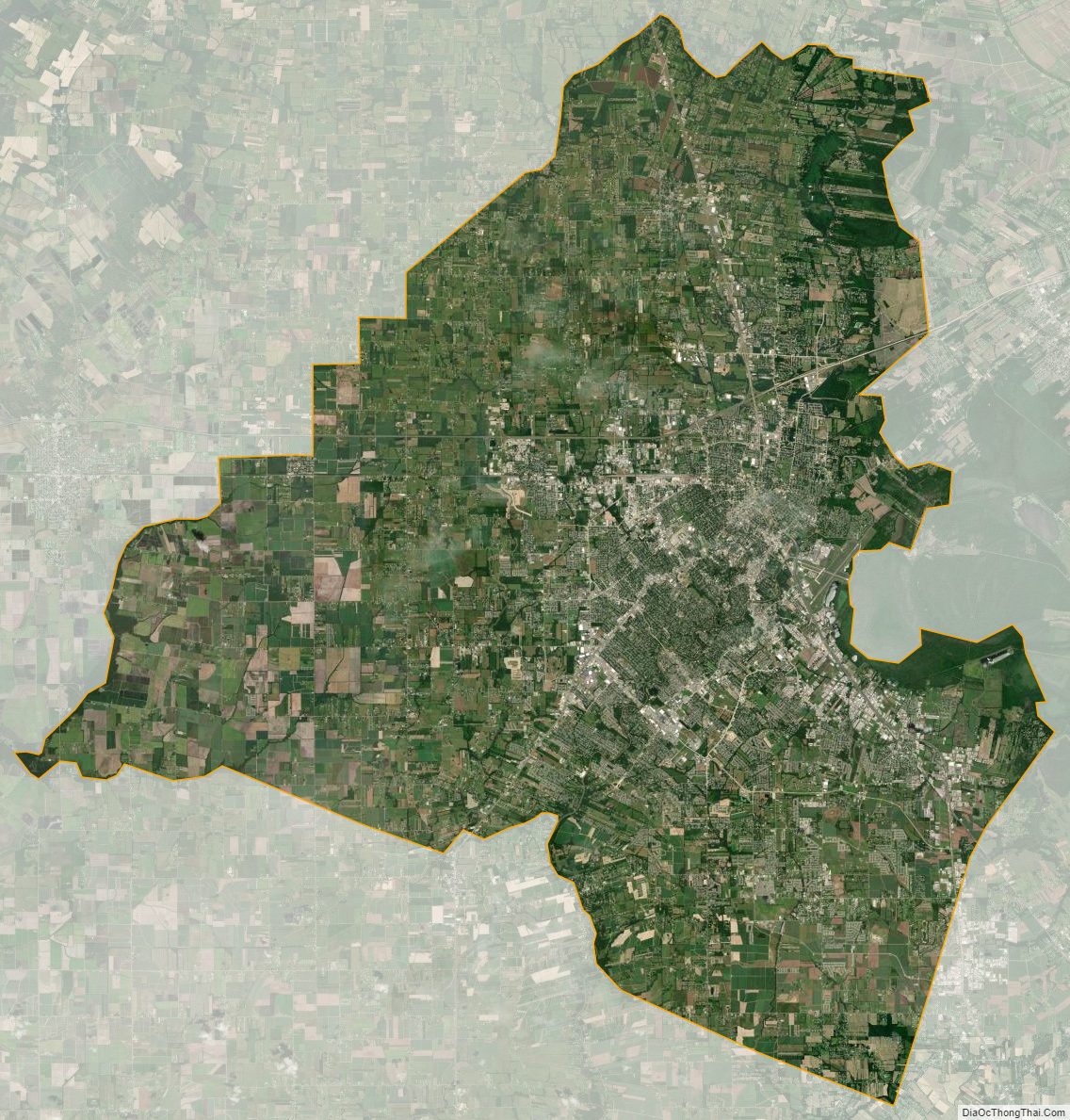
Lafayette Parish is a part of the region of Acadiana in southern Louisiana, along the Gulf Coast. According to the U.S. Census Bureau, the parish has a total area of 269 square miles (700 km), of which 269 square miles (700 km) is land and 0.5 square miles (1.3 km) (0.2%) is water. It is the fifth-smallest parish in Louisiana by land area and third-smallest by total area.
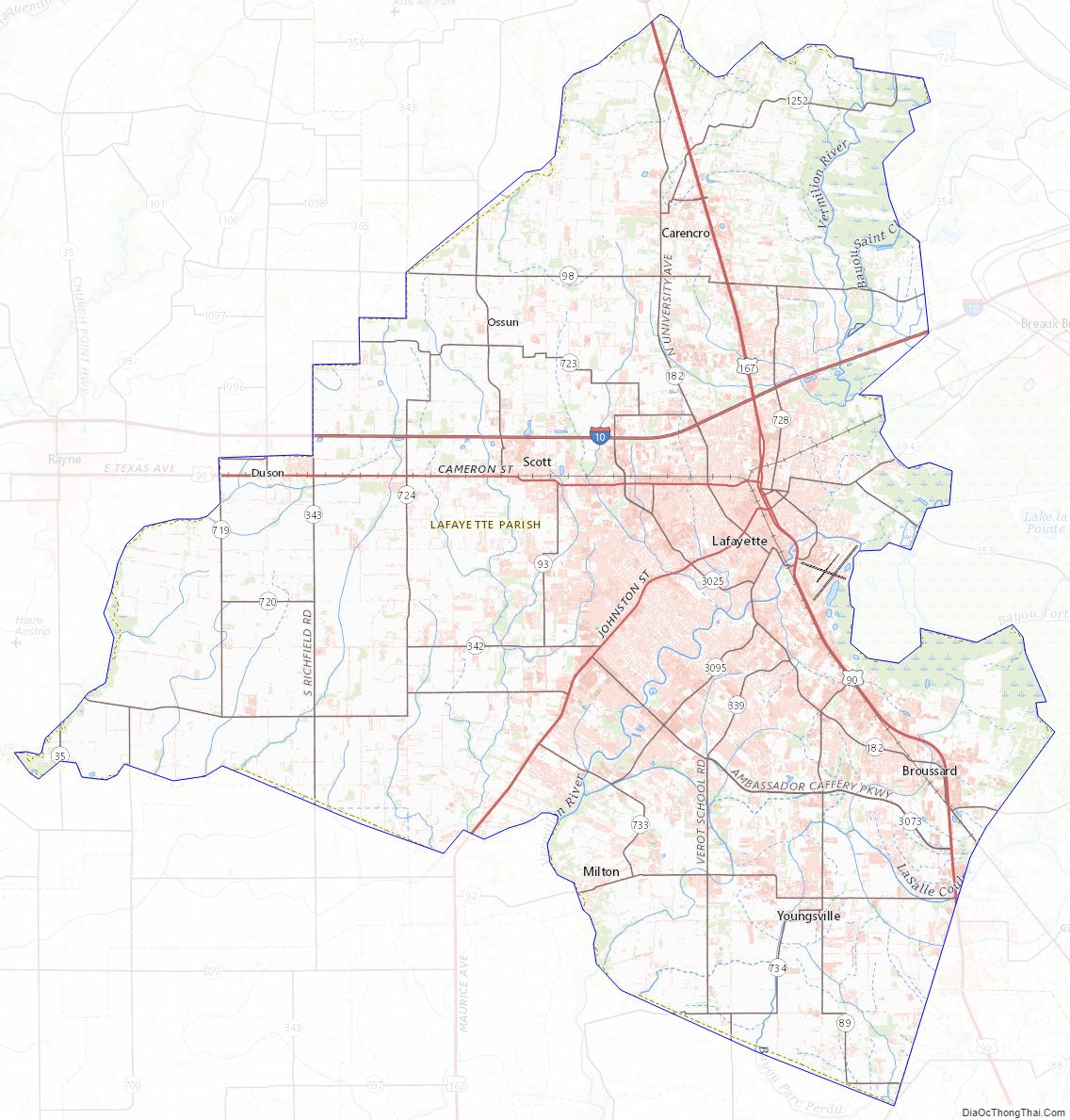
Major highways
- Interstate 10
- Interstate 49
- U.S. Highway 90
- U.S. Highway 167
- Louisiana Highway 89
- Louisiana Highway 89-1
- Louisiana Highway 92
- Louisiana Highway 92-1
- Louisiana Highway 93
- Louisiana Highway 96
- Louisiana Highway 182
- Louisiana Highway 3073
Adjacent parishes
- St. Landry Parish (north)
- St. Martin Parish (east)
- Iberia Parish (southeast)
- Vermilion Parish (south)
- Acadia Parish (west)
National protected area
- Jean Lafitte National Historical Park and Preserve (part, in Lafayette)
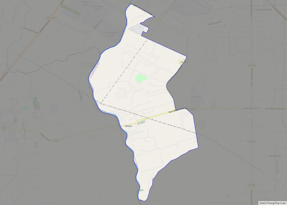
Communities
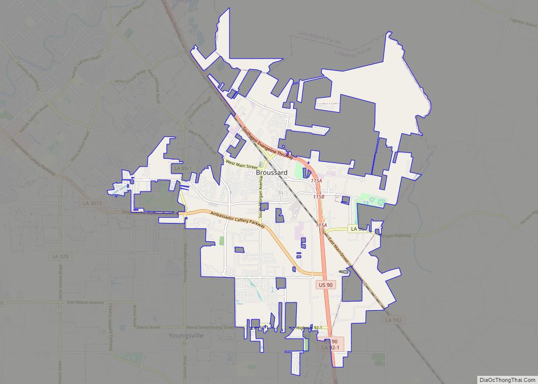
- Broussard
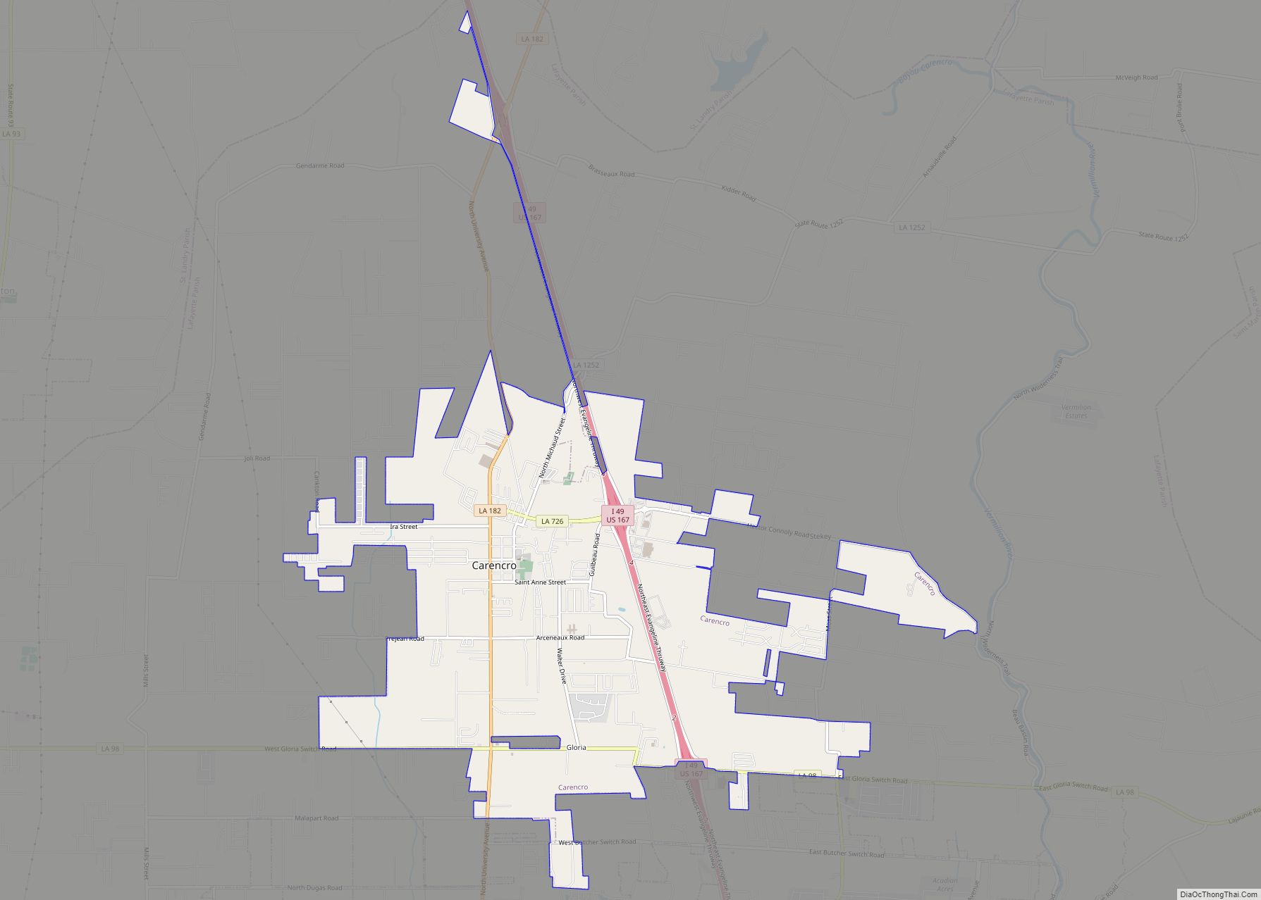
- Carencro
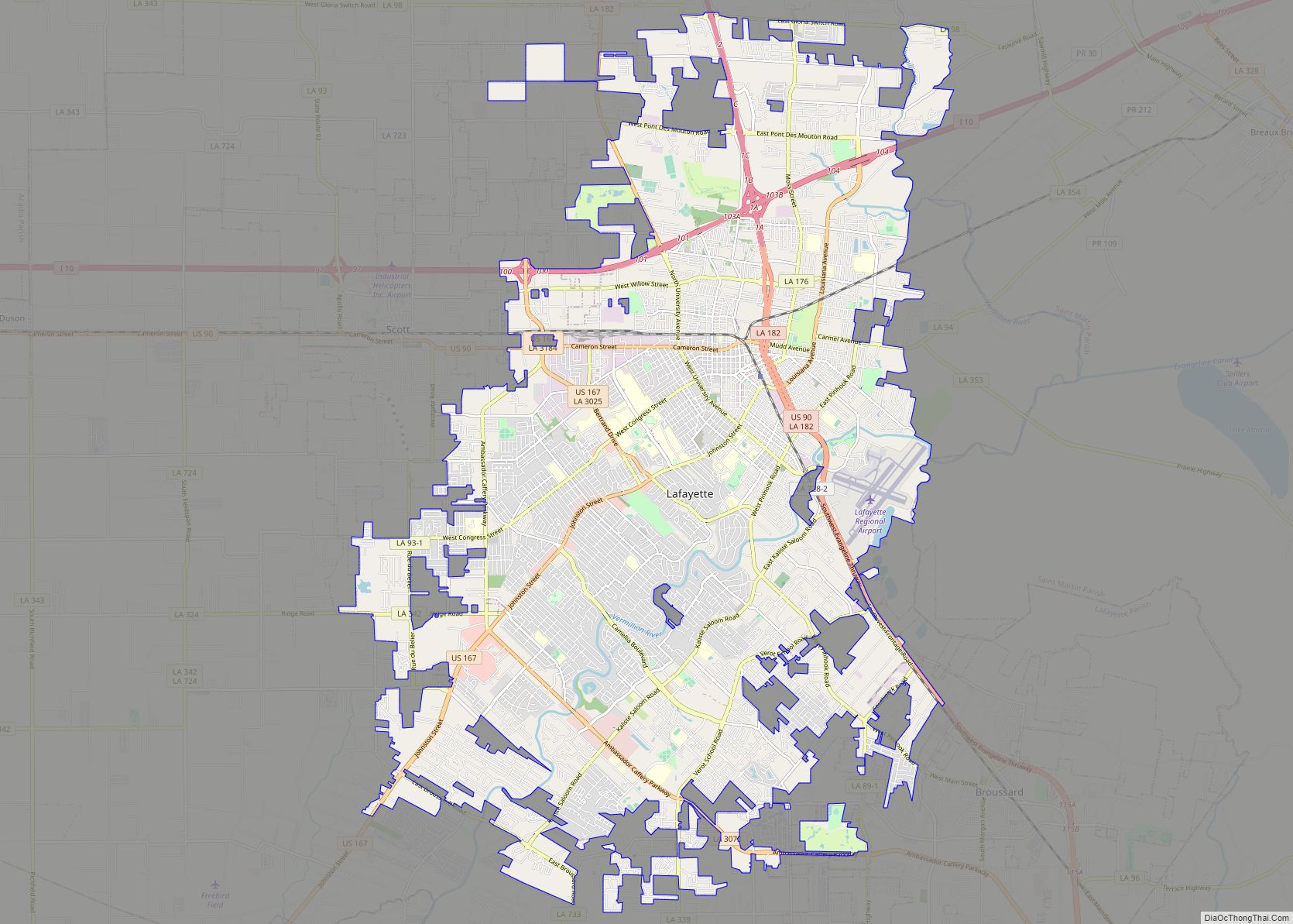
- Lafayette (parish seat and largest municipality)
- Scott
- Youngsville
- Capitan
- Elks
- Gloria
- Judice
- Larabee
- Long Bridge
- Mouton
- Pilette
- Pont Des Mouton
- Ridge
- River Ranch
- Sadou
- Stekey
- Vatican
- Walroy
Lafayette Parish Topographic Map
Lafayette Parish Satellite Map
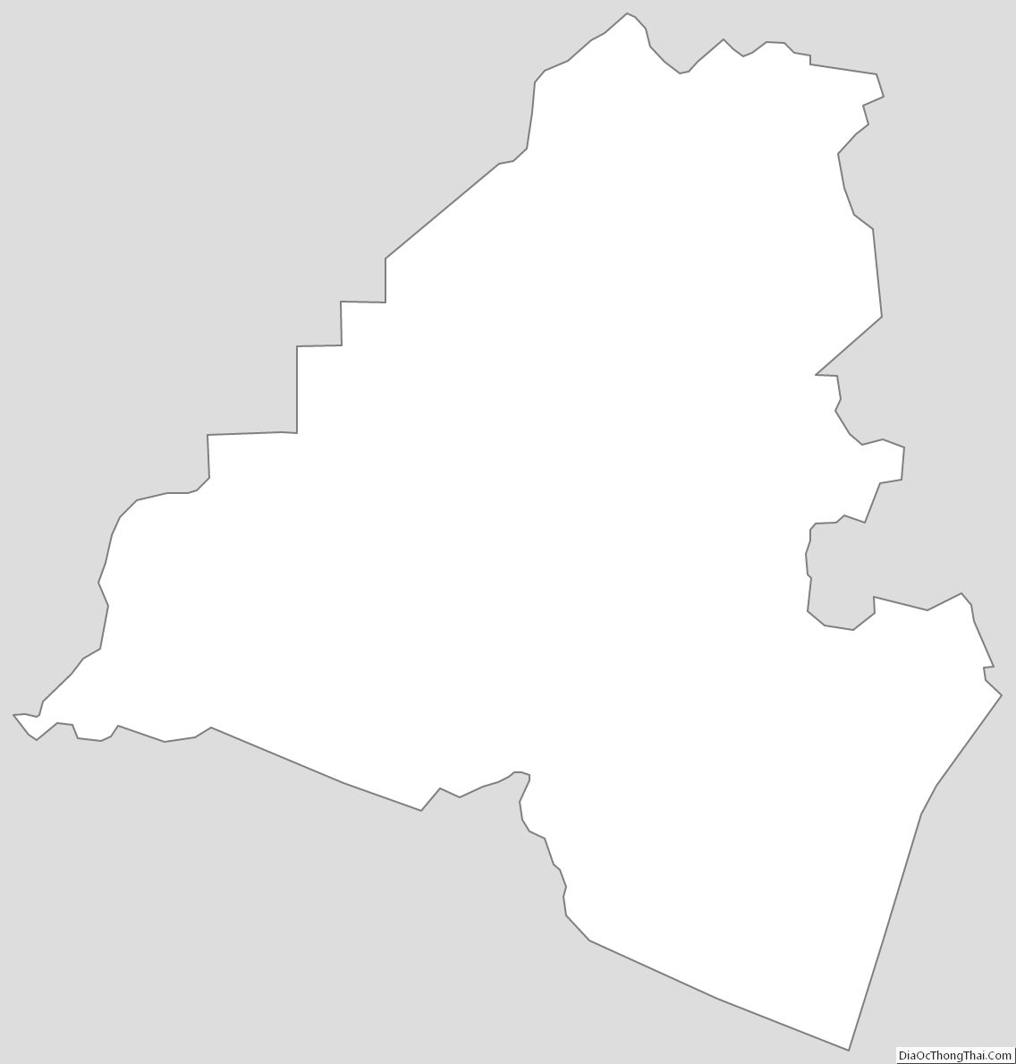
Lafayette Parish Outline Map