Scott is the fourth largest municipality in Lafayette Parish, Louisiana, United States. The population 8,614 as of the 2010 U.S. census, and 8,119 at the 2020 census, up from 7,870 at the 2000 census. Scott is a suburban community of Lafayette and is part of the Lafayette metropolitan statistical area in Acadiana.
| Name: | Scott city |
|---|---|
| LSAD Code: | 25 |
| LSAD Description: | city (suffix) |
| State: | Louisiana |
| County: | Lafayette Parish |
| Elevation: | 36 ft (11 m) |
| Total Area: | 11.73 sq mi (30.39 km²) |
| Land Area: | 11.73 sq mi (30.39 km²) |
| Water Area: | 0.00 sq mi (0.00 km²) |
| Total Population: | 8,119 |
| Population Density: | 691.98/sq mi (267.16/km²) |
| Area code: | 337 |
| FIPS code: | 2268475 |
| Website: | cityofscott.org |
Online Interactive Map
Click on ![]() to view map in "full screen" mode.
to view map in "full screen" mode.
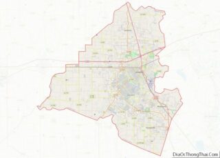
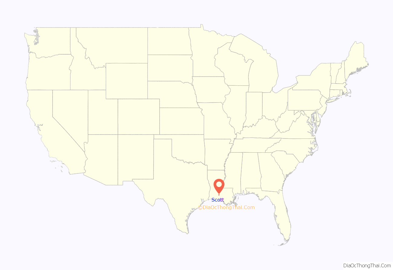
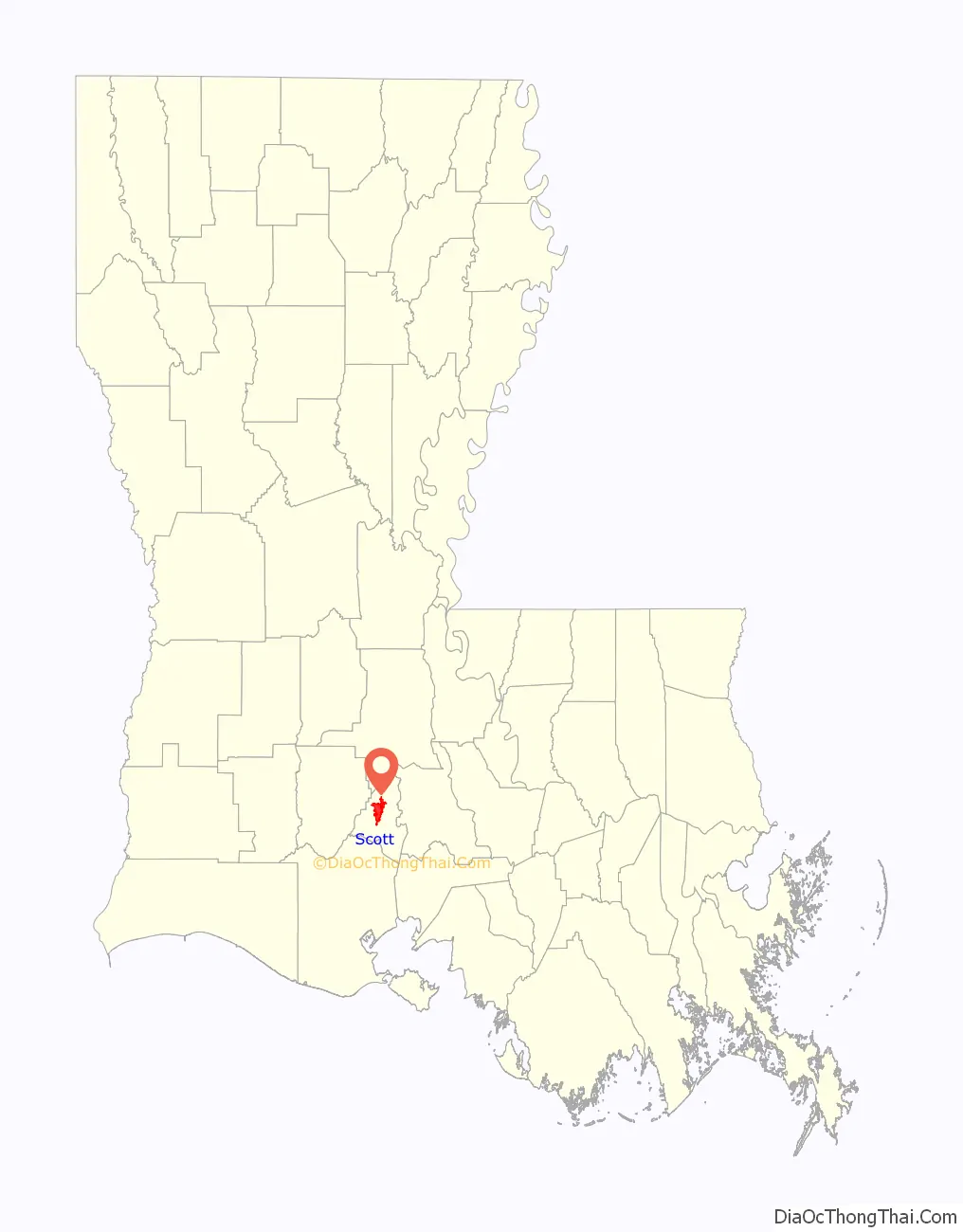
Scott location map. Where is Scott city?
History
In 1902, Gabby Anderson built a western-style saloon to serve as “an exclusive, all-men’s bar and a meeting place for old folks.” His reason for the saloon is because he believed “this is where the West begins.” However, it is believed that the slogan started because Scott was where eastern train fare rates ended and western train, referred to as the “West Line”, fare rates began.
The Union Pacific Railroad, formerly the Southern Pacific Railway, cuts the town in two. The first settler of Scott was Alexander Delhomme, who took land in the northern part of the town. Delhomme owned the first hay-mowing machine, grist mill and cotton gin. By 1880, the train depot was completed and the town became a village. In 1907, the town was incorporated and named after J. B. Scott, who was division superintendent of the Southern Pacific Railroad. The village became a town in 1960, and the town became a city in 1990.
On April 12, 2012, Scott was designated by the Louisiana State Legislature as the “Boudin Capital of the World”, referring to Cajun sausage. This meant that two other Louisiana towns needed to relinquish their titles. Broussard, also in Lafayette Parish, is now known as the “former Boudin Capital of the World” but has adopted the unofficial title of “Intergalactic Boudin Capital of Positive Infinity”, and Jennings, in Jefferson Davis Parish, owns the title of “Boudin Capital of the Universe”. The city of Scott’s claim to the title is substantial, with more boudin purveyors per-capita than any other place in the state and a couple of the more prominent boudin makers to boot, no other city in Louisiana produces more links than Scott.
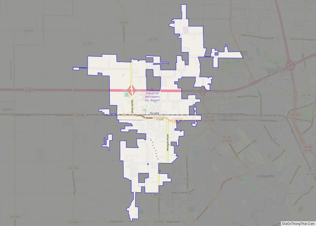
Scott Road Map
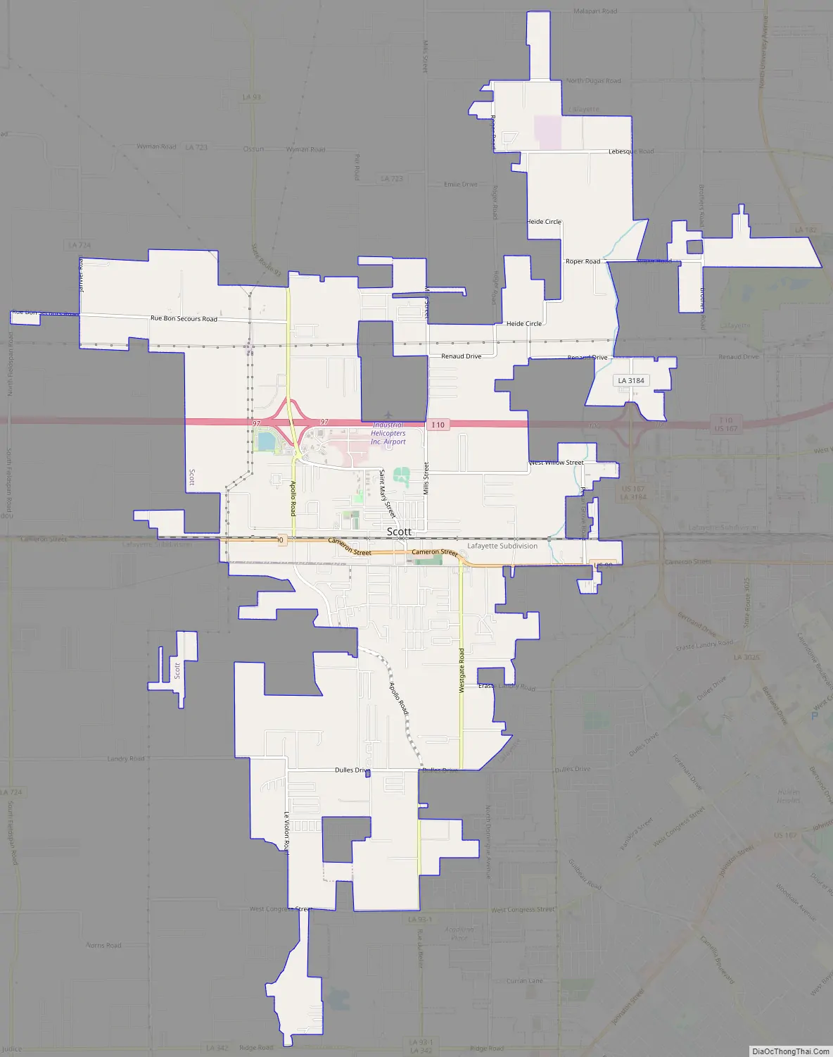
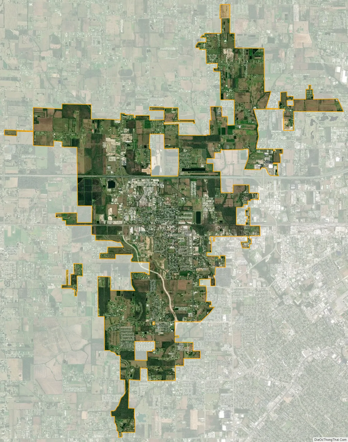
Scott city Satellite Map
Geography
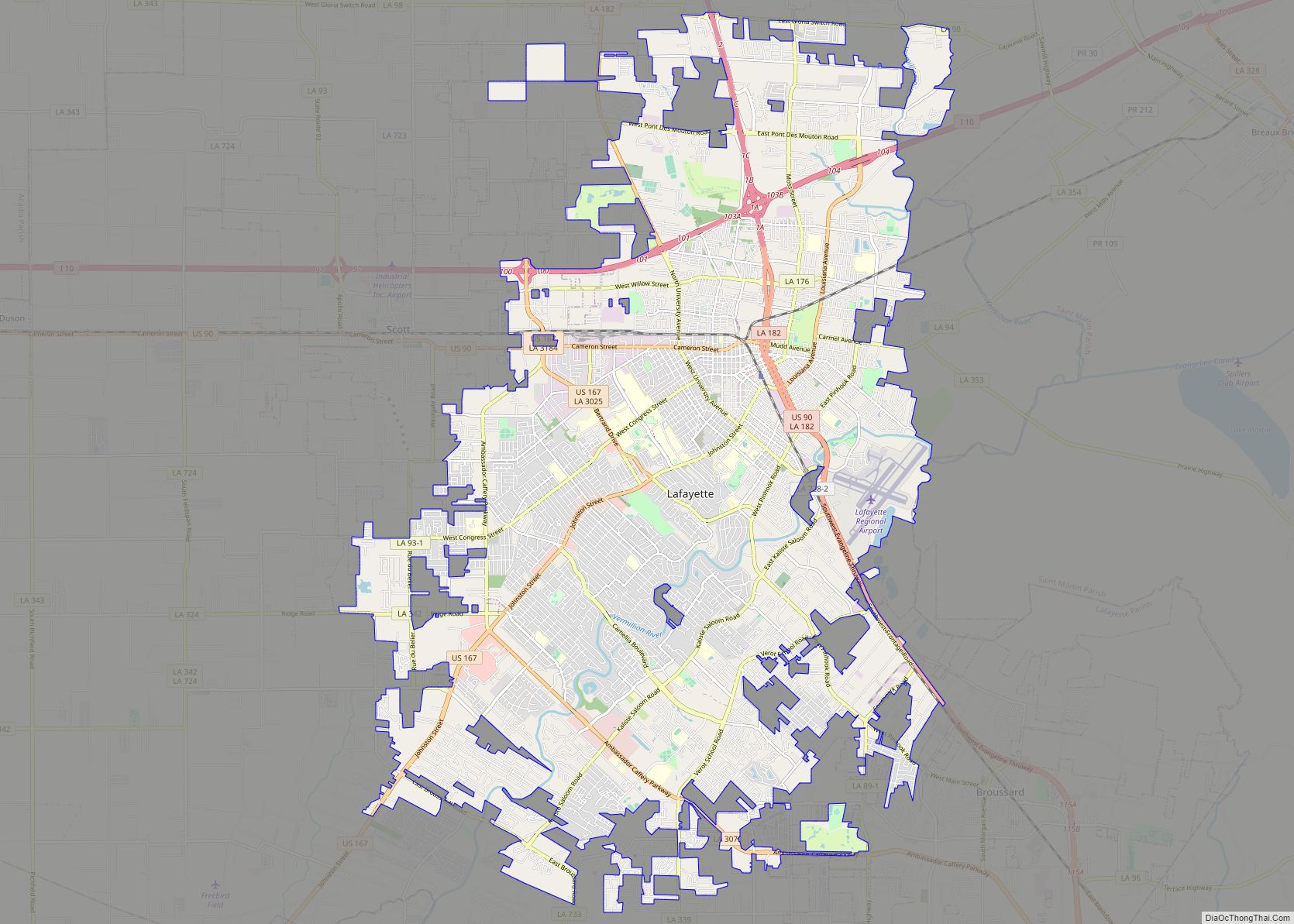
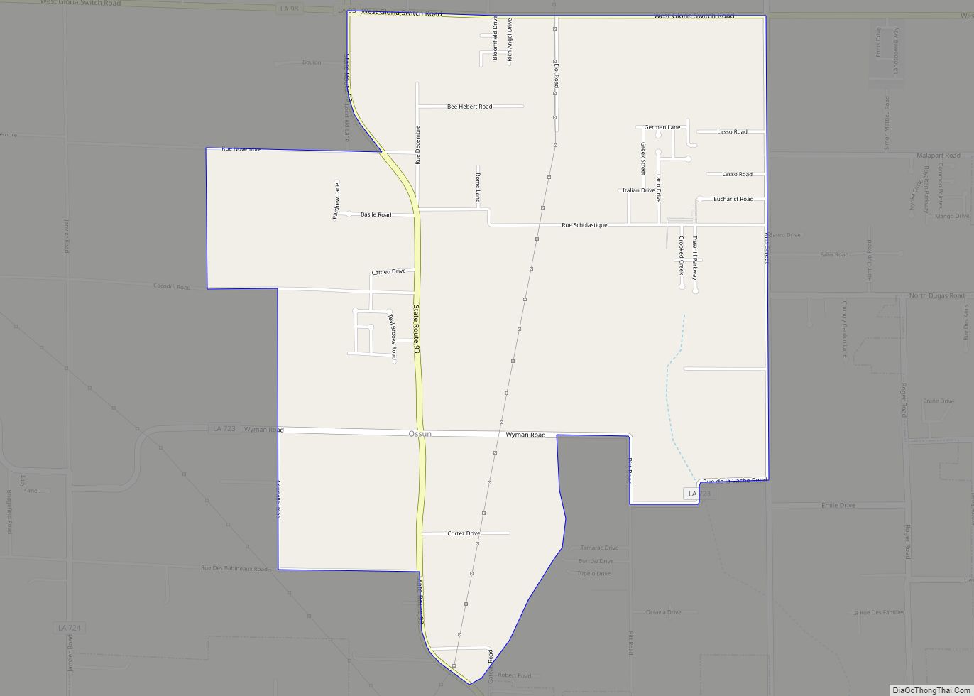
Scott is located in west-central Lafayette Parish at 30°14′17″N 92°5′31″W / 30.23806°N 92.09194°W / 30.23806; -92.09194 (30.237951, -92.091996). It is bordered to the east and south by Lafayette, the parish seat, and to the north by unincorporated Ossun.
U.S. Route 90 passes through the center of Scott as Cameron Street, leading east 5 miles (8 km) to the center of Lafayette and west the same distance to Duson. Interstate 10 passes through the north side of Scott, with access from Exit 97 (Louisiana Highway 93). I-10 leads east 58 miles (93 km) to Baton Rouge, the state capital, and west 67 miles (108 km) to Lake Charles. LA 93 also passes through the center of Scott, leading north and east 23 miles (37 km) to Arnaudville and south 6 miles (10 km) to the southern part of Lafayette.
According to the United States Census Bureau, the city of Scott has a total area of 11.6 square miles (30.1 km), all of it recorded as land.
See also
Map of Louisiana State and its subdivision:- Acadia
- Allen
- Ascension
- Assumption
- Avoyelles
- Beauregard
- Bienville
- Bossier
- Caddo
- Calcasieu
- Caldwell
- Cameron
- Catahoula
- Claiborne
- Concordia
- De Soto
- East Baton Rouge
- East Carroll
- East Feliciana
- Evangeline
- Franklin
- Grant
- Iberia
- Iberville
- Jackson
- Jefferson
- Jefferson Davis
- La Salle
- Lafayette
- Lafourche
- Lincoln
- Livingston
- Madison
- Morehouse
- Natchitoches
- Orleans
- Ouachita
- Plaquemines
- Pointe Coupee
- Rapides
- Red River
- Richland
- Sabine
- Saint Bernard
- Saint Charles
- Saint Helena
- Saint James
- Saint John the Baptist
- Saint Landry
- Saint Martin
- Saint Mary
- Saint Tammany
- Tangipahoa
- Tensas
- Terrebonne
- Union
- Vermilion
- Vernon
- Washington
- Webster
- West Baton Rouge
- West Carroll
- West Feliciana
- Winn
- Alabama
- Alaska
- Arizona
- Arkansas
- California
- Colorado
- Connecticut
- Delaware
- District of Columbia
- Florida
- Georgia
- Hawaii
- Idaho
- Illinois
- Indiana
- Iowa
- Kansas
- Kentucky
- Louisiana
- Maine
- Maryland
- Massachusetts
- Michigan
- Minnesota
- Mississippi
- Missouri
- Montana
- Nebraska
- Nevada
- New Hampshire
- New Jersey
- New Mexico
- New York
- North Carolina
- North Dakota
- Ohio
- Oklahoma
- Oregon
- Pennsylvania
- Rhode Island
- South Carolina
- South Dakota
- Tennessee
- Texas
- Utah
- Vermont
- Virginia
- Washington
- West Virginia
- Wisconsin
- Wyoming