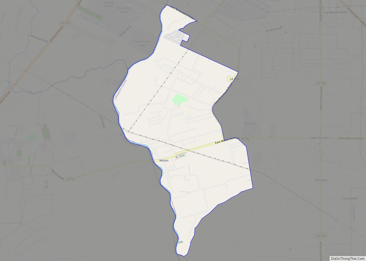
Milton /ˈmɪltən/ is an unincorporated community and census-designated place in Lafayette Parish, Louisiana, United States. At the 2010 U.S. census it had a population of 3,030; at the 2019 American Community Survey, it had an estimated population of 2,299. Milton is part of the Lafayette metropolitan statistical area.
| Name: | Milton CDP |
|---|---|
| LSAD Code: | 57 |
| LSAD Description: | CDP (suffix) |
| State: | Louisiana |
| County: | Lafayette Parish |
| Elevation: | 20 ft (6 m) |
| Total Area: | 4.68 sq mi (12.12 km²) |
| Land Area: | 4.65 sq mi (12.03 km²) |
| Water Area: | 0.03 sq mi (0.08 km²) |
| Total Population: | 2,590 |
| Population Density: | 557.47/sq mi (215.22/km²) |
| Area code: | 337 |
| FIPS code: | 2250815 |
Online Interactive Map
Click on ![]() to view map in "full screen" mode.
to view map in "full screen" mode.
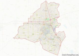
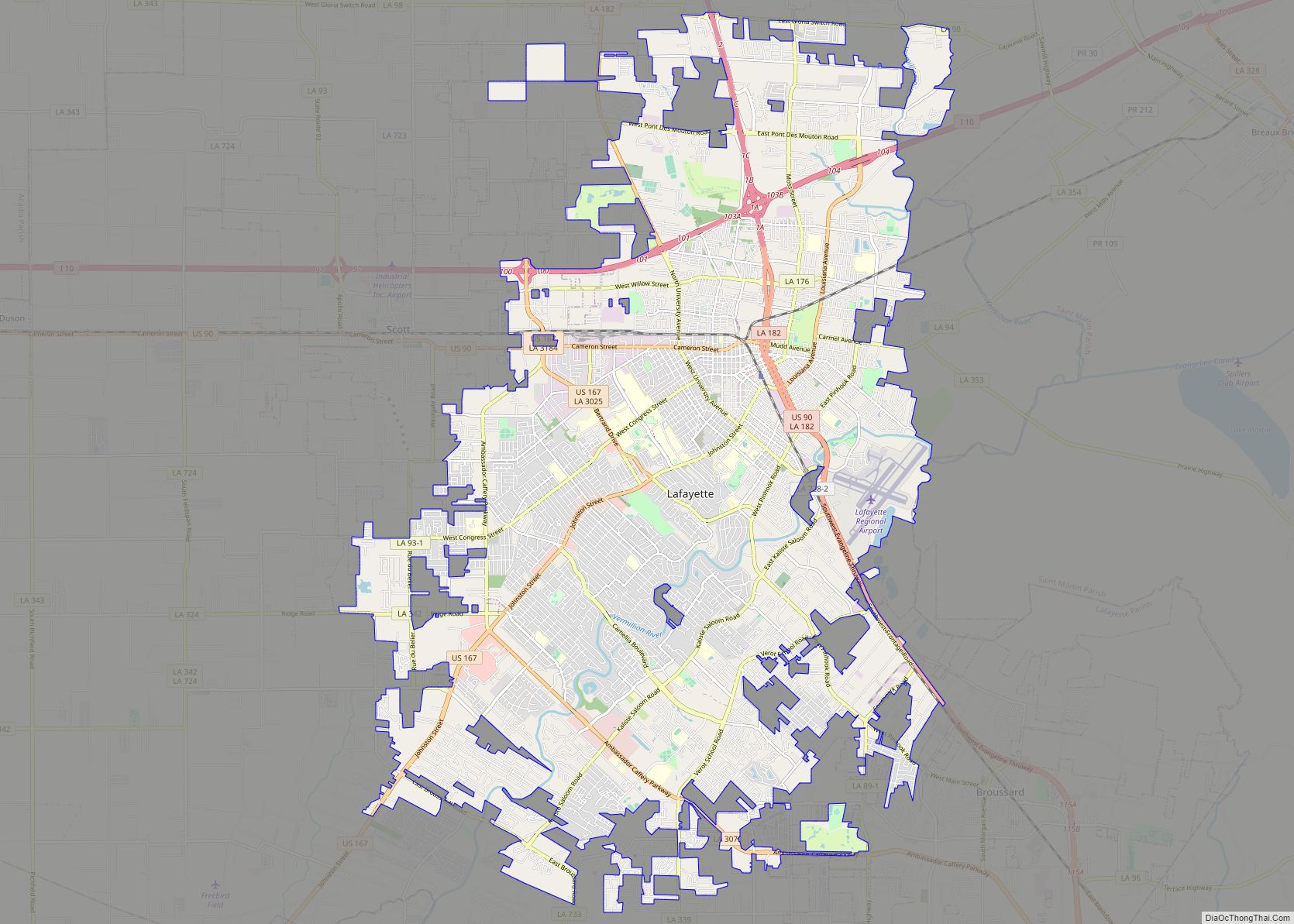
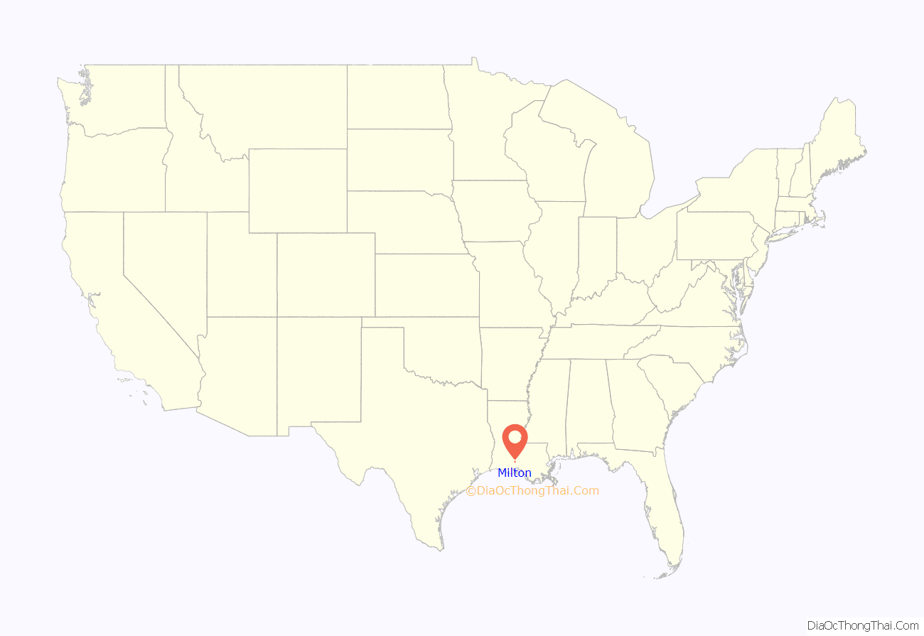
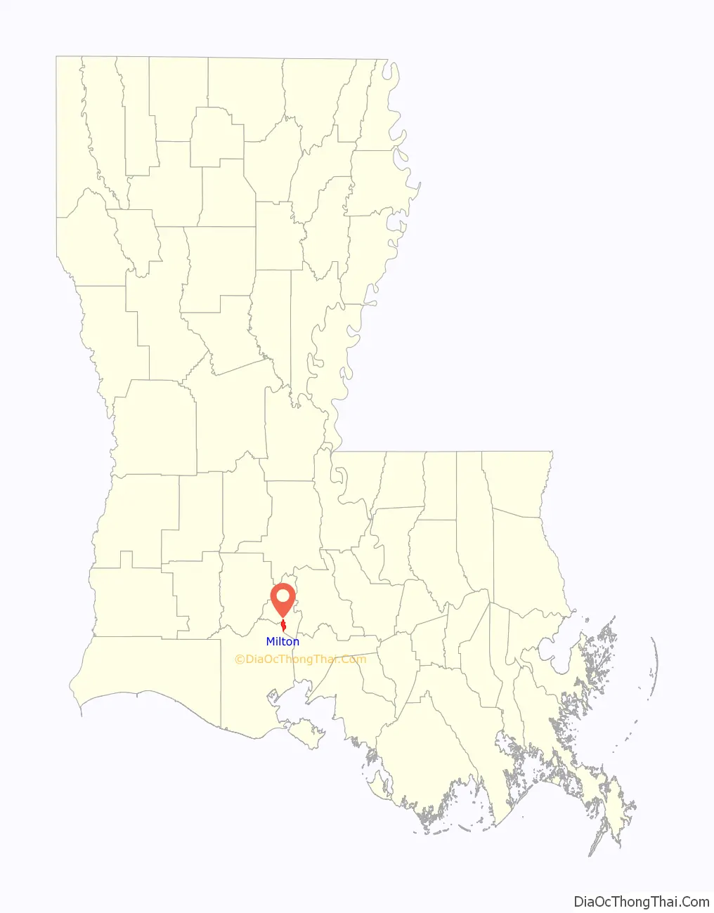
Milton location map. Where is Milton CDP?
History
It is unknown when the area of Milton was first settled. Old land claims show that much of the community is on land once owned by Bernard, son of Ashnoya, a leader of the Atakapa people. The area served as a river crossing and a trade center for the farms and cattle ranches that lined both sides of the Vermilion River.
The earliest settlers were Acadian families. Early landowners in the area included Francois Broussard, son of Joseph Broussard dit Beausoleil; Jean Bernard; Pierre Vincent; Michel Meaux; Jean-Baptiste Trahan; and Joseph Boudreaux. Jean-Jacques Denais operated a ferry at the townsite in the early 19th century. Désiré Broussard and Jean-Baptiste Montet settled there by 1823. Anselm Thibodeaux, who settled on land on the east bank of the river, cultivated it for at least 20 years prior to the Louisiana Purchase in 1803. Anselm’s Coulee, named for him, runs through the area.
Beausoleil Broussard’s descendants Eloi Broussard and Darmas Broussard owned and operated a store during the steamboat era. They built a two-story home on the east side of the river in the late 1880s. The home stands at a bridge there today. A ferry operated at the Milton site probably as early as 1820. At the December 14, 1897, meeting of the Vermilion Parish Police Jury, it was suggested that a bridge be built across the river there. That bridge was dedicated on February 2, 1902. The present bridge was built in 1948.
In 1885, Milton R. Cushman came to the area to practice medicine. Dr. Cushman petitioned for a post office at the Desire Broussard place and became the first postmaster there. The mail was left at his medical office. When postal officials asked for a name for the locale, Dr. Cushman’s wife decided upon Milton—the name of her husband and of her son, Milton S. Cushman, who was born in 1890.
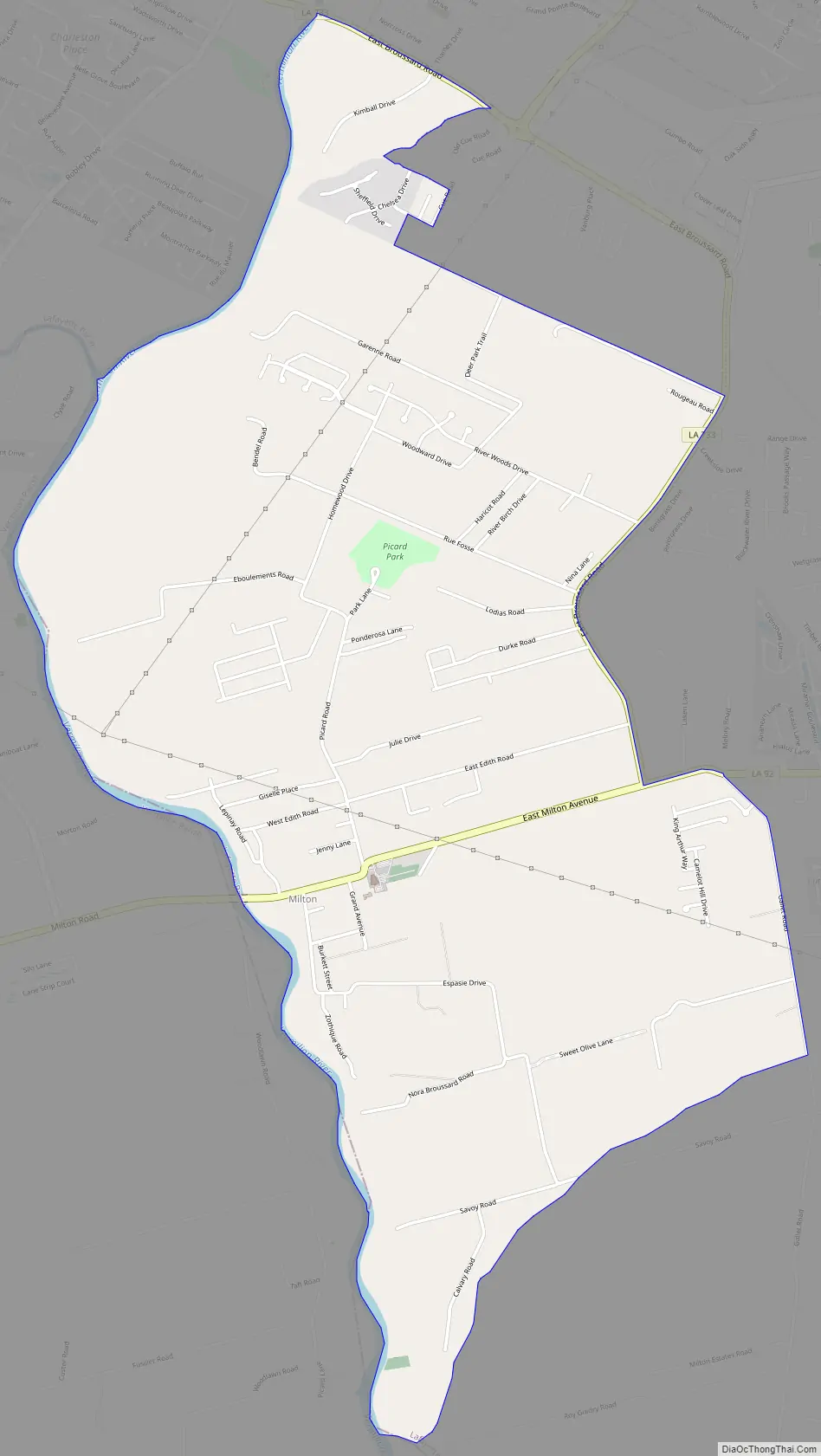
Milton Road Map
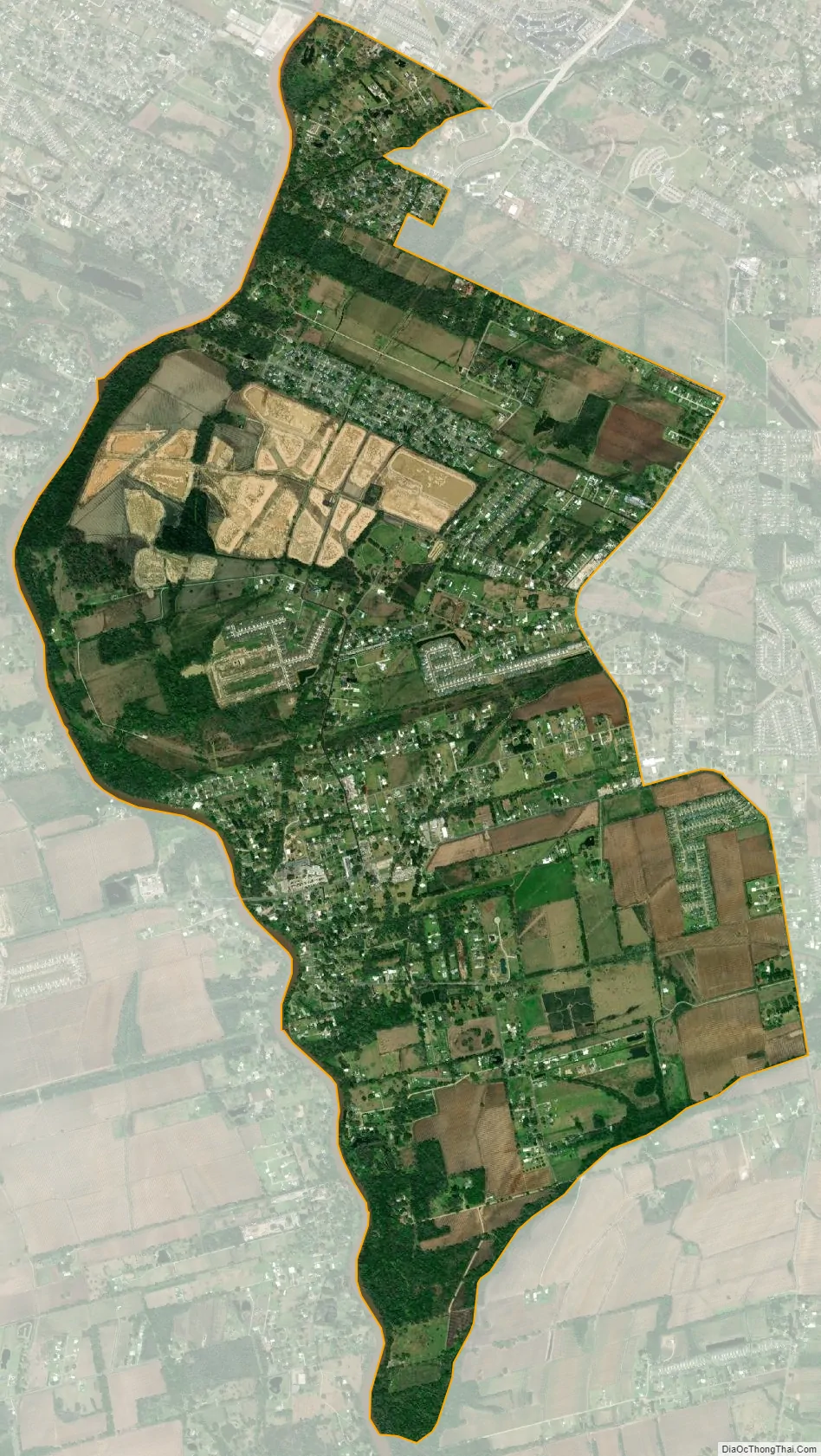
Milton city Satellite Map
Geography
The unincorporated community of Milton is in southern Lafayette Parish, on the east side of the Vermilion River, which forms the Vermilion Parish line. It is approximately 11 miles (18 km) south of Lafayette the parish seat, and about 12 miles (19 km) north of Abbeville, the parish seat of Vermilion.
According to the U.S. Census Bureau, the Milton CDP has a total area of 4.7 square miles (12.1 km), of which 0.03 square miles (0.08 km), or 0.69%, are water.
See also
Map of Louisiana State and its subdivision:- Acadia
- Allen
- Ascension
- Assumption
- Avoyelles
- Beauregard
- Bienville
- Bossier
- Caddo
- Calcasieu
- Caldwell
- Cameron
- Catahoula
- Claiborne
- Concordia
- De Soto
- East Baton Rouge
- East Carroll
- East Feliciana
- Evangeline
- Franklin
- Grant
- Iberia
- Iberville
- Jackson
- Jefferson
- Jefferson Davis
- La Salle
- Lafayette
- Lafourche
- Lincoln
- Livingston
- Madison
- Morehouse
- Natchitoches
- Orleans
- Ouachita
- Plaquemines
- Pointe Coupee
- Rapides
- Red River
- Richland
- Sabine
- Saint Bernard
- Saint Charles
- Saint Helena
- Saint James
- Saint John the Baptist
- Saint Landry
- Saint Martin
- Saint Mary
- Saint Tammany
- Tangipahoa
- Tensas
- Terrebonne
- Union
- Vermilion
- Vernon
- Washington
- Webster
- West Baton Rouge
- West Carroll
- West Feliciana
- Winn
- Alabama
- Alaska
- Arizona
- Arkansas
- California
- Colorado
- Connecticut
- Delaware
- District of Columbia
- Florida
- Georgia
- Hawaii
- Idaho
- Illinois
- Indiana
- Iowa
- Kansas
- Kentucky
- Louisiana
- Maine
- Maryland
- Massachusetts
- Michigan
- Minnesota
- Mississippi
- Missouri
- Montana
- Nebraska
- Nevada
- New Hampshire
- New Jersey
- New Mexico
- New York
- North Carolina
- North Dakota
- Ohio
- Oklahoma
- Oregon
- Pennsylvania
- Rhode Island
- South Carolina
- South Dakota
- Tennessee
- Texas
- Utah
- Vermont
- Virginia
- Washington
- West Virginia
- Wisconsin
- Wyoming