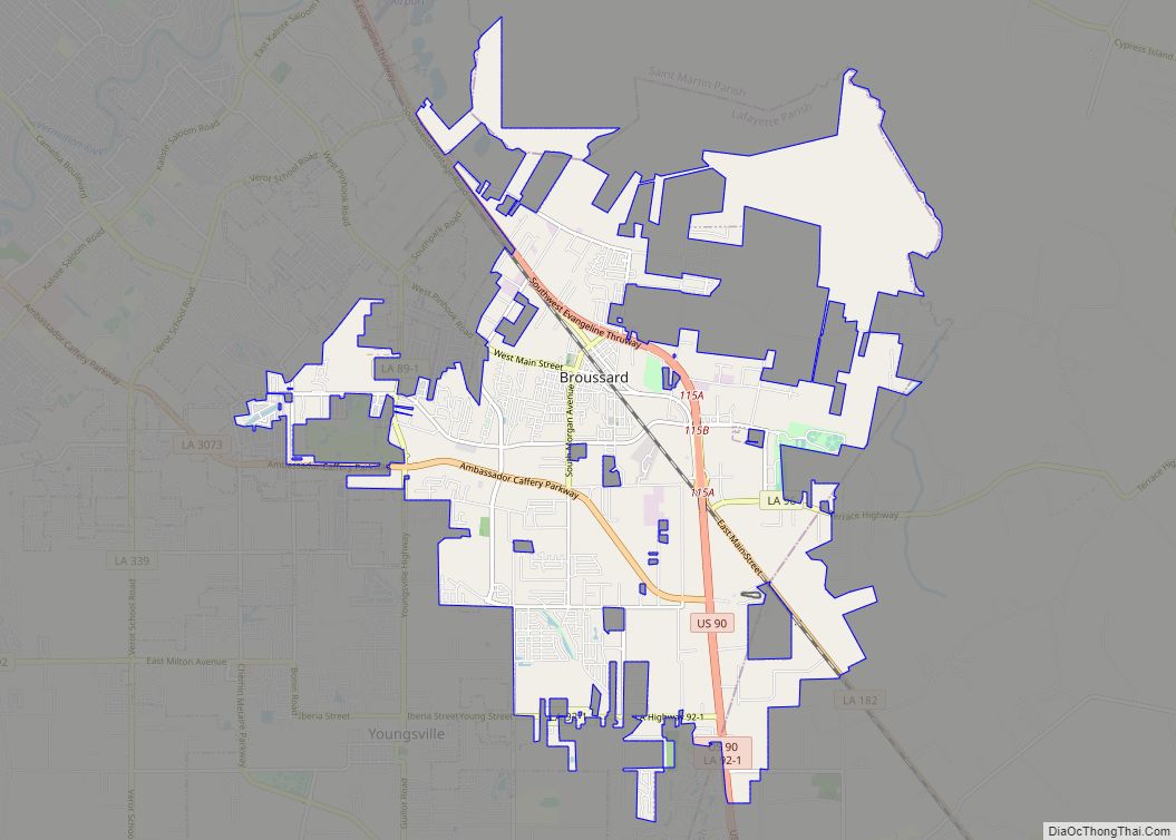
Broussard is a city in Lafayette and St. Martin parishes in the U.S. state of Louisiana. The population was 8,197 at the 2010 U.S. census, and 13,417 at the 2020 United States census. Broussard is part of the Lafayette metropolitan statistical area.
| Name: | Broussard city |
|---|---|
| LSAD Code: | 25 |
| LSAD Description: | city (suffix) |
| State: | Louisiana |
| County: | Lafayette Parish, St. Martin Parish |
| Incorporated: | 1884 |
| Elevation: | 33 ft (10 m) |
| Total Area: | 18.03 sq mi (46.70 km²) |
| Land Area: | 17.99 sq mi (46.60 km²) |
| Water Area: | 0.04 sq mi (0.10 km²) |
| Total Population: | 13,417 |
| Population Density: | 745.76/sq mi (287.94/km²) |
| Area code: | 337 |
| FIPS code: | 2210075 |
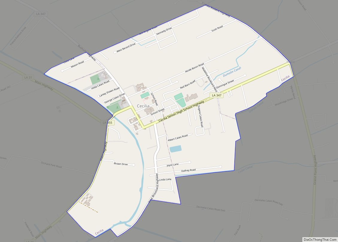
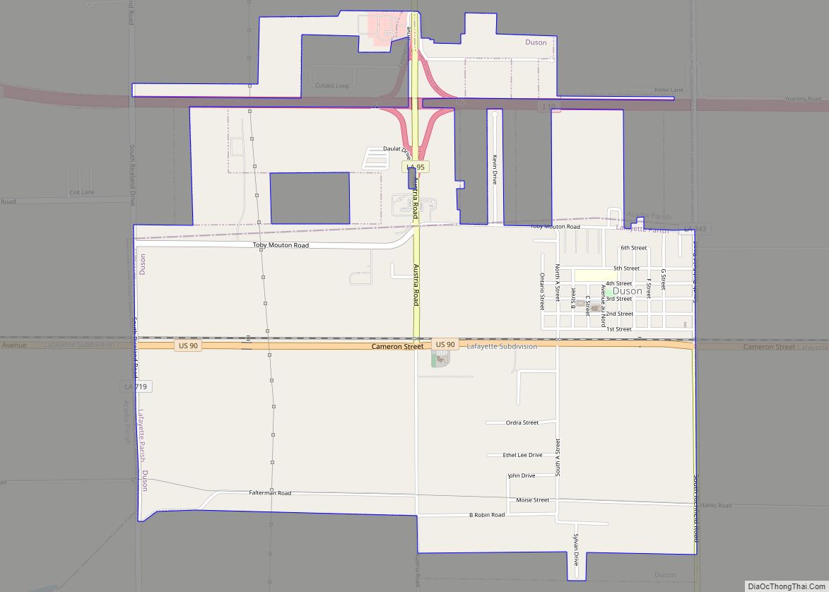
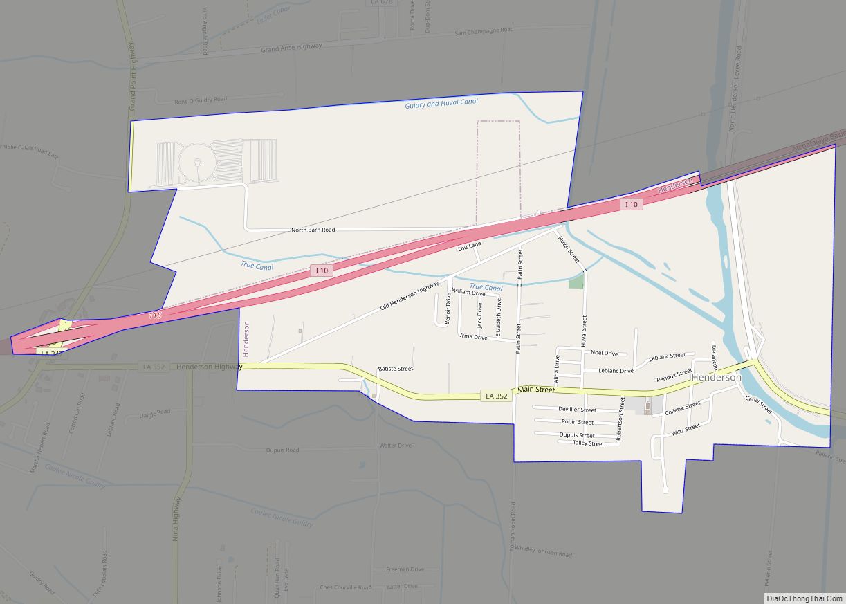
Online Interactive Map
Click on ![]() to view map in "full screen" mode.
to view map in "full screen" mode.
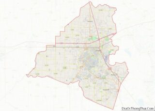
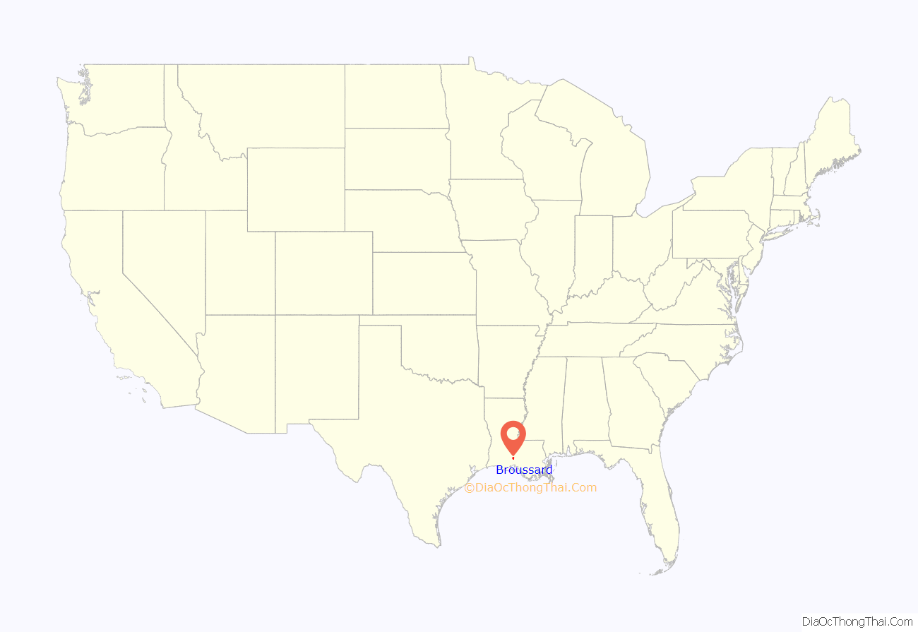
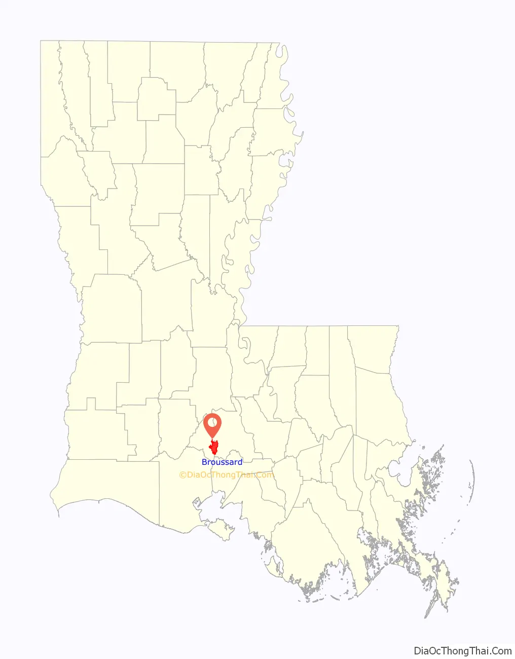
Broussard location map. Where is Broussard city?
History
The community was originally named Côte Gelée (Frozen Hill) because of its hilly ridge area and the severe winter of 1784. Broussard was founded in 1884. It was named after Valsin Broussard, a prominent local merchant, who formed the first vigilante committee when his own store was robbed. He was a direct descendant of Joseph Broussard de Beausoleil, one of the first 200 Acadians to arrive in Louisiana on February 27, 1765, aboard the Santo Domingo.
Primary agricultural resources include sugarcane, soybean and hay production as well as horse and cattle farming. Principal industries consist of oil and gas service companies, food distributors, real estate developments and manufacturing.
Broussard has gone from a horse and buggy community, with large sugarcane plantation homes, to a current day industrial community with over 300 businesses. It was designated a city in November 2002.
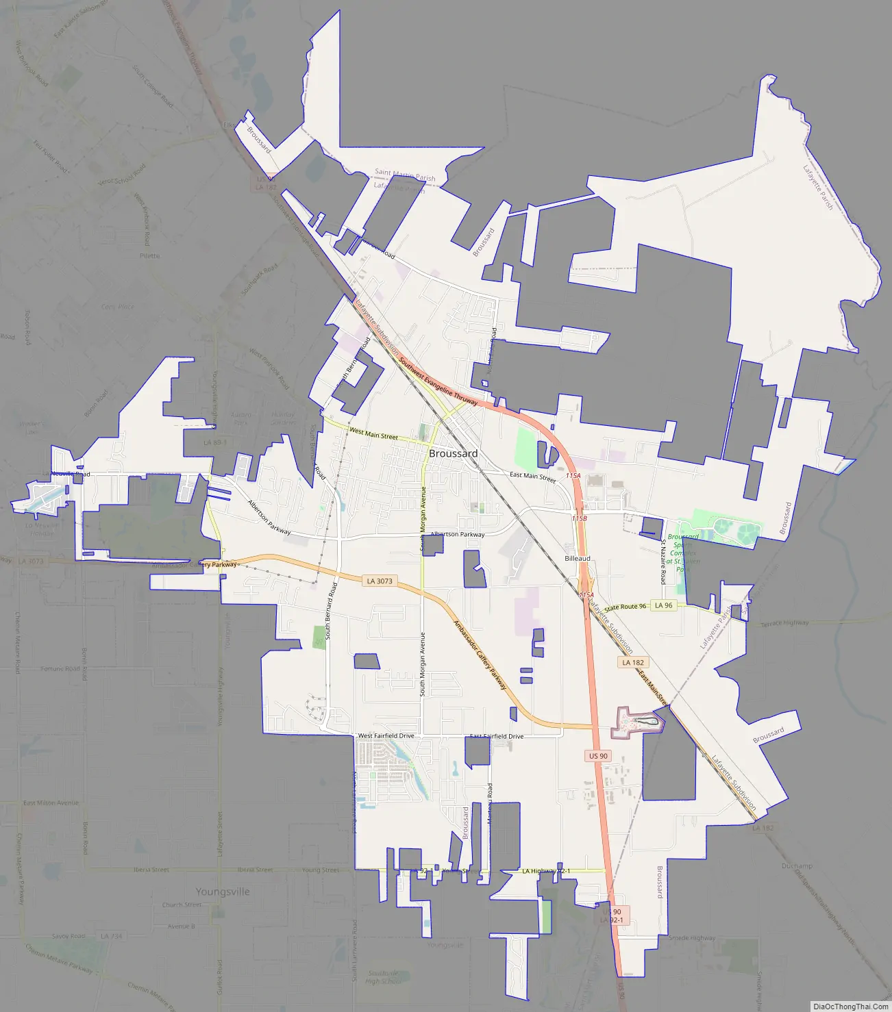
Broussard Road Map
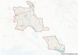
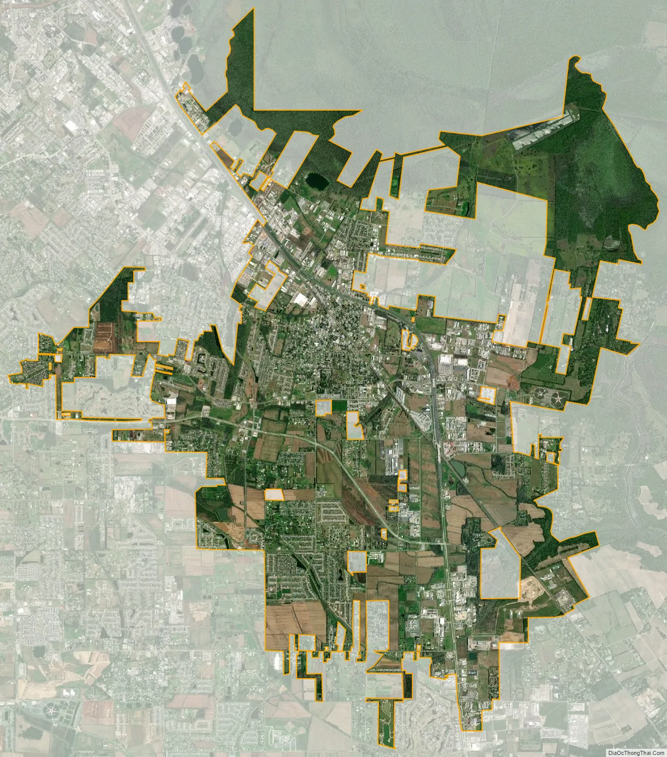
Broussard city Satellite Map
Geography
Broussard is located at 30°8′32″N 91°57′49″W / 30.14222°N 91.96361°W / 30.14222; -91.96361 (30.142329, -91.963644), in the southern Louisiana region of Acadiana. Most of the city limits are located in Lafayette Parish with a small eastern portion of the city being located in St. Martin Parish.
The city of St. Martinville, the parish seat of St. Martin Parish is located about 10 miles (16 km) east of Broussard in which Louisiana Highway 96 passes through both communities. Louisiana Highway 182 and U.S. Route 90 also pass through the city with Lafayette, the parish seat of Lafayette Parish, being located northwest (7 miles (11 km)) and New Iberia, the parish seat of Iberia Parish, located southeast (14 miles (23 km)).
According to the United States Census Bureau, the town has a total area of 11.4 square miles (29.6 km), of which 11.4 square miles (29.5 km) is land and 0.04 square mile (0.1 km) (0.18%) is water.
See also
Map of Louisiana State and its subdivision:- Acadia
- Allen
- Ascension
- Assumption
- Avoyelles
- Beauregard
- Bienville
- Bossier
- Caddo
- Calcasieu
- Caldwell
- Cameron
- Catahoula
- Claiborne
- Concordia
- De Soto
- East Baton Rouge
- East Carroll
- East Feliciana
- Evangeline
- Franklin
- Grant
- Iberia
- Iberville
- Jackson
- Jefferson
- Jefferson Davis
- La Salle
- Lafayette
- Lafourche
- Lincoln
- Livingston
- Madison
- Morehouse
- Natchitoches
- Orleans
- Ouachita
- Plaquemines
- Pointe Coupee
- Rapides
- Red River
- Richland
- Sabine
- Saint Bernard
- Saint Charles
- Saint Helena
- Saint James
- Saint John the Baptist
- Saint Landry
- Saint Martin
- Saint Mary
- Saint Tammany
- Tangipahoa
- Tensas
- Terrebonne
- Union
- Vermilion
- Vernon
- Washington
- Webster
- West Baton Rouge
- West Carroll
- West Feliciana
- Winn
- Alabama
- Alaska
- Arizona
- Arkansas
- California
- Colorado
- Connecticut
- Delaware
- District of Columbia
- Florida
- Georgia
- Hawaii
- Idaho
- Illinois
- Indiana
- Iowa
- Kansas
- Kentucky
- Louisiana
- Maine
- Maryland
- Massachusetts
- Michigan
- Minnesota
- Mississippi
- Missouri
- Montana
- Nebraska
- Nevada
- New Hampshire
- New Jersey
- New Mexico
- New York
- North Carolina
- North Dakota
- Ohio
- Oklahoma
- Oregon
- Pennsylvania
- Rhode Island
- South Carolina
- South Dakota
- Tennessee
- Texas
- Utah
- Vermont
- Virginia
- Washington
- West Virginia
- Wisconsin
- Wyoming