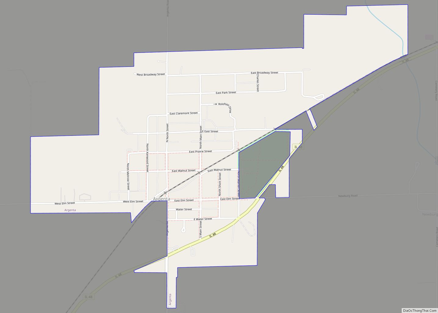
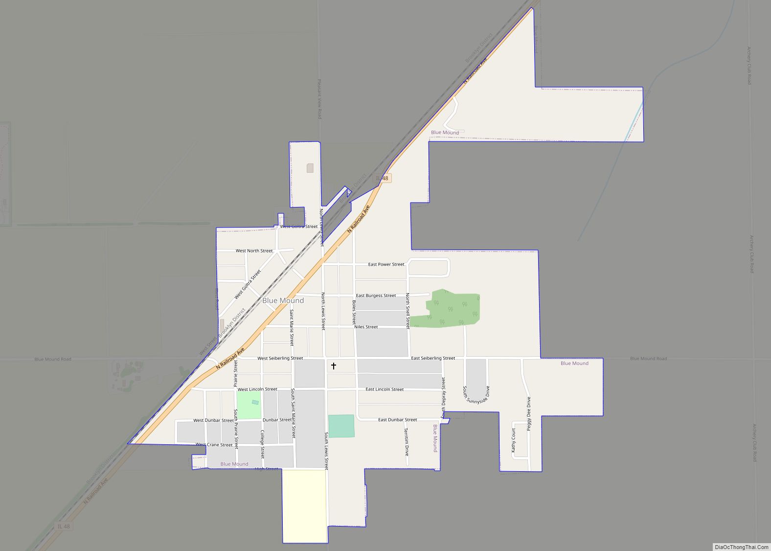
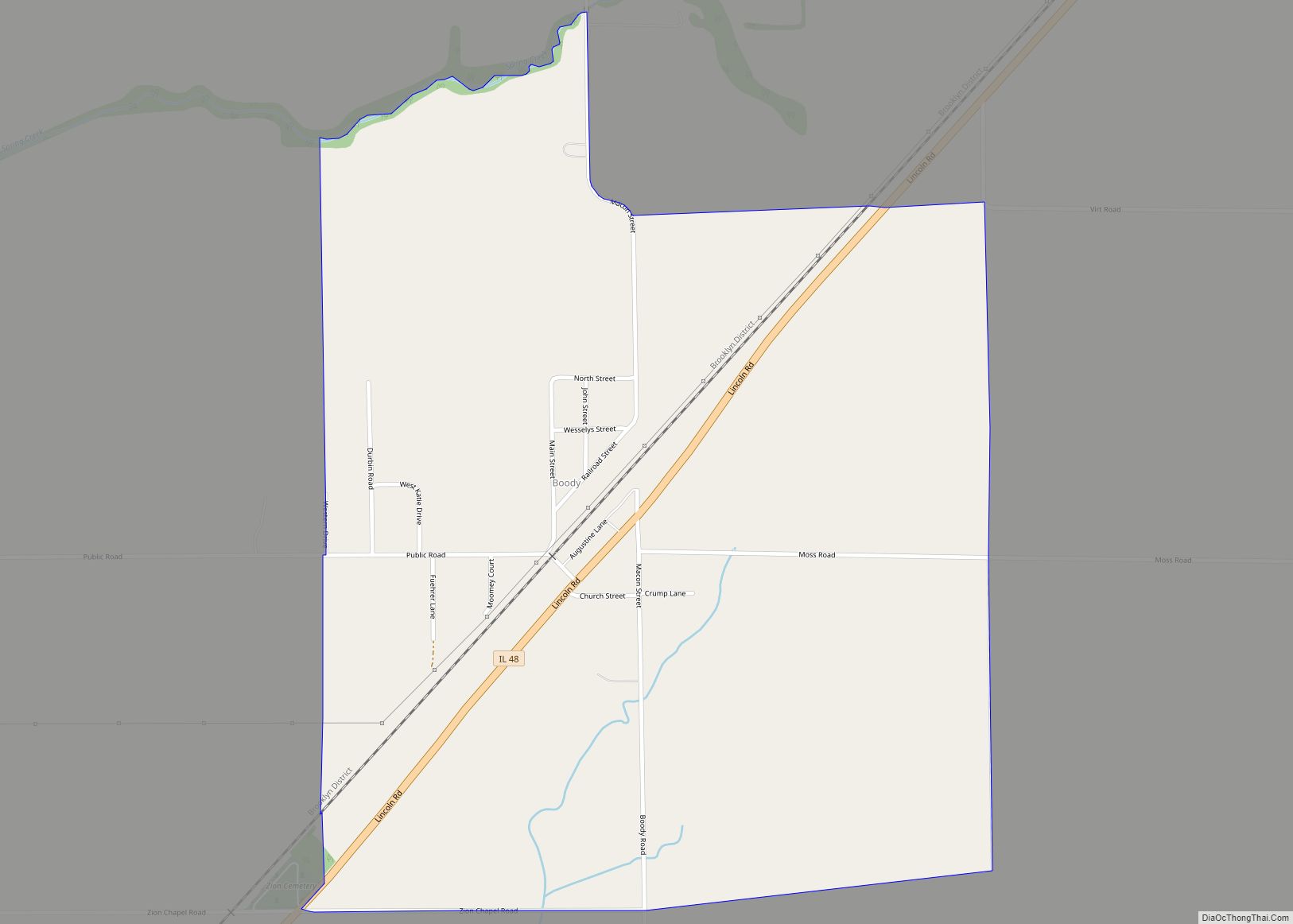
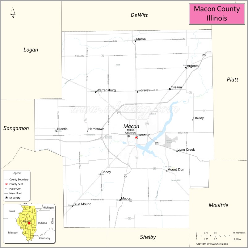
Macon County is a county located in the U.S. state of Illinois. According to the 2010 United States Census, it had a population of 110,768. Its county seat is Decatur.
Macon County comprises the Decatur, IL Metropolitan Statistical Area.
| Name: | Macon County |
|---|---|
| FIPS code: | 17-115 |
| State: | Illinois |
| Founded: | 19 January 1829 |
| Named for: | Nathaniel Macon |
| Seat: | Decatur |
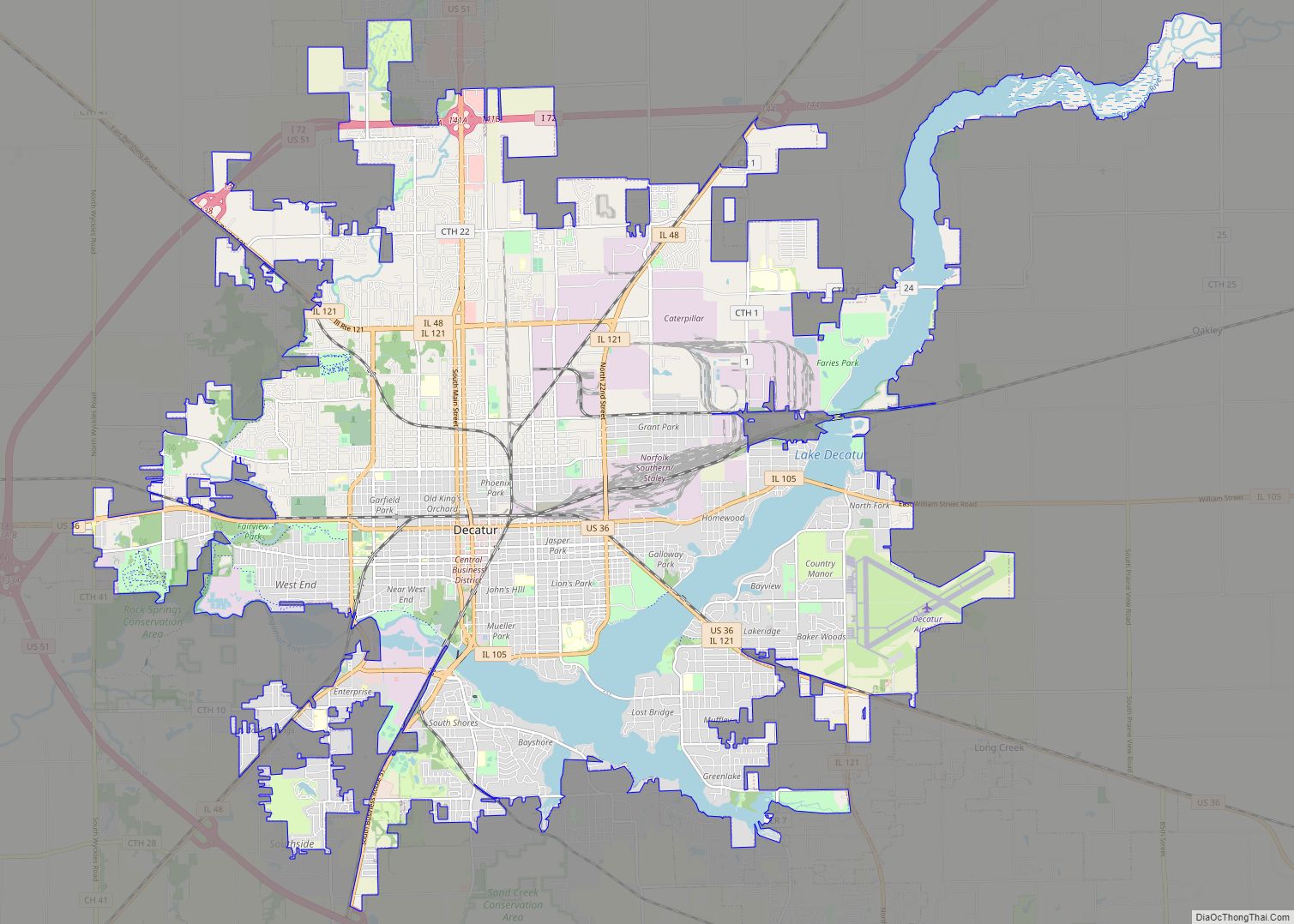
| Largest city: | Decatur |
| Total Area: | 586 sq mi (1,520 km²) |
| Land Area: | 581 sq mi (1,500 km²) |
| Total Population: | 110,768 |
| Population Density: | 190/sq mi (73/km²) |
| Time zone: | UTC−6 (Central) |
| Summer Time Zone (DST): | UTC−5 (CDT) |
| Website: | www.co.macon.il.us |
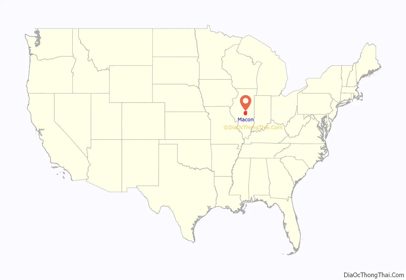
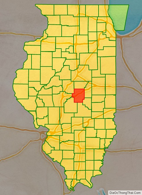
Macon County location map. Where is Macon County?
History
Macon County was formed on January 19, 1829, out of Shelby County. It was named for Nathaniel Macon, a Colonel in the Revolutionary War. Macon later served as senator from North Carolina until his resignation in 1828. In 1830, future US President Abraham Lincoln and his family moved to Macon County.
Macon County (1829)
Macon County (1829–1841)
Macon County (1841–1843)
Macon County (1843–present)
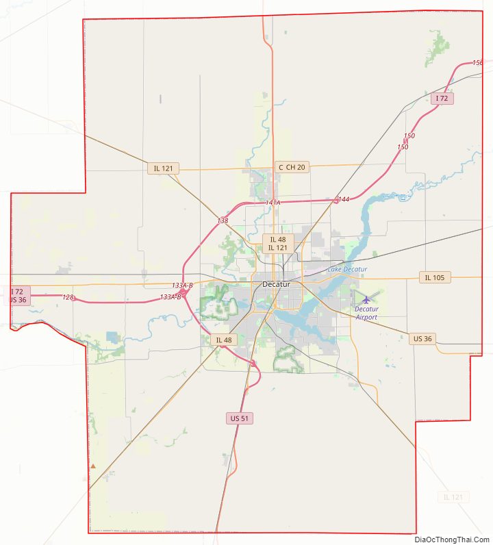
Macon County Road Map
Geography
According to the US Census Bureau, the county has a total area of 586 square miles (1,520 km), of which 581 square miles (1,500 km) is land and 5.2 square miles (13 km) (0.9%) is water.
Macon County is primarily flat, as is most of the state and all of the surrounding counties, the result of geological activity during the Pleistocene epoch. During the Illinoian Stage of the Pleistocene, the Laurentide Ice Sheet covered about 85 percent of Illinois, including the Macon County area. The subsequent thaw of the region and retreat of the ice sheet left central Illinois with its present characteristic flat topography.
Because of its central location, Macon County is often referred to as “The Heart of Illinois.”
Climate and weather
In recent years, average temperatures in the county seat of Decatur have ranged from a low of 17 °F (−8 °C) in January to a high of 88 °F (31 °C) in July, although a record low of −25 °F (−32 °C) was recorded in February 1905 and a record high of 113 °F (45 °C) was recorded in July 1954. Average monthly precipitation ranged from 1.95 inches (50 mm) in February to 4.54 inches (115 mm) in July.
Major highways
- Interstate 72
- U.S. Route 36
- U.S. Route 51
- Illinois Route 48
- Illinois Route 105
- Illinois Route 121
- Illinois Route 128
Transit
- Decatur Public Transit System
- List of intercity bus stops in Illinois
Adjacent counties
- De Witt – north
- Piatt – northeast
- Moultrie – southeast
- Shelby – south
- Christian – southwest
- Sangamon – west
- Logan – northwest
Macon County Topographic Map
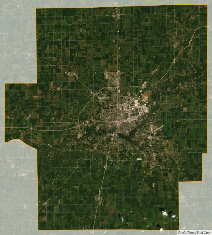
Macon County Satellite Map
Macon County Outline Map