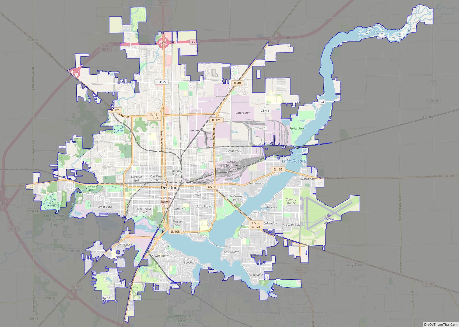
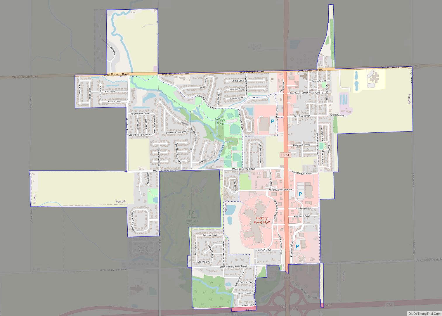
Forsyth is a village in Macon County, Illinois, United States. Its population was 3,734 at the 2020 census, up from 3,490 in 2010. It is included in the Decatur, Illinois Metropolitan Statistical Area.
| Name: | Forsyth village |
|---|---|
| LSAD Code: | 47 |
| LSAD Description: | village (suffix) |
| State: | Illinois |
| County: | Macon County |
| Elevation: | 676 ft (206 m) |
| Total Area: | 3.13 sq mi (8.11 km²) |
| Land Area: | 3.13 sq mi (8.11 km²) |
| Water Area: | 0.00 sq mi (0.00 km²) |
| Total Population: | 3,734 |
| Population Density: | 1,192.97/sq mi (460.57/km²) |
| ZIP code: | 62535 |
| Area code: | 217 |
| FIPS code: | 1727091 |
| Website: | forsythvillage.us |
Online Interactive Map
Click on ![]() to view map in "full screen" mode.
to view map in "full screen" mode.
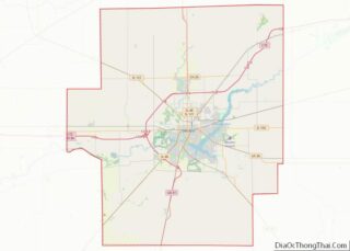
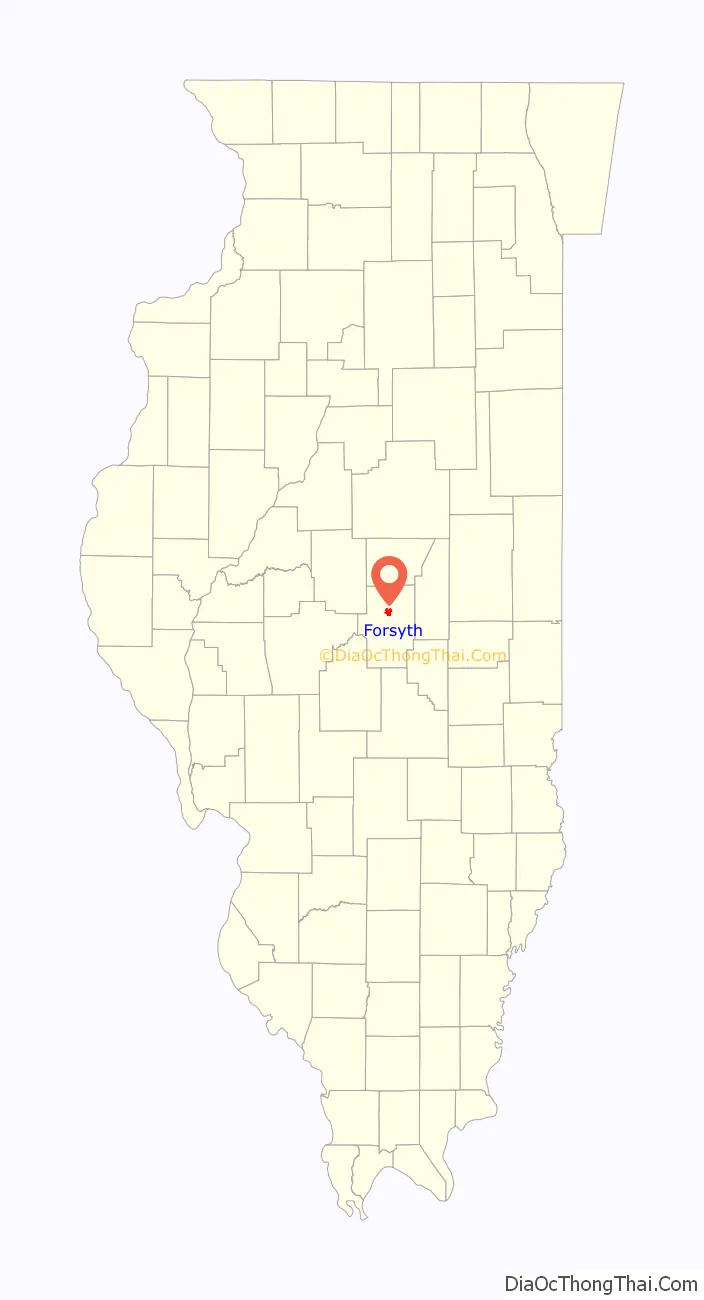
Forsyth location map. Where is Forsyth village?

History
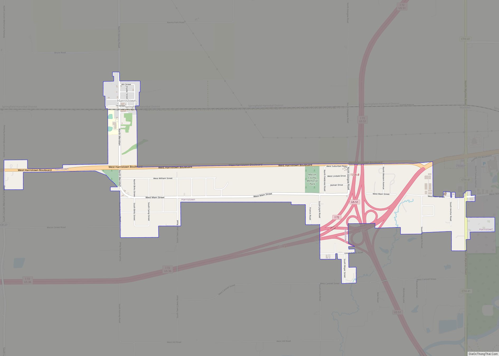
The settlement of Forsyth dates to around 1854, when the Illinois Central Railroad came through Macon County. The village is named after Col. Robert Forsyth, the first general freight agent of the Illinois Central Railroad.
Forsyth Road Map
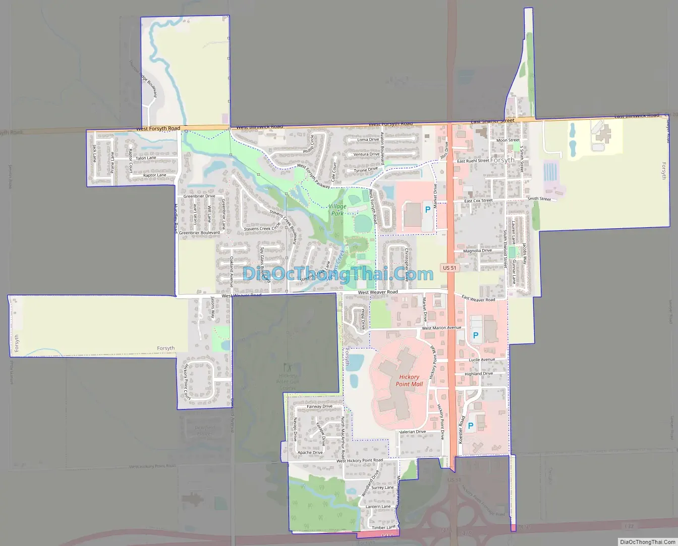
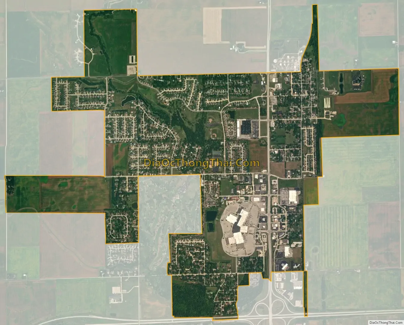
Forsyth city Satellite Map
Geography
Forsyth is located in north-central Macon County at 39°55.6′N 88°57.6′W / 39.9267°N 88.9600°W / 39.9267; -88.9600 (39.9258, -88.9593). It is bordered to the south by the city of Decatur, the county seat. U.S. Route 51 is the main highway through the village, leading south 6 miles (10 km) to the center of Decatur and north 15 miles (24 km) to Clinton. Interstate 72 runs along the southern border of Forsyth, with access from Exit 141 (US 51). I-72 leads northeast 43 miles (69 km) to Champaign and west 42 miles (68 km) to Springfield, the state capital.
According to the U.S. Census Bureau, Forsyth has an area of 3.13 square miles (8.11 km), all land.
See also
Map of Illinois State and its subdivision:- Adams
- Alexander
- Bond
- Boone
- Brown
- Bureau
- Calhoun
- Carroll
- Cass
- Champaign
- Christian
- Clark
- Clay
- Clinton
- Coles
- Cook
- Crawford
- Cumberland
- De Kalb
- De Witt
- Douglas
- Dupage
- Edgar
- Edwards
- Effingham
- Fayette
- Ford
- Franklin
- Fulton
- Gallatin
- Greene
- Grundy
- Hamilton
- Hancock
- Hardin
- Henderson
- Henry
- Iroquois
- Jackson
- Jasper
- Jefferson
- Jersey
- Jo Daviess
- Johnson
- Kane
- Kankakee
- Kendall
- Knox
- La Salle
- Lake
- Lake Michigan
- Lawrence
- Lee
- Livingston
- Logan
- Macon
- Macoupin
- Madison
- Marion
- Marshall
- Mason
- Massac
- McDonough
- McHenry
- McLean
- Menard
- Mercer
- Monroe
- Montgomery
- Morgan
- Moultrie
- Ogle
- Peoria
- Perry
- Piatt
- Pike
- Pope
- Pulaski
- Putnam
- Randolph
- Richland
- Rock Island
- Saint Clair
- Saline
- Sangamon
- Schuyler
- Scott
- Shelby
- Stark
- Stephenson
- Tazewell
- Union
- Vermilion
- Wabash
- Warren
- Washington
- Wayne
- White
- Whiteside
- Will
- Williamson
- Winnebago
- Woodford
- Alabama
- Alaska
- Arizona
- Arkansas
- California
- Colorado
- Connecticut
- Delaware
- District of Columbia
- Florida
- Georgia
- Hawaii
- Idaho
- Illinois
- Indiana
- Iowa
- Kansas
- Kentucky
- Louisiana
- Maine
- Maryland
- Massachusetts
- Michigan
- Minnesota
- Mississippi
- Missouri
- Montana
- Nebraska
- Nevada
- New Hampshire
- New Jersey
- New Mexico
- New York
- North Carolina
- North Dakota
- Ohio
- Oklahoma
- Oregon
- Pennsylvania
- Rhode Island
- South Carolina
- South Dakota
- Tennessee
- Texas
- Utah
- Vermont
- Virginia
- Washington
- West Virginia
- Wisconsin
- Wyoming