Boody is an unincorporated community and census-designated place (CDP) in Macon County, Illinois, United States. As of the 2020 census, Boody had a population of 232, down from 276 in 2010. Boody has a post office with ZIP code 62514.
The community was named after Col William H Boody.
| Name: | Boody CDP |
|---|---|
| LSAD Code: | 57 |
| LSAD Description: | CDP (suffix) |
| State: | Illinois |
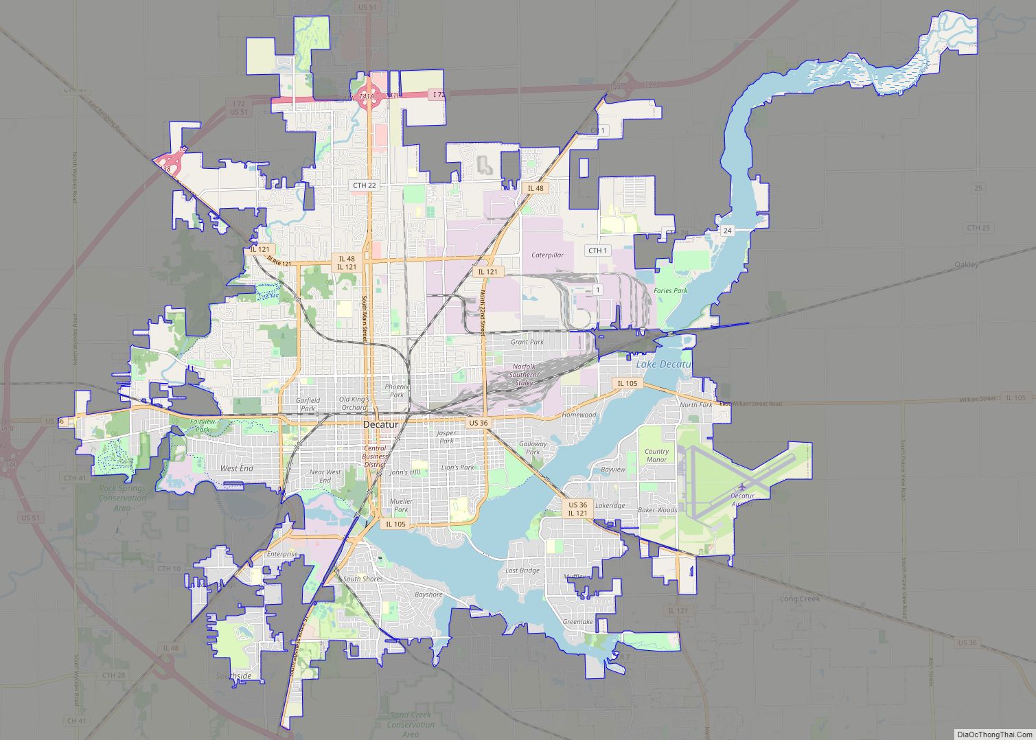
| County: | Macon County |
| Elevation: | 682 ft (208 m) |
| Total Area: | 1.15 sq mi (2.98 km²) |
| Land Area: | 1.15 sq mi (2.98 km²) |
| Water Area: | 0.00 sq mi (0.00 km²) |
| Total Population: | 232 |
| Population Density: | 201.56/sq mi (77.84/km²) |
| ZIP code: | 62514 |
| Area code: | 217 |
| FIPS code: | 1707315 |
| GNISfeature ID: | 404693 |
Online Interactive Map
Click on ![]() to view map in "full screen" mode.
to view map in "full screen" mode.
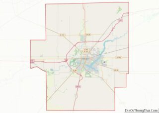
Boody location map. Where is Boody CDP?
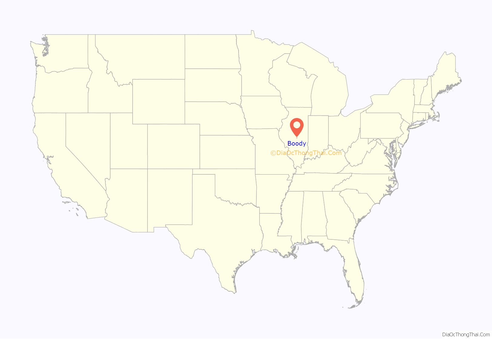

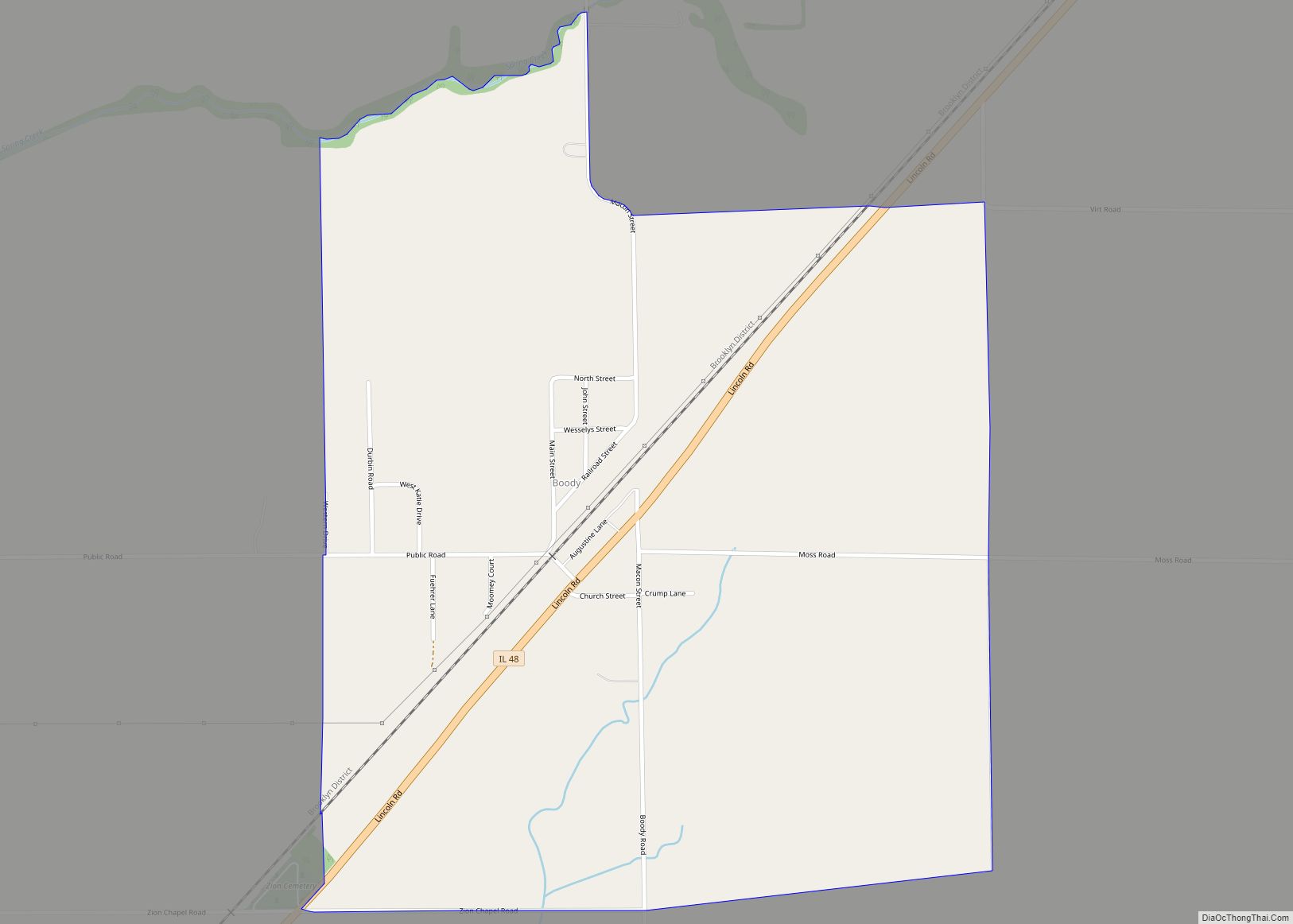
Boody Road Map

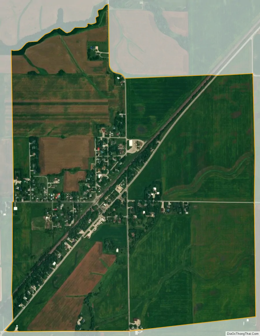
Boody city Satellite Map
Geography
Boody is located in southwestern Macon County on Illinois Route 48, 8 miles (13 km) southwest of downtown Decatur, the county seat, and 20 miles (32 km) northeast of Taylorville.
According to the U.S. Census Bureau, the Boody CDP has an area of 1.15 square miles (2.98 km), all land. The community is drained to the southwest by tributaries of Spring Creek, a tributary of west-flowing Mosquito Creek and part of the Sangamon River watershed.
See also
Map of Illinois State and its subdivision:- Adams
- Alexander
- Bond
- Boone
- Brown
- Bureau
- Calhoun
- Carroll
- Cass
- Champaign
- Christian
- Clark
- Clay
- Clinton
- Coles
- Cook
- Crawford
- Cumberland
- De Kalb
- De Witt
- Douglas
- Dupage
- Edgar
- Edwards
- Effingham
- Fayette
- Ford
- Franklin
- Fulton
- Gallatin
- Greene
- Grundy
- Hamilton
- Hancock
- Hardin
- Henderson
- Henry
- Iroquois
- Jackson
- Jasper
- Jefferson
- Jersey
- Jo Daviess
- Johnson
- Kane
- Kankakee
- Kendall
- Knox
- La Salle
- Lake
- Lake Michigan
- Lawrence
- Lee
- Livingston
- Logan
- Macon
- Macoupin
- Madison
- Marion
- Marshall
- Mason
- Massac
- McDonough
- McHenry
- McLean
- Menard
- Mercer
- Monroe
- Montgomery
- Morgan
- Moultrie
- Ogle
- Peoria
- Perry
- Piatt
- Pike
- Pope
- Pulaski
- Putnam
- Randolph
- Richland
- Rock Island
- Saint Clair
- Saline
- Sangamon
- Schuyler
- Scott
- Shelby
- Stark
- Stephenson
- Tazewell
- Union
- Vermilion
- Wabash
- Warren
- Washington
- Wayne
- White
- Whiteside
- Will
- Williamson
- Winnebago
- Woodford
- Alabama
- Alaska
- Arizona
- Arkansas
- California
- Colorado
- Connecticut
- Delaware
- District of Columbia
- Florida
- Georgia
- Hawaii
- Idaho
- Illinois
- Indiana
- Iowa
- Kansas
- Kentucky
- Louisiana
- Maine
- Maryland
- Massachusetts
- Michigan
- Minnesota
- Mississippi
- Missouri
- Montana
- Nebraska
- Nevada
- New Hampshire
- New Jersey
- New Mexico
- New York
- North Carolina
- North Dakota
- Ohio
- Oklahoma
- Oregon
- Pennsylvania
- Rhode Island
- South Carolina
- South Dakota
- Tennessee
- Texas
- Utah
- Vermont
- Virginia
- Washington
- West Virginia
- Wisconsin
- Wyoming