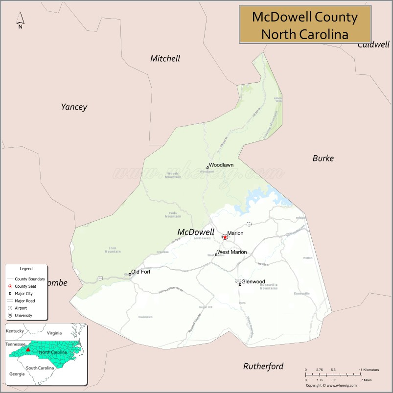
McDowell County is a county located in the U.S. state of North Carolina. As of the 2020 census, the population was 44,578. Its county seat is Marion.
McDowell County comprises the Marion, NC Micropolitan Statistical Area, which is also included in the Hickory–Lenoir, NC Combined Statistical Area.
| Name: | McDowell County |
|---|---|
| FIPS code: | 37-111 |
| State: | North Carolina |
| Founded: | 1842 |
| Named for: | Joseph McDowell |
| Seat: | Marion |
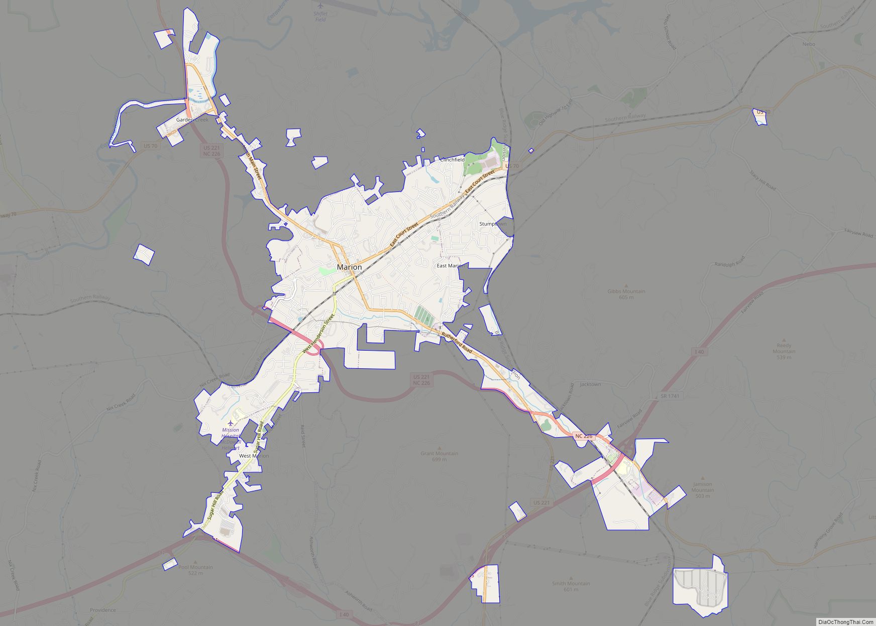
| Largest city: | Marion |
| Total Area: | 446 sq mi (1,160 km²) |
| Land Area: | 441 sq mi (1,140 km²) |
| Total Population: | 44,578 |
| Population Density: | 101.4/sq mi (39.2/km²) |
| Time zone: | UTC−5 (Eastern) |
| Summer Time Zone (DST): | UTC−4 (EDT) |
| Website: | www.mcdowellgov.com |
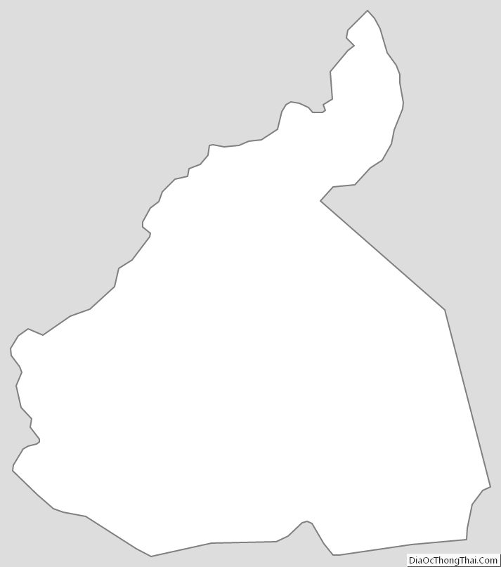
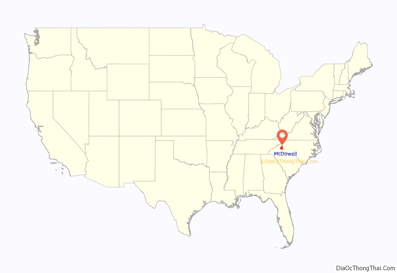
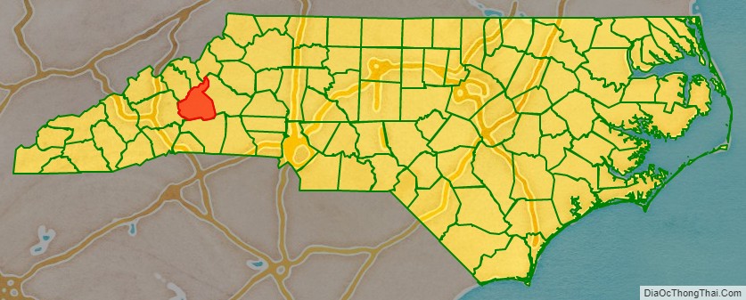
McDowell County location map. Where is McDowell County?
History
Archaeological excavations performed by Dr. David Moore during the early 1980s, revealed artifacts and other evidence that the earliest inhabitants of McDowell County lived there from the Woodland period and Mississippian culture era, from 250 to 1500 AD. Dr. Moore discovered this material in an area close to the Catawba River, in and around an unusual topographical site known as Round Hill. Both the historic Cherokee and Catawba Indians were Native American peoples known to live in what is now McDowell County, and they had been there long before any Europeans. These Native Americans were living in this section for centuries before the Spanish Juan Pardo’s 1566 expedition to the interior region from the Atlantic coast.
In the next two years, Pardo traveled from the Spanish colony on an island, through what are now South Carolina and Western North Carolina and into southeastern Tennessee. His expedition traveled through the area that is now McDowell County. His purpose was to acquire territory for Spain and establish forts for an alternative interior route to central Mexico. The Spanish mistakenly believed that the Appalachians connected to a range there, where they had established silver mines.
Pardo also hoped to find precious metals during his expedition, in which he stopped at several Native American villages. Pardo and his men built a log blockhouse, Fort San Juan, at a Mississippian chiefdom known as Joara at the headwaters of the Catawba River, a site north of present-day Morganton, North Carolina. They wintered over at Joara. Pardo directed his forces to establish five more forts in the interior, including one at Chiaha, in present-day southeastern Tennessee. The Native Americans raided the Spanish newcomers and killed all but one of the soldiers in the garrisons, burning all six forts in 1568. Pardo had already left for Spain by then. The Spanish gave up their efforts to settle the interior.
In 1748, “Hunting” John McDowell received a land grant from the colony of North Carolina for property known today as Pleasant Gardens, including acreage that originally extended from Swan’s Pond (Catawba County) up the Catawba River west to present-day Marion and into the region known as Buck Creek. McDowell went hunting with his friend Henry Weidner, and the two came upon a lush green valley with thousands of acres of what they thought was virgin forest. They were both interested in the land, and McDowell won a wrestling match to decide who should apply for it.
McDowell settled here with his family, and received two more land grants. established residence here family, and subsequently received two land grants. He is noted in Max Dixon’s book, The Wataugans, as being instrumental in Jacob Brown’s purchase of one of the last remaining pieces of acreage along the Nolichucky River in eastern Tennessee. McDowell hosted negotiations with the Cherokee from that area on his farm in North Carolina.
His son, Joseph McDowell, fought in the Battle of Kings Mountain. McDowell County is named in his honor. Today, McDowell’s home survives, one of the few remaining that was built by its namesake.
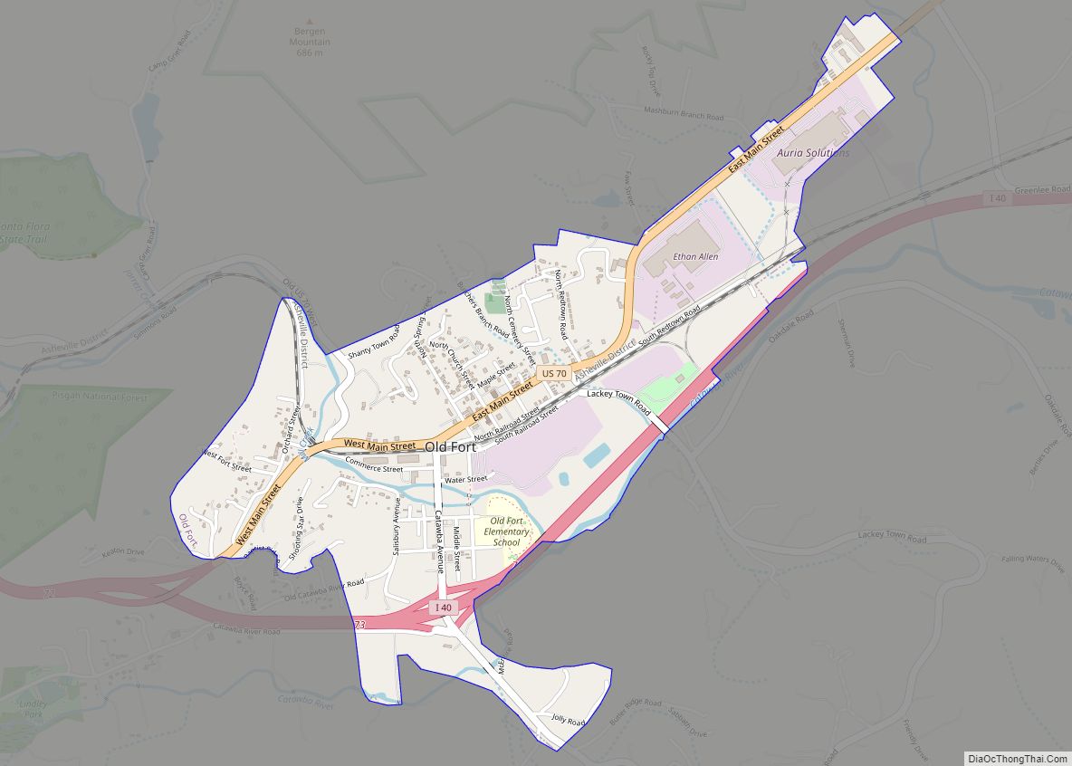
The settlement of what was known as Old Fort took place nearby; this became for a time the westernmost outpost of colonial society. These early pioneers established a community protected by a series of forts that were used into the early 19th century.
In 1793, Colonel John Carson built a plantation house near Buck Creek in the Pleasant Gardens community. It is known as the historic Carson House. He also operated gold mines in the southern part of the county. Colonel Carson had contributed to the Patriot cause in the American Revolutionary War.
Marion, the county seat of McDowell County, was planned and built on land selected by the first McDowell County Commissioners when they met on March 14, 1844, at the Carson House. It was not until 1845, however, that Marion was designated as the county seat by the state legislature. The settlement was named after Francis Marion, the American Revolutionary War hero known as the “Swamp Fox.”
He was the subject of the dramatic movie The Patriot (2000). The historic movie The Last of the Mohicans (1992), based on a novel by James Fenimore Cooper, was set in New York state, but it was filmed along the shores of Lake James.
During the Carolina Gold Rush period of the early 19th century, the south county area was known for its gold production. The banks of the Muddy Creek and mines at Vein Mountain were productive areas. Many mines and thriving gold rush towns such as Brackettown no longer exist; scattered ruins and abandoned cemeteries mark once-active sites of the gold rush period. An old mine in Woodlawn is from this period.
McDowell County was first formed in 1842 from parts of Burke County and Rutherford County. It was named for Joseph McDowell, a Revolutionary War leader and hero of the Battle of King’s Mountain. He was elected and served one term as a member of the United States House of Representatives, from 1797 to 1799.
In 1861, parts of McDowell, Burke, Caldwell, Watauga, and Yancey counties were combined to form Mitchell County. McDowell County is rich in American Civil War History.
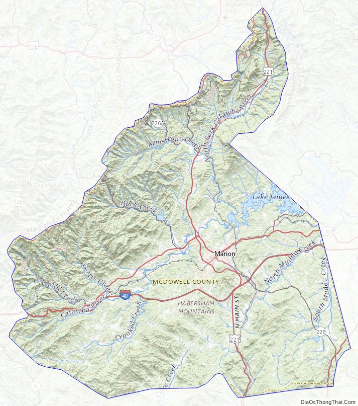
McDowell County Road Map
Geography
According to the U.S. Census Bureau, the county has a total area of 446 square miles (1,160 km), of which 441 square miles (1,140 km) is land and 5.4 square miles (14 km) (1.2%) is water.
Numerous small creeks and streams flow through the county. The Catawba River originates in and crosses the county and empties into Lake James. It flows over Catawba Falls on its way, which is accessible to the public. Other waterfalls can be found in the county, such as Toms Creek Falls. Almost half of the county, including the two aforementioned waterfalls, is located inside the Pisgah National Forest. Linville Caverns, North Carolina’s only limestone cavern system open to the public, is located in the far northern part of the county.
Geologically, McDowell County is located within the southern Appalachian Mountains region. The Blue Ridge Parkway closely follows the northwestern boundary of the county. McDowell County rises rapidly from the Piedmont (United States) in its extreme eastern border where elevations average about 1200 feet above sea level, to the Blue Ridge Mountains in the north and west. Its lowest point is 969 feet above sea level along Cane Creek in the county’s southeastern corner. Its highest point is Pinnacle—at 5,665 feet above sea level the second-highest mountain (after Grandfather Mountain) in the Blue Ridge, and also considered the southernmost tip of the Black Mountains, the highest ridge in eastern America. Much of the county lies in the Foothills (North Carolina) region of Western North Carolina.
National Protected areas
- Blue Ridge Parkway (part)
- Linville Gorge Wilderness (part)
State and local protected areas
- Bobs Creek State Natural Area
- Fonta Flora State Trail (part)
- Lake James State Park (part)
- South Mountains Game Land (part)
- Wilderness Gateway State Trail (part)
Major water bodies
- Armstrong Creek
- Bee Rock Creek
- Black Bear Cove
- Broad River
- Camp Creek
- Cane Creek
- Catawba River
- Cox Creek
- Crooked Creek
- Jake Creek
- Jarrnett Creek
- Lake James
- Lake Tahoma
- Laurel Creek
- Mill Creek
- Nix Creek
- North Fork Catawba River
- Rosas Creek
- Second Broad River
- Shoal Creek
- South Muddy Creek
- Toms Creek
Adjacent counties
- Mitchell County – north
- Avery County – north
- Burke County – east
- Rutherford County – south
- Buncombe County – west
- Yancey County – northwest
Major highways
- I-40
- US 64
- US 70
- US 221
- US 221 Bus.
- NC 80
- NC 126
- NC 183
- NC 226
- NC 226A
McDowell County Topographic Map
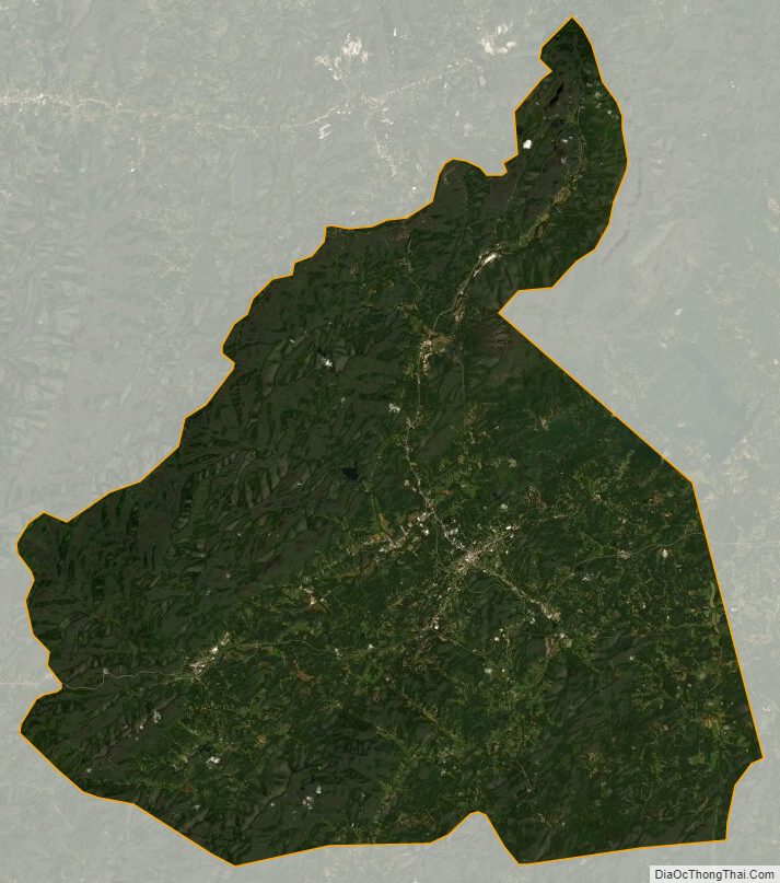
McDowell County Satellite Map
McDowell County Outline Map