Old Fort is a town in McDowell County, North Carolina, United States. The population was 811 people in the 2020 U.S. census.
| Name: | Old Fort town |
|---|---|
| LSAD Code: | 43 |
| LSAD Description: | town (suffix) |
| State: | North Carolina |
| County: | McDowell County |
| Elevation: | 1,447 ft (440 m) |
| Total Area: | 1.23 sq mi (3.18 km²) |
| Land Area: | 1.22 sq mi (3.16 km²) |
| Water Area: | 0.01 sq mi (0.02 km²) |
| Total Population: | 811 |
| Population Density: | 664.21/sq mi (256.48/km²) |
| ZIP code: | 28762 |
| Area code: | 828 |
| FIPS code: | 3748920 |
| GNISfeature ID: | 1014094 |
| Website: | oldfort.org |
Online Interactive Map
Click on ![]() to view map in "full screen" mode.
to view map in "full screen" mode.
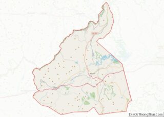
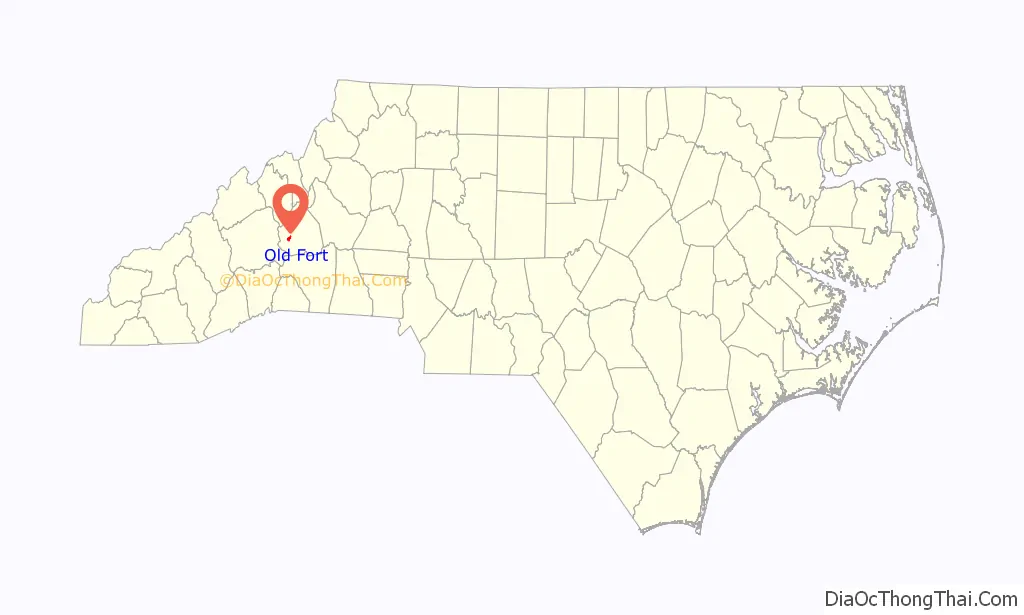
Old Fort location map. Where is Old Fort town?

History
Before the arrival of European settlers, the area that is now Old Fort was populated by the Catawba and Cherokee. In the 1500s, Spanish explorers came through the area. English and Scottish settler arrived in the area in the mid-1700s.
During the Revolutionary War, a stockade or fort was constructed on land owned by brothers George and Samuel Davidson, “the westernmost outpost of Colonial civilization” It was called Davidson’s Fort and was the post for military expeditions such as that of Gen. Griffith Rutherford in 1776. The fort became a site for trading between settlers and Native Americans.
The arrival of the Western North Carolina Railway (WNCR) in 1869 stimulated the development of a depot and hotel. In 1871, Sanborn Worthen bought the 2200-acre Old Fort Plantation from George Davidson’s grandson and changed its name to Catawba Vale. Worth hoped the railroad would build its yard there but the WNCR chose another site.
On January 25, 1872, the town of Catawba Vale was founded. The town name was changed to Old Fort on February 23, 1873, honoring its origins. The railroad came to Old Fort in 1879.
In 1984 the town began free weekly mountain music concerts, held in the historic Rockett Building each Friday night downtown. They attracted large audiences and numerous musicians. In mid-2014, the organization that ran mountain music lost its arrangement with the building owner, and the weekly music shows ended after 27 years.
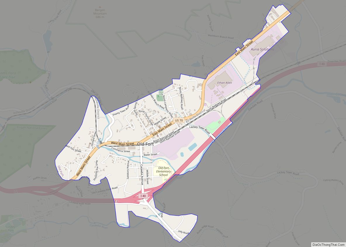
Old Fort Road Map
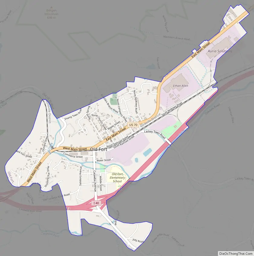
Old Fort city Satellite Map

Geography
Old Fort is located at 35°37′46″N 82°10′45″W / 35.62944°N 82.17917°W / 35.62944; -82.17917 (35.629541, -82.179178). It is 30 miles (48 km) east of Asheville, North Carolina. According to the United States Census Bureau, the town has a total area of 1.2 square miles (3.1 km), all land. Mill Creek flows through the center of Old Fort. The town is surrounded by Pisgah National Forest which includes bogs, cove forests, fens, and hemlock forests.
Climate
Old Fort has a humid subtropical climate (Cfa) and average monthly temperatures range from 38.5 °F (3.6 °C) in January to 75.7 °F (24.3 °C) in July. Temperature variations between night and day can reach 21 degrees in the summer and 23 degrees in the winter.
The annual average precipitation at Old Fort is 54.01 inches (137.2 cm). Rainfall is fairly uniformly distributed throughout the year. The wettest month of the year is March, with an average rainfall of 5.59 inches (14.2 cm). The area has a humid subtropical climate (Cfa) and average monthly temperatures range from 38.5 °F (3.6 °C)in January to 75.7 °F (24.3 °C)75.7 °F in July.
See also
Map of North Carolina State and its subdivision:- Alamance
- Alexander
- Alleghany
- Anson
- Ashe
- Avery
- Beaufort
- Bertie
- Bladen
- Brunswick
- Buncombe
- Burke
- Cabarrus
- Caldwell
- Camden
- Carteret
- Caswell
- Catawba
- Chatham
- Cherokee
- Chowan
- Clay
- Cleveland
- Columbus
- Craven
- Cumberland
- Currituck
- Dare
- Davidson
- Davie
- Duplin
- Durham
- Edgecombe
- Forsyth
- Franklin
- Gaston
- Gates
- Graham
- Granville
- Greene
- Guilford
- Halifax
- Harnett
- Haywood
- Henderson
- Hertford
- Hoke
- Hyde
- Iredell
- Jackson
- Johnston
- Jones
- Lee
- Lenoir
- Lincoln
- Macon
- Madison
- Martin
- McDowell
- Mecklenburg
- Mitchell
- Montgomery
- Moore
- Nash
- New Hanover
- Northampton
- Onslow
- Orange
- Pamlico
- Pasquotank
- Pender
- Perquimans
- Person
- Pitt
- Polk
- Randolph
- Richmond
- Robeson
- Rockingham
- Rowan
- Rutherford
- Sampson
- Scotland
- Stanly
- Stokes
- Surry
- Swain
- Transylvania
- Tyrrell
- Union
- Vance
- Wake
- Warren
- Washington
- Watauga
- Wayne
- Wilkes
- Wilson
- Yadkin
- Yancey
- Alabama
- Alaska
- Arizona
- Arkansas
- California
- Colorado
- Connecticut
- Delaware
- District of Columbia
- Florida
- Georgia
- Hawaii
- Idaho
- Illinois
- Indiana
- Iowa
- Kansas
- Kentucky
- Louisiana
- Maine
- Maryland
- Massachusetts
- Michigan
- Minnesota
- Mississippi
- Missouri
- Montana
- Nebraska
- Nevada
- New Hampshire
- New Jersey
- New Mexico
- New York
- North Carolina
- North Dakota
- Ohio
- Oklahoma
- Oregon
- Pennsylvania
- Rhode Island
- South Carolina
- South Dakota
- Tennessee
- Texas
- Utah
- Vermont
- Virginia
- Washington
- West Virginia
- Wisconsin
- Wyoming