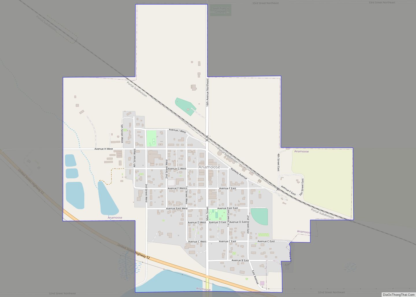
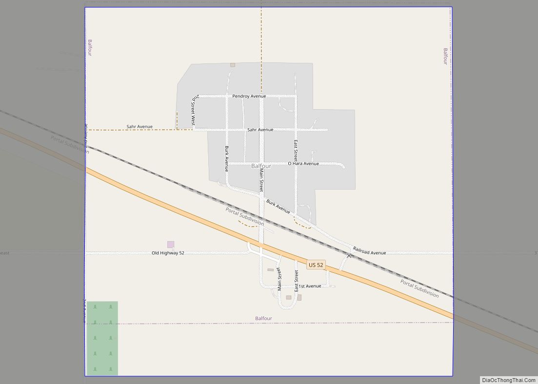
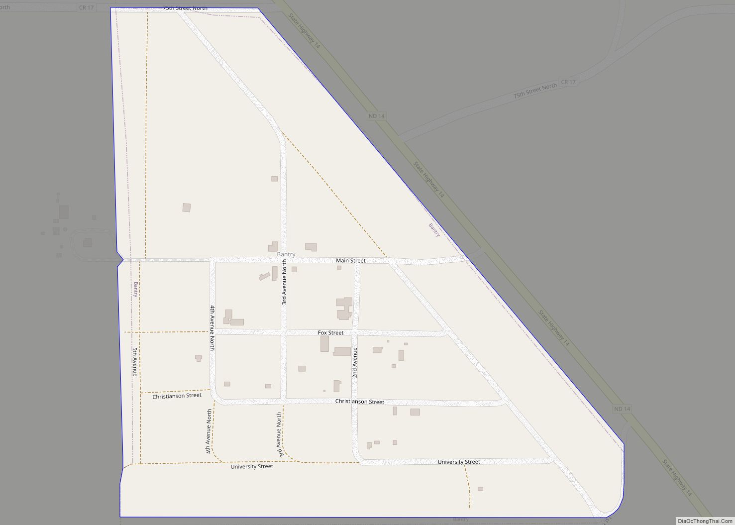
McHenry County is a county in the U.S. state of North Dakota. As of the 2020 census, the population was 5,345. Its county seat is Towner.
McHenry County is part of the Minot, ND Micropolitan Statistical Area.
| Name: | McHenry County |
|---|---|
| FIPS code: | 38-049 |
| State: | North Dakota |
| Founded: | 1873 |
| Seat: | Towner |
| Largest city: | Velva |
| Total Area: | 1,912 sq mi (4,950 km²) |
| Land Area: | 1,874 sq mi (4,850 km²) |
| Total Population: | 5,345 |
| Population Density: | 2.8/sq mi (1.1/km²) |
| Time zone: | UTC−6 (Central) |
| Summer Time Zone (DST): | UTC−5 (CDT) |
| Website: | www.mchenrycountynd.com |
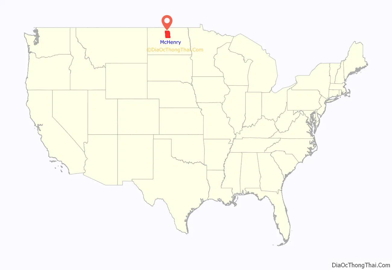
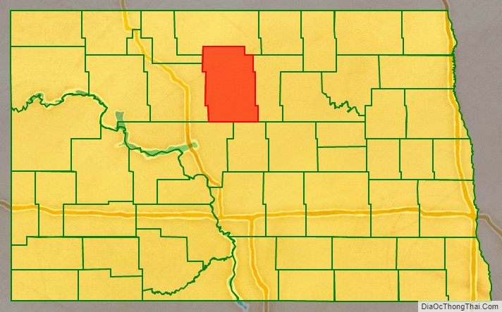
McHenry County location map. Where is McHenry County?
History
The Dakota Territory legislature created the county on January 4, 1873, with territory annexed from Bottineau County. It was named for James McHenry, an early settler of Vermillion (in present South Dakota). The county government was not organized at that time, nor was the county attached to another county for administrative and judicial purposes. The county organization was effected on October 15, 1884. The county boundaries were altered in 1885, 1887, 1891, and in 1892. It has retained its present boundaries since 1892.
When the county was organized in 1884, Villard was named as county seat. In 1885 this designation was moved to Scriptown. In 1886 the designation was again moved, to Towner, which has remained the seat to the present time (the two former sites are now ghost towns).
McHenry County Road Map
Geography
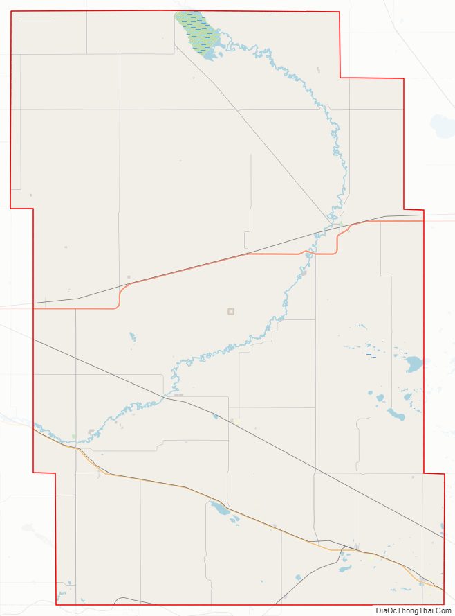
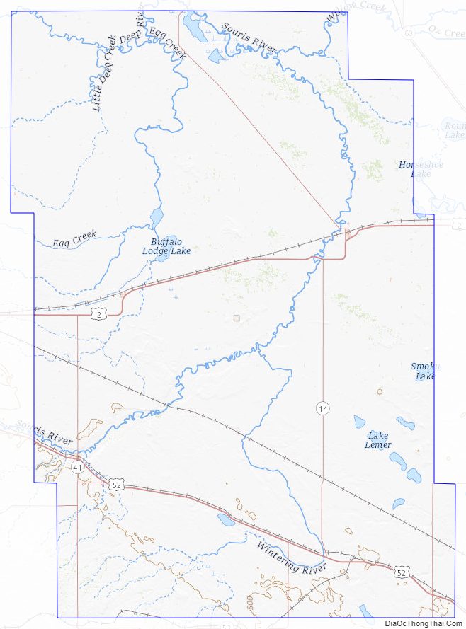
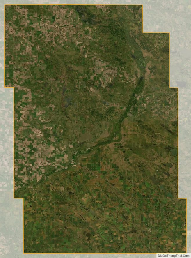
The Souris River loops through the county before turning north to its eventual discharge into Lake Winnipeg. The Wintering River drains the southern part of the county. The county terrain consists of rolling hills, partly devoted to agriculture (including limited use of center pivot irrigation). The terrain slopes to the north and east, with its highest point on the west boundary line near the southwest corner, at 2,156′ (657m) ASL. The county has a total area of 1,912 square miles (4,950 km), of which 1,874 square miles (4,850 km) is land and 38 square miles (98 km) (2.0%) is water. In 2013, 131 plants were collected in the Lake George area.
Major highways
- U.S. Highway 2
- U.S. Highway 52
- North Dakota Highway 14
- North Dakota Highway 19
- North Dakota Highway 41
- North Dakota Highway 53
- North Dakota Highway 97
Adjacent counties
- Bottineau County – north
- Pierce County – east
- Sheridan County – southeast
- McLean County – southwest
- Ward County – west
- Renville County – northwest
National protected areas
- Cottonwood Lake National Wildlife Refuge
- Denbigh Experimental Forest
- J. Clark Salyer National Wildlife Refuge (part)
- Wintering River National Wildlife Refuge
Lakes
- Bromley Lake
- Buffalo Lodge Lake
- Connia Slough
- Erickson Lake
- Heringen Lake
- Horseshoe Lake (part)
- Lake George
- Lake Hester
- Lauinger Lake
- Martin Lake
- North Lake
- Potters Lake
- Round Lake
- Smoky Lake (part)
- Stevens Slough
- Stink Lake
McHenry County Topographic Map
McHenry County Satellite Map
McHenry County Outline Map