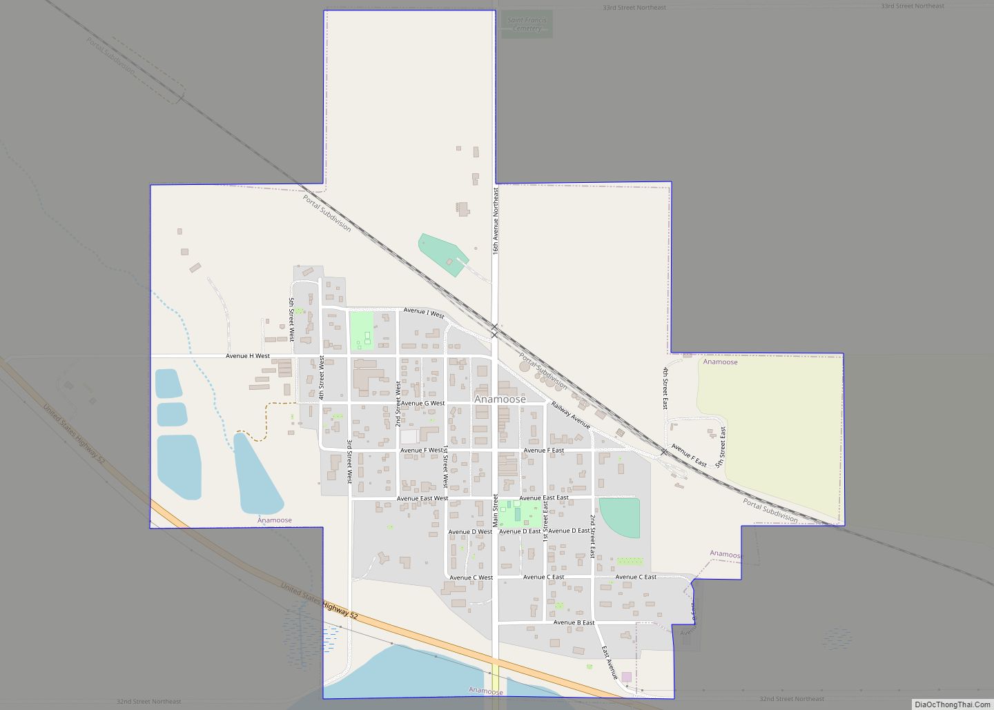
Anamoose is a city in McHenry County, North Dakota, United States. The population was 230 at the 2020 census. It is part of the Minot Micropolitan Statistical Area.
Anamoose was established along the main line of the Soo Line Railroad in 1898 by Romanians who had come from Saskatchewan, Canada. The name is a corruption of the Chippewa word uhnemoosh, which means “female dog.”
| Name: | Anamoose city |
|---|---|
| LSAD Code: | 25 |
| LSAD Description: | city (suffix) |
| State: | North Dakota |
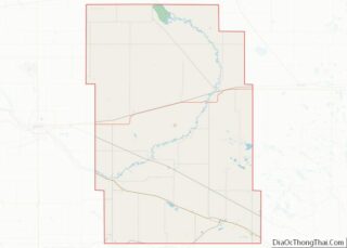
| County: | McHenry County |
| Elevation: | 1,621 ft (494 m) |
| Total Area: | 0.63 sq mi (1.64 km²) |
| Land Area: | 0.62 sq mi (1.61 km²) |
| Water Area: | 0.01 sq mi (0.02 km²) |
| Total Population: | 230 |
| Population Density: | 369.18/sq mi (142.50/km²) |
| ZIP code: | 58710 |
| Area code: | 701 |
| FIPS code: | 3802220 |
| GNISfeature ID: | 1027700 |
| Website: | anamoose.com |
Online Interactive Map
Click on ![]() to view map in "full screen" mode.
to view map in "full screen" mode.
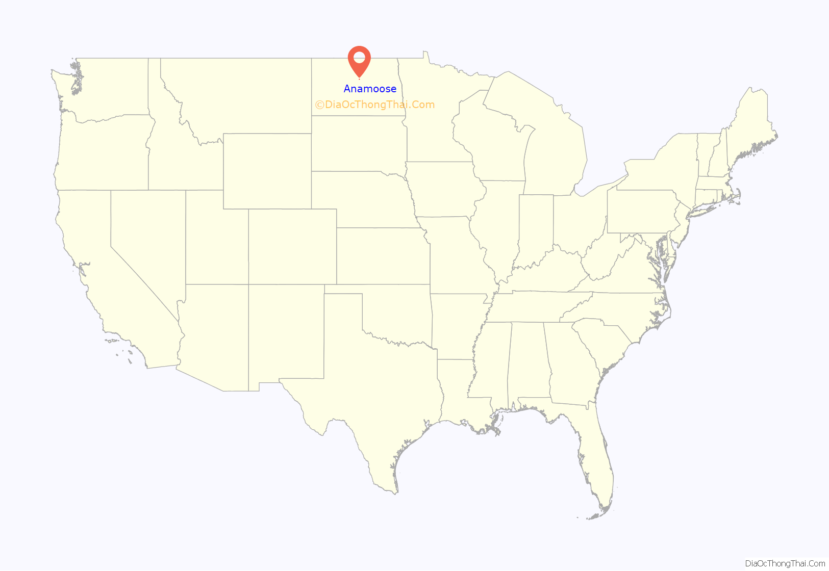
Anamoose location map. Where is Anamoose city?
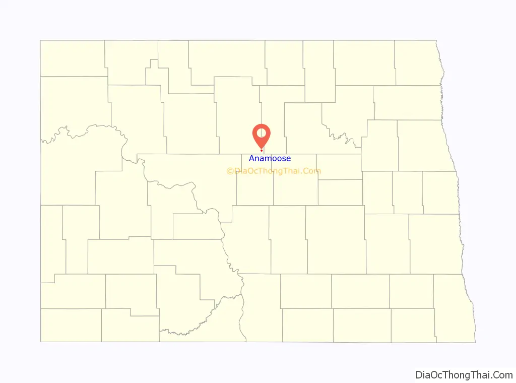
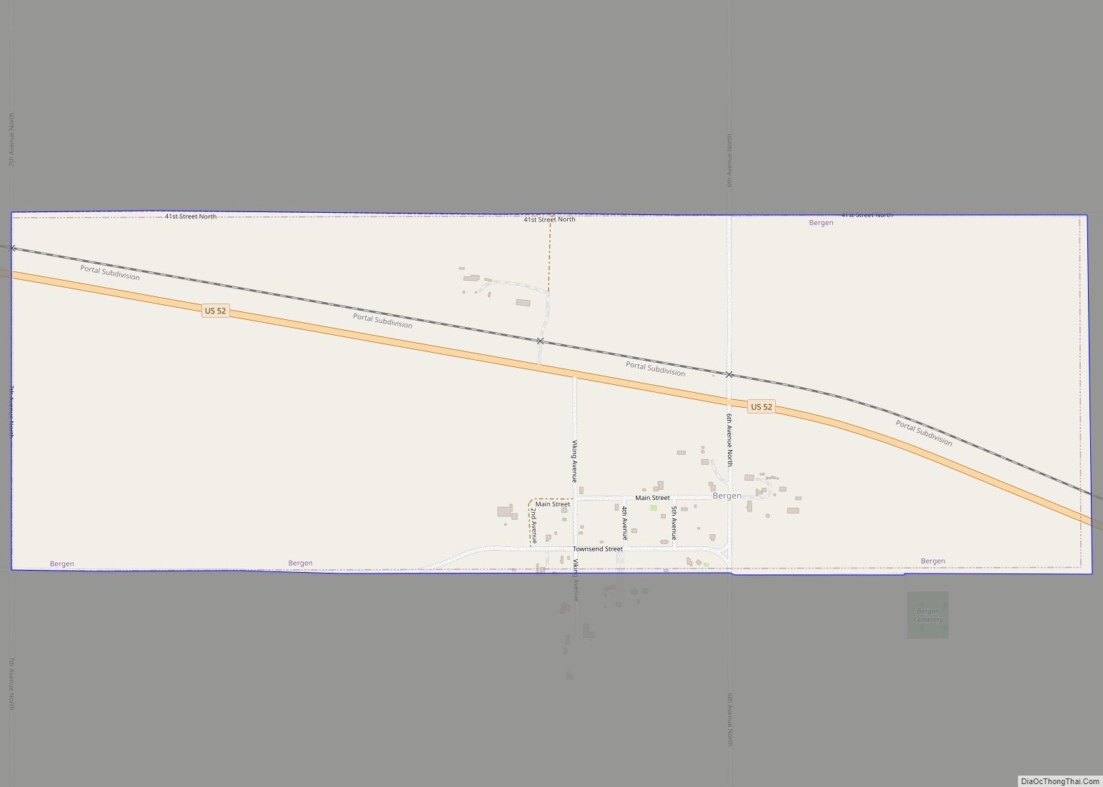
Anamoose Road Map
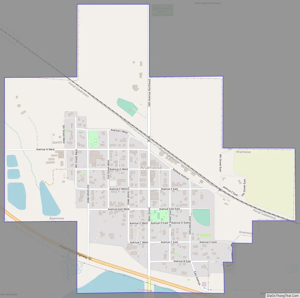
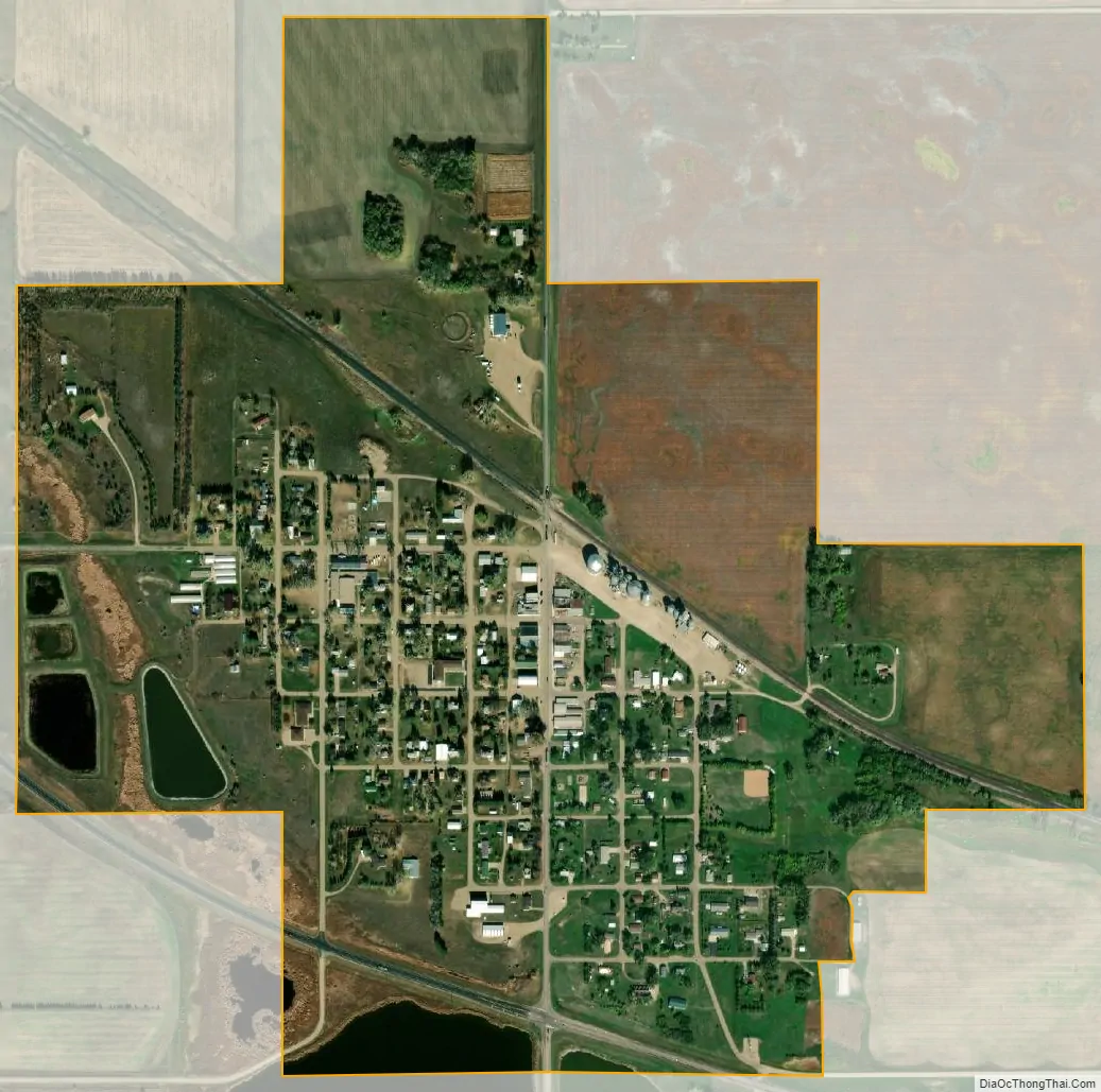
Anamoose city Satellite Map
Geography
Anamoose is located at 47°52′52″N 100°14′31″W / 47.88111°N 100.24194°W / 47.88111; -100.24194 (47.881153, -100.241860).
According to the United States Census Bureau, the city has a total area of 0.62 square miles (1.61 km), of which 0.61 square miles (1.58 km) is land and 0.01 square miles (0.03 km) is water.
See also
Map of North Dakota State and its subdivision:- Adams
- Barnes
- Benson
- Billings
- Bottineau
- Bowman
- Burke
- Burleigh
- Cass
- Cavalier
- Dickey
- Divide
- Dunn
- Eddy
- Emmons
- Foster
- Golden Valley
- Grand Forks
- Grant
- Griggs
- Hettinger
- Kidder
- Lamoure
- Logan
- McHenry
- McIntosh
- McKenzie
- McLean
- Mercer
- Morton
- Mountrail
- Nelson
- Oliver
- Pembina
- Pierce
- Ramsey
- Ransom
- Renville
- Richland
- Rolette
- Sargent
- Sheridan
- Sioux
- Slope
- Stark
- Steele
- Stutsman
- Towner
- Traill
- Walsh
- Ward
- Wells
- Williams
- Alabama
- Alaska
- Arizona
- Arkansas
- California
- Colorado
- Connecticut
- Delaware
- District of Columbia
- Florida
- Georgia
- Hawaii
- Idaho
- Illinois
- Indiana
- Iowa
- Kansas
- Kentucky
- Louisiana
- Maine
- Maryland
- Massachusetts
- Michigan
- Minnesota
- Mississippi
- Missouri
- Montana
- Nebraska
- Nevada
- New Hampshire
- New Jersey
- New Mexico
- New York
- North Carolina
- North Dakota
- Ohio
- Oklahoma
- Oregon
- Pennsylvania
- Rhode Island
- South Carolina
- South Dakota
- Tennessee
- Texas
- Utah
- Vermont
- Virginia
- Washington
- West Virginia
- Wisconsin
- Wyoming