McLean County is the largest county by land area in the U.S. state of Illinois. According to the 2020 Census, it had a population of 170,954. Its county seat is Bloomington. McLean County is included in the Bloomington–Normal, IL Metropolitan Statistical Area.
| Name: | McLean County |
|---|---|
| FIPS code: | 17-113 |
| State: | Illinois |
| Founded: | December 25, 1830 |
| Named for: | John McLean |
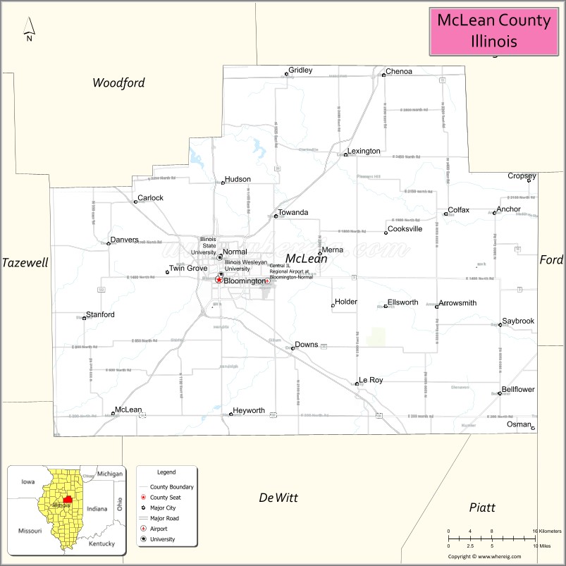
| Seat: | Bloomington |
| Largest city: | Bloomington |
| Total Area: | 1,186 sq mi (3,070 km²) |
| Land Area: | 1,183 sq mi (3,060 km²) |
| Total Population: | 170,954 |
| Population Density: | 140/sq mi (56/km²) |
| Time zone: | UTC−6 (Central) |
| Summer Time Zone (DST): | UTC−5 (CDT) |
| Website: | www.mcleancountyil.gov |
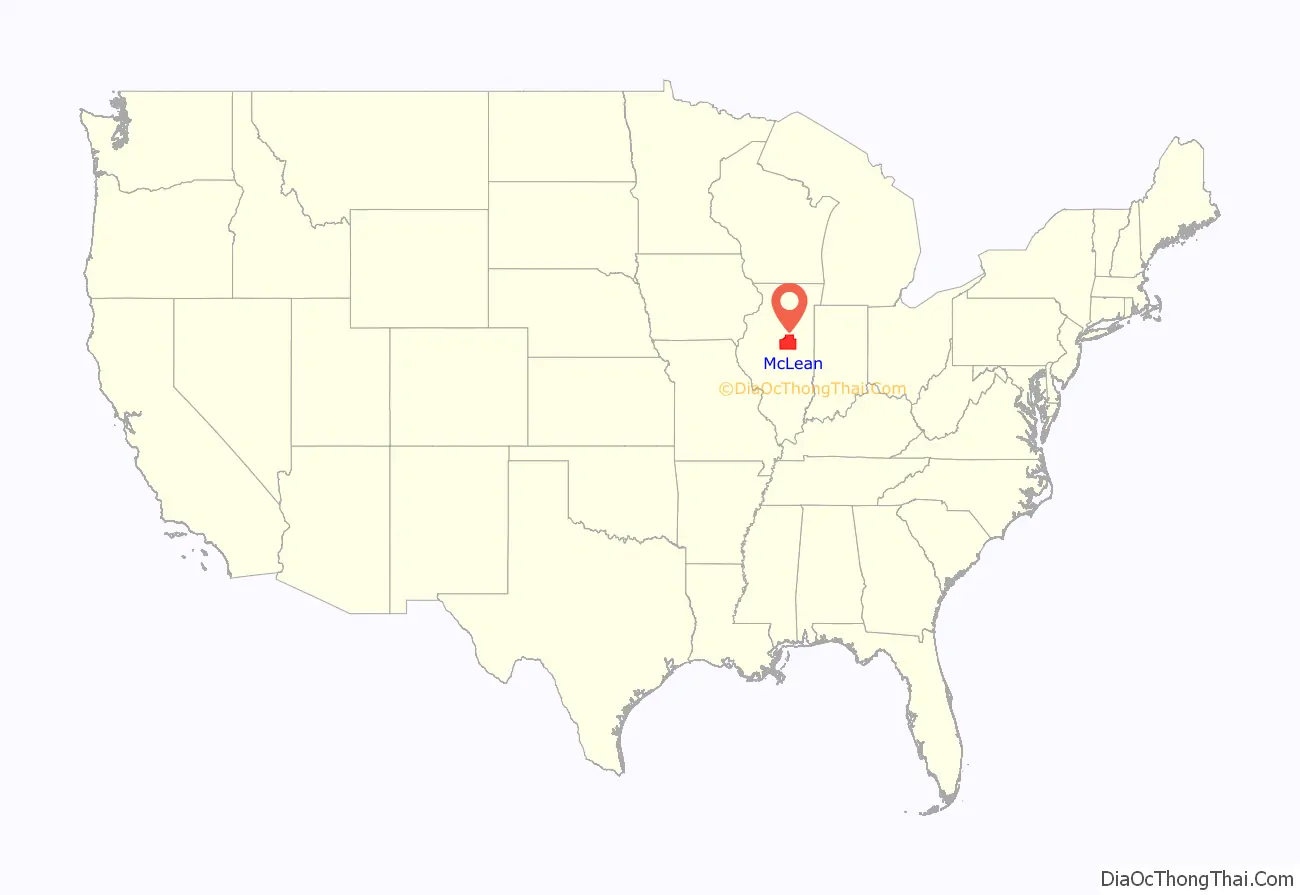
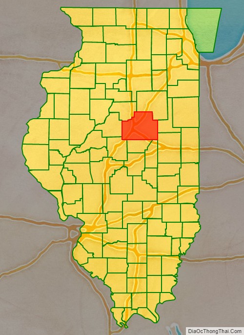
McLean County location map. Where is McLean County?
History
The first white settlers in what became McLean County arrived around 1821. The first settlement was Blooming Grove, established in 1822 near present-day Bloomington. McLean County was formed late in 1830 out of Tazewell County. It was named for John McLean, United States Senator for Illinois, who died in 1830.
McLean County from the time of its creation to 1837
McLean County between 1837 and 1841
McLean County in 1841, reduced to its present borders
McLean County Road Map
Geography
According to the U.S. Census Bureau, the county has a total area of 1,186 square miles (3,070 km), of which 1,183 square miles (3,060 km) is land and 2.9 square miles (7.5 km) (0.2%) is water. It is the largest county in Illinois by land area and third-largest by total area after Cook and Lake Counties, which have large portions of their areas on Lake Michigan. McLean County is actually larger than the land area of Rhode Island (1045 sq mi).
Climate and weather
In recent years, average temperatures in the county seat of Bloomington have ranged from a low of 14 °F (−10 °C) in January to a high of 86 °F (30 °C) in July, although a record low of −23 °F (−31 °C) was recorded in January 1985 and a record high of 103 °F (39 °C) was recorded in June 1988. Average monthly precipitation ranged from 1.71 inches (43 mm) in February to 4.52 inches (115 mm) in May.
Adjacent counties
- Woodford County – northwest
- Livingston County – northeast
- Ford County – east
- Champaign County – southeast
- Piatt County – south
- DeWitt County – south
- Logan County – southwest
- Tazewell County – west
Major highways
- Interstate 39
- Interstate 55
- Interstate 74
- U.S. Highway 24
- U.S. Highway 51
- U.S. Highway 66
- U.S. Highway 136
- U.S. Highway 150
- Illinois Route 9
- Illinois Route 54
- Illinois Route 122
- Illinois Route 165
- Illinois Route 251
Transit
- Connect Transit
- Uptown Station
- List of intercity bus stops in Illinois
McLean County Topographic Map
McLean County Satellite Map
McLean County Outline Map