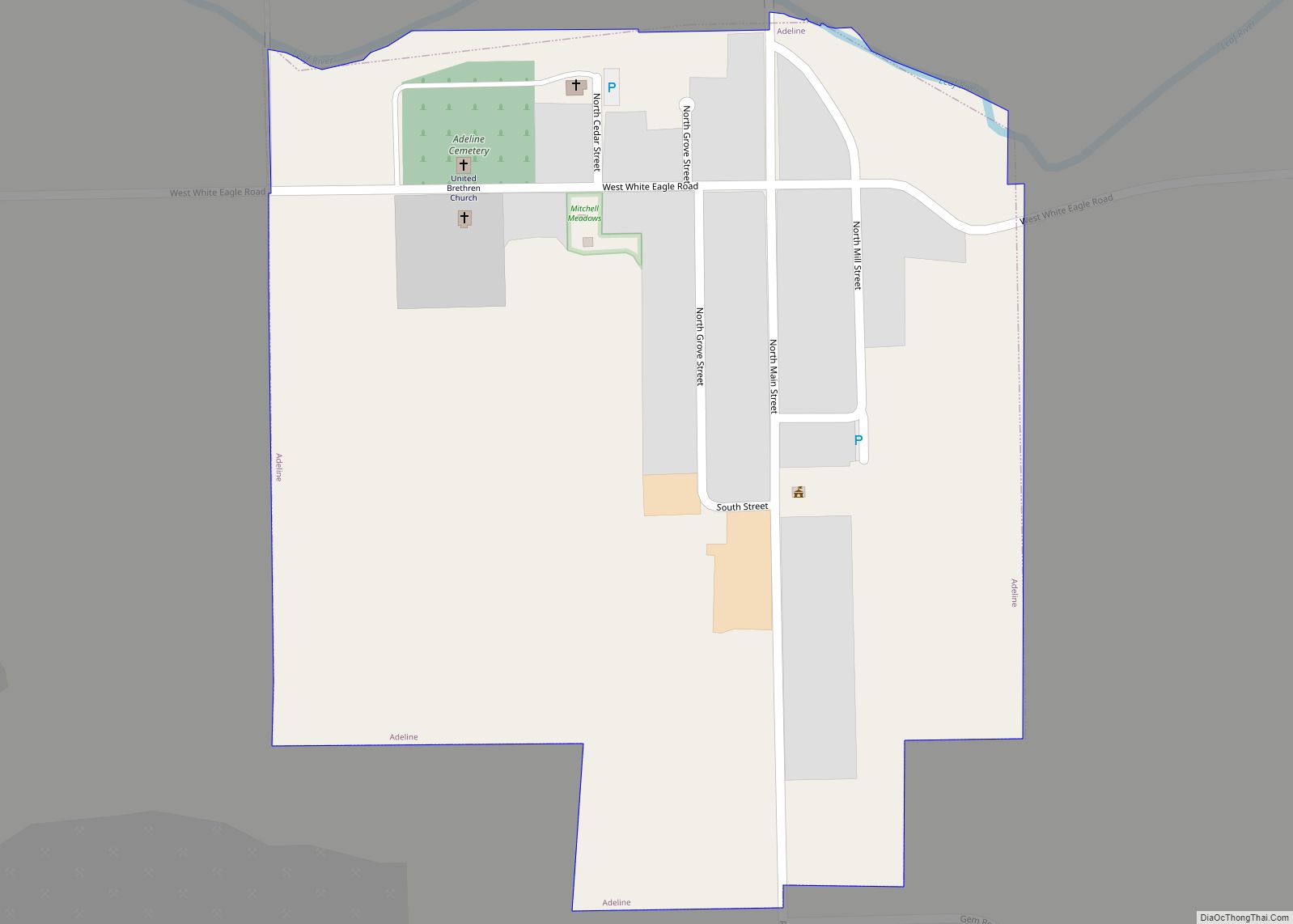
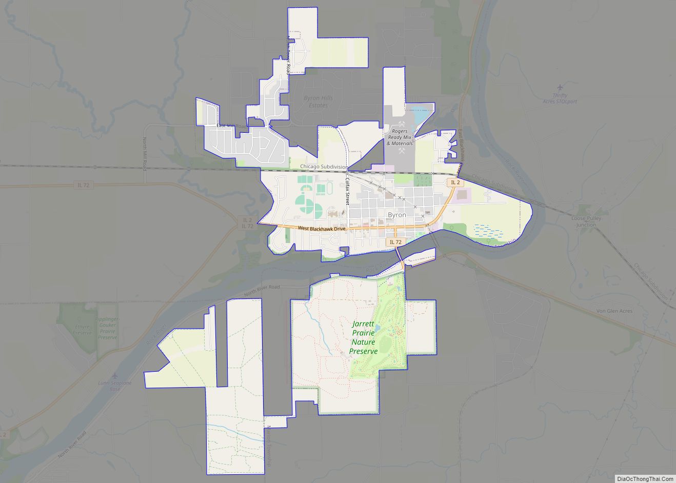
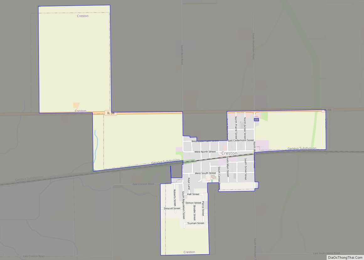
Ogle County is a county in the northern part of the U.S. state of Illinois. According to the 2010 United States Census, it had a population of 53,497. Its county seat is Oregon, and its largest city is Rochelle. Ogle County comprises Rochelle, IL Micropolitan Statistical Area, which is also included in the Rockford–Freeport-Rochelle, IL Combined Statistical Area.
| Name: | Ogle County |
|---|---|
| FIPS code: | 17-141 |
| State: | Illinois |
| Founded: | January 16, 1836 |
| Named for: | Joseph Ogle |
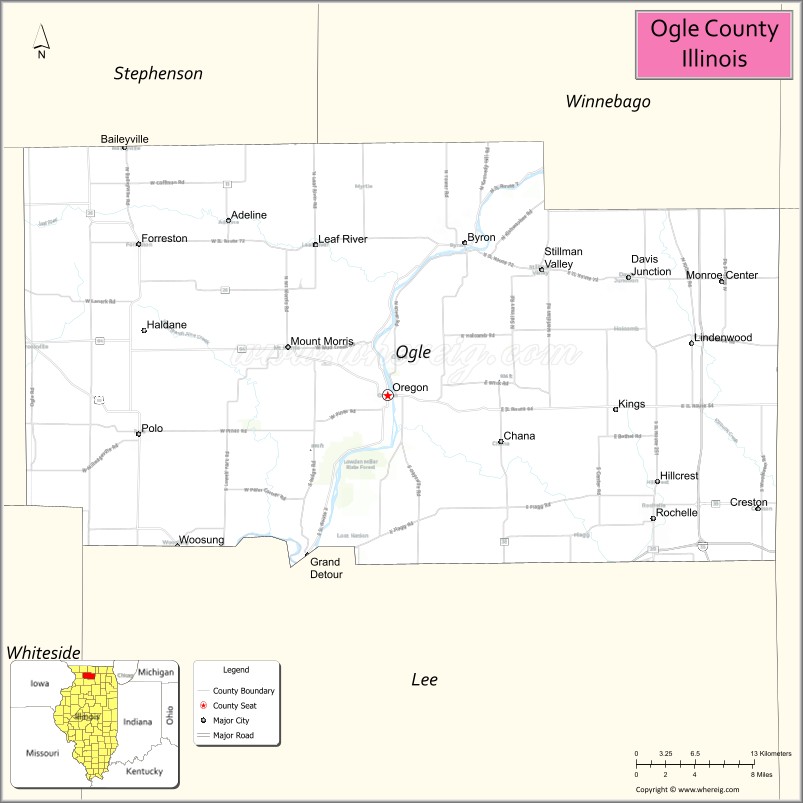
| Seat: | Oregon |
| Largest city: | Rochelle |
| Total Area: | 763 sq mi (1,980 km²) |
| Land Area: | 759 sq mi (1,970 km²) |
| Total Population: | 53,497 |
| Population Density: | 70/sq mi (27/km²) |
| Time zone: | UTC−6 (Central) |
| Summer Time Zone (DST): | UTC−5 (CDT) |
| Website: | www.oglecounty.org |
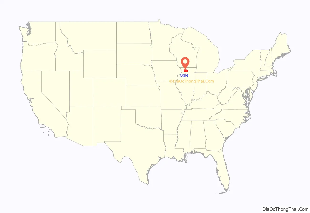
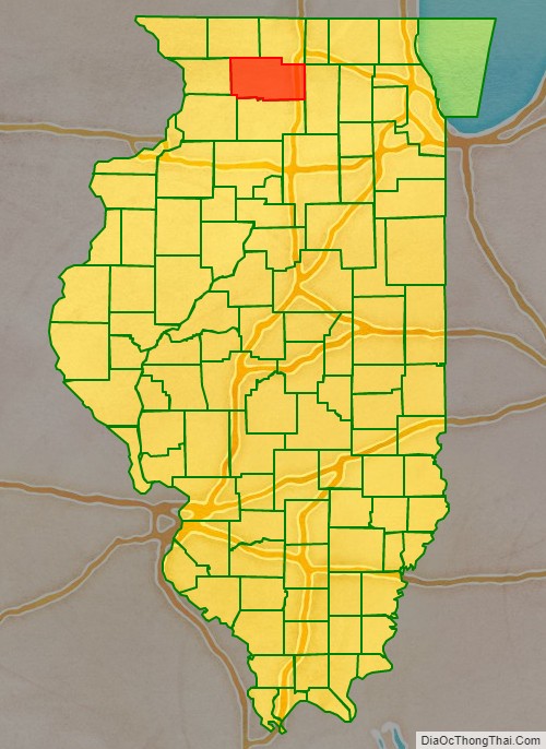
Ogle County location map. Where is Ogle County?
History
Ogle County was formed in 1836 out of Jo Daviess and LaSalle counties, and named in honor of Captain Joseph Ogle, a veteran of the Revolutionary War who settled in Illinois in 1785. Ogle County government was organized in 1837; before that time it remained assigned to Jo Daviess County for legislative, taxation, and judicial matters. In 1839, part of Ogle County was partitioned off to form Lee County.
Ogle County was a New England settlement. The founders of Oregon and Rochelle arrived from New England; they were “Yankees”, descendants of English Puritans who had settled New England in the 1600s. They were part of a wave of farmers who migrated into the Northwest Territory in the early 1800s, their trek eased by completion of the Erie Canal in 1825. They found virgin forest and wild prairie, and quickly laid out farms, constructed roads, erected government buildings and established post routes. They brought a passion for education and strong abolitionism. They were members of the Congregationalist or Episcopalian Church. Culturally Ogle County, like much of northern Illinois would maintain values similar to those of New England.
Ogle County between 1836 and 1839
Ogle County after 1839, when Lee County was formed
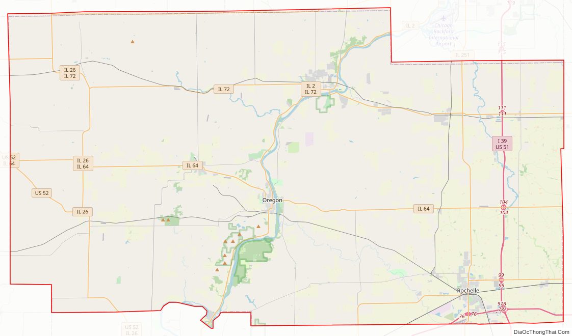
Ogle County Road Map
Geography
According to the US Census Bureau, the county has a total area of 763 square miles (1,980 km), of which 759 square miles (1,970 km) is land and 4.4 square miles (11 km) (0.6%) is water.
Adjacent counties
- Winnebago County – north
- Boone County – northeast
- Stephenson County – northwest
- DeKalb County – east
- Carroll County – west
- Lee County – south
- Whiteside County – southwest
- Lake County, Illinois– northeast
Climate
In recent years, average temperatures in Oregon have ranged from a low of 10 °F (−12 °C) in January to a high of 82 °F (28 °C) in July, although a record low of −27 °F (−33 °C) was recorded in January 1999 and a record high of 110 °F (43 °C) was recorded in July 1936. Average monthly precipitation ranged from 1.43 inches (36 mm) in February to 4.88 inches (124 mm) in June.
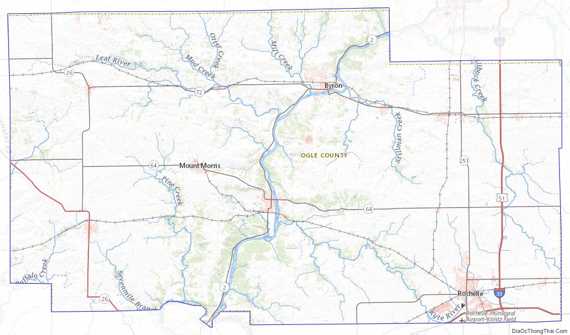
Ogle County Topographic Map
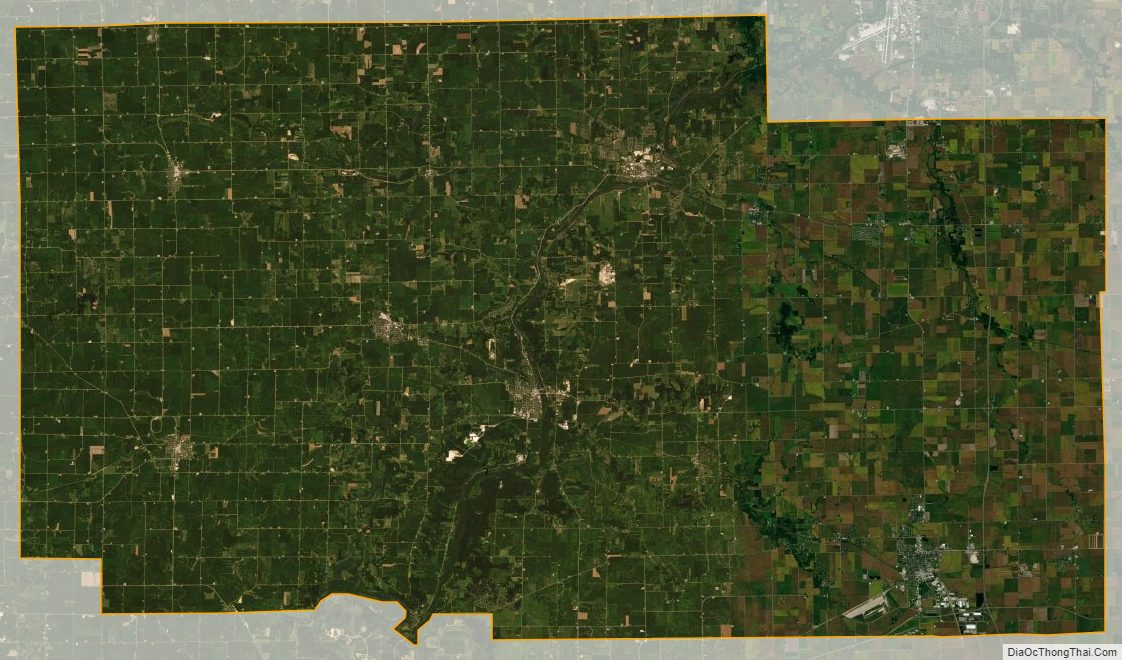
Ogle County Satellite Map
Ogle County Outline Map