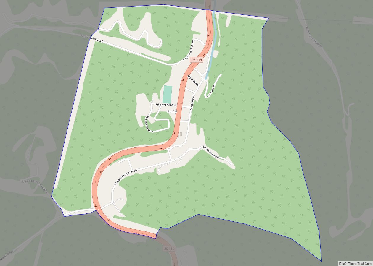
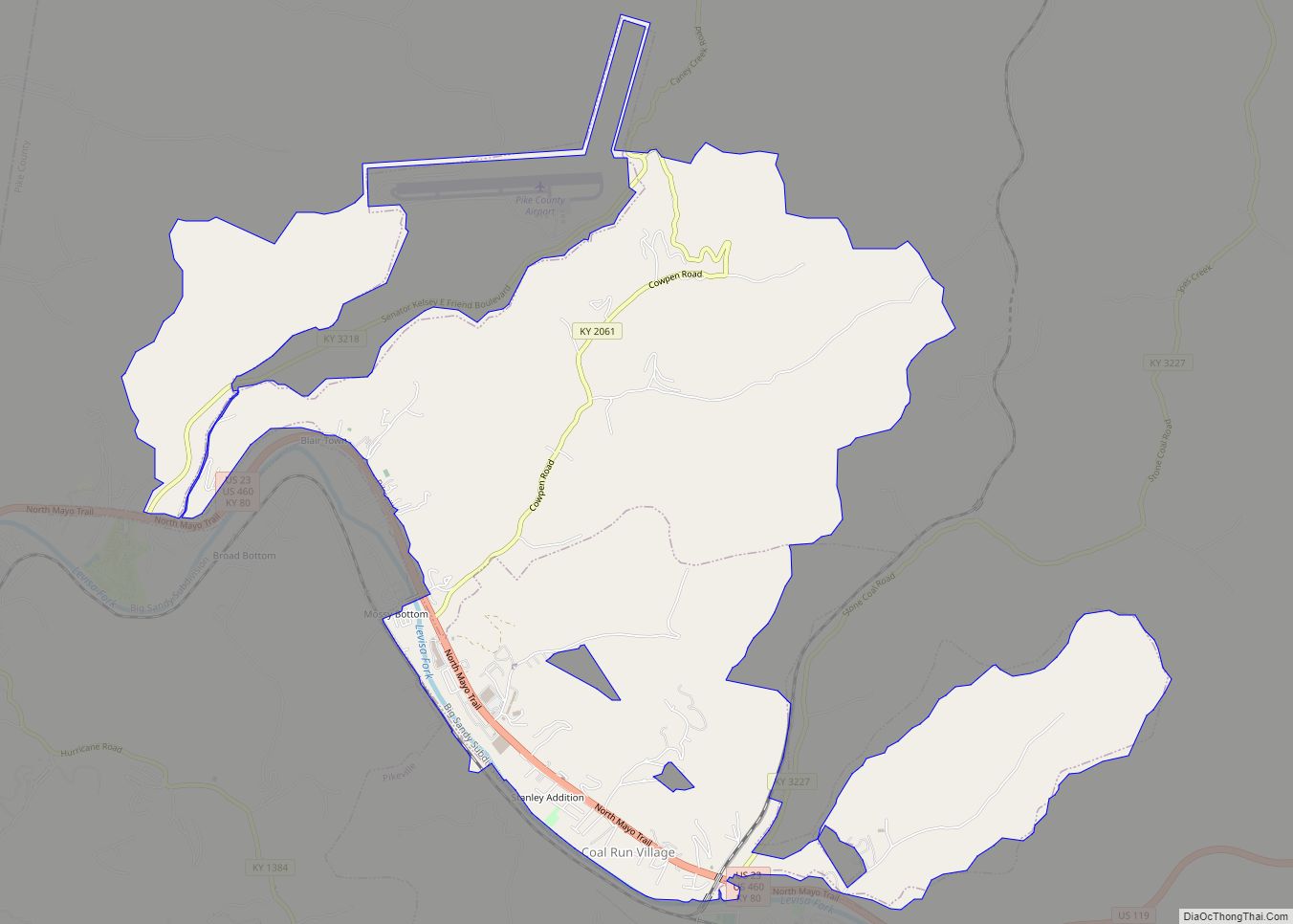
Pike County is a county in the U.S. state of Kentucky. As of the 2020 Census, the population was 58,669. Its county seat is Pikeville. The county was founded in 1821. With regard to the sale of alcohol, it is classified as a moist county–– a county in which alcohol sales are prohibited (a dry county), but containing a “wet” city. There are three cities in the county, Pikeville, Elkhorn City, and Coal Run Village, where package alcohol sales are legal.
| Name: | Pike County |
|---|---|
| FIPS code: | 21-195 |
| State: | Kentucky |
| Founded: | December 19, 1821 |
| Named for: | Zebulon Pike |
| Seat: | Pikeville |
| Largest city: | Pikeville |
| Total Area: | 789 sq mi (2,040 km²) |
| Land Area: | 787 sq mi (2,040 km²) |
| Total Population: | 58,669 |
| Population Density: | 74/sq mi (29/km²) |
| Time zone: | UTC−5 (Eastern) |
| Summer Time Zone (DST): | UTC−4 (EDT) |
| Website: | www.pikecountyky.gov |
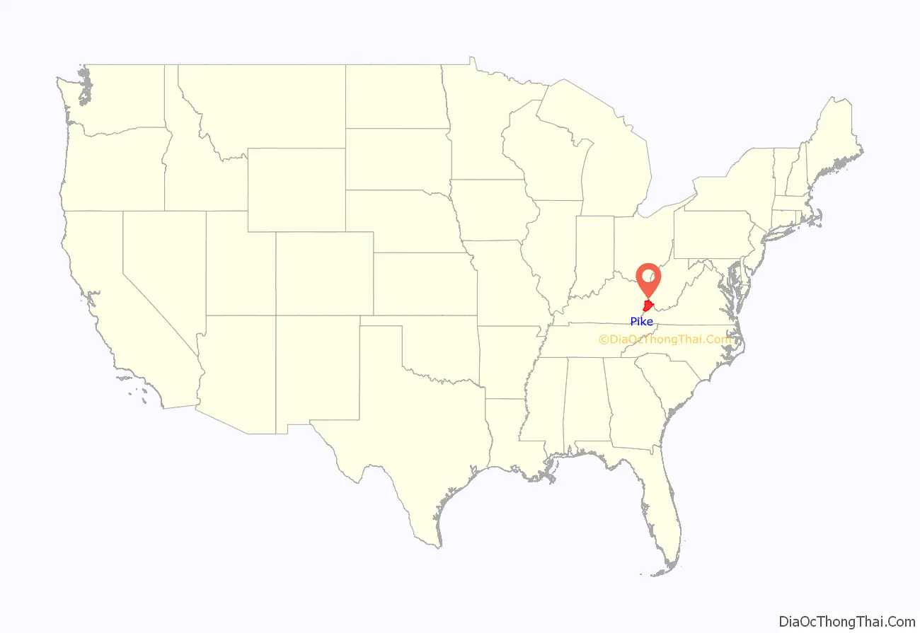
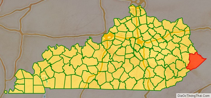
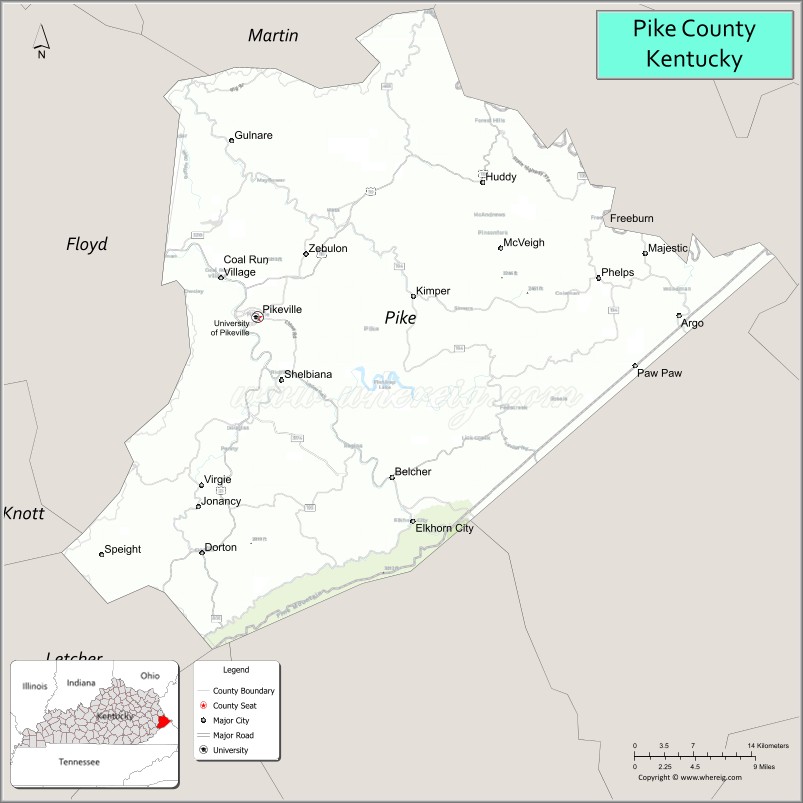
Pike County location map. Where is Pike County?
History
Pike is Kentucky‘s easternmost county and the commonwealth’s largest county by land area. Pike County is the 11th most populous county in Kentucky, immediately preceded by Bullitt County and followed by Christian County. Pike County is Kentucky’s third largest banking center, with financial institutions and holding companies with more than $1 billion in assets. In the five years spanning 1995–2000, personal income increased by 28%, and the county’s per capita income exceeded the national and state average growth rates of the past decade. Pike County is the seventy-first Kentucky county in order of creation.
Pike County was founded on December 19, 1821, from a portion of Floyd County. The county was named for General Zebulon Pike, the explorer who discovered Pikes Peak. Between 1860 and 1891 the Hatfield-McCoy feud raged in Pike and in bordering Mingo County, West Virginia. On May 6, 1893, Pikeville officially became a city and the county seat.
Pike County is also home to Paul E. Patton, former governor of Kentucky.
The Appalachian News Express, published in Pikeville, is preserved on microfilm by the University of Kentucky Libraries. The microfilm holdings are listed in a master negative database on the university’s Libraries Preservation and Digital Programs website.
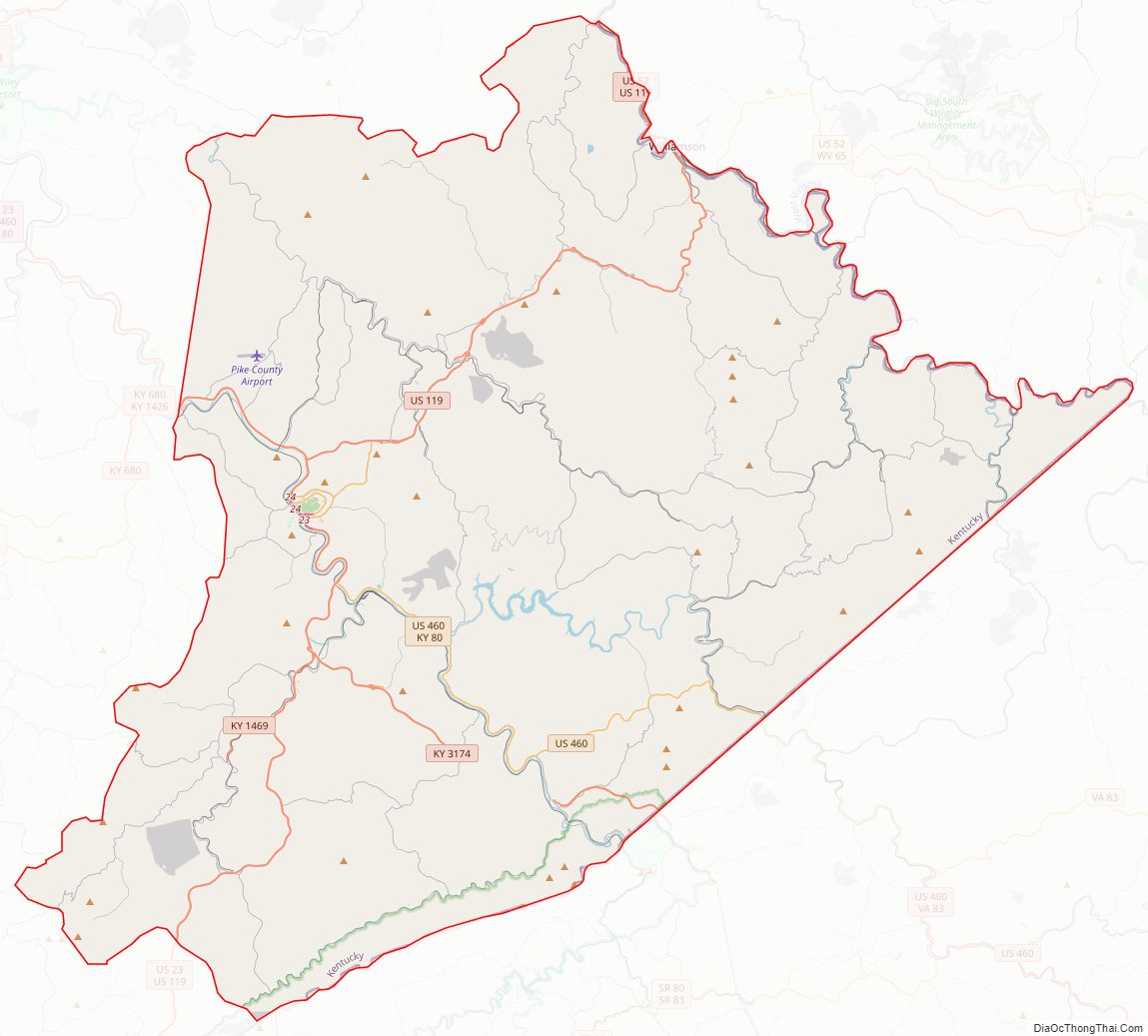
Pike County Road Map
Geography
According to the United States Census Bureau, the county has a total area of 789 square miles (2,040 km), of which 787 square miles (2,040 km) is land and 1.8 square miles (4.7 km) (0.2%) is water. It is the largest county by area in Kentucky.
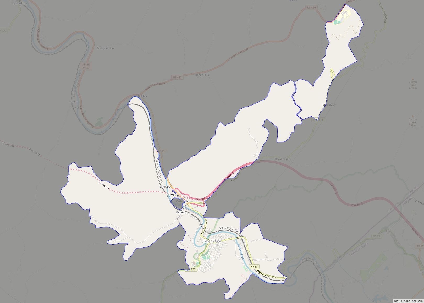
The main population areas of the county include the city of Pikeville and surrounding suburbs, Elkhorn City, and the unincorporated town of South Williamson.
Major highways
Pike County has a total of 486.285 miles of classified roads.
Adjacent counties
- Martin County (north)
- Mingo County, West Virginia (east)
- Buchanan County, Virginia (southeast)
- Dickenson County, Virginia (south)
- Wise County, Virginia (south)
- Letcher County (southwest)
- Knott County (southwest)
- Floyd County (west)
- McDowell County, West Virginia (far east) While not bordering the county directly it is only separated by a nearly 2-mile corridor of Buchanan County, Virginia
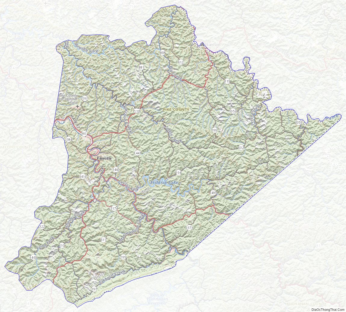
Pike County Topographic Map
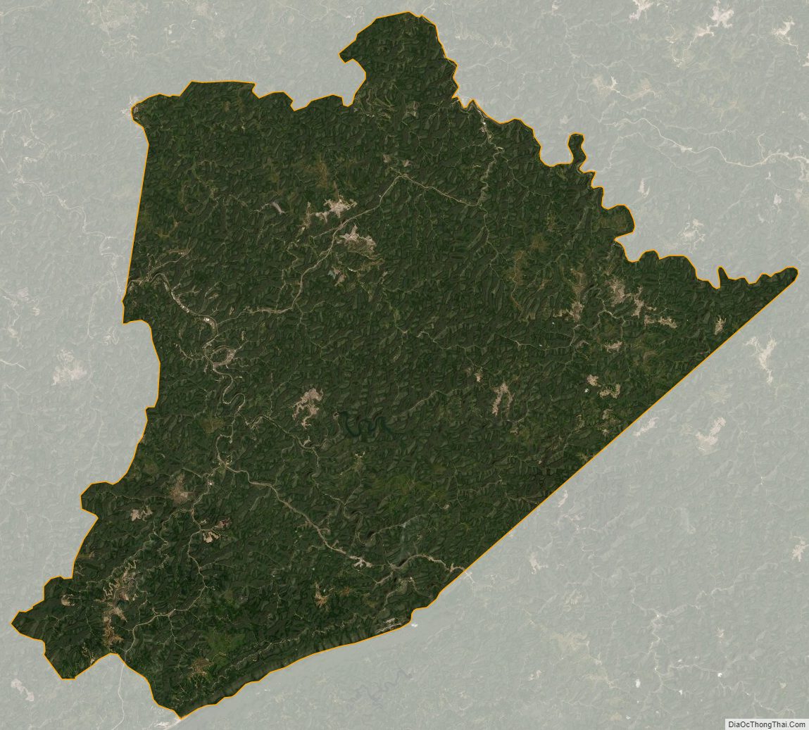
Pike County Satellite Map
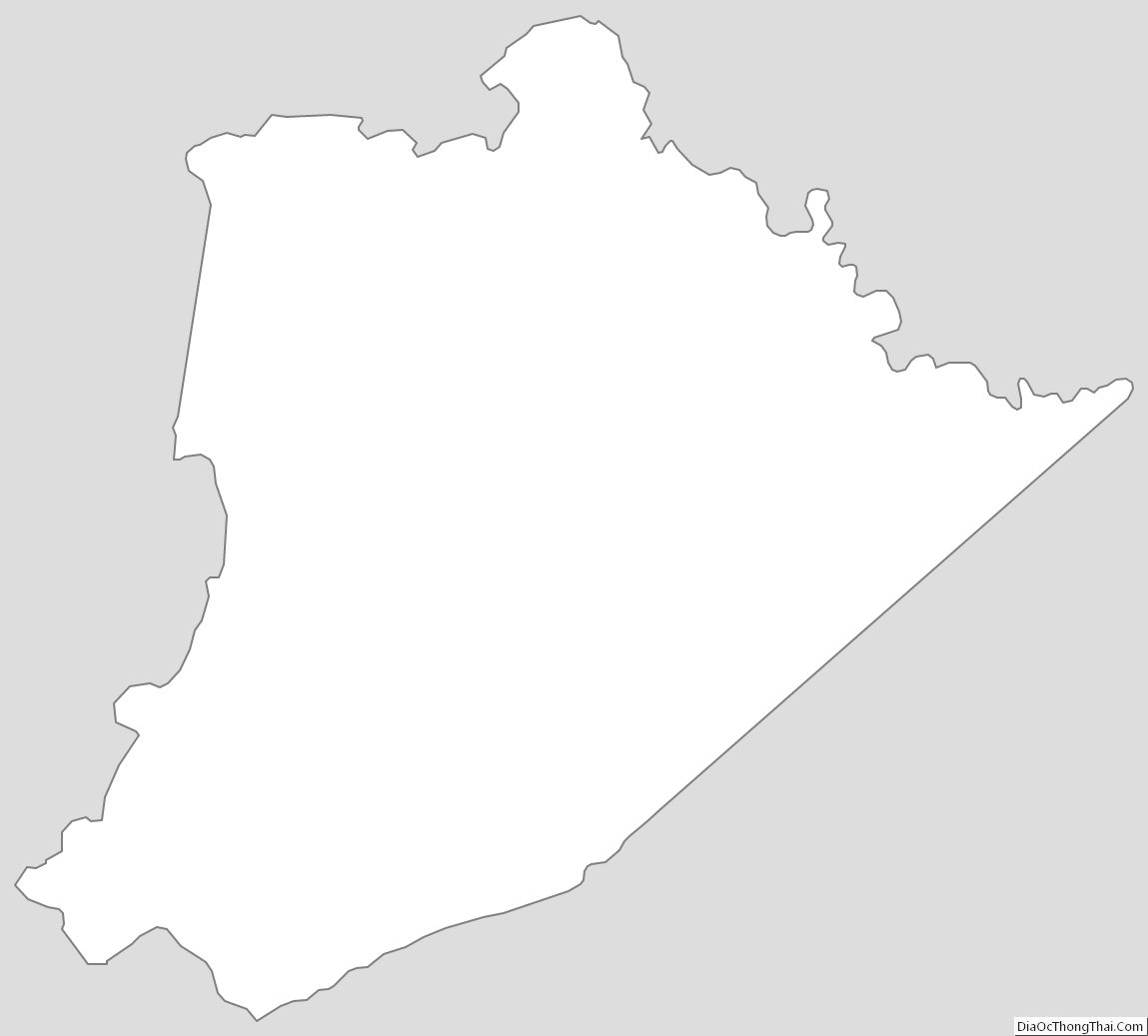
Pike County Outline Map