Pikeville (/ˈpaɪkvəl/) is a city in and the county seat of Pike County, Kentucky, United States. During the 2020 U.S. Census, the population within Pikeville’s city limits was 7,754. In Kentucky’s current city classification system, Pikeville is a home rule-class city, a category that includes all of the state’s more than 400 cities except for the two largest, Louisville and Lexington.
| Name: | Pikeville city |
|---|---|
| LSAD Code: | 25 |
| LSAD Description: | city (suffix) |
| State: | Kentucky |
| County: | Pike County |
| Incorporated: | 1848 |
| Elevation: | 679 ft (207 m) |
| Total Area: | 20.99 sq mi (54.36 km²) |
| Land Area: | 20.99 sq mi (54.36 km²) |
| Water Area: | 0.00 sq mi (0.00 km²) |
| Total Population: | 7,754 |
| Population Density: | 369.41/sq mi (142.63/km²) |
| ZIP code: | 41501-41502 |
| Area code: | 606 |
| FIPS code: | 2160852 |
| GNISfeature ID: | 0510155 |
| Website: | www.pikevilleky.gov www.whypikeville.com www.visitpikeville.com |
Online Interactive Map
Click on ![]() to view map in "full screen" mode.
to view map in "full screen" mode.
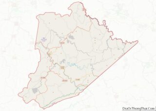
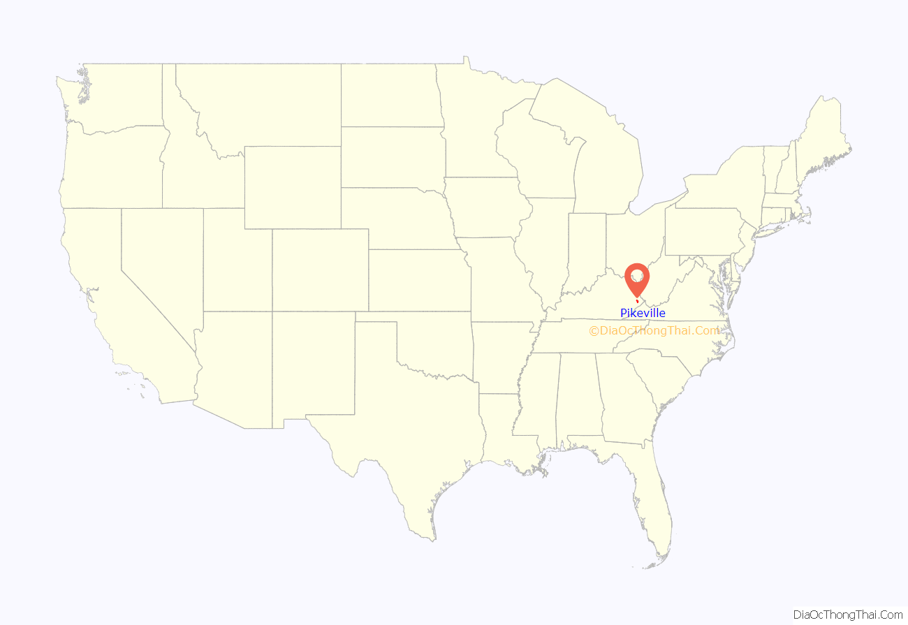
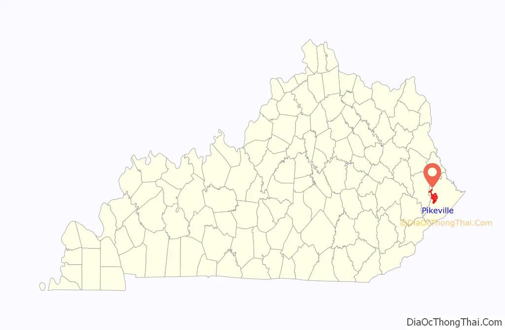
Pikeville location map. Where is Pikeville city?
History
On March 25, 1822, state officials decided to build a new county seat named “Liberty”, 1.5 miles (2.4 km) below the mouth of the Russell Fork River. Public disapproval of the site led a new decision on December 24, 1823, to establish the county seat on land donated by local farmer Elijah Adkins. This settlement was established as the town of Pike after the county in 1824. This was changed in 1829 to Piketon and the town was incorporated under that name in 1848. In 1850, this was changed to the present Pikeville. Pikeville was host to a part of the Hatfield-McCoy feud, and patriarch Randall McCoy as well as his wife and daughter are buried on a hillside overlooking the town.
The National Civic League designated Pikeville as an All-American City in 1965.
From 1973 to 1987, the Pikeville Cut-Through was constructed immediately west of downtown. The massive rock cut is one of the largest civil engineering projects in the western hemisphere, moving nearly 18,000,000 cubic yards (14,000,000 m) of soil and rock. The project alleviated traffic congestion in downtown and eliminated flooding by rerouting the Levisa Fork River.
From 1982 to 1984, Pikeville was home to the Pikeville Cubs and Pikeville Brewers. Pikeville played as a member of the Rookie level Appalachian League. Pikeville was an affiliate of the Milwaukee Brewers (1982) and Chicago Cubs (1983–1984). Baseball Hall of Fame member Greg Maddux played for the 1984 Pikeville Cubs in his first professional season.
The city has been a center of rapid development in Eastern Kentucky since the 1990s. Pikeville College (now the University of Pikeville) opened the Kentucky College of Osteopathic Medicine in 1997. The university also opened the Kentucky College of Optometry, the first optometry school in Central Appalachia, in the fall of 2016. In October 2005, the 7,000 seat, multi-purpose Appalachian Wireless Arena opened in downtown. Pikeville Medical Center has established itself as a regional healthcare center. In 2014, a new 11-story clinic and a 10-story parking structure was completed at a cost of $150 million. The hospital has also become a member of the Mayo Clinic Care Network. In 2013, construction began on a shopping center known as Pikeville Commons. The first stores opened in the shopping center in October 2014.
Late 2017 saw several announcements regarding tenants for the recently opened Kentucky Enterprise Industrial Park. Following an announcement on October 27, 2017, construction has begun on a 60,000 square foot manufacturing facility to be owned and operated by SilverLiner, whose primary business is expected to be the manufacture and assembly of tanks for tanker trucks.
In September 2018, Pikeville’s City government was named 2018 KLC City Government of the Year by the Kentucky League of Cities. This was the inaugural year for the award and was intended to recognize “a city that has done something transformational and our first ever recipient certainly demonstrates a city making a huge impact on its region.”
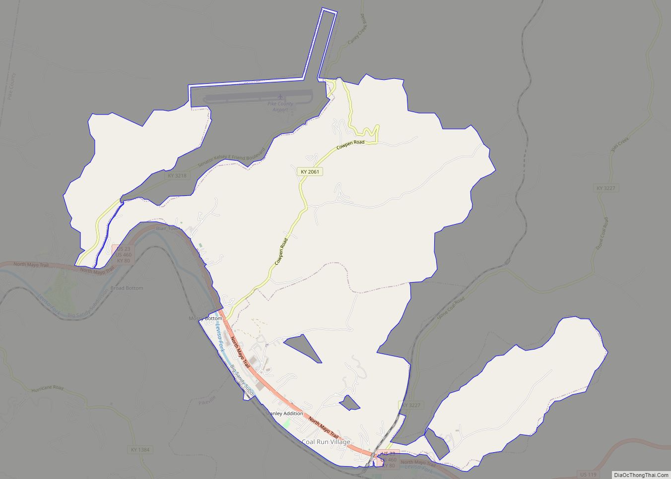
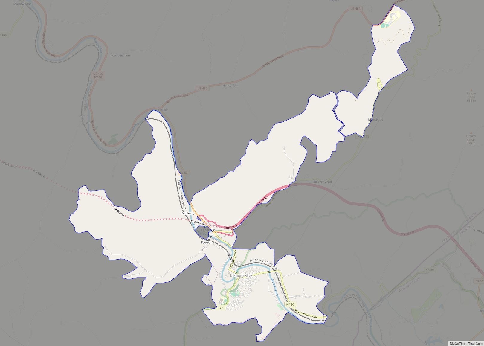
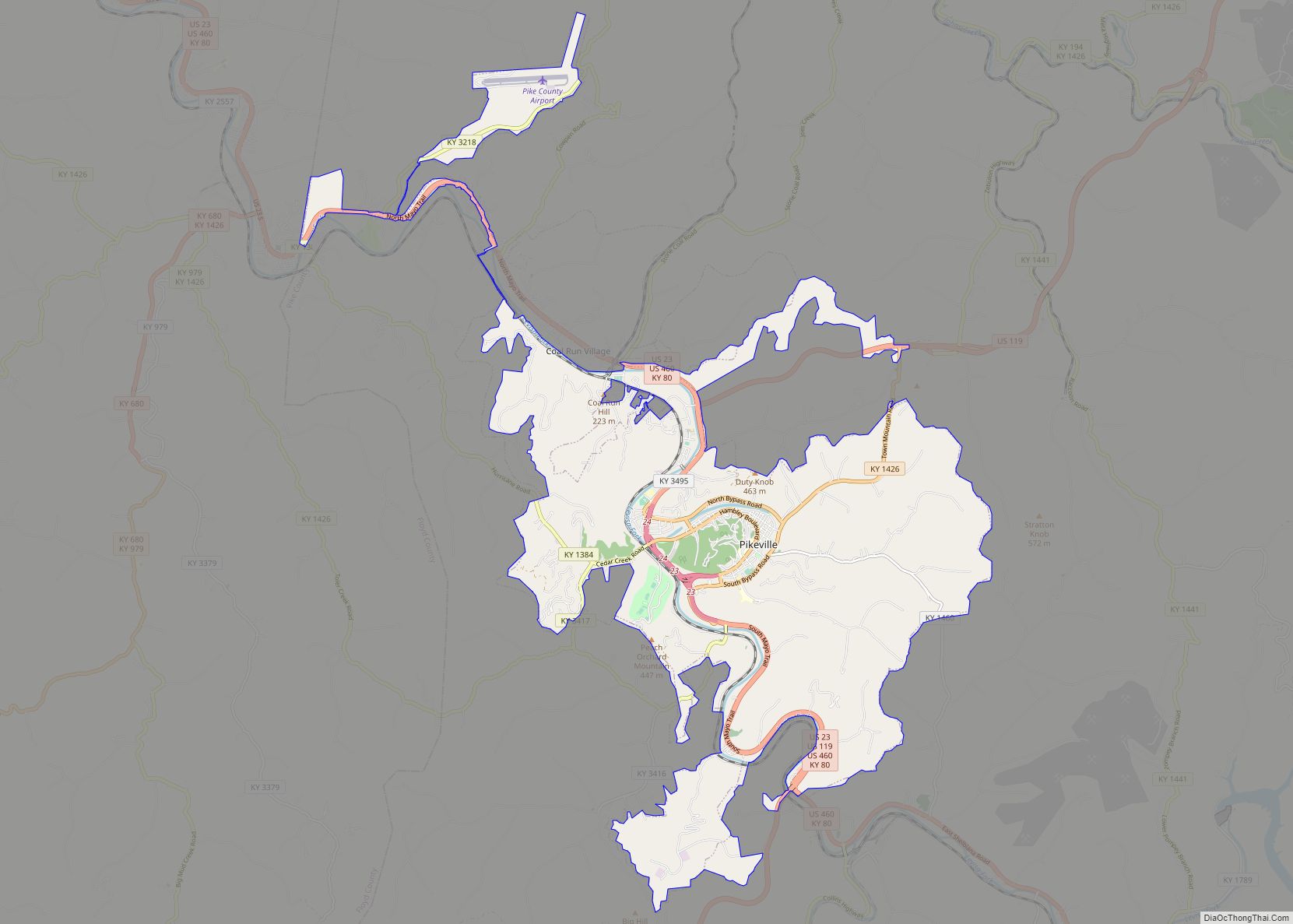
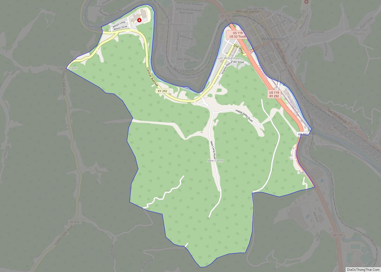
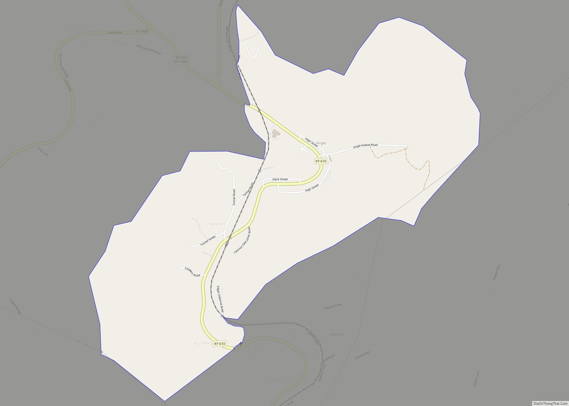
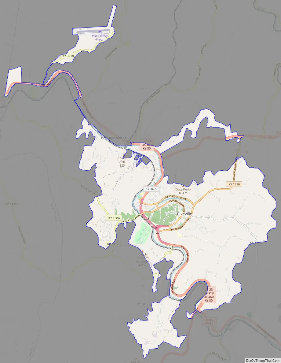
Pikeville Road Map
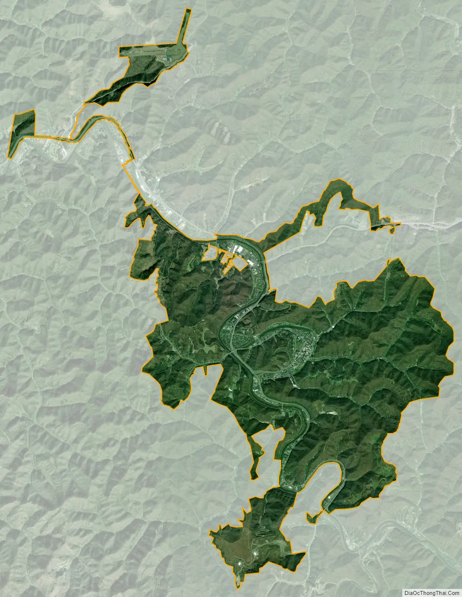
Pikeville city Satellite Map
Geography
Pikeville is located at 37°28′45″N 82°31′08″W / 37.47917°N 82.51889°W / 37.47917; -82.51889 (37.477094, −82.530111). According to the U.S. Census Bureau, the city covers a total land area of 15.4 square miles (40 km), all land. As of March 2009, Pikeville set its new city limits to be 0.3-mile from its county line. This significantly affected the city of Coal Run Village, which was previously on the city limit of Pikeville.
The city is located in the Appalachian Mountains, along the Levisa Fork of the Big Sandy River. The downtown area is built in a narrow valley in a bend of the Levisa Fork that was bypassed in 1987 with the completion of the Pikeville Cut-Through, while places such as Weddington Square Plaza are built in a broader part of the river valley.
Climate
Pikeville has a humid subtropical climate, abbreviated “Cfa” on climate maps.
See also
Map of Kentucky State and its subdivision:- Adair
- Allen
- Anderson
- Ballard
- Barren
- Bath
- Bell
- Boone
- Bourbon
- Boyd
- Boyle
- Bracken
- Breathitt
- Breckinridge
- Bullitt
- Butler
- Caldwell
- Calloway
- Campbell
- Carlisle
- Carroll
- Carter
- Casey
- Christian
- Clark
- Clay
- Clinton
- Crittenden
- Cumberland
- Daviess
- Edmonson
- Elliott
- Estill
- Fayette
- Fleming
- Floyd
- Franklin
- Fulton
- Gallatin
- Garrard
- Grant
- Graves
- Grayson
- Green
- Greenup
- Hancock
- Hardin
- Harlan
- Harrison
- Hart
- Henderson
- Henry
- Hickman
- Hopkins
- Jackson
- Jefferson
- Jessamine
- Johnson
- Kenton
- Knott
- Knox
- Larue
- Laurel
- Lawrence
- Lee
- Leslie
- Letcher
- Lewis
- Lincoln
- Livingston
- Logan
- Lyon
- Madison
- Magoffin
- Marion
- Marshall
- Martin
- Mason
- McCracken
- McCreary
- McLean
- Meade
- Menifee
- Mercer
- Metcalfe
- Monroe
- Montgomery
- Morgan
- Muhlenberg
- Nelson
- Nicholas
- Ohio
- Oldham
- Owen
- Owsley
- Pendleton
- Perry
- Pike
- Powell
- Pulaski
- Robertson
- Rockcastle
- Rowan
- Russell
- Scott
- Shelby
- Simpson
- Spencer
- Taylor
- Todd
- Trigg
- Trimble
- Union
- Warren
- Washington
- Wayne
- Webster
- Whitley
- Wolfe
- Woodford
- Alabama
- Alaska
- Arizona
- Arkansas
- California
- Colorado
- Connecticut
- Delaware
- District of Columbia
- Florida
- Georgia
- Hawaii
- Idaho
- Illinois
- Indiana
- Iowa
- Kansas
- Kentucky
- Louisiana
- Maine
- Maryland
- Massachusetts
- Michigan
- Minnesota
- Mississippi
- Missouri
- Montana
- Nebraska
- Nevada
- New Hampshire
- New Jersey
- New Mexico
- New York
- North Carolina
- North Dakota
- Ohio
- Oklahoma
- Oregon
- Pennsylvania
- Rhode Island
- South Carolina
- South Dakota
- Tennessee
- Texas
- Utah
- Vermont
- Virginia
- Washington
- West Virginia
- Wisconsin
- Wyoming