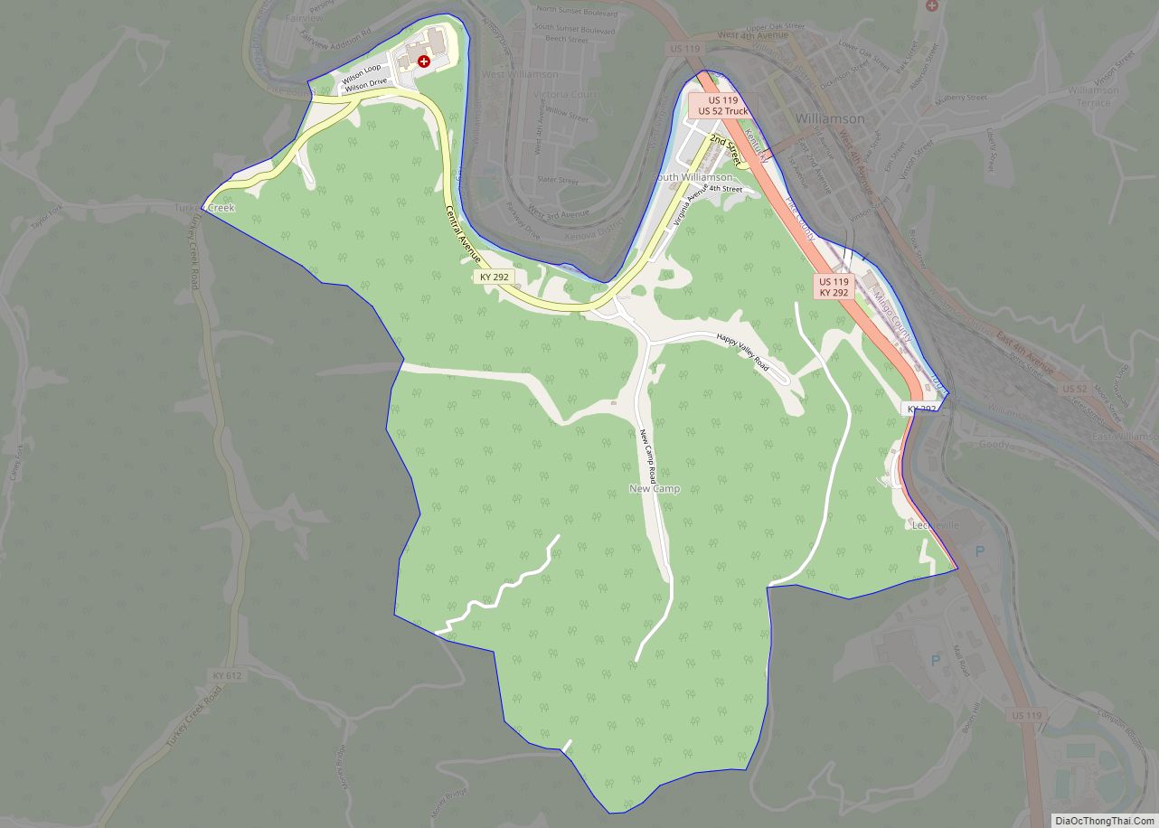
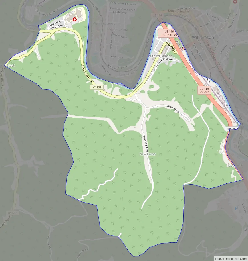
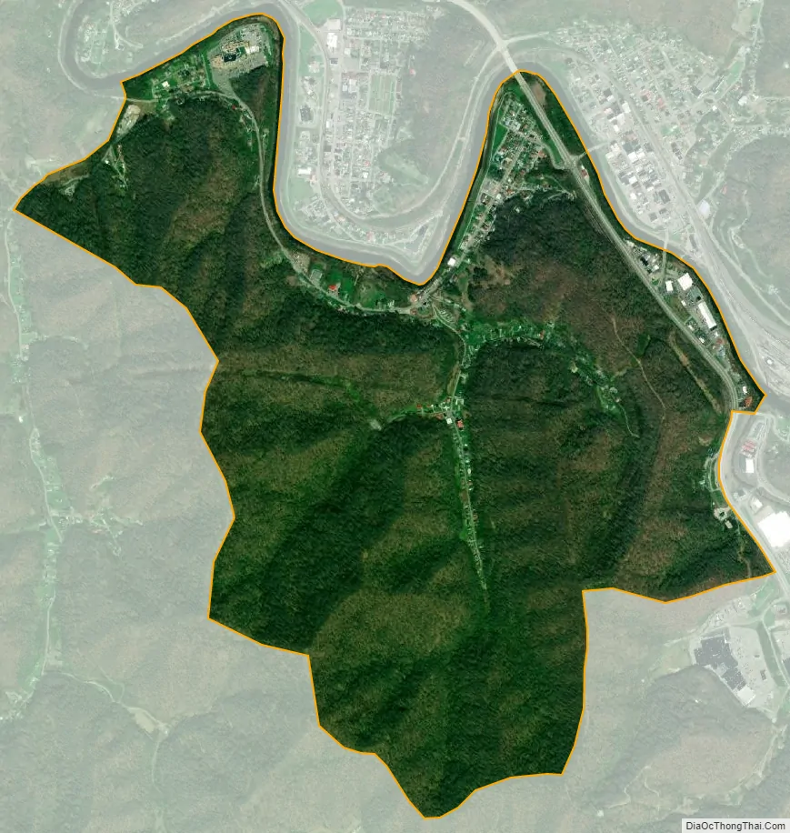
South Williamson is a census-designated place (CDP) in the Appalachian Mountains of northeastern Pike County, Kentucky, United States, on the border with West Virginia. It is separated from Williamson, West Virginia by the Tug Fork River. The community is located near U.S. Route 119 about 23 miles (37 km) east of Pikeville, Kentucky and 28 miles (45 km) southwest of Logan, West Virginia.
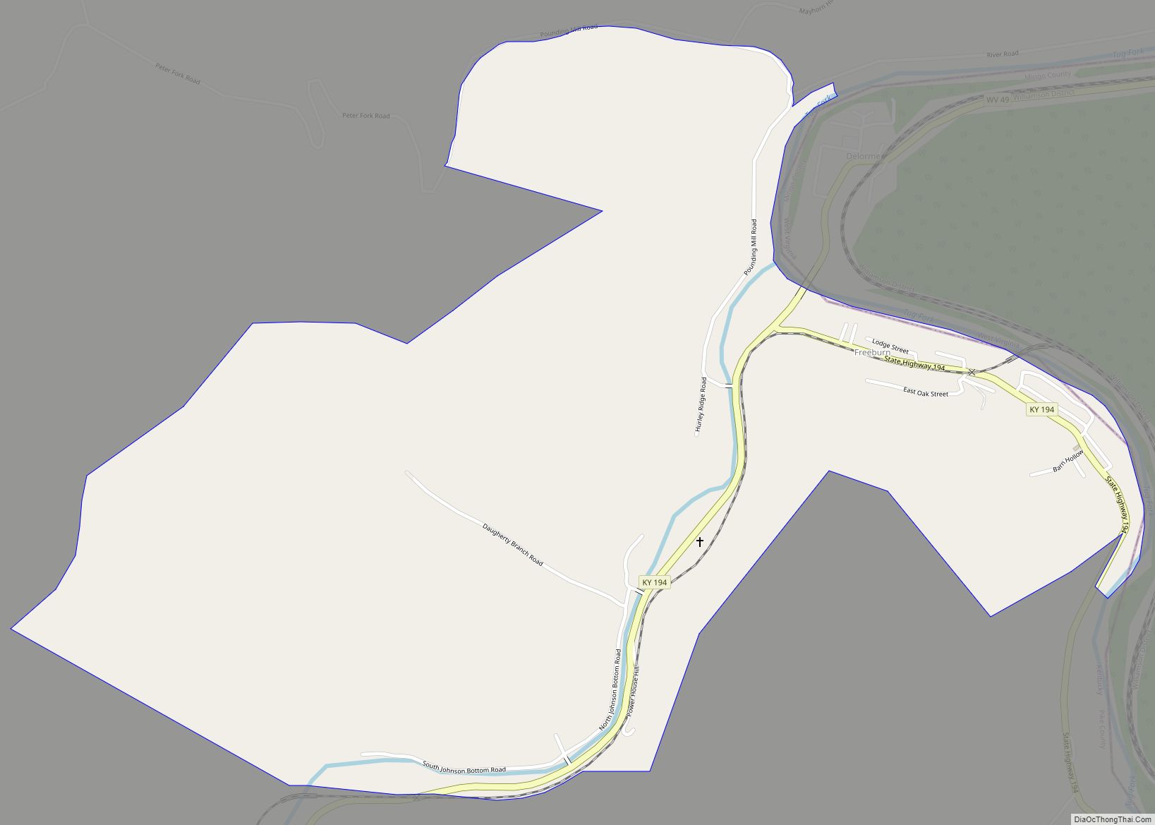
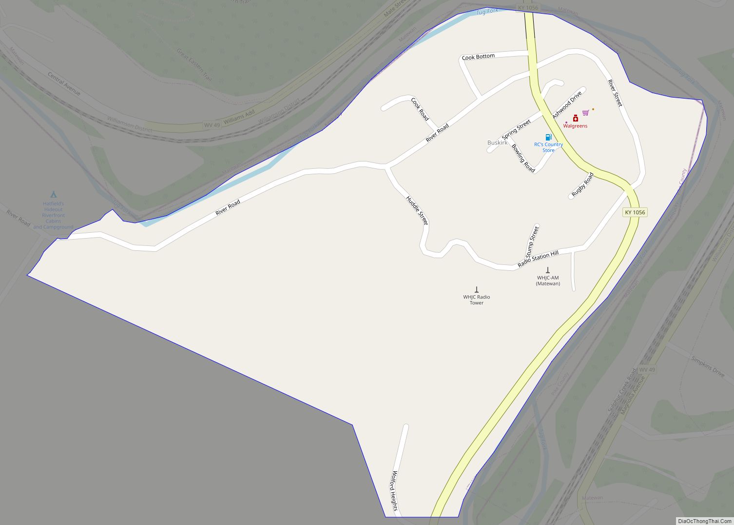
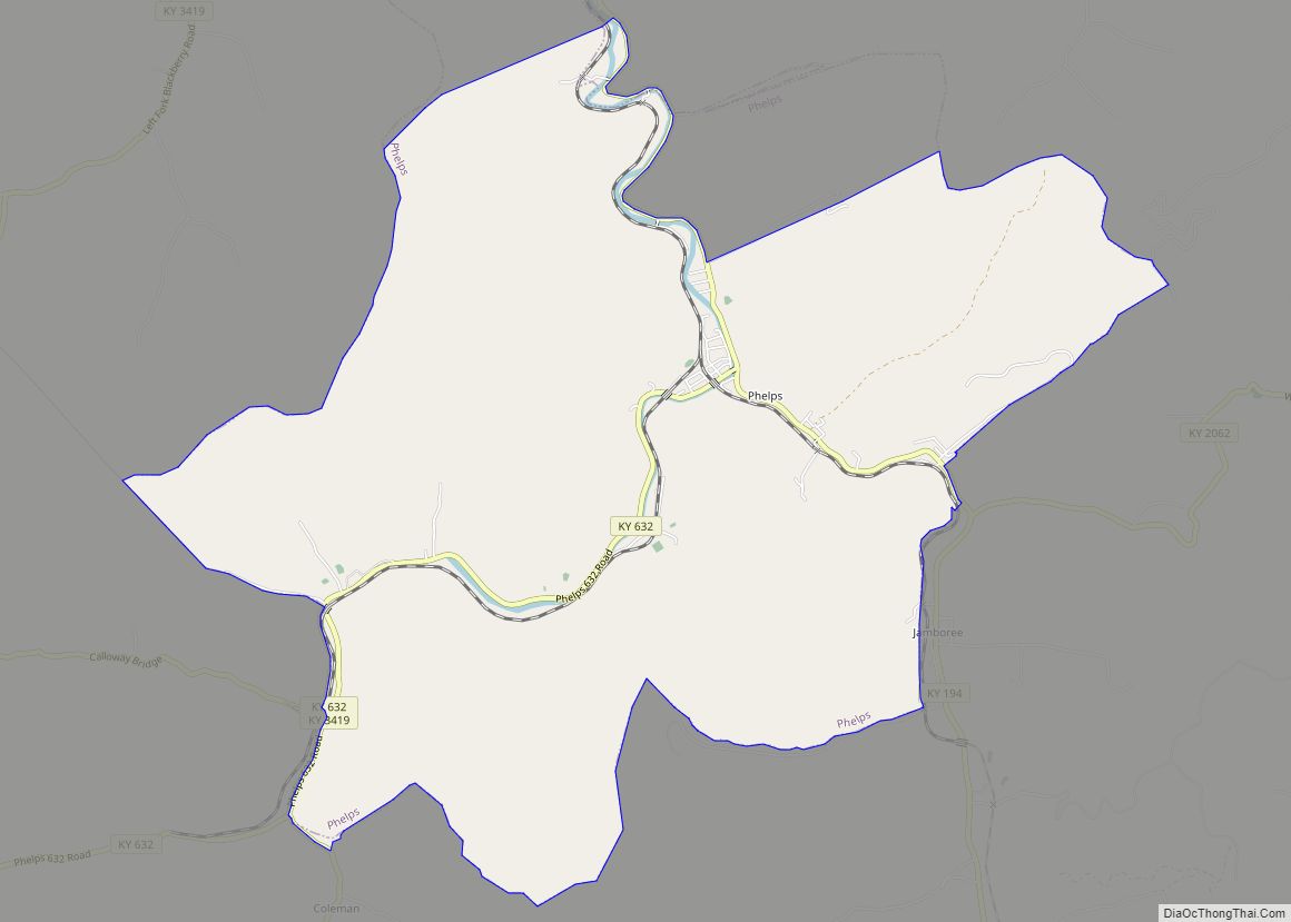
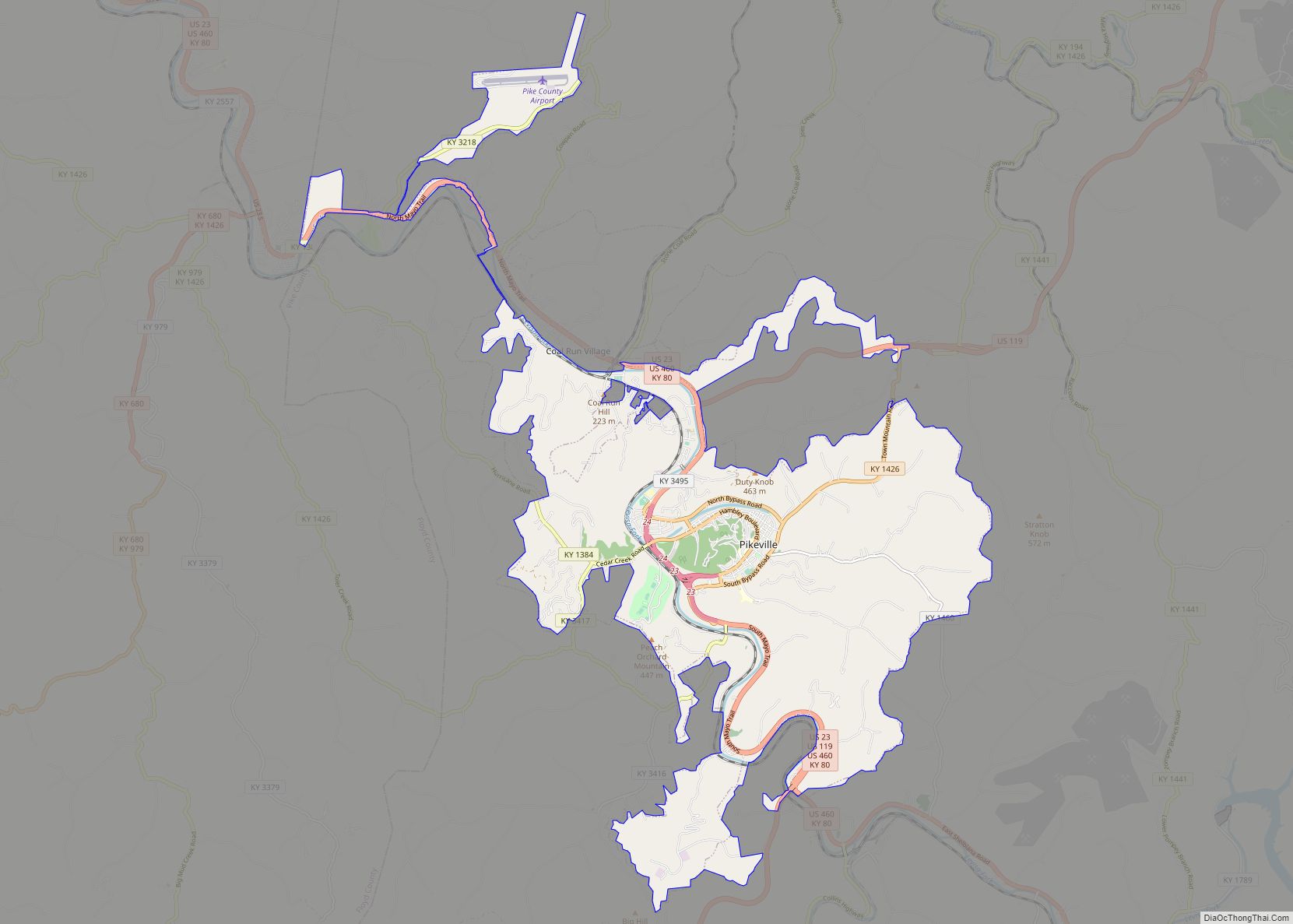
The South Williamson area includes the surrounding Kentucky communities of Goody, Forest Hills, Toler, and Belfry. In 1990s, residents of the area voted down a proposal to incorporate the area. Another incorporation attempt was proposed in 2015 and the name Johnsonville was proposed for the new incorporated town.
The local economy is largely fueled by coal mining, transportation, health care, and retail.
Southside Mall is located in South Williamson.
| Name: | South Williamson CDP |
|---|---|
| LSAD Code: | 57 |
| LSAD Description: | CDP (suffix) |
| State: | Kentucky |
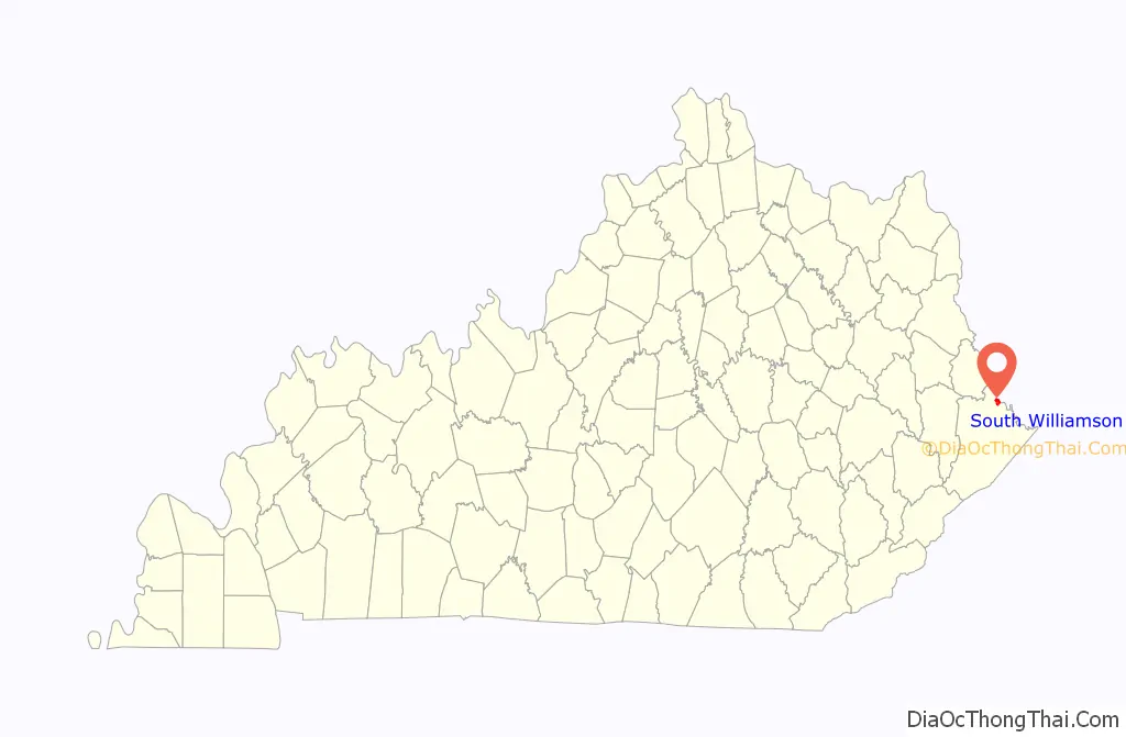
| County: | Pike County |
| Elevation: | 705 ft (215 m) |
| Total Area: | 1.97 sq mi (5.11 km²) |
| Land Area: | 1.97 sq mi (5.11 km²) |
| Water Area: | 0.00 sq mi (0.00 km²) |
| Total Population: | 562 |
| Population Density: | 284.70/sq mi (109.92/km²) |
| Area code: | 606 |
| FIPS code: | 2172264 |
| GNISfeature ID: | 2629682 |
Online Interactive Map
Click on ![]() to view map in "full screen" mode.
to view map in "full screen" mode.
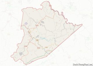
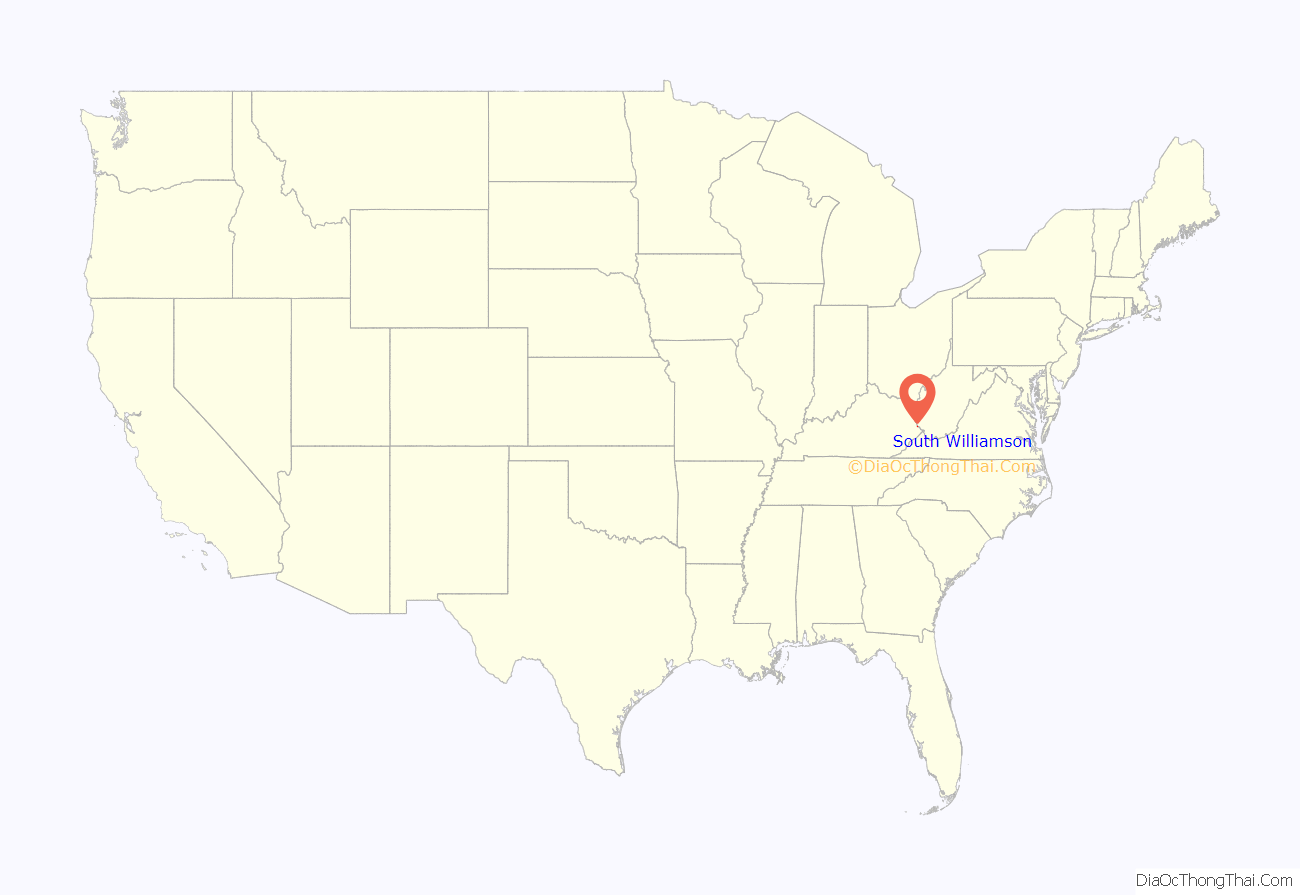
South Williamson location map. Where is South Williamson CDP?
History
In the late 19th century, Pike County and bordering Mingo County, West Virginia provided the setting for the Hatfield-McCoy feud, a bitter feud waged between two feuding families between 1878 and 1891 that has become American history.
Flooding
South Williamson is protected by a floodwall, built by the US Army Corps of Engineers in response to a devastating flood along the Tug Fork River in 1977. There have only been two uses of the gates thus far; the first occurred in 2002 during a major flood in the region, and the second in 2003, due to anticipation of the rising river getting higher.
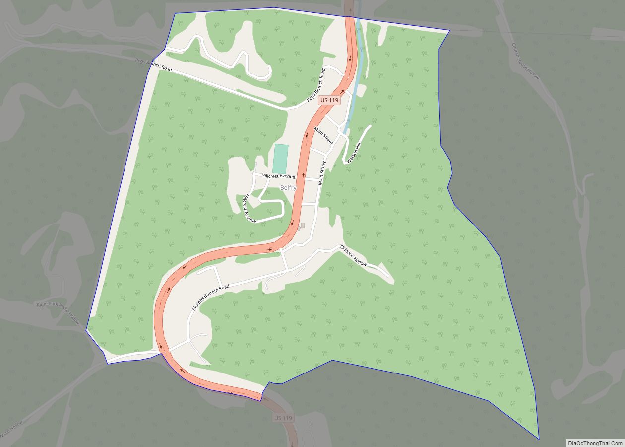
South Williamson Road Map
South Williamson city Satellite Map
Geography
South Williamson is located at 37°40′14″N 82°17′5″W / 37.67056°N 82.28472°W / 37.67056; -82.28472 (37.67059, -82.28465).
See also
Map of Kentucky State and its subdivision:- Adair
- Allen
- Anderson
- Ballard
- Barren
- Bath
- Bell
- Boone
- Bourbon
- Boyd
- Boyle
- Bracken
- Breathitt
- Breckinridge
- Bullitt
- Butler
- Caldwell
- Calloway
- Campbell
- Carlisle
- Carroll
- Carter
- Casey
- Christian
- Clark
- Clay
- Clinton
- Crittenden
- Cumberland
- Daviess
- Edmonson
- Elliott
- Estill
- Fayette
- Fleming
- Floyd
- Franklin
- Fulton
- Gallatin
- Garrard
- Grant
- Graves
- Grayson
- Green
- Greenup
- Hancock
- Hardin
- Harlan
- Harrison
- Hart
- Henderson
- Henry
- Hickman
- Hopkins
- Jackson
- Jefferson
- Jessamine
- Johnson
- Kenton
- Knott
- Knox
- Larue
- Laurel
- Lawrence
- Lee
- Leslie
- Letcher
- Lewis
- Lincoln
- Livingston
- Logan
- Lyon
- Madison
- Magoffin
- Marion
- Marshall
- Martin
- Mason
- McCracken
- McCreary
- McLean
- Meade
- Menifee
- Mercer
- Metcalfe
- Monroe
- Montgomery
- Morgan
- Muhlenberg
- Nelson
- Nicholas
- Ohio
- Oldham
- Owen
- Owsley
- Pendleton
- Perry
- Pike
- Powell
- Pulaski
- Robertson
- Rockcastle
- Rowan
- Russell
- Scott
- Shelby
- Simpson
- Spencer
- Taylor
- Todd
- Trigg
- Trimble
- Union
- Warren
- Washington
- Wayne
- Webster
- Whitley
- Wolfe
- Woodford
- Alabama
- Alaska
- Arizona
- Arkansas
- California
- Colorado
- Connecticut
- Delaware
- District of Columbia
- Florida
- Georgia
- Hawaii
- Idaho
- Illinois
- Indiana
- Iowa
- Kansas
- Kentucky
- Louisiana
- Maine
- Maryland
- Massachusetts
- Michigan
- Minnesota
- Mississippi
- Missouri
- Montana
- Nebraska
- Nevada
- New Hampshire
- New Jersey
- New Mexico
- New York
- North Carolina
- North Dakota
- Ohio
- Oklahoma
- Oregon
- Pennsylvania
- Rhode Island
- South Carolina
- South Dakota
- Tennessee
- Texas
- Utah
- Vermont
- Virginia
- Washington
- West Virginia
- Wisconsin
- Wyoming