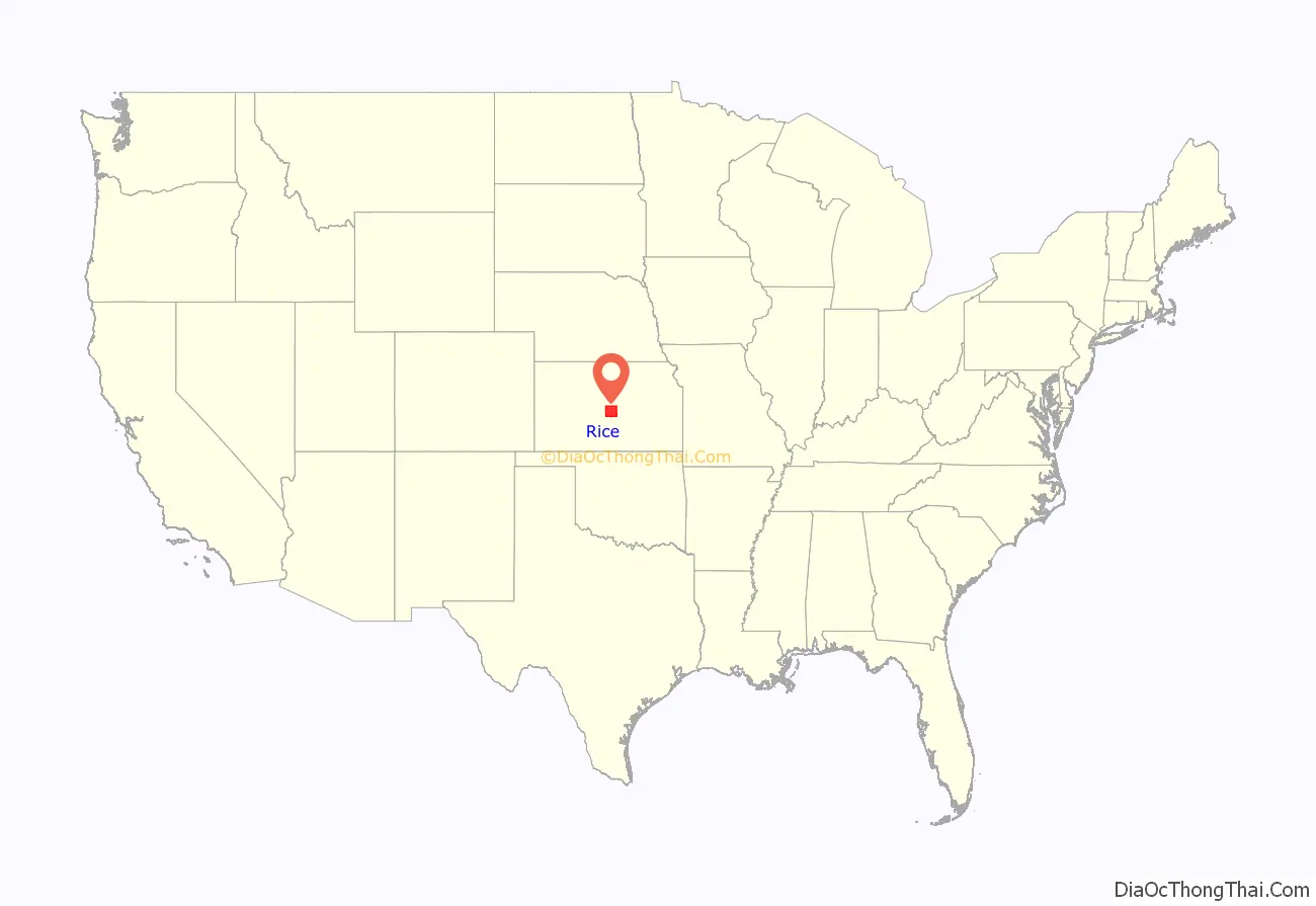
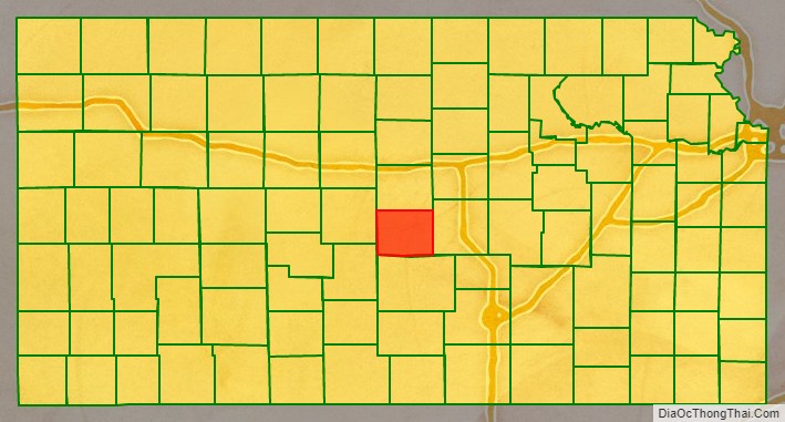
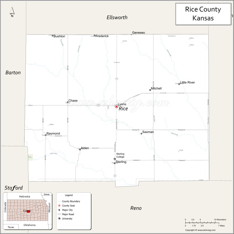
Rice County (standard abbreviation: RC) is a county located in the U.S. state of Kansas. As of the 2020 census, the county population was 9,427. The largest city and county seat is Lyons. The county was named in memory of Samuel Allen Rice, Brigadier-General, United States volunteers, killed April 30, 1864, at Jenkins Ferry, Arkansas.
| Name: | Rice County |
|---|---|
| FIPS code: | 20-159 |
| State: | Kansas |
| Founded: | February 26, 1867 |
| Named for: | Samuel Allen Rice |
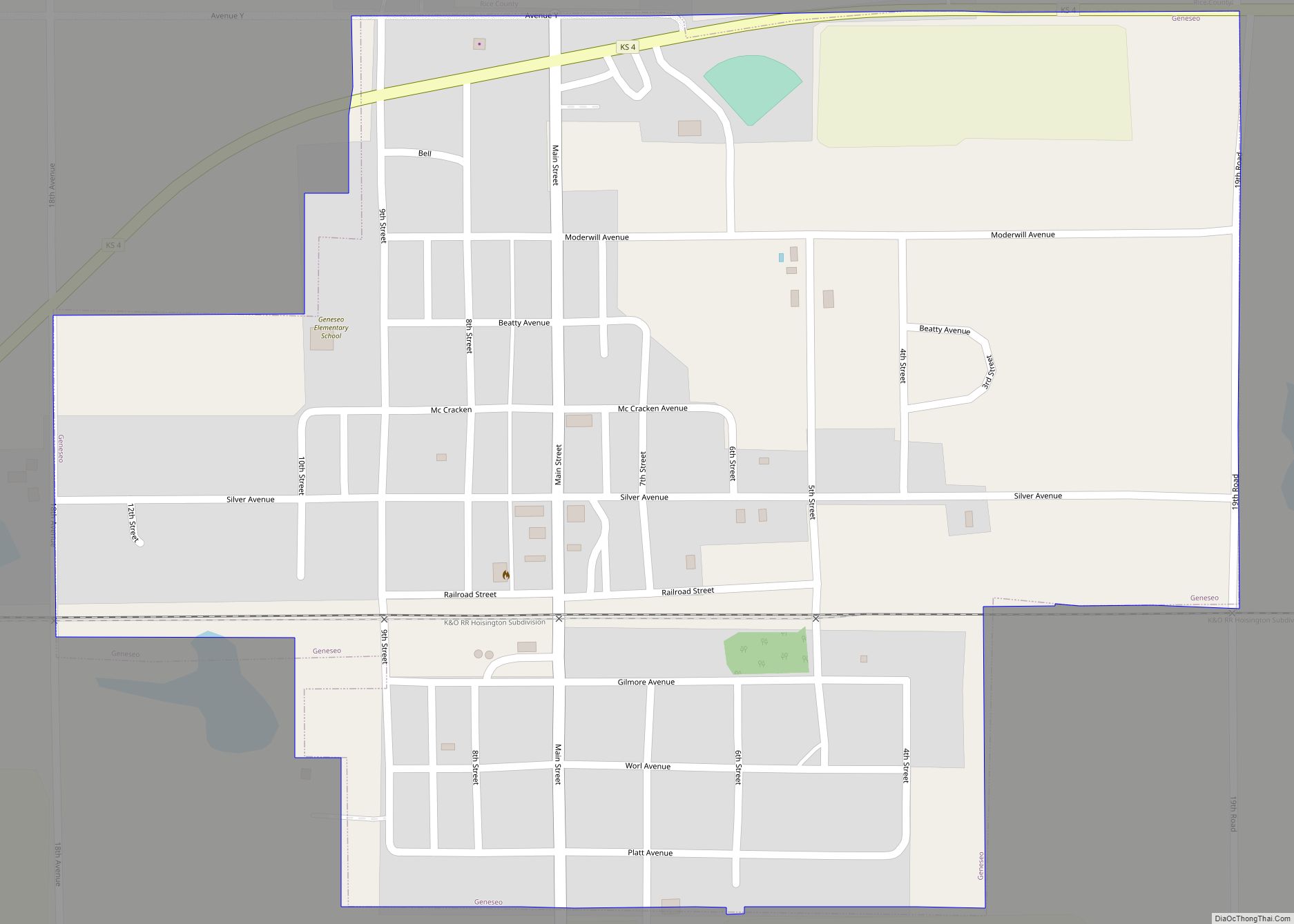
| Seat: | Lyons |
| Largest city: | Lyons |
| Total Area: | 728 sq mi (1,890 km²) |
| Land Area: | 726 sq mi (1,880 km²) |
| Total Population: | 9,427 |
| Population Density: | 13.0/sq mi (5.0/km²) |
| Time zone: | UTC−6 (Central) |
| Summer Time Zone (DST): | UTC−5 (CDT) |
| Website: | ricecounty.us |
Rice County location map. Where is Rice County?
History
Early history
For many millennia, the Great Plains of North America was inhabited by nomadic Native Americans. From the 16th century to 18th century, the Kingdom of France claimed ownership of large parts of North America. In 1762, after the French and Indian War, France secretly ceded New France to Spain, per the Treaty of Fontainebleau.
19th century
In 1802, Spain returned most of the land to France, but keeping title to about 7,500 square miles. In 1803, most of the land for modern day Kansas was acquired by the United States from France as part of the 828,000 square mile Louisiana Purchase for 2.83 cents per acre.
In 1854, the Kansas Territory was organized, then in 1861 Kansas became the 34th U.S. state. In 1867, Rice County was established.
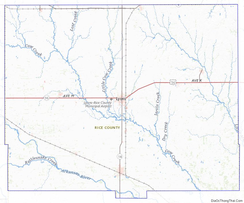
The Santa Fe Trail followed the route of present-day U.S. Route 56. Ruts in the earth from the trail are still visible in several locations. (Ralph’s Ruts are visible in aerial photos at 38°21′35″N 98°25′20″W / 38.35959264°N 98.42225502°W / 38.35959264; -98.42225502.)
In 1878, Atchison, Topeka and Santa Fe Railway and parties from Marion County and McPherson County chartered the Marion and McPherson Railway Company. In 1879, a branch line was built from Florence to McPherson, in 1880 it was extended to Lyons, in 1881 it was extended to Ellinwood. The line was leased and operated by the Atchison, Topeka and Santa Fe Railway. The line from Florence to Marion, was abandoned in 1968. In 1992, the line from Marion to McPherson was sold to Central Kansas Railway. In 1993, after heavy flood damage, the line from Marion to McPherson was abandoned. The original branch line connected Florence, Marion, Canada, Hillsboro, Lehigh, Canton, Galva, McPherson, Conway, Windom, Little River, Mitchell, Lyons, Chase, Ellinwood.
Samuel Allen Rice in 1864
1845 Santa Fe Trail crossing Rice County
1915-1918 Railroad Map of Rice County
Rice County Road Map
Geography
According to the U.S. Census Bureau, the county has a total area of 728 square miles (1,890 km), of which 726 square miles (1,880 km) is land and 1.7 square miles (4.4 km) (0.2%) is water.
Adjacent counties
- Ellsworth County (north)
- McPherson County (east)
- Reno County (south)
- Stafford County (southwest)
- Barton County (northwest)
National protected area
- Quivira National Wildlife Refuge (part)
Rice County Topographic Map
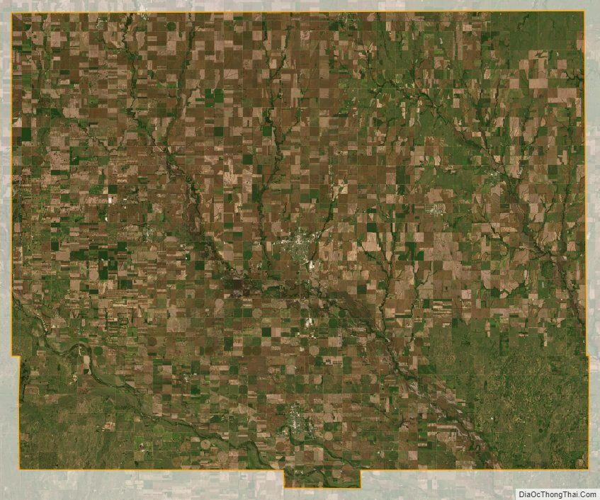
Rice County Satellite Map
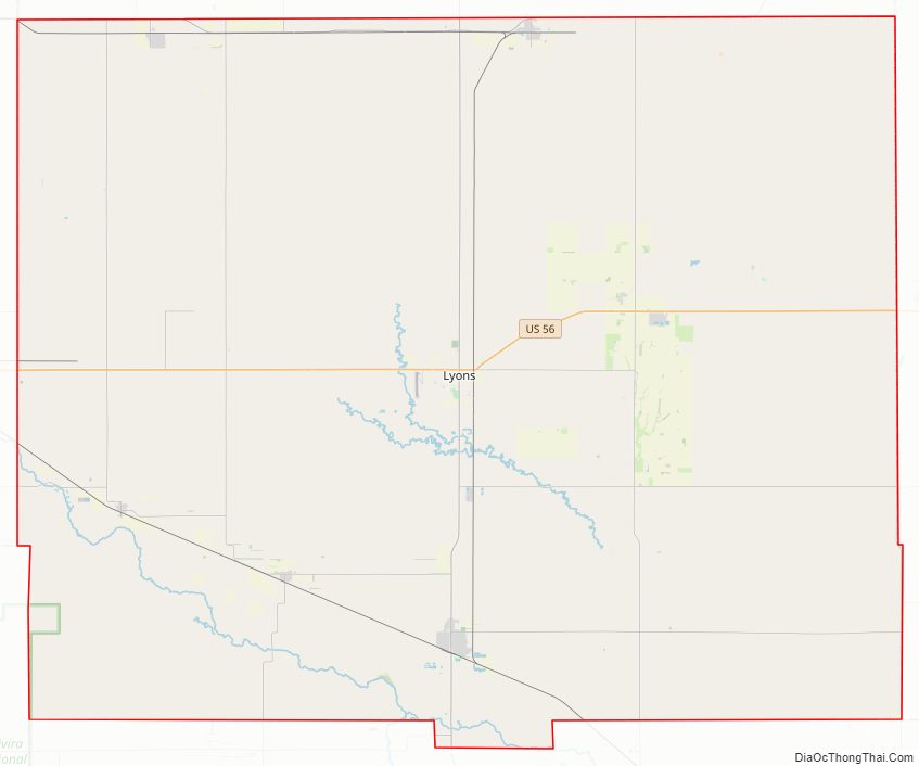
Rice County Outline Map