Ellinwood is a city in the southeast corner of Barton County, Kansas, United States. As of the 2020 census, the population of the city was 2,011.
| Name: | Ellinwood city |
|---|---|
| LSAD Code: | 25 |
| LSAD Description: | city (suffix) |
| State: | Kansas |
| County: | Barton County |
| Founded: | 1871 |
| Incorporated: | 1878 |
| Elevation: | 1,788 ft (545 m) |
| Total Area: | 1.32 sq mi (3.42 km²) |
| Land Area: | 1.32 sq mi (3.42 km²) |
| Water Area: | 0.00 sq mi (0.00 km²) |
| Total Population: | 2,011 |
| Population Density: | 1,500/sq mi (590/km²) |
| ZIP code: | 67526 |
| Area code: | 620 |
| FIPS code: | 2020425 |
| Website: | cityofellinwoodks.com |
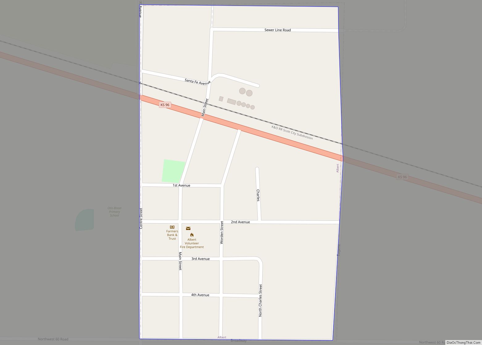
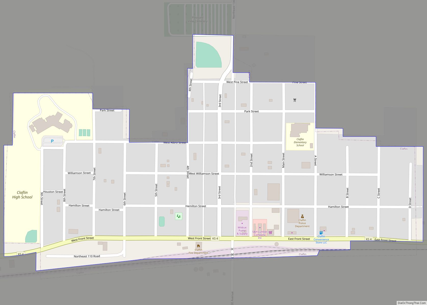
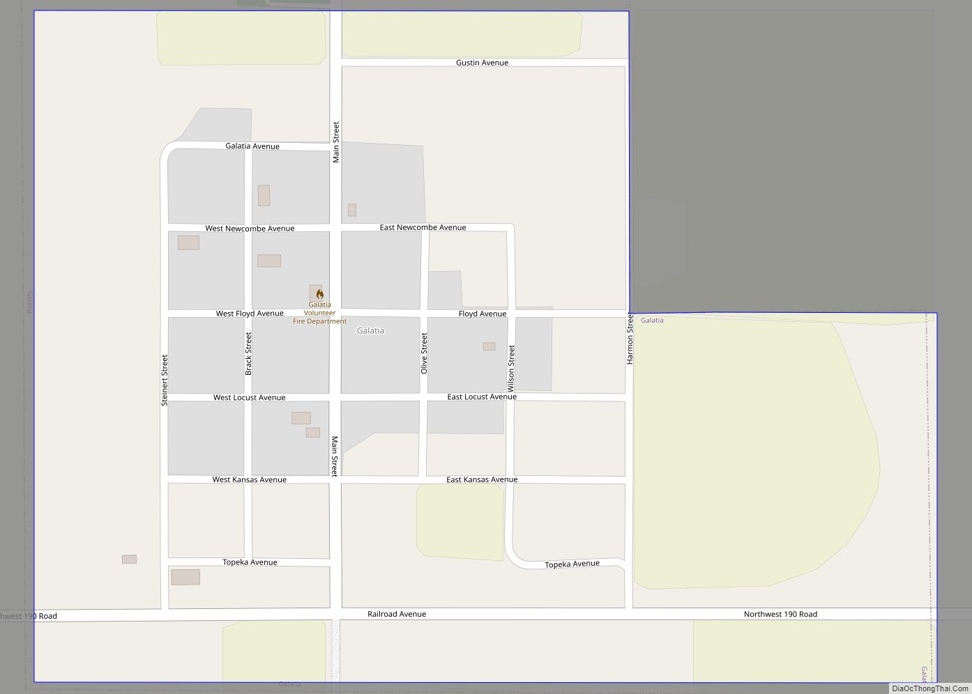
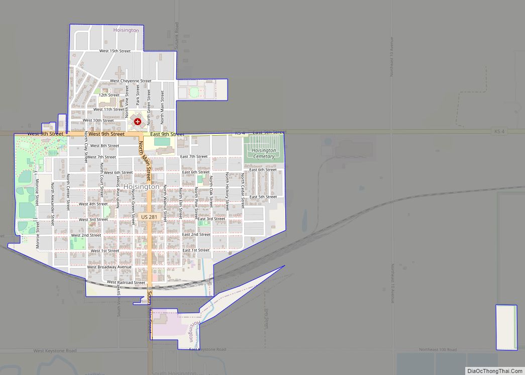
Online Interactive Map
Click on ![]() to view map in "full screen" mode.
to view map in "full screen" mode.
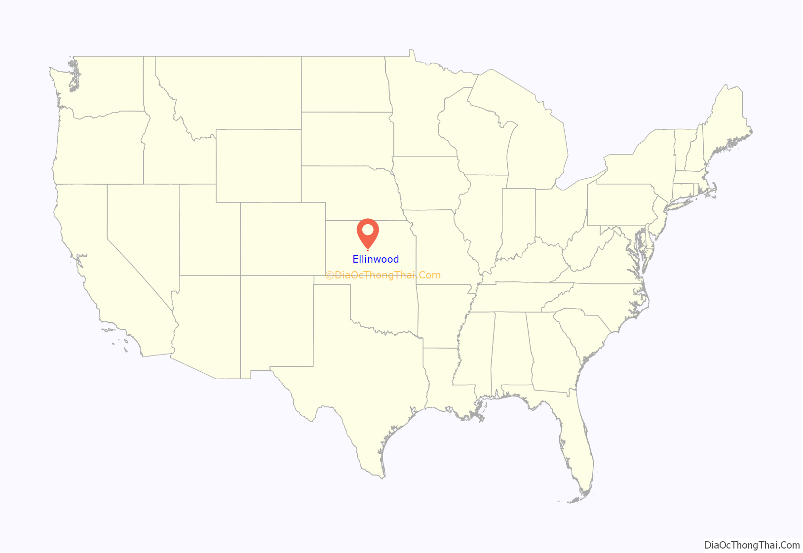
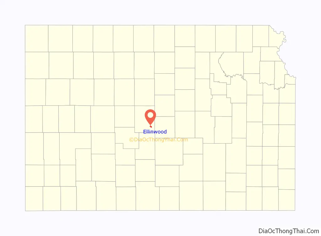
Ellinwood location map. Where is Ellinwood city?
History
19th century
For millennia, the land now known as Kansas was inhabited by Native Americans. In 1803, most of modern Kansas was secured by the United States as part of the Louisiana Purchase. In 1854, the Kansas Territory was organized, then in 1861 Kansas became the 34th U.S. state. In 1867, Barton County was founded.
The first claim at Ellinwood was staked in 1871 when it was certain the Santa Fe railroad would be completed nearby. The railroad was finished in 1872 and the city was named after Colonel John R. Ellinwood, a civil engineer working for the Santa Fe railroad. Although neither the founder nor the original settlers were German, many of the main streets were given German names, in order to appeal to German immigrant buyers.
In 1878, Atchison, Topeka and Santa Fe Railway and parties from Marion County and McPherson County chartered the Marion and McPherson Railway Company. In 1879, a branch line was built from Florence to McPherson, in 1880 it was extended to Lyons, in 1881 it was extended to Ellinwood. The line was leased and operated by the Atchison, Topeka and Santa Fe Railway. The line from Florence to Marion, was abandoned in 1968. In 1992, the line from Marion to McPherson was sold to Central Kansas Railway. In 1993, after heavy flood damage, the line from Marion to McPherson was abandoned. The original branch line connected Florence, Marion, Canada, Hillsboro, Lehigh, Canton, Galva, McPherson, Conway, Windom, Little River, Mitchell, Lyons, Chase, Ellinwood.
20th century
In 1973, the rock band Kansas rented the Ellinwood Opera House as a ‘tryout show’ for New York record executive Wally Gold, using free beer as a marketing tool, and charged a USD $0.25 entry fee to help cover some of their expenses. The story is told in the 2015 documentary Miracles Out of Nowhere.
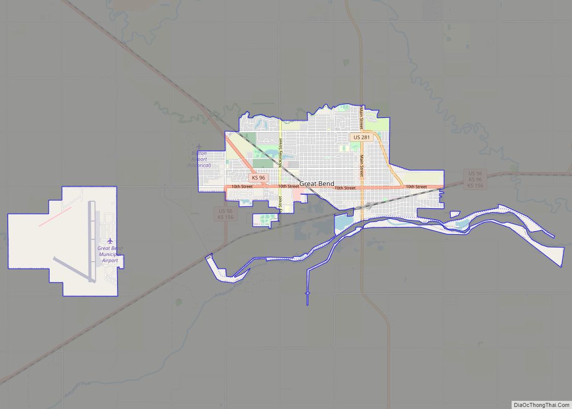
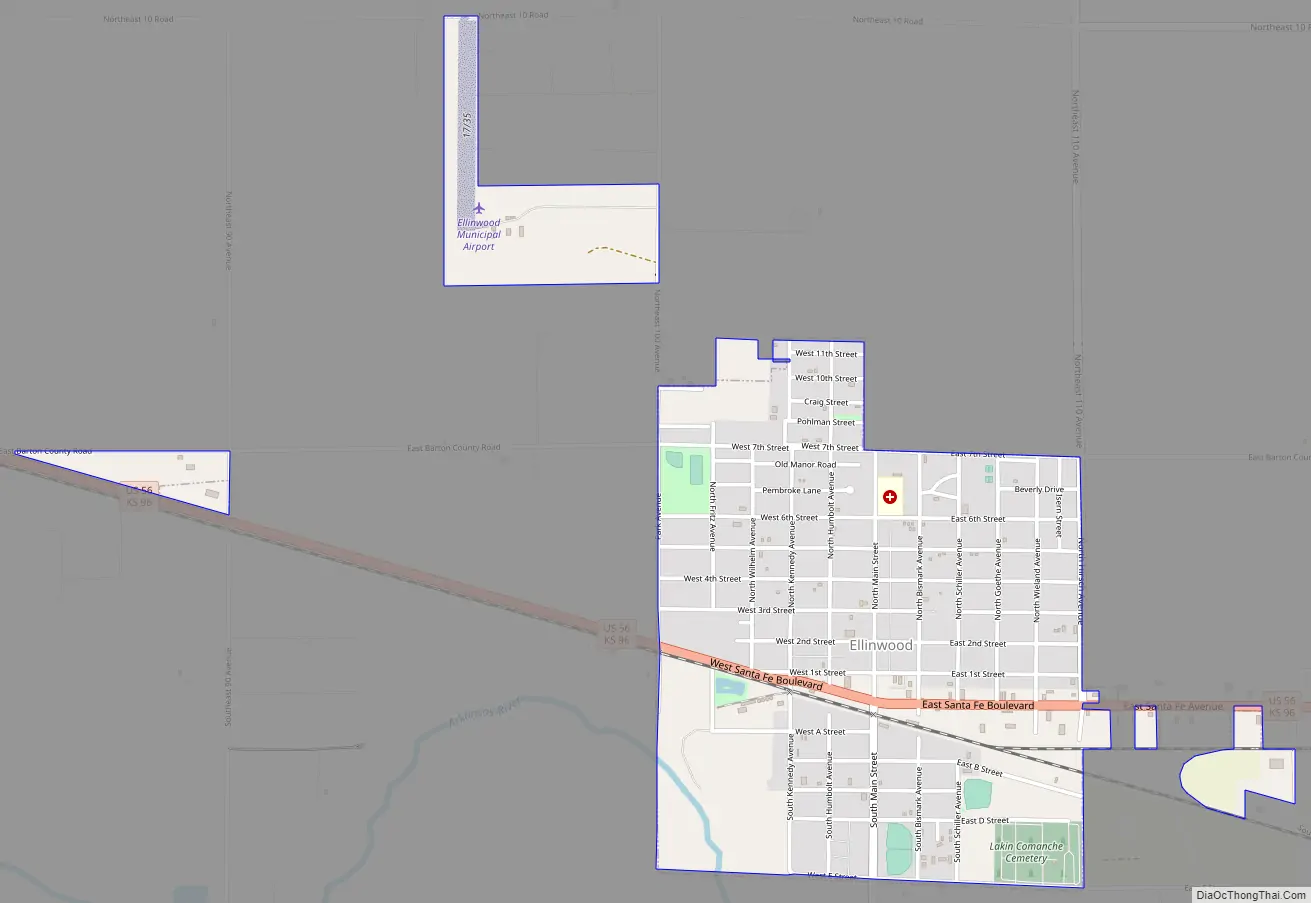
Ellinwood Road Map
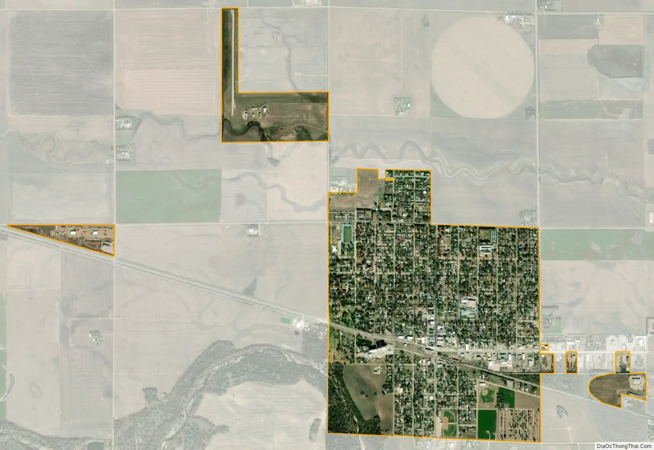
Ellinwood city Satellite Map
Geography
Ellinwood is located at 38°21′22″N 98°34′51″W / 38.356226°N 98.580873°W / 38.356226; -98.580873 (38.356226, -98.580873). According to the United States Census Bureau, the city has a total area of 1.14 square miles (2.95 km), all land. The city is situated along the path of the historic Santa Fe Trail. Ellinwood is also located just north of the Arkansas River, roughly in the area where it makes its “great bend” to the southeast en route to its final destination, the Mississippi River.
Climate
The climate in this area is characterized by hot, humid summers and generally mild to cool winters. According to the Köppen Climate Classification system, Ellinwood has a humid subtropical climate, abbreviated “Cfa” on climate maps.
See also
Map of Kansas State and its subdivision:- Allen
- Anderson
- Atchison
- Barber
- Barton
- Bourbon
- Brown
- Butler
- Chase
- Chautauqua
- Cherokee
- Cheyenne
- Clark
- Clay
- Cloud
- Coffey
- Comanche
- Cowley
- Crawford
- Decatur
- Dickinson
- Doniphan
- Douglas
- Edwards
- Elk
- Ellis
- Ellsworth
- Finney
- Ford
- Franklin
- Geary
- Gove
- Graham
- Grant
- Gray
- Greeley
- Greenwood
- Hamilton
- Harper
- Harvey
- Haskell
- Hodgeman
- Jackson
- Jefferson
- Jewell
- Johnson
- Kearny
- Kingman
- Kiowa
- Labette
- Lane
- Leavenworth
- Lincoln
- Linn
- Logan
- Lyon
- Marion
- Marshall
- McPherson
- Meade
- Miami
- Mitchell
- Montgomery
- Morris
- Morton
- Nemaha
- Neosho
- Ness
- Norton
- Osage
- Osborne
- Ottawa
- Pawnee
- Phillips
- Pottawatomie
- Pratt
- Rawlins
- Reno
- Republic
- Rice
- Riley
- Rooks
- Rush
- Russell
- Saline
- Scott
- Sedgwick
- Seward
- Shawnee
- Sheridan
- Sherman
- Smith
- Stafford
- Stanton
- Stevens
- Sumner
- Thomas
- Trego
- Wabaunsee
- Wallace
- Washington
- Wichita
- Wilson
- Woodson
- Wyandotte
- Alabama
- Alaska
- Arizona
- Arkansas
- California
- Colorado
- Connecticut
- Delaware
- District of Columbia
- Florida
- Georgia
- Hawaii
- Idaho
- Illinois
- Indiana
- Iowa
- Kansas
- Kentucky
- Louisiana
- Maine
- Maryland
- Massachusetts
- Michigan
- Minnesota
- Mississippi
- Missouri
- Montana
- Nebraska
- Nevada
- New Hampshire
- New Jersey
- New Mexico
- New York
- North Carolina
- North Dakota
- Ohio
- Oklahoma
- Oregon
- Pennsylvania
- Rhode Island
- South Carolina
- South Dakota
- Tennessee
- Texas
- Utah
- Vermont
- Virginia
- Washington
- West Virginia
- Wisconsin
- Wyoming