Ulster County is a county in the U.S. state of New York. It is situated along the Hudson River. As of the 2020 census, the population was 181,851. The county seat is Kingston. The county is named after the Irish province of Ulster.
| Name: | Ulster County |
|---|---|
| FIPS code: | 36-111 |
| State: | New York |
| Founded: | 1683 |
| Named for: | Prince James, Duke of York and Albany and Earl of Ulster |
| Seat: | Kingston |
| Largest city: | Kingston |
| Total Area: | 1,161 sq mi (3,010 km²) |
| Land Area: | 1,124 sq mi (2,910 km²) |
| Total Population: | 181,851 |
| Population Density: | 161.8/sq mi (62.5/km²) |
| Time zone: | UTC−5 (Eastern) |
| Summer Time Zone (DST): | UTC−4 (EDT) |
| Website: | ulstercountyny.gov |
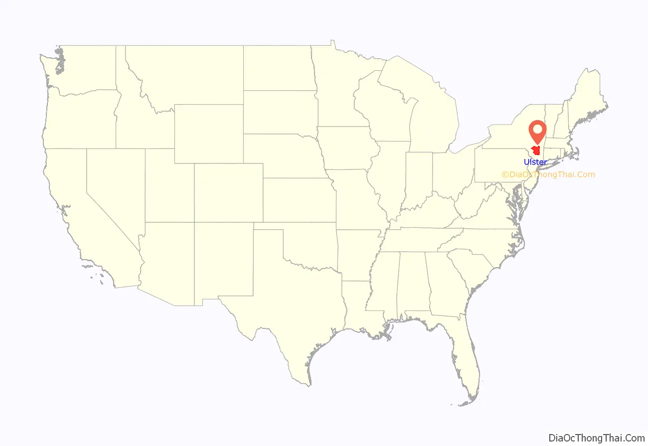
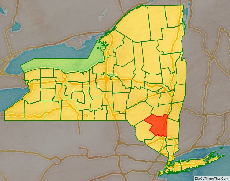
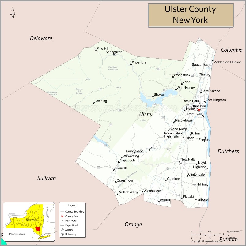
Ulster County location map. Where is Ulster County?
History
Founding and formation
When part of the New Netherland colony, Dutch traders first called the area of present-day Ulster County “Esopus”, a name borrowed for convenience from a locality on the opposite side of the Hudson. The local Lenape indigenous people called themselves Waranawanka, but soon came to be known to the Dutch as the “Esopus Indians” because they were encountered around the settlement known as Esopus. In 1652, Thomas Chambers, a freeholder from the Manor of Rensselaerswyck, purchased land at Esopus. He and several others actually settled and began farming by June, 1653. The settlements grew into the village of Wiltwijck, which the English later named Kingston. In 1683, the Duke of York created 12 counties in his province, one of which was Ulster County, named after Prince James, Duke of York (later King James II of England) whose subsidiary titles included Earl of Ulster. Its boundaries at that time included the present Sullivan County and parts of the present Delaware, Orange, and Greene Counties.
In 1777, the first state capital of the independent New York State was established at Kingston. The official records of Ulster County were removed to safety to a stone house in Kerhonkson when it became evident that the British would burn Kingston.
In 1797, parts of Otsego and Ulster Counties were split off to create Delaware County.
In 1798, Ulster County’s southernmost towns were moved into Orange County to compensate Orange for breaking away its southernmost part to form Rockland County.
In 1800, portions of Albany and Ulster Counties were split off to create Greene County.
In 1809, Sullivan County was split off from Ulster County.
Civil War
During the American Civil War, volunteers were recruited from the county and formed the majority of the following regiments:
- 80th New York Volunteer Infantry Regiment
- 120th New York Volunteer Infantry
- 156th New York Volunteer Infantry
Other regiments with at least one company from the county included:
- 1st Battalion New York Volunteer Sharpshooters
- 1st New York Volunteer Engineer Regiment
- 7th Regiment New York Volunteer Cavalry
- 7th New York Veteran Infantry Regiment
- 15th Regiment New York Volunteer Cavalry
- 20th New York Volunteer Infantry Regiment
- 25th Regiment New York Volunteer Cavalry
- 25th New York Volunteer Infantry Regiment
- 56th New York Volunteer Infantry
- 65th New York Volunteer Infantry
- 71st New York Infantry
- 102nd New York Volunteer Infantry
- 132nd New York Volunteer Infantry Regiment
- 168th New York Volunteer Infantry
- 176th New York Volunteer Infantry
- 178th New York Volunteer Infantry Regiment
- 192nd New York Volunteer Infantry
Twentieth century
The Lake Mohonk Mountain House on Shawangunk Ridge was designated a National Historic Landmark in 1986.
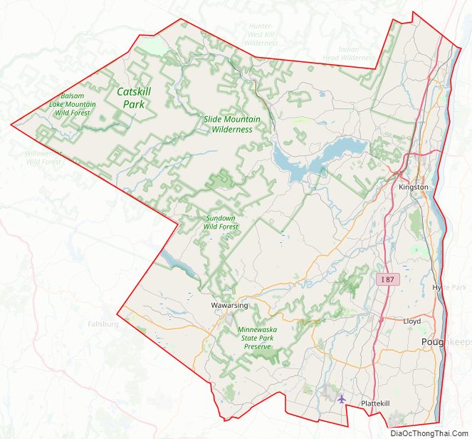
Ulster County Road Map
Geography
According to the U.S. Census Bureau, the county has an area of 1,161 square miles (3,010 km), of which 1,124 square miles (2,910 km) is land and 37 square miles (96 km) (3.1%) is water.
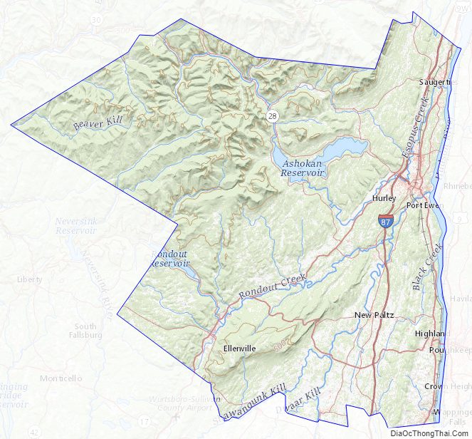
Ulster County is in southeastern New York State, south of Albany, immediately west of the Hudson River. Much of it is within the Catskill Mountains and the Shawangunk Ridge. Ulster County has Minnewaska State Park Preserve, Mohonk Preserve, Sundown State Park, VerNooykill State Forest, Witches Hole State Forest, and Shawangunk Ridge State Forest. The Sam’s Point section of Minnewaska includes rare dwarf pine trees and Verkeerder Kill falls.
The county’s highest point is Slide Mountain, at approximately 4,180 feet (1,270 m) above sea level. The lowest point is sea level along the Hudson River.
Adjacent counties
- Greene County — north
- Columbia County — northeast
- Dutchess County — southeast
- Orange County — south
- Sullivan County — southwest
- Delaware County — northwest
National protected area
- Shawangunk Grasslands National Wildlife Refuge
Ulster County Topographic Map
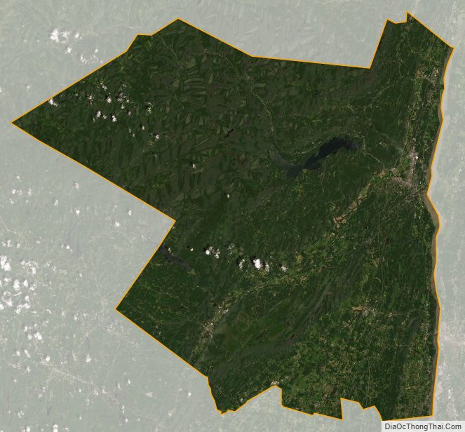
Ulster County Satellite Map
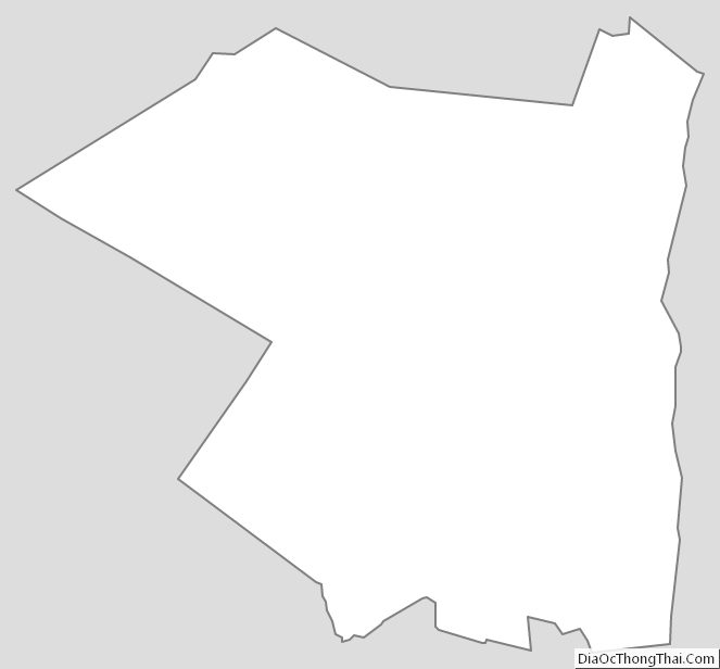
Ulster County Outline Map