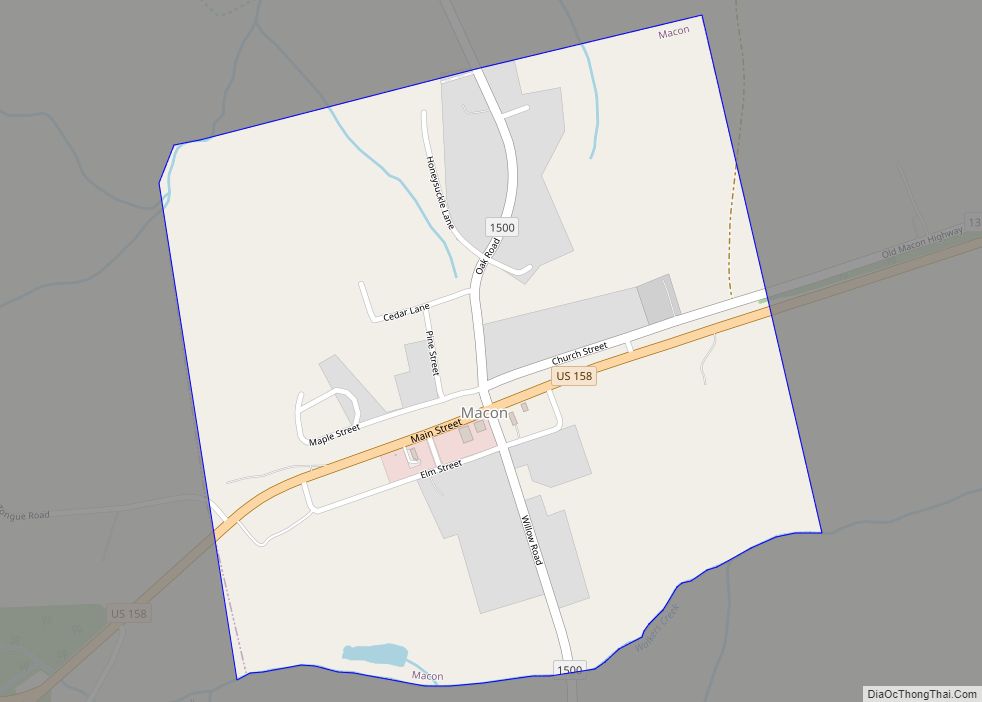
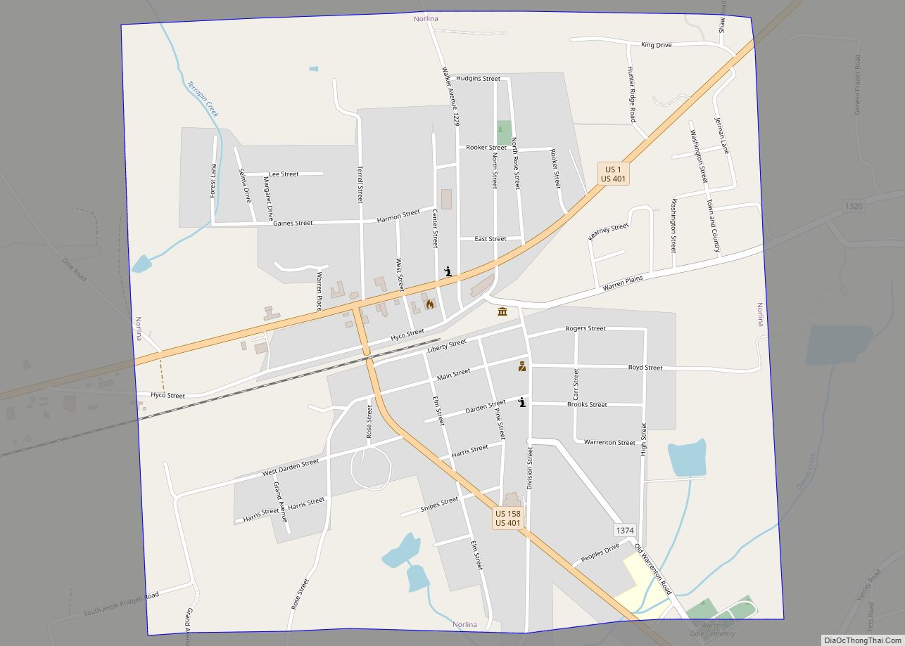
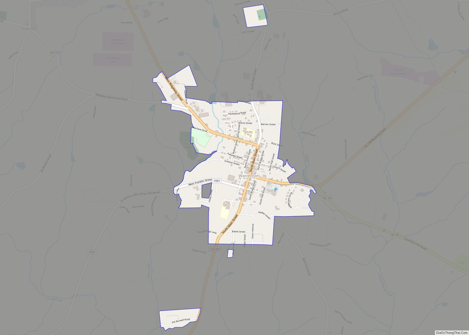
Warren County is a county located in the northeastern Piedmont region of the U.S. state of North Carolina, on the northern border with Virginia, made famous for a landfill and birthplace of the environmental justice movement. As of the 2020 census, its population was 18,642. Its county seat is Warrenton. It was a center of tobacco and cotton plantations, education, and later textile mills.
| Name: | Warren County |
|---|---|
| FIPS code: | 37-185 |
| State: | North Carolina |
| Founded: | 1779 |
| Named for: | Joseph Warren |
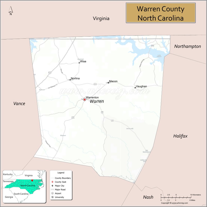
| Seat: | Warrenton |
| Largest town: | Warrenton |
| Total Area: | 444 sq mi (1,150 km²) |
| Land Area: | 428 sq mi (1,110 km²) |
| Total Population: | 18,762 |
| Population Density: | 49/sq mi (19/km²) |
| Time zone: | UTC−5 (Eastern) |
| Summer Time Zone (DST): | UTC−4 (EDT) |
| Website: | www.warrencountync.com |
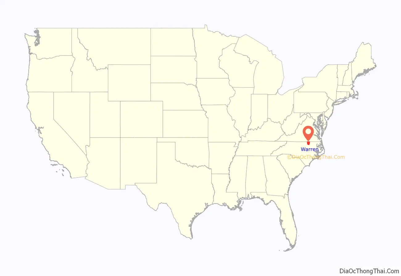
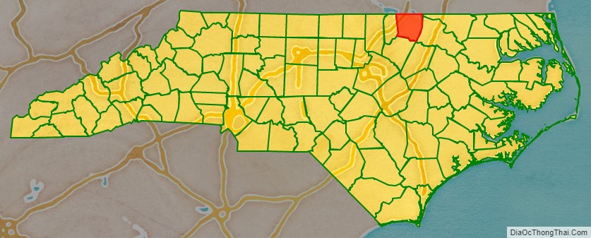
Warren County location map. Where is Warren County?
History
The county was established in 1779 from the northern half of Bute County. It was named for Joseph Warren of Massachusetts, a physician and general in the American Revolutionary War who was killed at the Battle of Bunker Hill. Developed as a tobacco and cotton farming area, its county seat of Warrenton became a center of commerce and was one of the wealthiest towns in the state from 1840 to 1860. Many planters built fine homes there.
In the later nineteenth century, the county developed textile mills. In 1881, parts of Warren County, Franklin County and Granville County were combined to form Vance County. In the late nineteenth and early twentieth centuries, Warren County’s continued reliance on agriculture slowed its development. Many residents migrated to cities for work.
From 1990 to 2016, manufacturing employment rates declined by about two-thirds. Since the late 20th century, county residents have worked to attract other industrial and business development. Soul City, a “planned community” development, was funded by the Department of Housing and Urban Development (HUD). It has not been successful in attracting business and industry, and has not developed as much housing as intended.
Warren County PCB Landfill
Beginning in 1982, Warren County was the site of the Warren County PCB Landfill. The state of North Carolina evaluated 90 different locations before determining Warren County was the best available site for the PCB landfill. As described in a General Accounting Office (GAO) report published on June 1, 1983, North Carolina wanted the landfill to be in an area bounded by the counties where the PCB spills had occurred, with a minimum area of 16 acres (6.5 ha), isolated from highly populated areas, and accessible by road with a deeded right-of-way. The site of the Warren County PCB landfill at the time of the 1980 census was 66% black. Additionally, the area had a mean family income of $10,367 (amongst the lowest of any of the 90 sites considered), and 90% of the black population was living under the poverty level.
The final two locations for the landfill came down to Warren County and a county called Chatham that was eventually dropped because it was publicly owned land. On July 2, 1982, the NAACP made a final attempt to block the creation of the landfill on the basis of racial discrimination. Their plea was denied by the Federal District court stating that race was not an issue because “throughout all the Federal and State hearings and private party suits, it was never suggested that race was a motivating factor in the location of the landfill”. In response to the court’s decision to make Warren County the site of the PCB landfill, protests ensued. The National Association for the Advancement of Colored People (NAACP) staged a massive protest where more than 500 protesters were arrested. Not only did the protest impact the community itself, but it emerged as the birthplace of many environmental justice studies in regard to hazardous waste facilities being placed in minority communities. Without the protests and displeasures that the African Americans voiced in Warren County, the United Church of Christ would not have studied the implicit bias found while examining where hazardous waste facilities were placed all over the United States.
Five years later, the United Church of Christ published a report that race was the most significant factor in determining where hazardous waste facilities would be placed. Finding 3 out of every 5 African Americans and Hispanics live in a community housing a toxic waste site. This led to both Presidents George Bush Sr. and Bill Clinton to implement policy to make sure that waste sites would not be placed in completely minority neighborhoods. The site was not made safe until 2004.
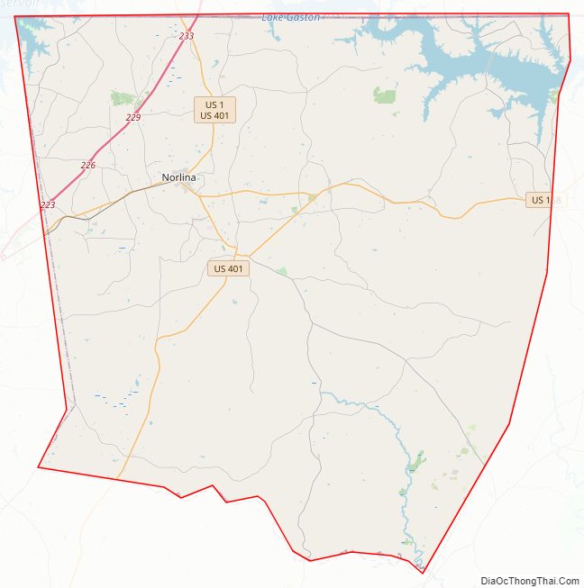
Warren County Road Map
Geography
According to the U.S. Census Bureau, the county has a total area of 444 square miles (1,150 km), of which 428 square miles (1,110 km) is land and 15 square miles (39 km) (3.4%) is water.
State and local protected areas
- Kerr Lake State Recreation Area (part)
- Magnolia Ernest Recreation Park
Major water bodies
- Big Stone House Creek
- Cabin Branch
- Fishing Creek
- Hawtree Creek
- John H. Kerr Reservoir
- Jorden Creek
- Lake Gaston
- Phoebes Creek
- Possumquarter Creek
- Reedy Creek
- Roanoke River
- Sandy Creek
- Shocco Creek
- Sixpound Creek
- Smith Creek
- Walkers Creek
Adjacent counties
- Brunswick County, Virginia – north
- Northampton County – northeast
- Halifax County – east
- Franklin County – south
- Vance County – west
- Mecklenburg County, Virginia – northwest
- Nash County– southeast
Major highways
- I-85
- US 1
- US 158
- US 158 Bus.
- US 401
- NC 4
- NC 43
- NC 58
- NC 903
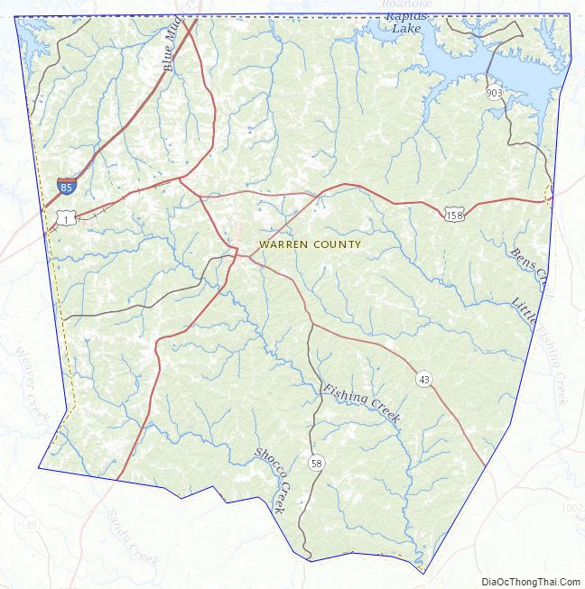
Warren County Topographic Map
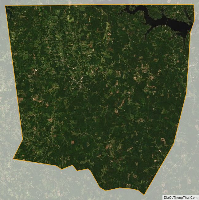
Warren County Satellite Map
Warren County Outline Map