Warrenton is a town in, and the county seat of, Warren County, North Carolina, United States. The population was 862 at the 2010 census. Warrenton, now served by U.S. routes 158 and 401, was founded in 1779. It became one of the wealthiest towns in the state from 1840 to 1860, being a trading center of an area of rich tobacco and cotton plantations. It has a large stock of historic architecture buildings. More than 90 percent of its buildings are listed in the National Register of Historic Places and its National Historic District encompasses nearly half its area.
| Name: | Warrenton town |
|---|---|
| LSAD Code: | 43 |
| LSAD Description: | town (suffix) |
| State: | North Carolina |
| County: | Warren County |
| Elevation: | 387 ft (118 m) |
| Total Area: | 1.09 sq mi (2.81 km²) |
| Land Area: | 1.08 sq mi (2.81 km²) |
| Water Area: | 0.00 sq mi (0.00 km²) |
| Total Population: | 851 |
| Population Density: | 784.33/sq mi (302.83/km²) |
| ZIP code: | 27589 |
| Area code: | 252 |
| FIPS code: | 3771100 |
| GNISfeature ID: | 0996808 |
| Website: | www.warrenton.nc.gov |
Online Interactive Map
Click on ![]() to view map in "full screen" mode.
to view map in "full screen" mode.
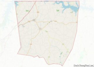
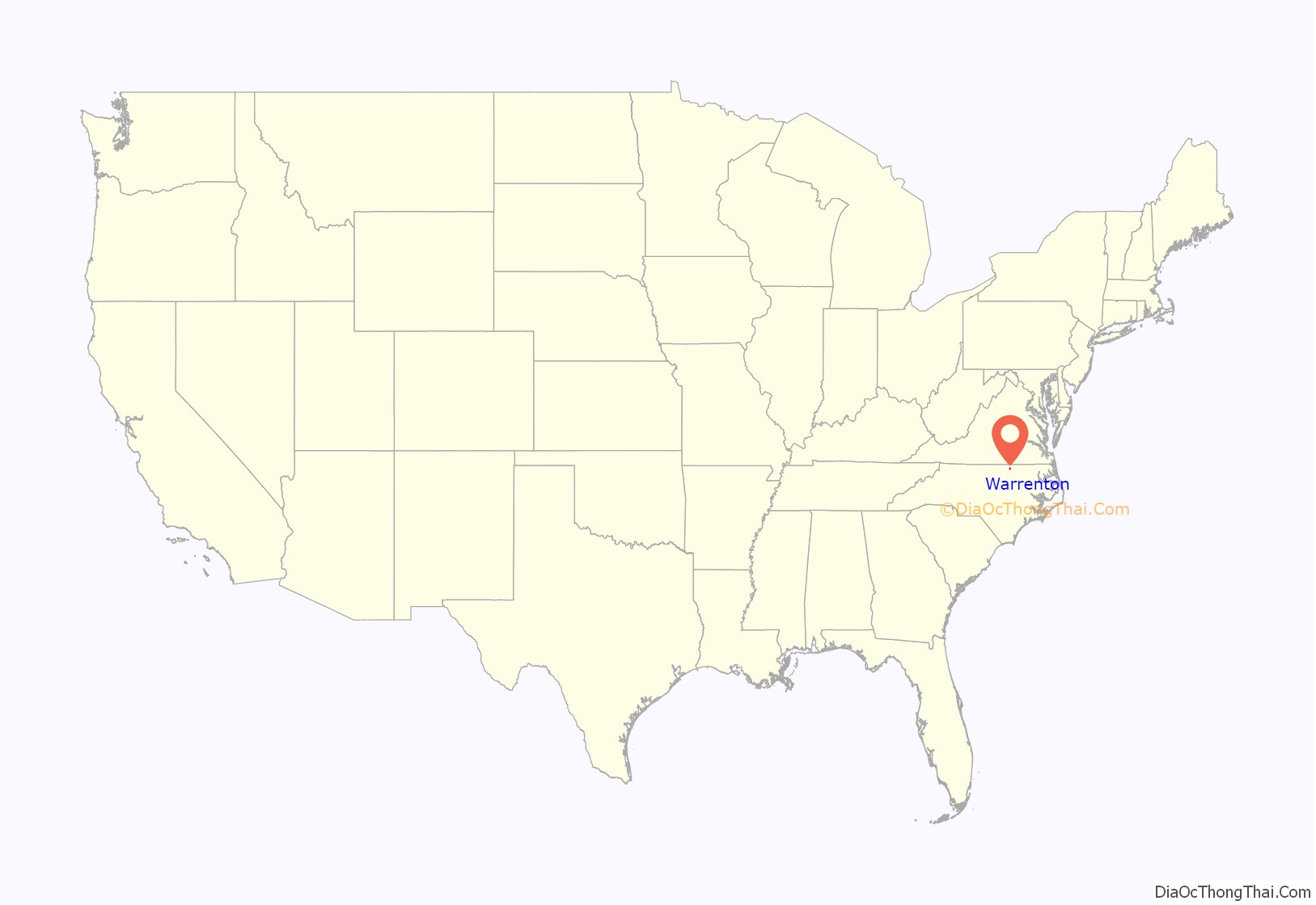
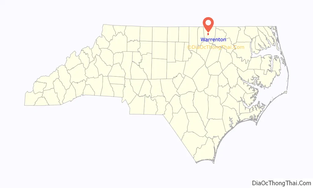
Warrenton location map. Where is Warrenton town?
History
Warrenton was founded at the time when Bute County was divided to form Warren and Franklin counties. Named for Dr. Joseph Warren, a patriot and soldier who fell at the Battle of Bunker Hill during the American Revolutionary War, it was incorporated in 1779. William Christmas platted and surveyed the streets and lots, and public squares that year. He established one hundred lots of one-half acre each, convenient streets and squares, and a common area for the use of the town.
The area was developed as tobacco and cotton plantations. Warrenton served as a regional center for trade and entertainment.
Many early and mid-19th century houses have been preserved. The planters chartered private academies to educate their children, one of the earliest being The Warrenton Male Academy, formed in 1788. A girls’ school was founded by Jacob Mordecai, a Sephardic Jew, whose son Moses became a prominent lawyer in Raleigh. Commercial and government structures in the town date to the late 19th century and early 1900s.
In the 1850s, the town became a busy center of commerce when the railroad was built to improve shipping of the commodities of the rich tobacco and cotton fields to markets; it became the wealthiest town in North Carolina of the time. The well-known builder Jacob Holt lived here; he built Greek Revival style houses throughout the region and his workshop supplied millwork to builders even farther afield.
Warrenton became one of the wealthiest towns in North Carolina from 1840 to 1860, with property owners building fine residences and commercial buildings, forming the core of its current historic architecture. They employed the prominent architects Jacob W. Holt and Albert Gamaliel Jones, who designed and built houses in the Federal, Greek Revival, and Italianate styles.
The Warrenton Historic District was listed on the National Register of Historic Places in 1976, and includes over 200 contributing buildings. The Coleman-White House, Elgin, Liberia School, Reedy Rill, Shady Oaks, Sledge-Hayley House, Mansfield Thornton House, and John Watson House are also listed on the National Register of Historic Places.
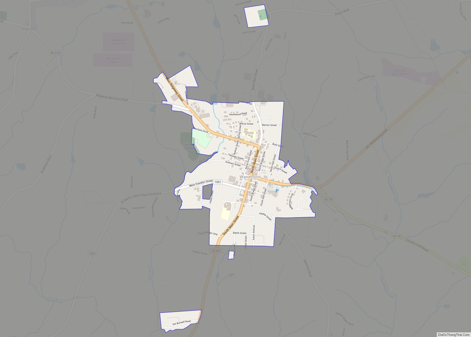
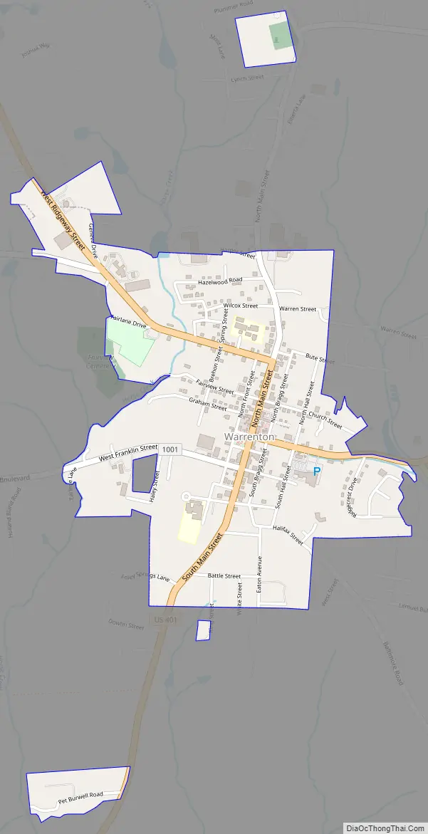
Warrenton Road Map
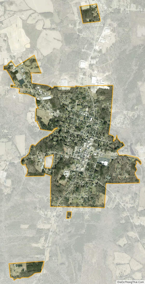
Warrenton city Satellite Map
See also
Map of North Carolina State and its subdivision:- Alamance
- Alexander
- Alleghany
- Anson
- Ashe
- Avery
- Beaufort
- Bertie
- Bladen
- Brunswick
- Buncombe
- Burke
- Cabarrus
- Caldwell
- Camden
- Carteret
- Caswell
- Catawba
- Chatham
- Cherokee
- Chowan
- Clay
- Cleveland
- Columbus
- Craven
- Cumberland
- Currituck
- Dare
- Davidson
- Davie
- Duplin
- Durham
- Edgecombe
- Forsyth
- Franklin
- Gaston
- Gates
- Graham
- Granville
- Greene
- Guilford
- Halifax
- Harnett
- Haywood
- Henderson
- Hertford
- Hoke
- Hyde
- Iredell
- Jackson
- Johnston
- Jones
- Lee
- Lenoir
- Lincoln
- Macon
- Madison
- Martin
- McDowell
- Mecklenburg
- Mitchell
- Montgomery
- Moore
- Nash
- New Hanover
- Northampton
- Onslow
- Orange
- Pamlico
- Pasquotank
- Pender
- Perquimans
- Person
- Pitt
- Polk
- Randolph
- Richmond
- Robeson
- Rockingham
- Rowan
- Rutherford
- Sampson
- Scotland
- Stanly
- Stokes
- Surry
- Swain
- Transylvania
- Tyrrell
- Union
- Vance
- Wake
- Warren
- Washington
- Watauga
- Wayne
- Wilkes
- Wilson
- Yadkin
- Yancey
- Alabama
- Alaska
- Arizona
- Arkansas
- California
- Colorado
- Connecticut
- Delaware
- District of Columbia
- Florida
- Georgia
- Hawaii
- Idaho
- Illinois
- Indiana
- Iowa
- Kansas
- Kentucky
- Louisiana
- Maine
- Maryland
- Massachusetts
- Michigan
- Minnesota
- Mississippi
- Missouri
- Montana
- Nebraska
- Nevada
- New Hampshire
- New Jersey
- New Mexico
- New York
- North Carolina
- North Dakota
- Ohio
- Oklahoma
- Oregon
- Pennsylvania
- Rhode Island
- South Carolina
- South Dakota
- Tennessee
- Texas
- Utah
- Vermont
- Virginia
- Washington
- West Virginia
- Wisconsin
- Wyoming