Whitley County is a rural county in the U.S. state of Indiana. As of the 2020 United States census, the population was 34,191. Whitley County is the 49th largest county in Indiana. The county seat (and only incorporated city) is Columbia City. The county has the highest county number (92) on Indiana license plates, as it is alphabetically the last in the state’s list of counties. It is part of the Fort Wayne Metropolitan Statistical Area and the Fort Wayne–Huntington–Auburn Combined Statistical Area.
| Name: | Whitley County |
|---|---|
| FIPS code: | 18-183 |
| State: | Indiana |
| Founded: | 7 February 1835 (authorized) 1838 (organized) |
| Named for: | William Whitley |
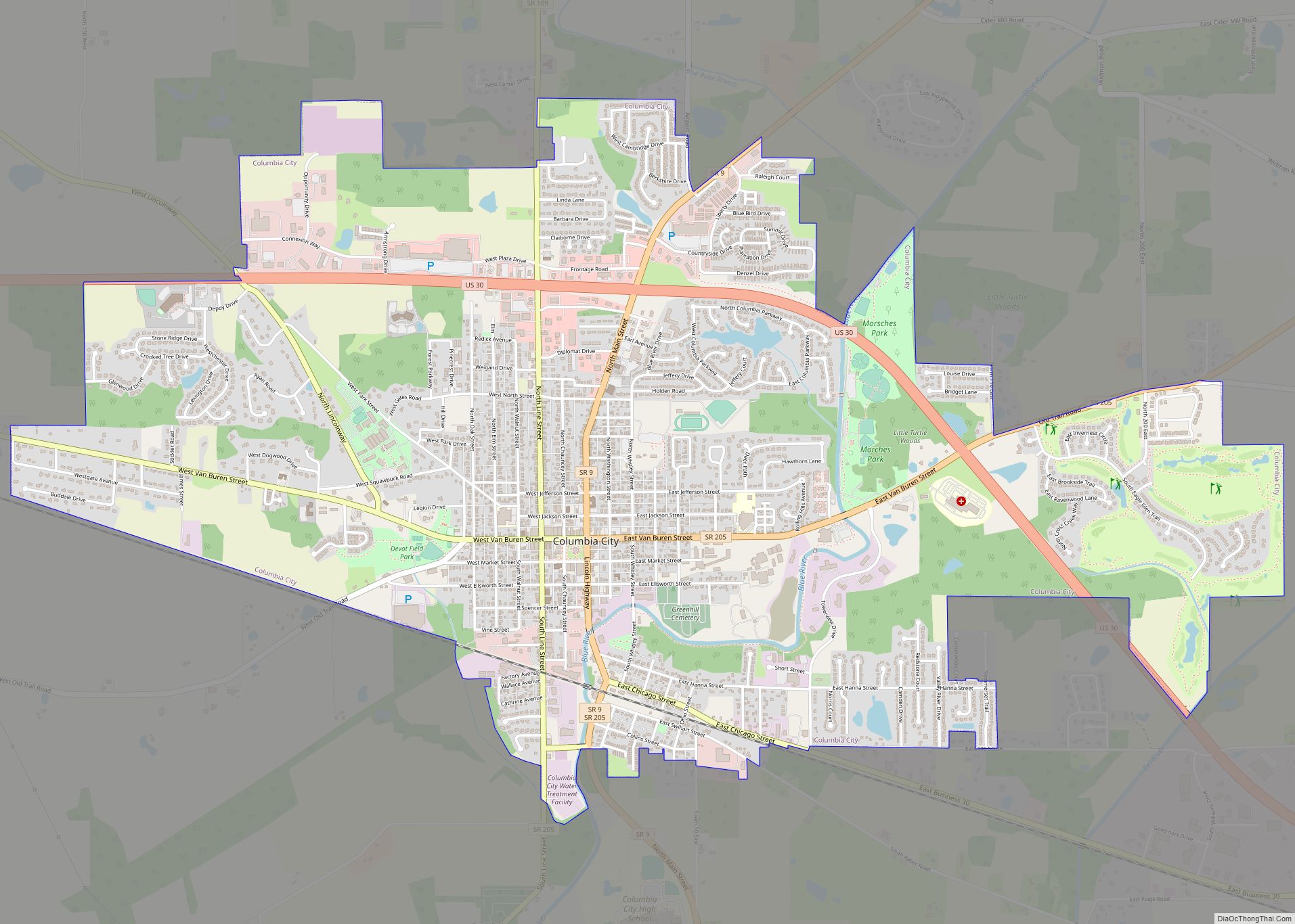
| Seat: | Columbia City |
| Largest city: | Columbia City |
| Total Area: | 337.91 sq mi (875.2 km²) |
| Land Area: | 335.57 sq mi (869.1 km²) |
| Population Density: | 101.6/sq mi (39.2/km²) |
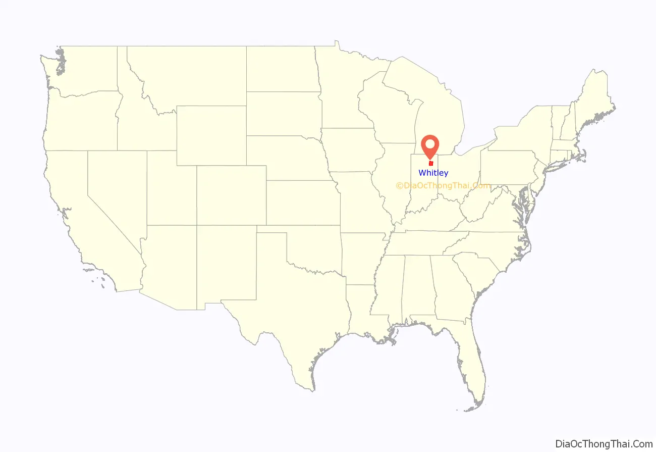
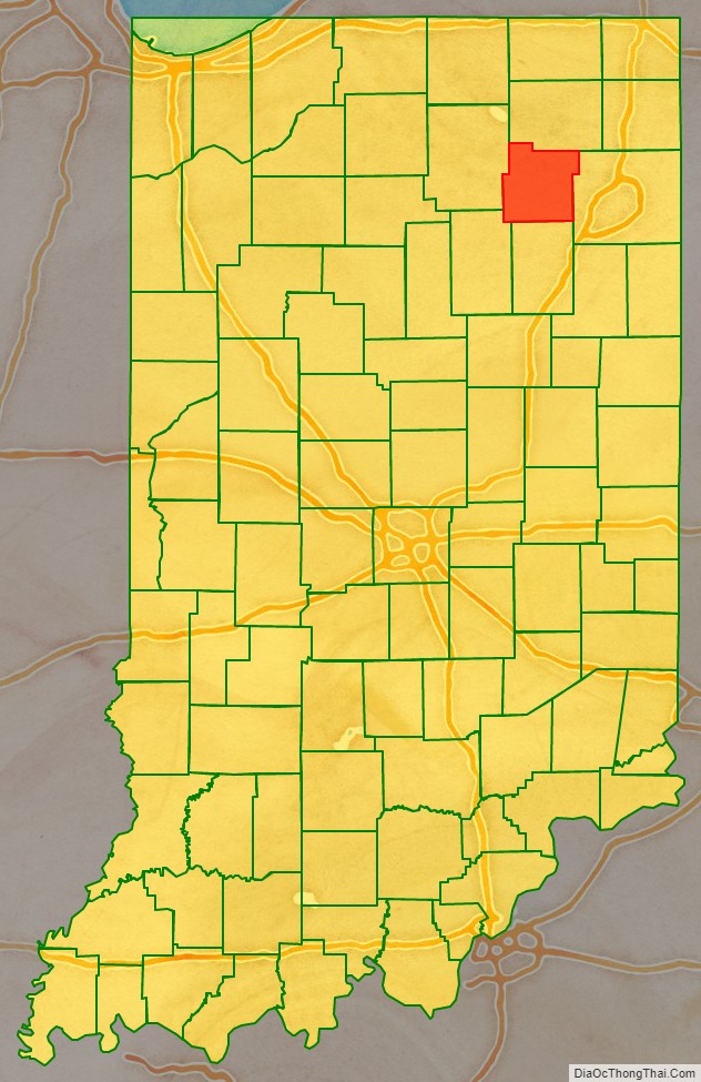
Whitley County location map. Where is Whitley County?
History
Indiana was granted statehood near the end of 1816. On 7 February 1835, the state legislature approved an omnibus bill that authorized the creation of thirteen counties, including Whitley. It was named for Col. William Whitley, who was killed in the Battle of the Thames in the War of 1812.
The first non-Native American settlers arrived in the area during that year, as a result of the end of the Black Hawk War and completion of the Erie Canal. They were from New England – “Yankee” settlers, descendents of the English Puritans who settled New England in the colonial era. They were primarily members of the Congregational Church though due to the Second Great Awakening many of them had converted to Methodism and some had become Baptists before coming to Indiana. Whitley County government was organized in 1838.
In the late 1870s immigrants began arriving from Germany and Ireland.
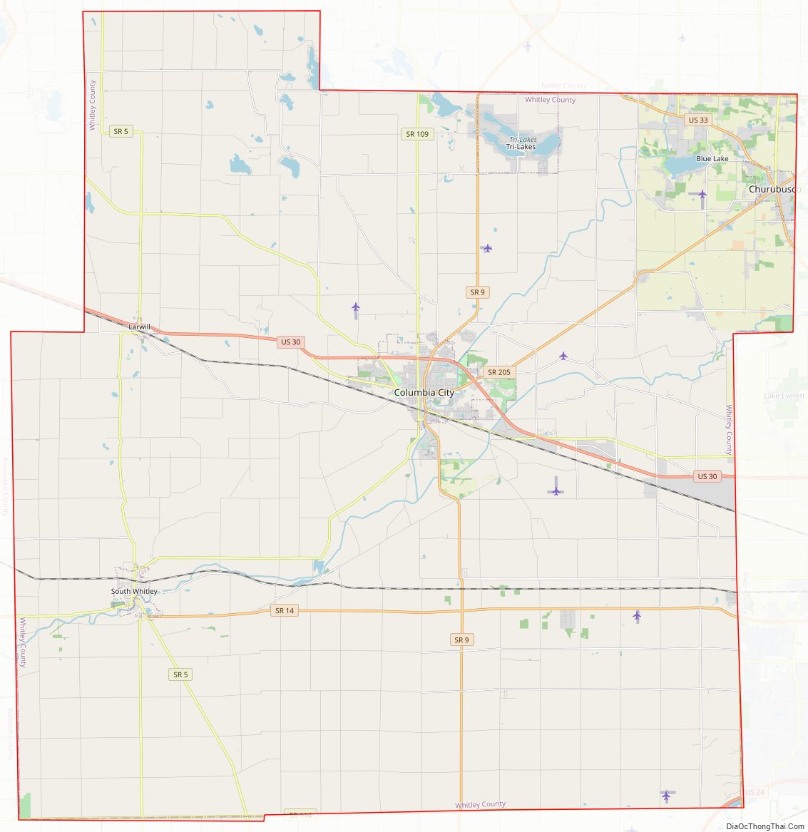
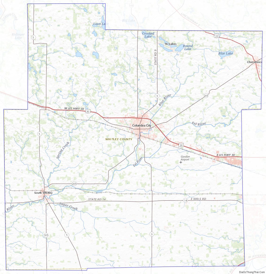
Whitley County Road Map
Geography
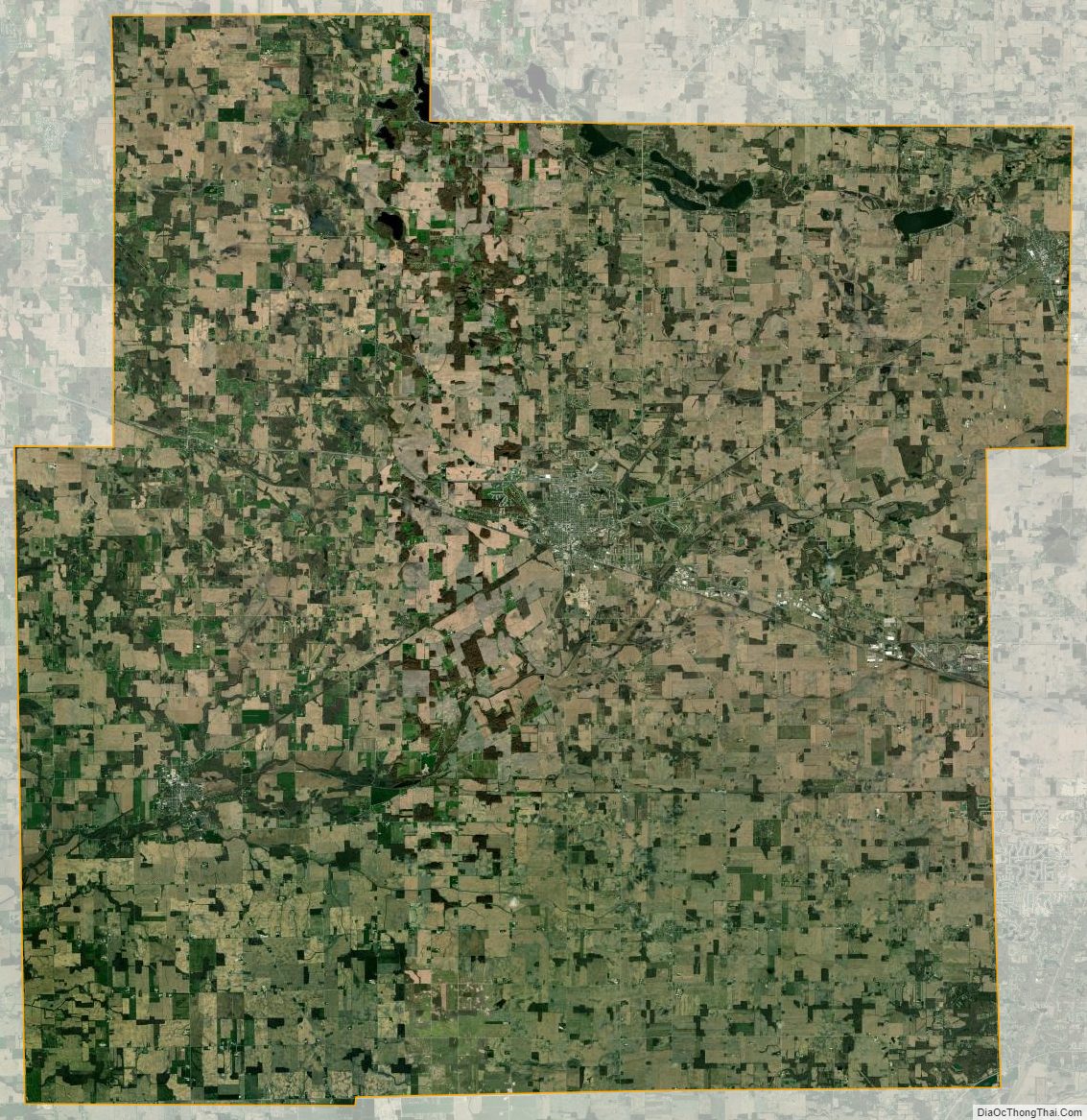
Prior to white settlement, Whitley County’s low rolling hills were densely forested, and dotted with lakes across its northern portion. At present, the available land is mostly deforested, and is entirely devoted to agriculture or to urban development. Its highest point (approx. 1000’/305 meters ASL) is a small rise NE of Cedar Lake. The Eel River flows southwestward through the lower part of the county, and the Blue River flows southwestward through the upper part.
According to the 2010 United States Census, the county has a total area of 337.91 square miles (875.2 km), of which 335.57 square miles (869.1 km) (or 99.31%) is land and 2.34 square miles (6.1 km) (or 0.69%) is water.
Adjacent counties
- Noble County – north
- Allen County – east
- Huntington County – south
- Wabash County – southwest
- Kosciusko County – west
City and towns
- Columbia City (city/county seat)
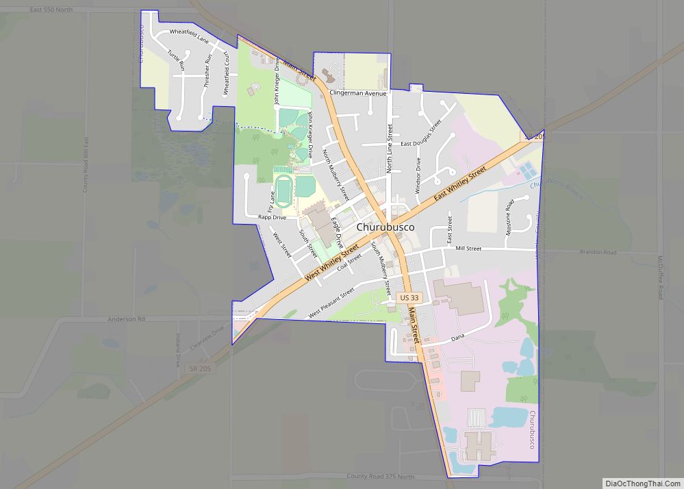
- Churubusco
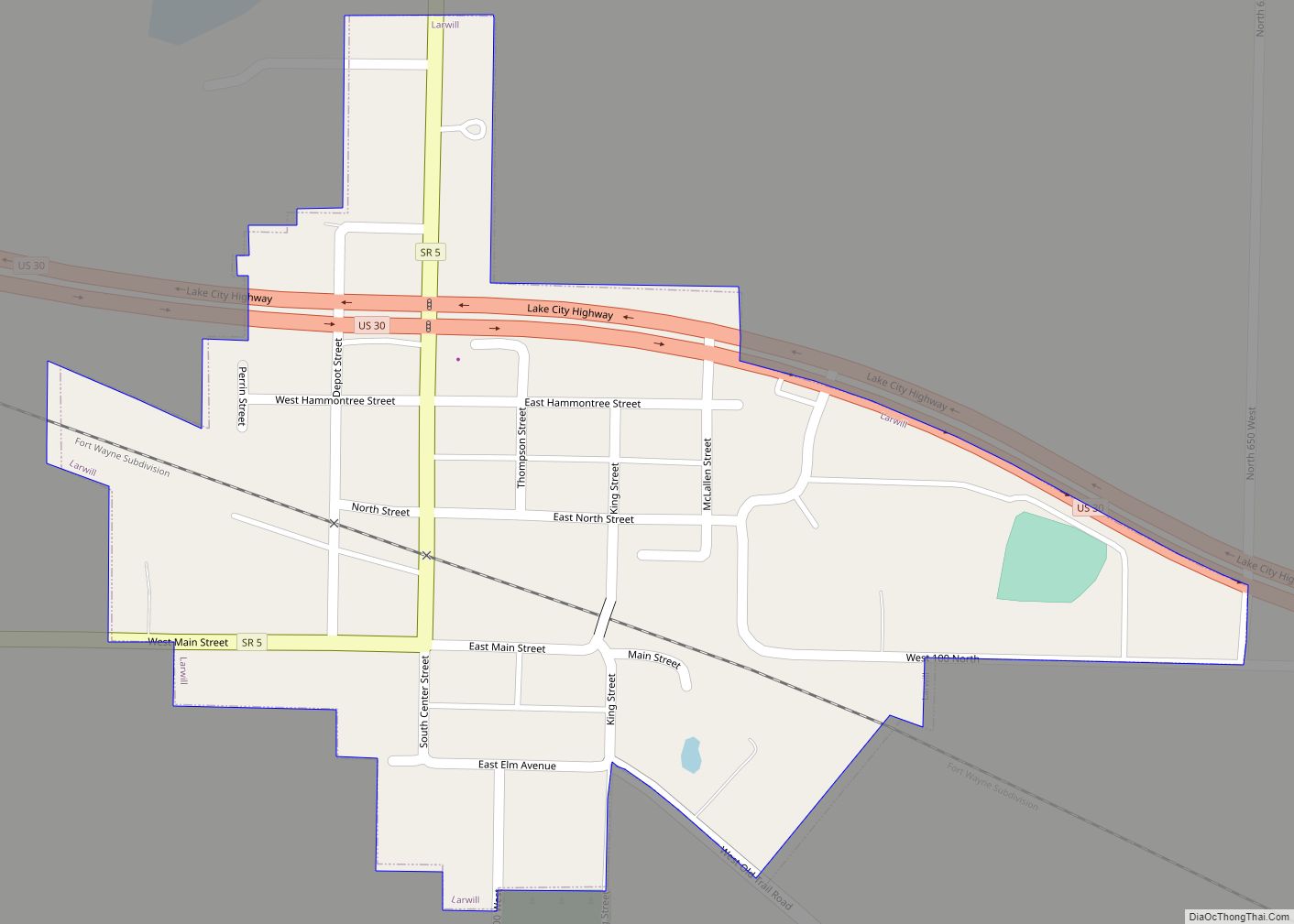
- Larwill
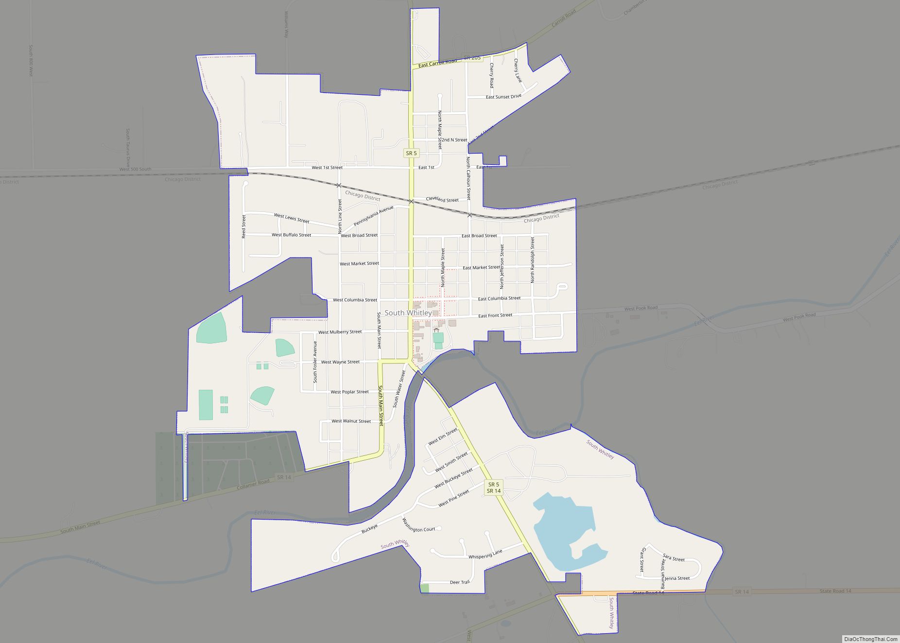
- South Whitley
Census-designated place
Unincorporated places
- Blue Lake
- Briggs
- Coesse
- Coesse Corners
- Collamer
- Collins
- Cresco
- Dunfee
- Etna
- Five Points
- Laud
- Lorane
- Luther
- Peabody
- Raber
- Saturn
- Tunker
- Washington Center
Townships
- Cleveland
- Columbia
- Etna-Troy
- Jefferson
- Richland
- Smith
- Thorncreek
- Union
- Washington
Lakes
- Blue Lake
- Brown Lake
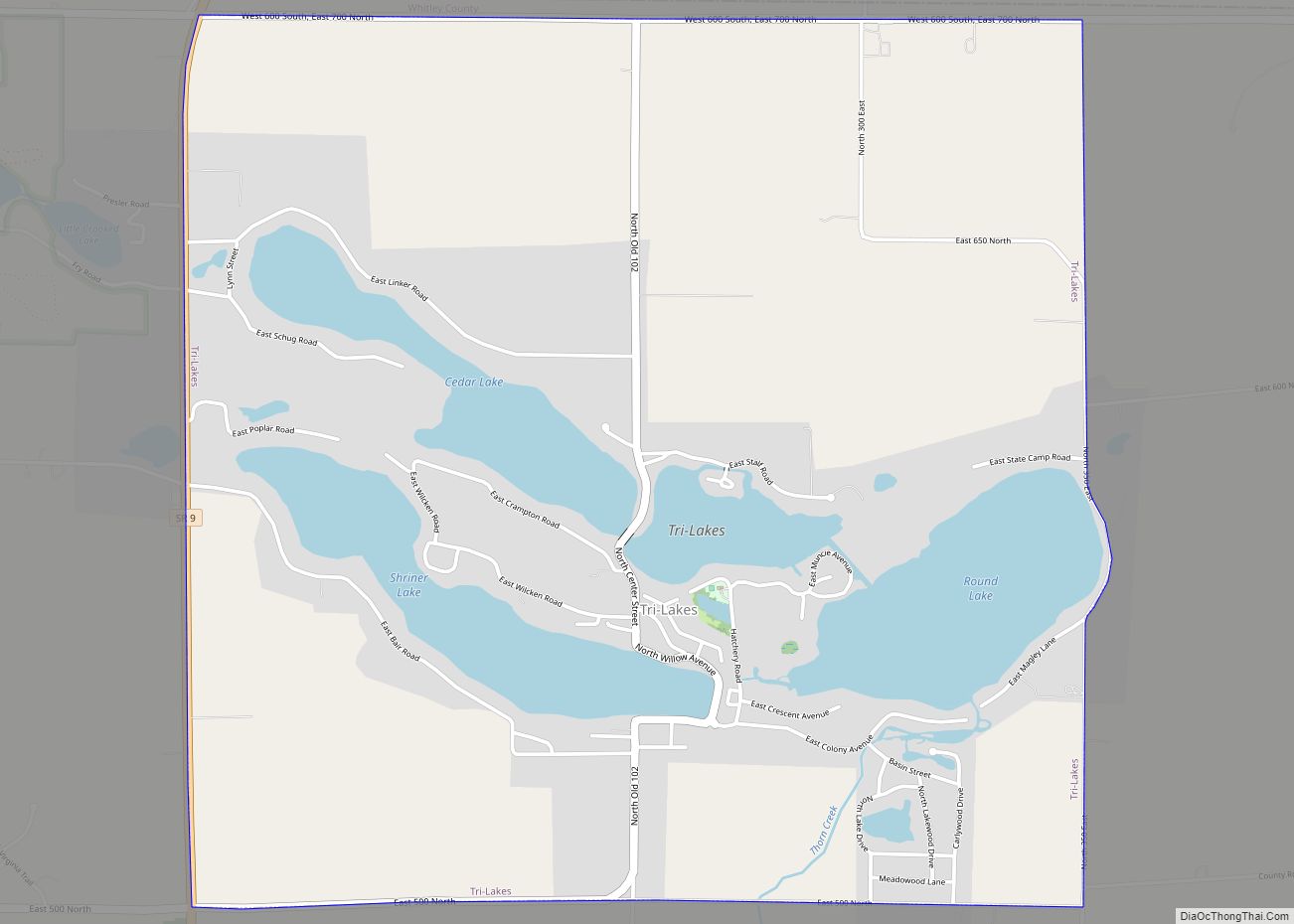
- Cedar Lake
- Crooked Lake (part)
- Dollar Lake
- Goose Lake
- Indian Lake
- Little Cedar Lake
- Loon Lake (part)
- Mud Lake
- New Lake
- Old Lake
- Rine Lake
- Robinson Lake (part)
- Round Lake
- Scott Lake
- Shriner Lake
- Tadpole Lake
- Troy Cedar Lake
- Winters Lake
Protected areas
- Deniston Resource Area
- Goose Lake Wetland Conservation Area
- Pisgah Marsh Nongame Area (part)
Major highways
- U.S. Route 24
- U.S. Route 30
- U.S. Route 33
- Indiana State Road 5
- Indiana State Road 9
- Indiana State Road 14
- Indiana State Road 105
- Indiana State Road 109
- Indiana State Road 114
- Indiana State Road 205
Whitley County Topographic Map
Whitley County Satellite Map
Whitley County Outline Map