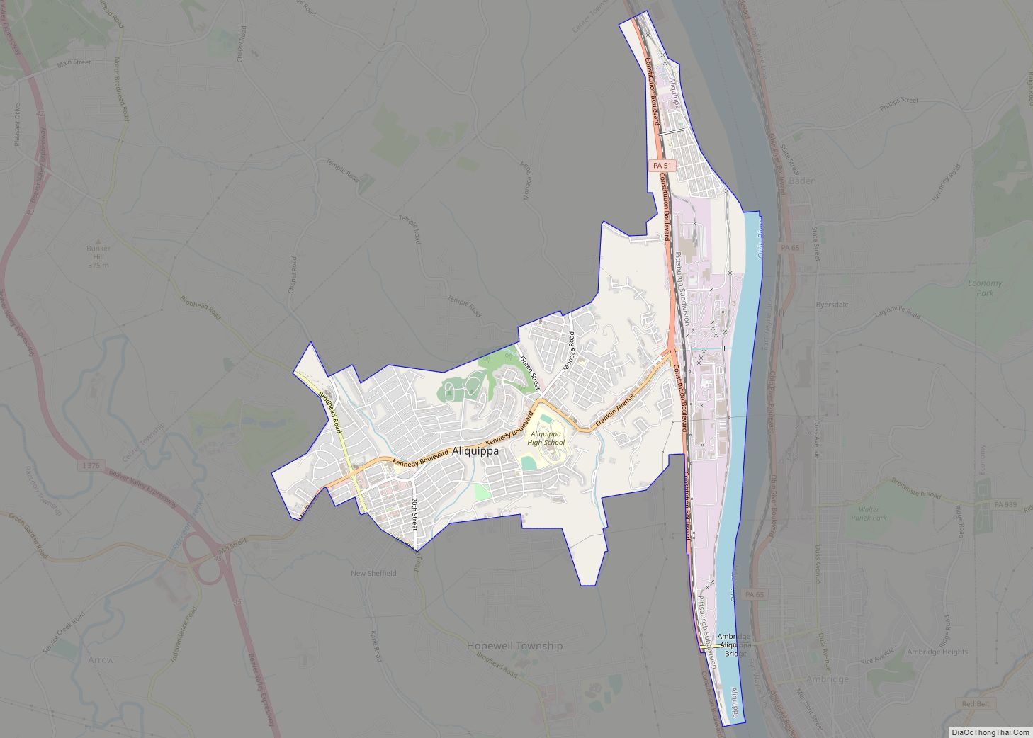
Aliquippa is the largest city in Beaver County, Pennsylvania, United States, located on the Ohio River about 18 miles (29 km) northwest of Pittsburgh. The population was 9,238 at the 2020 census. It is part of the Pittsburgh metropolitan area.
Formerly the location of a large Native American trading center, Aliquippa grew to become a center for steel manufacturing by the early 20th century, similar to other towns in the area. With the closure of most large employers by the 1980s, Aliquippa has since become an economically distressed community.
| Name: | Aliquippa city |
|---|---|
| LSAD Code: | 25 |
| LSAD Description: | city (suffix) |
| State: | Pennsylvania |
| County: | Beaver County |
| Incorporated: | 1894 |
| Elevation: | 850 ft (260 m) |
| Total Area: | 4.60 sq mi (11.90 km²) |
| Land Area: | 4.19 sq mi (10.86 km²) |
| Water Area: | 0.40 sq mi (1.04 km²) |
| Population Density: | 2,202.67/sq mi (850.54/km²) |
| ZIP code: | 15001 |
| FIPS code: | 4200820 |
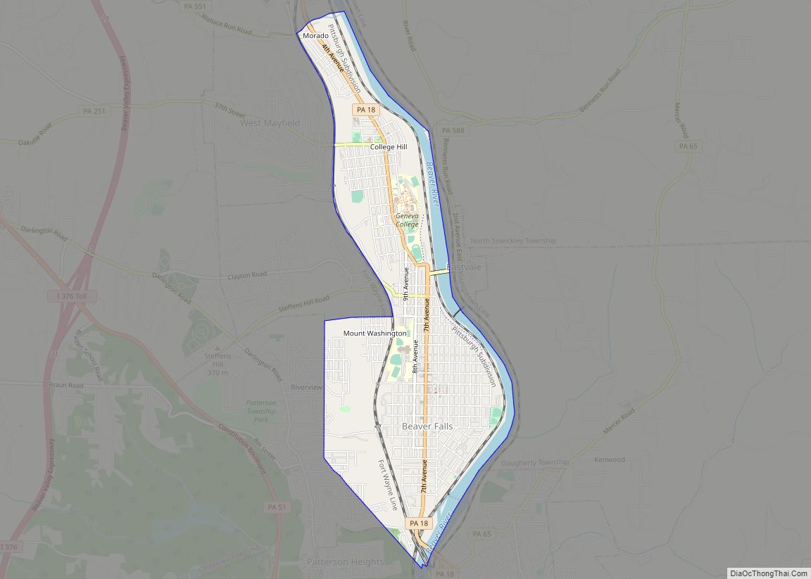
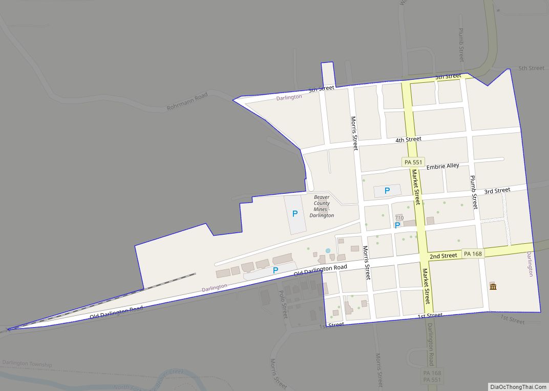
Online Interactive Map
Click on ![]() to view map in "full screen" mode.
to view map in "full screen" mode.
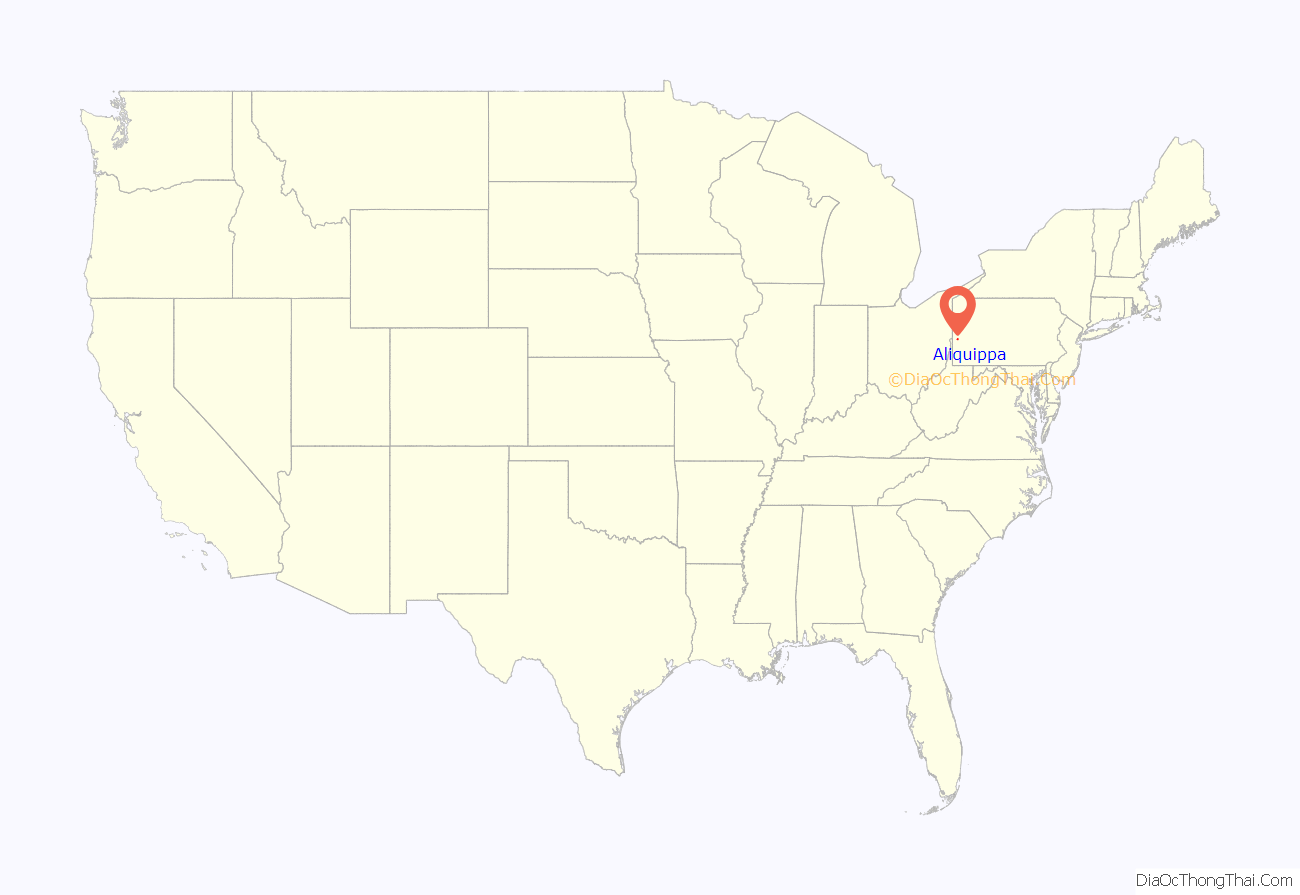
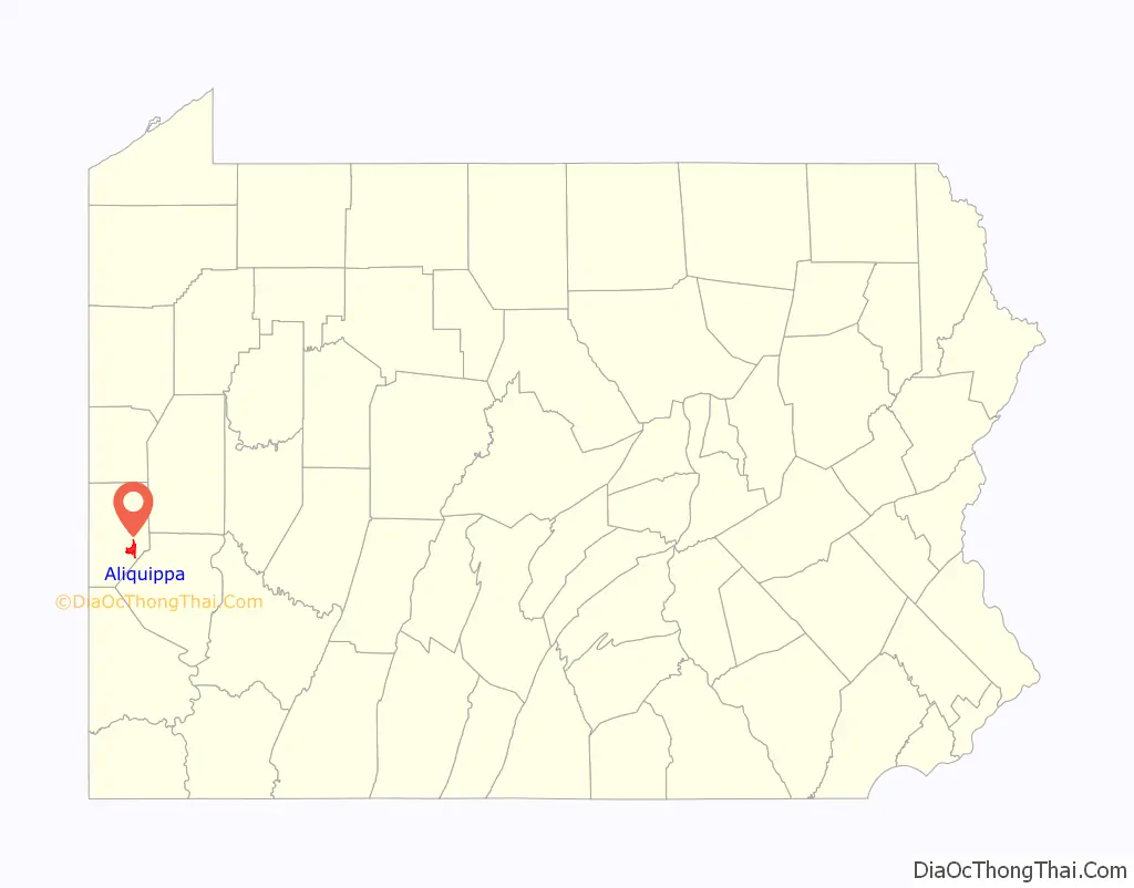
Aliquippa location map. Where is Aliquippa city?
History
Aliquippa was founded by the merger of three towns: Aliquippa, Woodlawn, and New Sheffield. There is no known direct connection between Seneca Queen Aliquippa and the city; rather, “Aliquippa” was one of several Indian names selected arbitrarily by the Pittsburgh and Lake Erie Railroad in 1878 for stations along its route. The oldest church within the current boundaries of Aliquippa is Mt. Carmel Presbyterian Church (formerly White Oak Flats Presbyterian Church), established about 1793 in the New Sheffield region on Brodhead Road.
Aliquippa is best known as the location of a productive steel mill that the Jones and Laughlin Steel Company constructed there along the Ohio River beginning in 1905. Employment at the facility sustained a population of 27,023 in 1940. The mill closed in 1984 during the collapse of the steel industry during the 1980s, and was demolished in 1988. This major economic loss alongside suburbanization caused a major population loss through the end of the 20th century. Many of the city’s businesses have left since the closing of the mill. This has left the city economically depressed, with the crime rate dramatically rising over time.
Aliquippa was formally chartered as a city in 1987 by the Aliquippa Borough Council. The B.F. Jones Memorial Library is a historical landmark of the community.
Aliquippa Road Map
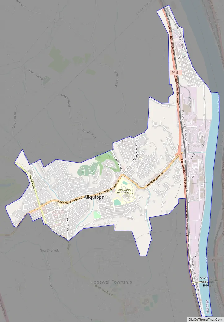
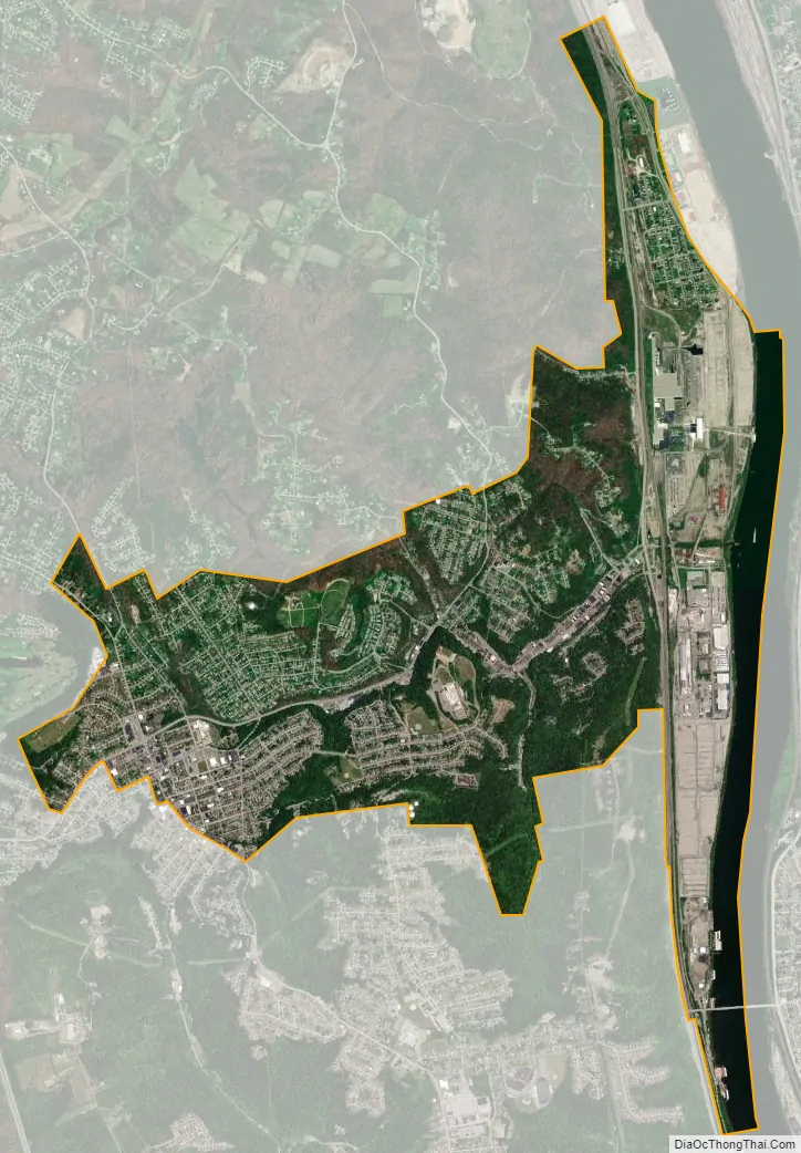
Aliquippa city Satellite Map
Geography
Aliquippa is located at 40°36′54″N 80°15′47″W / 40.61500°N 80.26306°W / 40.61500; -80.26306 (40.615, -80.263056).
Surrounding and adjacent neighborhoods
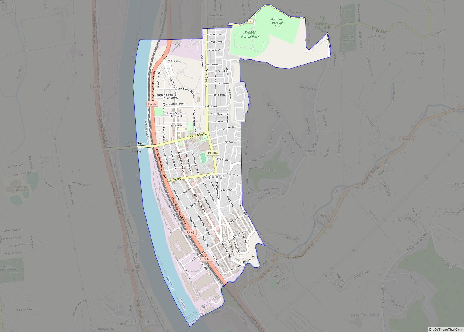
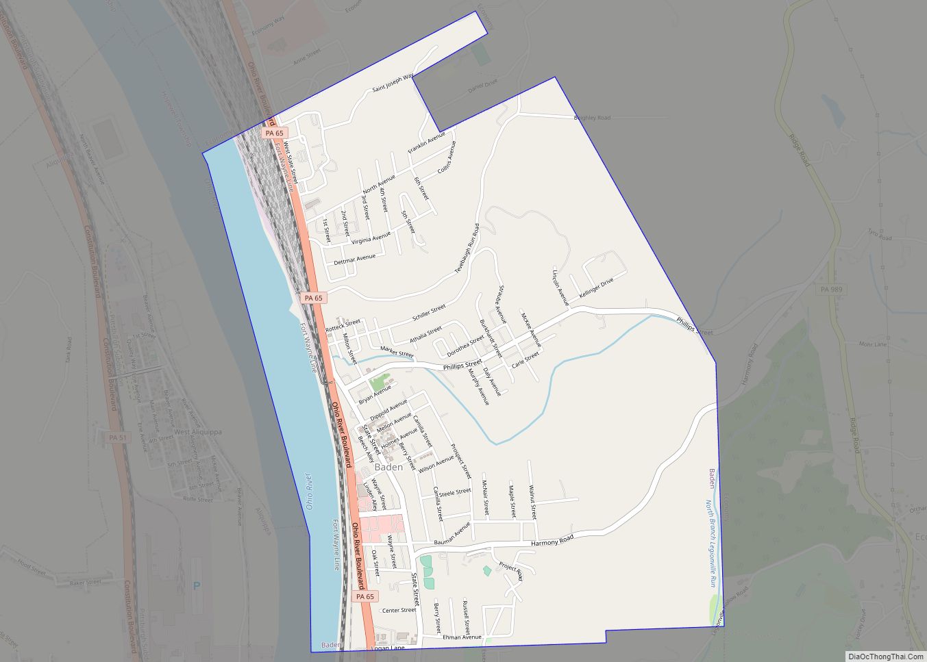
Aliquippa is entirely landlocked by Hopewell Township. Across the Ohio River, the city runs adjacent with, from north to south, the borough of Baden, Harmony Township and the borough of Ambridge which connects to Aliquippa via the Ambridge–Aliquippa Bridge.
See also
Map of Pennsylvania State and its subdivision:- Adams
- Allegheny
- Armstrong
- Beaver
- Bedford
- Berks
- Blair
- Bradford
- Bucks
- Butler
- Cambria
- Cameron
- Carbon
- Centre
- Chester
- Clarion
- Clearfield
- Clinton
- Columbia
- Crawford
- Cumberland
- Dauphin
- Delaware
- Elk
- Erie
- Fayette
- Forest
- Franklin
- Fulton
- Greene
- Huntingdon
- Indiana
- Jefferson
- Juniata
- Lackawanna
- Lancaster
- Lawrence
- Lebanon
- Lehigh
- Luzerne
- Lycoming
- Mc Kean
- Mercer
- Mifflin
- Monroe
- Montgomery
- Montour
- Northampton
- Northumberland
- Perry
- Philadelphia
- Pike
- Potter
- Schuylkill
- Snyder
- Somerset
- Sullivan
- Susquehanna
- Tioga
- Union
- Venango
- Warren
- Washington
- Wayne
- Westmoreland
- Wyoming
- York
- Alabama
- Alaska
- Arizona
- Arkansas
- California
- Colorado
- Connecticut
- Delaware
- District of Columbia
- Florida
- Georgia
- Hawaii
- Idaho
- Illinois
- Indiana
- Iowa
- Kansas
- Kentucky
- Louisiana
- Maine
- Maryland
- Massachusetts
- Michigan
- Minnesota
- Mississippi
- Missouri
- Montana
- Nebraska
- Nevada
- New Hampshire
- New Jersey
- New Mexico
- New York
- North Carolina
- North Dakota
- Ohio
- Oklahoma
- Oregon
- Pennsylvania
- Rhode Island
- South Carolina
- South Dakota
- Tennessee
- Texas
- Utah
- Vermont
- Virginia
- Washington
- West Virginia
- Wisconsin
- Wyoming