Koppel is a borough in northern Beaver County, Pennsylvania, United States. The population was 708 at the 2020 census. It is part of the Pittsburgh metropolitan area.
| Name: | Koppel borough |
|---|---|
| LSAD Code: | 21 |
| LSAD Description: | borough (suffix) |
| State: | Pennsylvania |
| County: | Beaver County |
| Incorporated: | 1910 |
| Elevation: | 906 ft (276 m) |
| Total Area: | 0.57 sq mi (1.48 km²) |
| Land Area: | 0.54 sq mi (1.39 km²) |
| Water Area: | 0.04 sq mi (0.09 km²) |
| Total Population: | 712 |
| Population Density: | 1,325.88/sq mi (511.60/km²) |
| Area code: | 724 |
| FIPS code: | 4240400 |
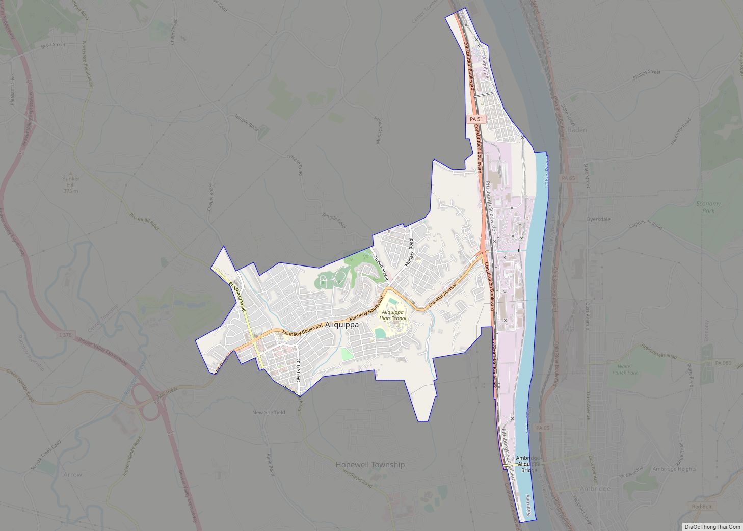
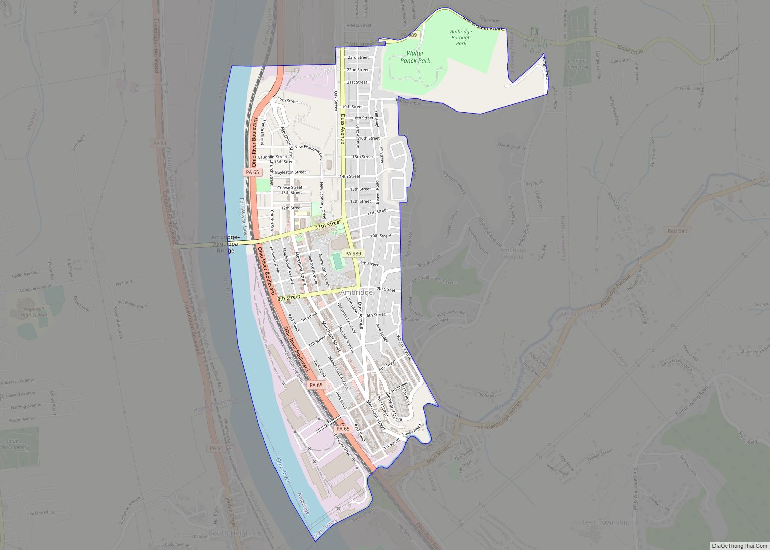
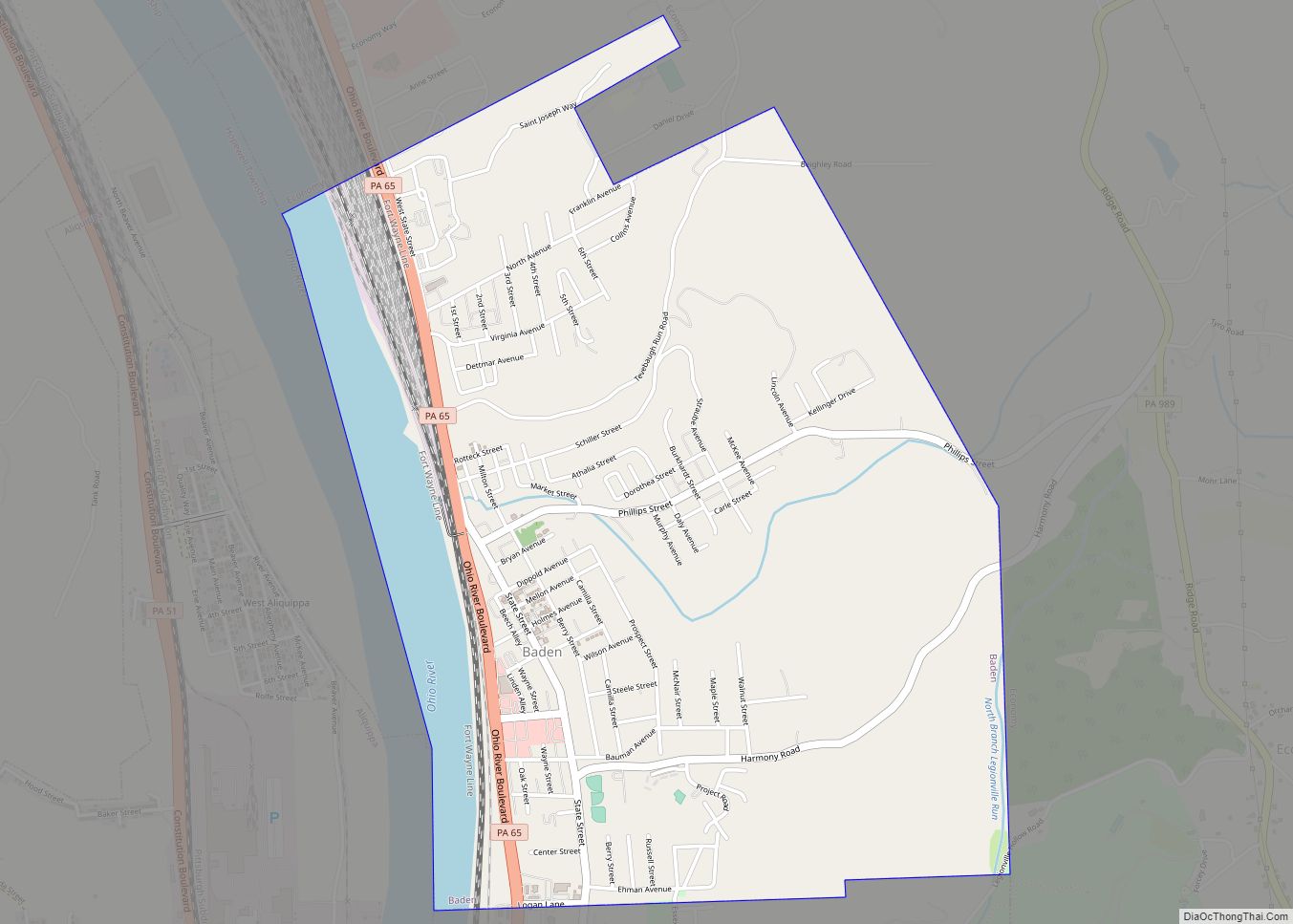
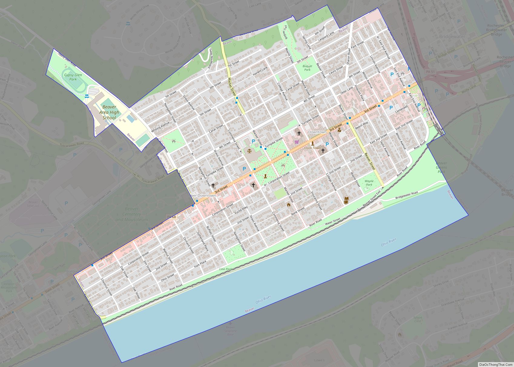
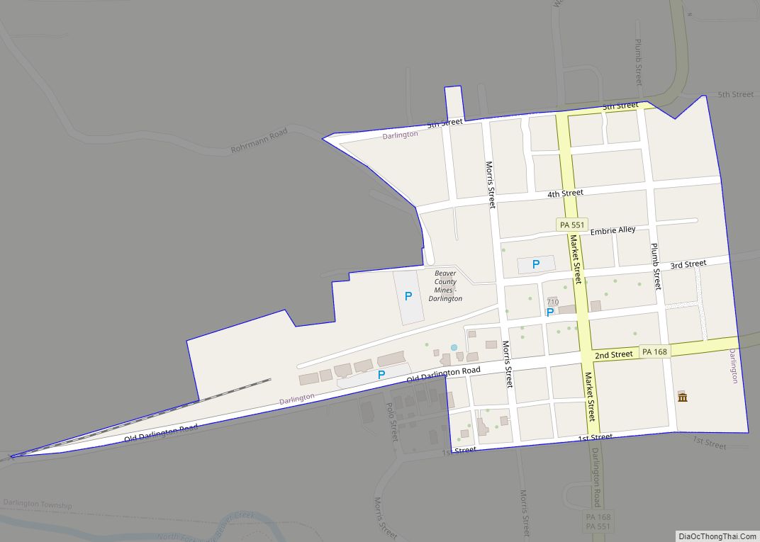
Online Interactive Map
Click on ![]() to view map in "full screen" mode.
to view map in "full screen" mode.
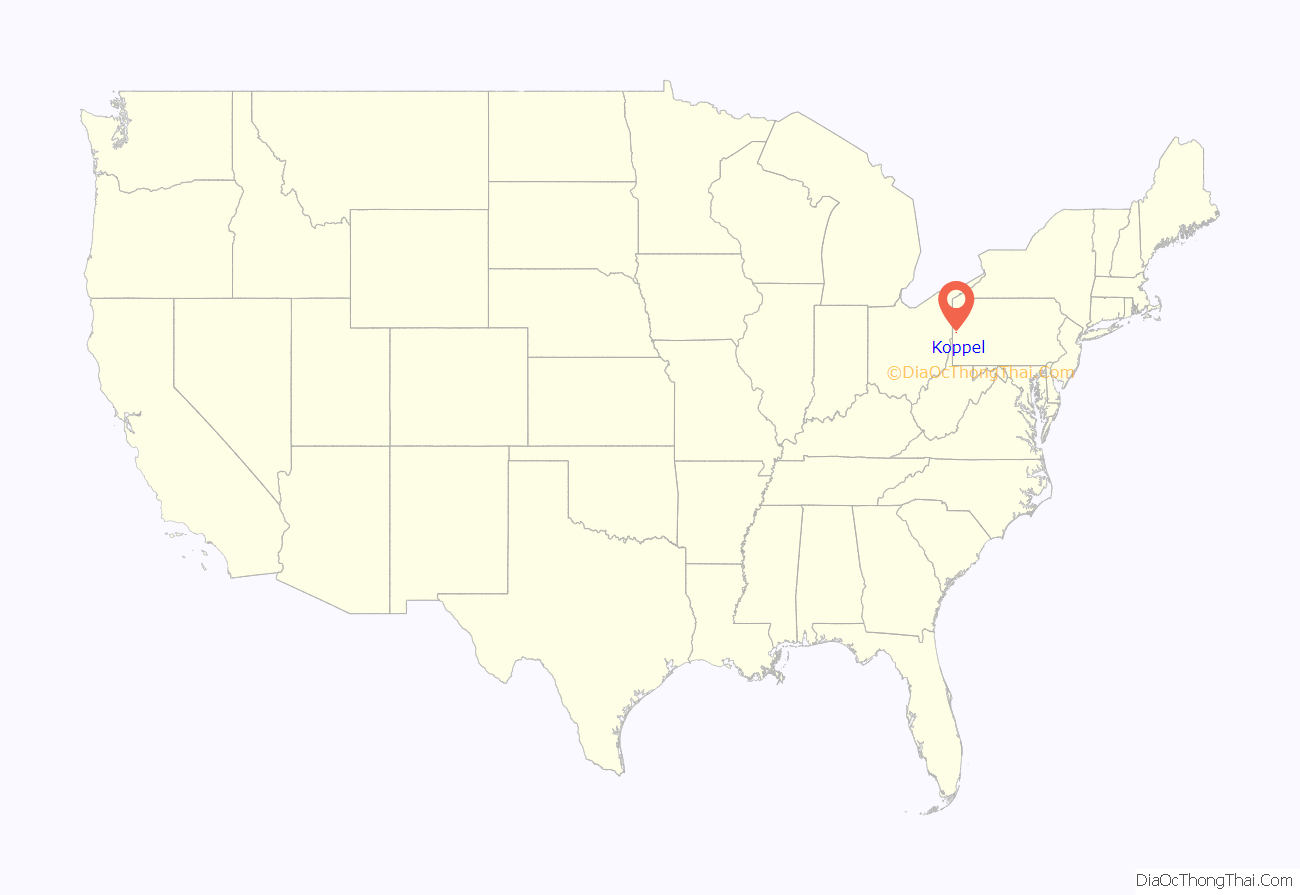
Koppel location map. Where is Koppel borough?
History
Koppel was named after Arthur Koppel of Orenstein & Koppel which was a German manufacturing company that owned 558 acres of land in nearby Big Beaver Township by 1907. In 1912, Koppel was established as a borough. The next year, Orenstein & Koppel donated land to the new borough for school and municipal buildings. After most of the town was confiscated by the Office of Alien Property Custodian from Orenstein & Koppel in 1917, much of the property was sold to the Koppel Industrial and Equipment Company. Other manufacturing companies had a presence in Koppel—the Pressed Steel Car Co. from 1919 to 1937 and Babcock & Wilcox during the 1950s.
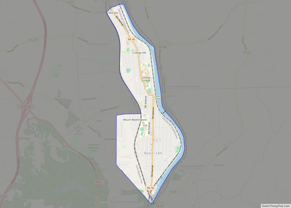
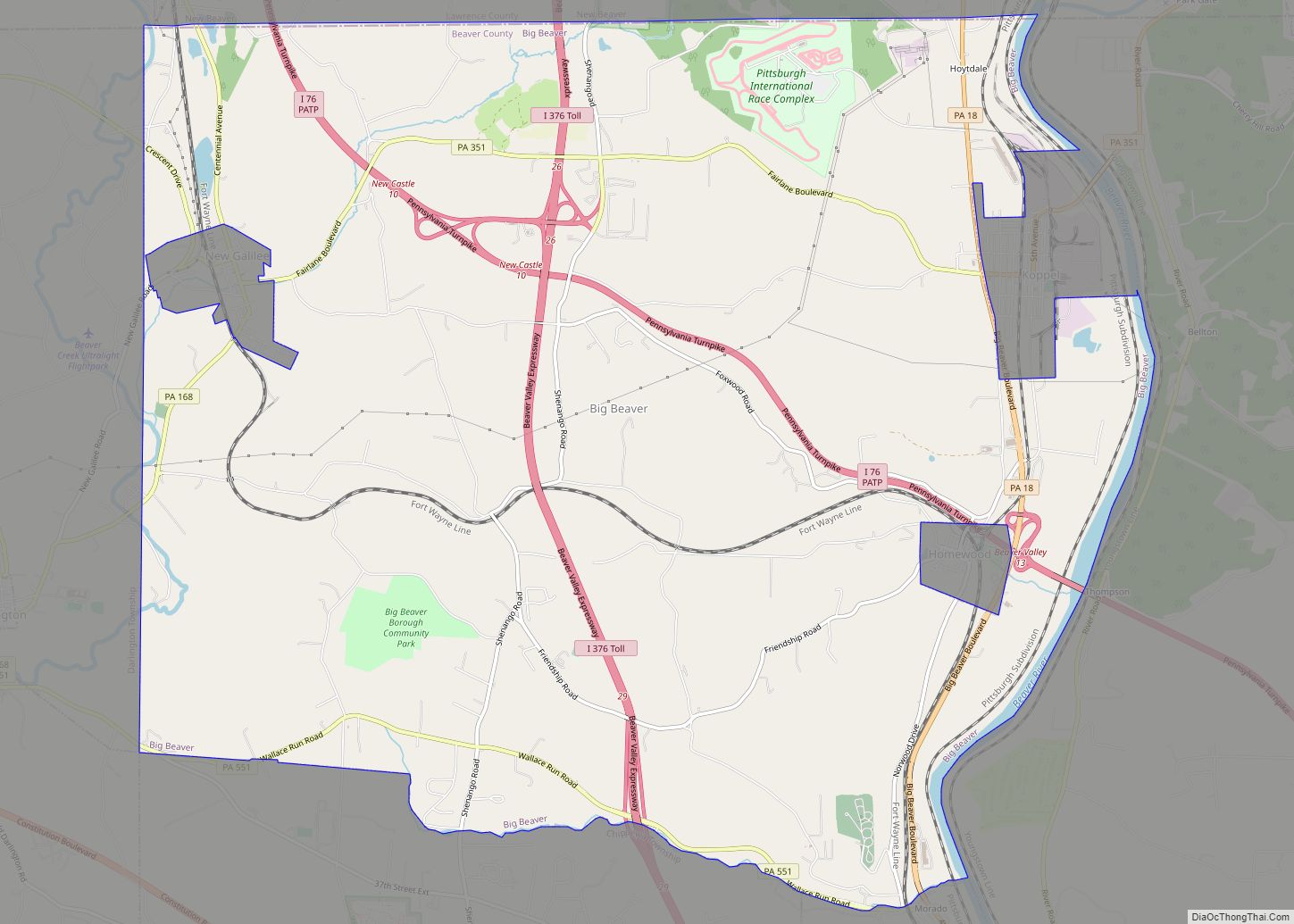
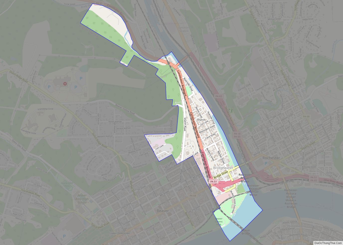
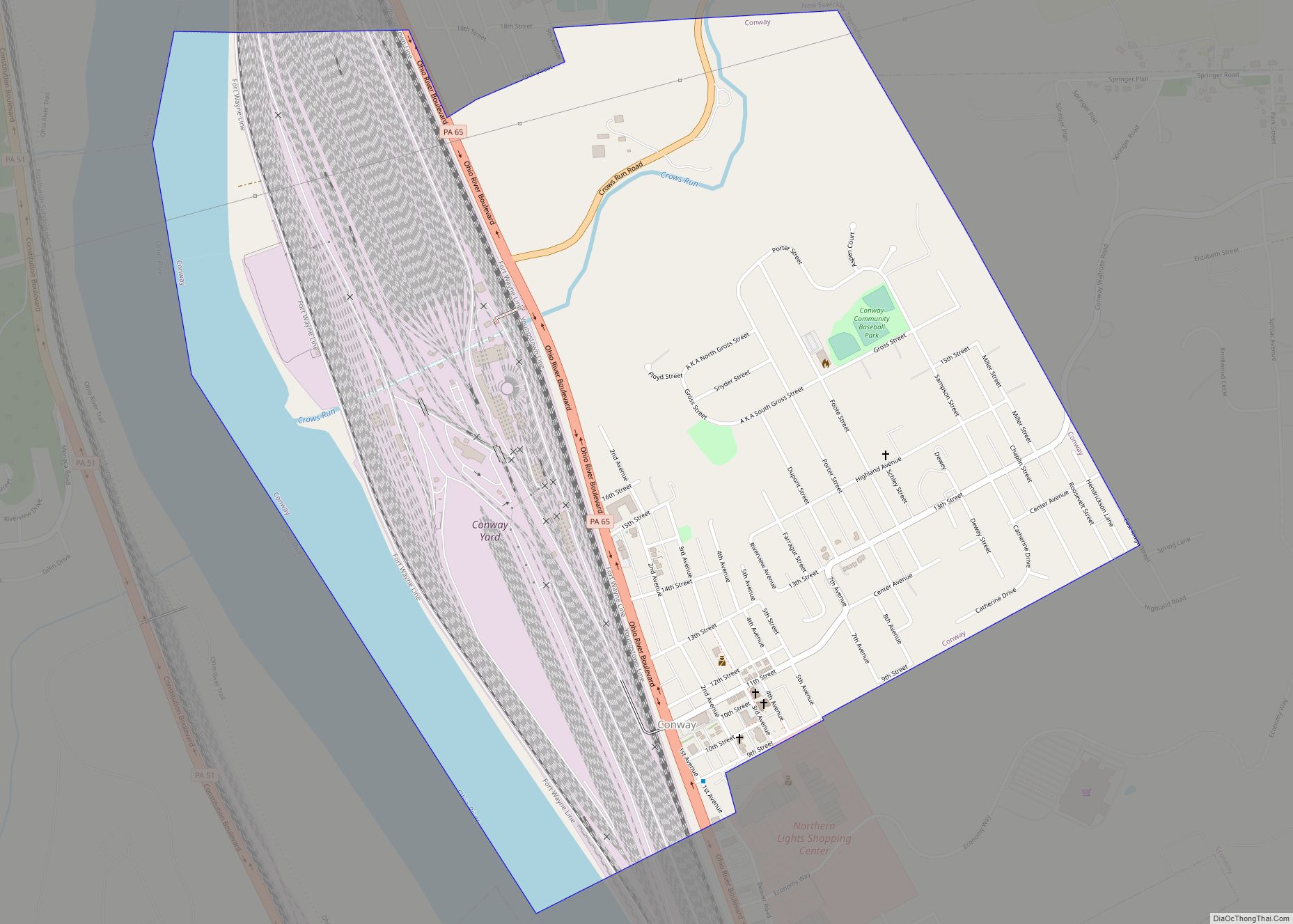
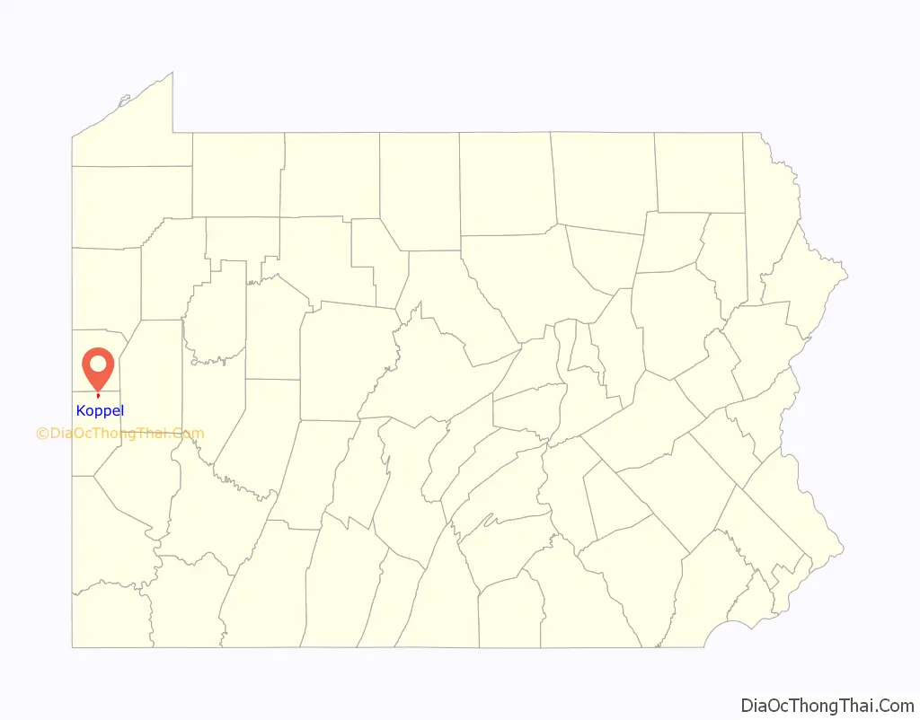
Koppel Road Map
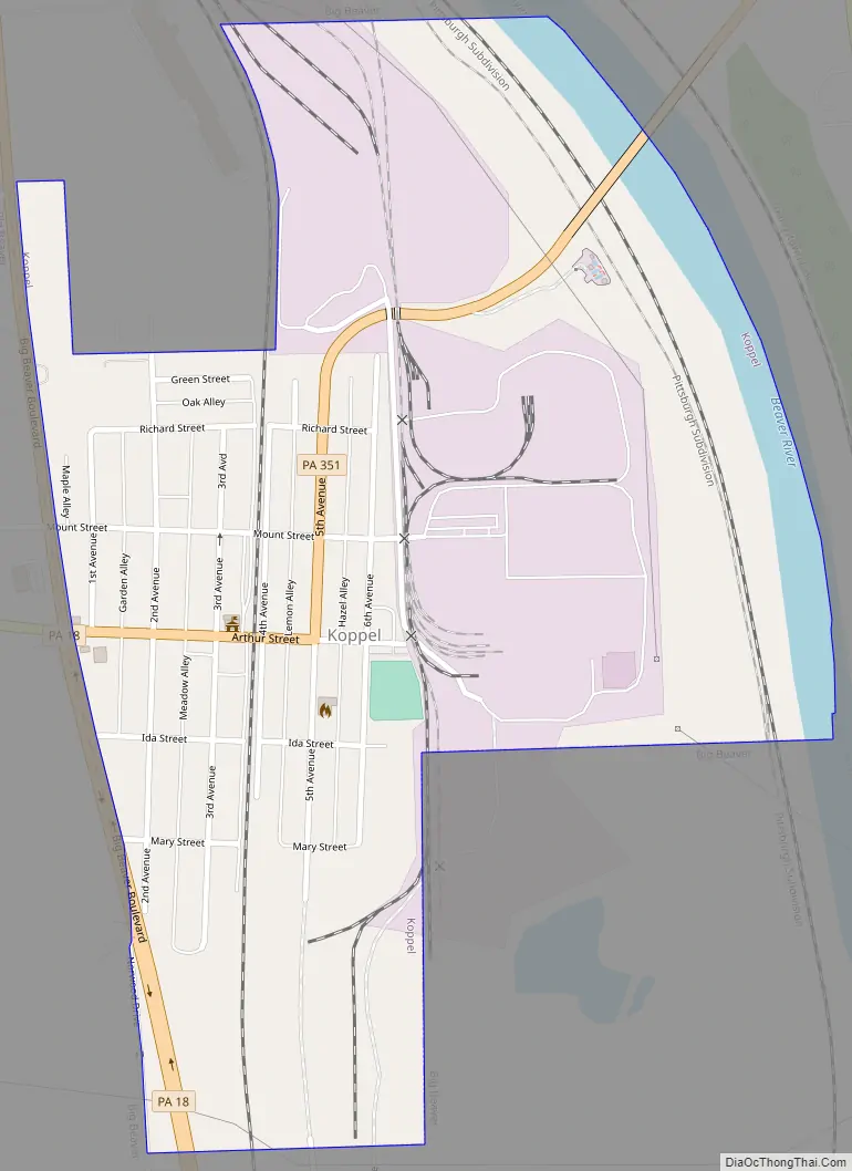
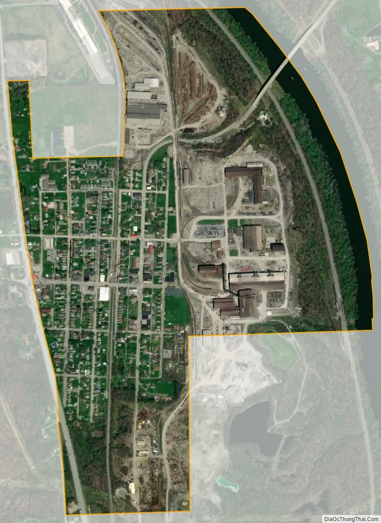
Koppel city Satellite Map
Geography
Koppel is located in northern Beaver County at 40°50′0″N 80°19′25″W / 40.83333°N 80.32361°W / 40.83333; -80.32361 (40.833402, -80.323675) along the west bank of the Beaver River. Pennsylvania Route 18 (Big Beaver Boulevard) follows the western border of the borough, leading south 6 miles (10 km) to Beaver Falls and north 14 miles (23 km) to New Castle. Pennsylvania Route 351 crosses Route 18 and runs through the center of Koppel, leading northeast 3 miles (5 km) to Ellwood City and west 2.5 miles (4.0 km) to Interstate 376 at the Pennsylvania Turnpike.
According to the United States Census Bureau, Koppel has a total area of 0.58 square miles (1.5 km), of which 0.54 square miles (1.4 km) is land and 0.039 square miles (0.1 km), or 6.14%, is water.
See also
Map of Pennsylvania State and its subdivision:- Adams
- Allegheny
- Armstrong
- Beaver
- Bedford
- Berks
- Blair
- Bradford
- Bucks
- Butler
- Cambria
- Cameron
- Carbon
- Centre
- Chester
- Clarion
- Clearfield
- Clinton
- Columbia
- Crawford
- Cumberland
- Dauphin
- Delaware
- Elk
- Erie
- Fayette
- Forest
- Franklin
- Fulton
- Greene
- Huntingdon
- Indiana
- Jefferson
- Juniata
- Lackawanna
- Lancaster
- Lawrence
- Lebanon
- Lehigh
- Luzerne
- Lycoming
- Mc Kean
- Mercer
- Mifflin
- Monroe
- Montgomery
- Montour
- Northampton
- Northumberland
- Perry
- Philadelphia
- Pike
- Potter
- Schuylkill
- Snyder
- Somerset
- Sullivan
- Susquehanna
- Tioga
- Union
- Venango
- Warren
- Washington
- Wayne
- Westmoreland
- Wyoming
- York
- Alabama
- Alaska
- Arizona
- Arkansas
- California
- Colorado
- Connecticut
- Delaware
- District of Columbia
- Florida
- Georgia
- Hawaii
- Idaho
- Illinois
- Indiana
- Iowa
- Kansas
- Kentucky
- Louisiana
- Maine
- Maryland
- Massachusetts
- Michigan
- Minnesota
- Mississippi
- Missouri
- Montana
- Nebraska
- Nevada
- New Hampshire
- New Jersey
- New Mexico
- New York
- North Carolina
- North Dakota
- Ohio
- Oklahoma
- Oregon
- Pennsylvania
- Rhode Island
- South Carolina
- South Dakota
- Tennessee
- Texas
- Utah
- Vermont
- Virginia
- Washington
- West Virginia
- Wisconsin
- Wyoming