Portage is a city in Kalamazoo County in the U.S. state of Michigan. The population was 46,292 in the 2010 census. It is the smaller of the two main cities included in the Kalamazoo-Portage Metropolitan Statistical Area, which has a population of 326,589 as of 2010. Portage is known for its Pharmaceutical manufacturing and celery agriculture. On February 19, 2021, the president of the United States, Joe Biden, visited Portage to commemorate the production of the Pfizer Vaccine.
| Name: | Portage city |
|---|---|
| LSAD Code: | 25 |
| LSAD Description: | city (suffix) |
| State: | Michigan |
| County: | Kalamazoo County |
| Incorporated: | December 31, 1963 |
| Total Area: | 35.25 sq mi (91.30 km²) |
| Land Area: | 32.29 sq mi (83.64 km²) |
| Water Area: | 2.96 sq mi (7.66 km²) 8.36% |
| Total Population: | 48,891 |
| Population Density: | 1,531.61/sq mi (591.35/km²) |
| ZIP code: | 49002, 49024, 49081 |
| Area code: | 269 |
| FIPS code: | 2665560 |
| GNISfeature ID: | 635269 |
| Website: | www.portagemi.gov |
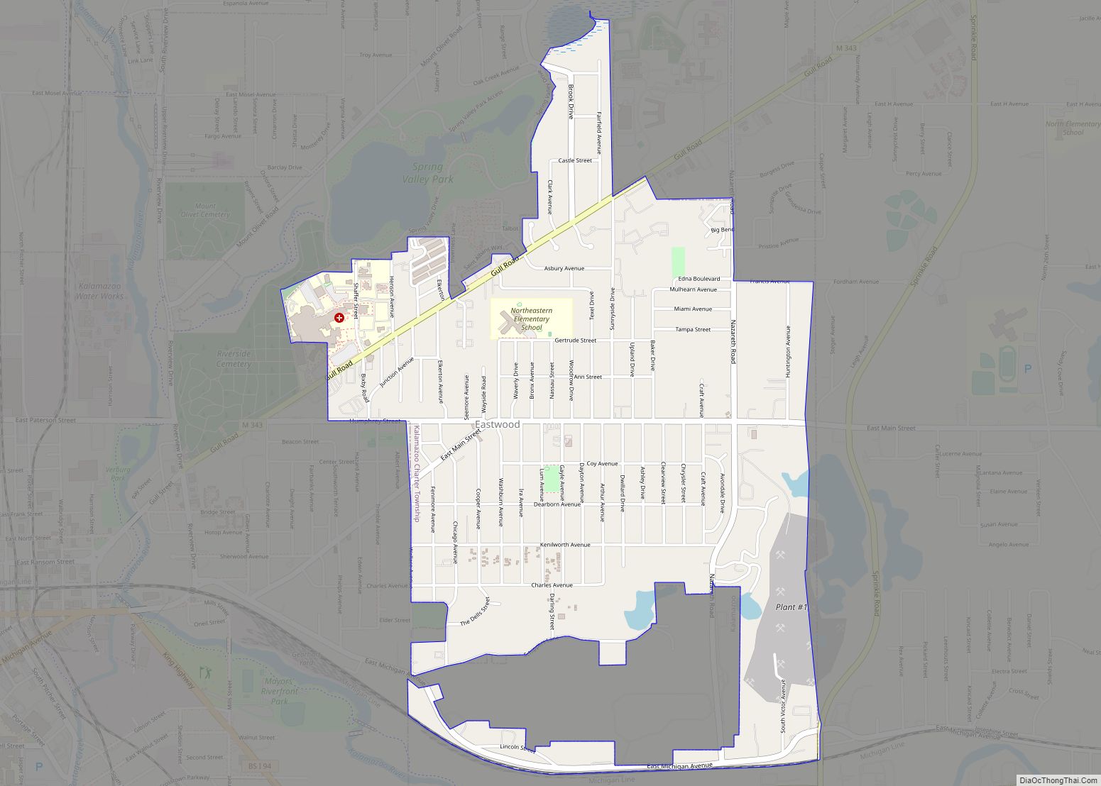
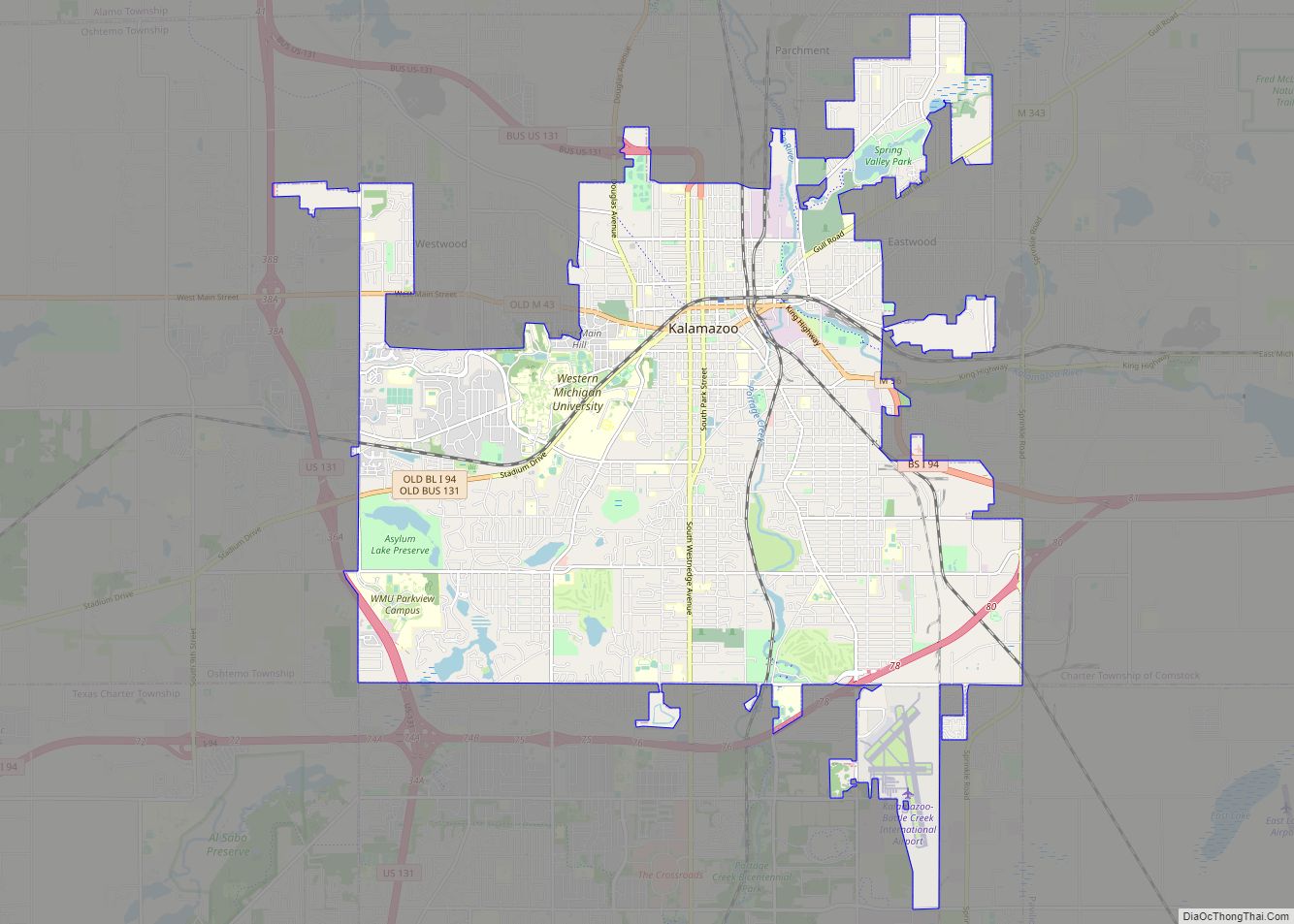
Online Interactive Map
Click on ![]() to view map in "full screen" mode.
to view map in "full screen" mode.
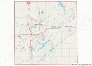
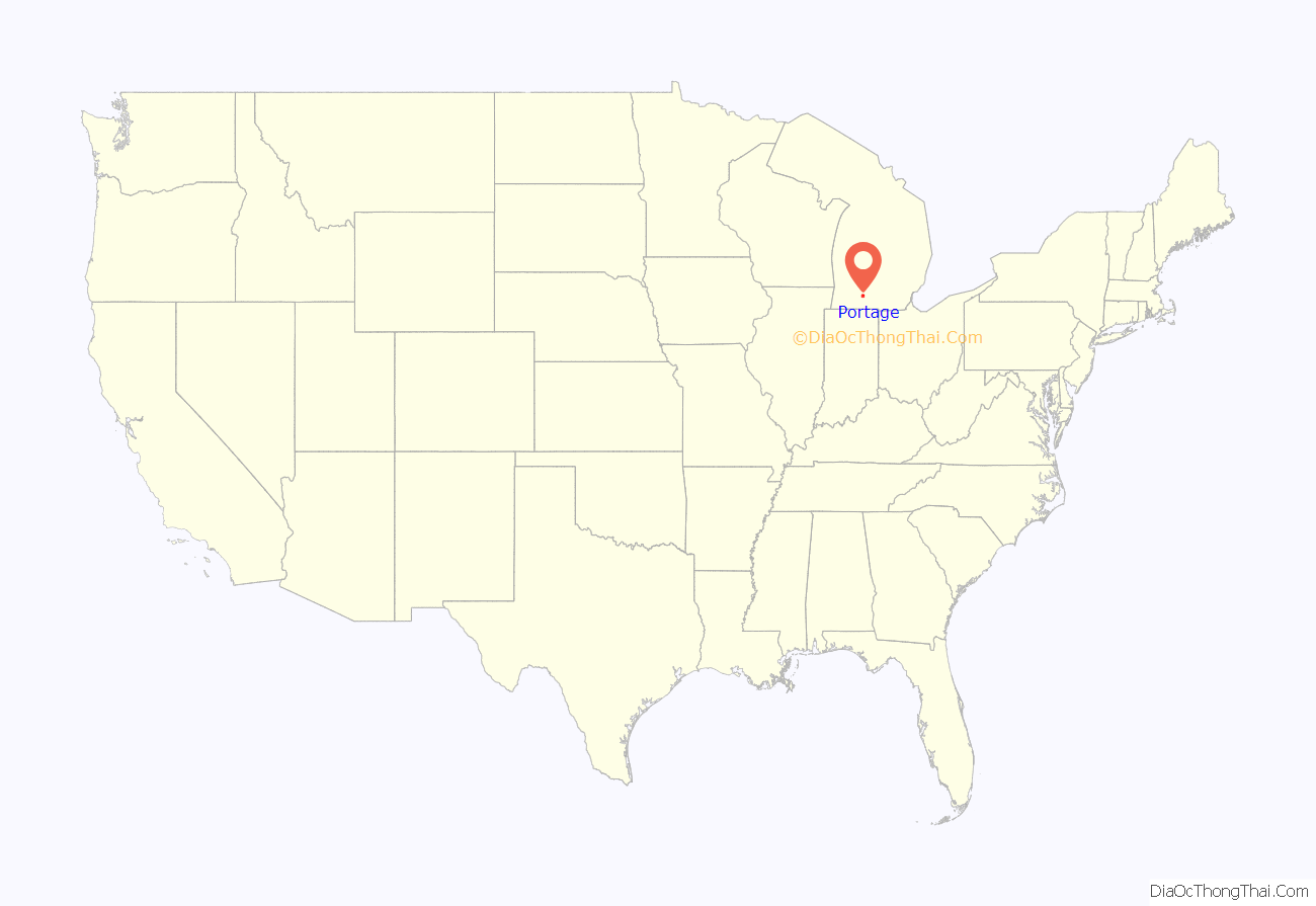
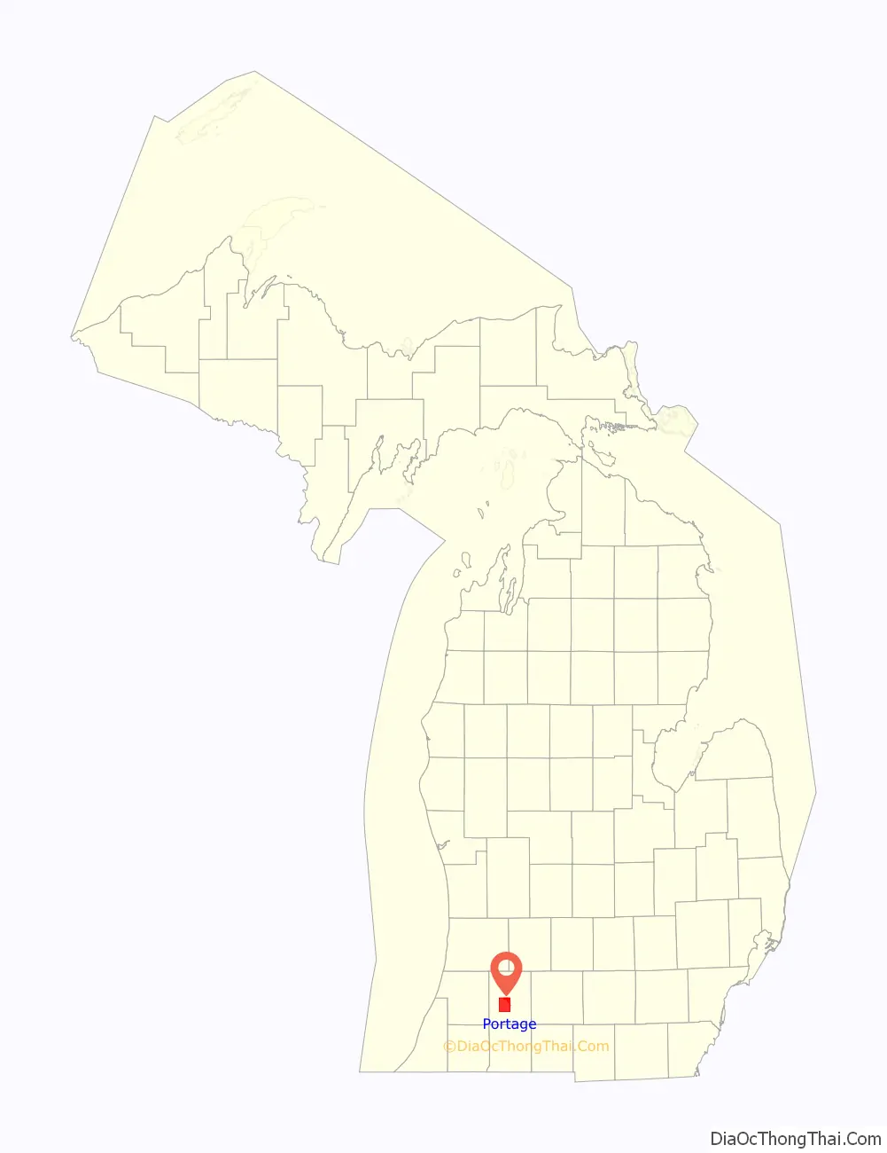
Portage location map. Where is Portage city?
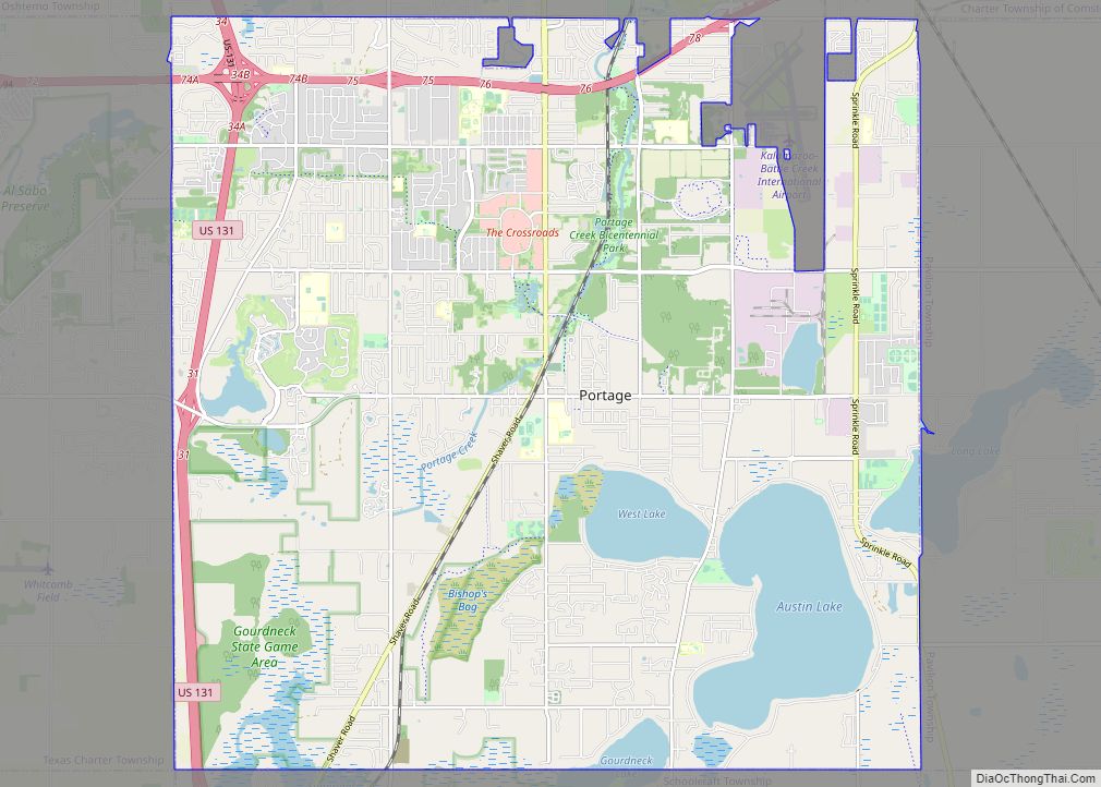
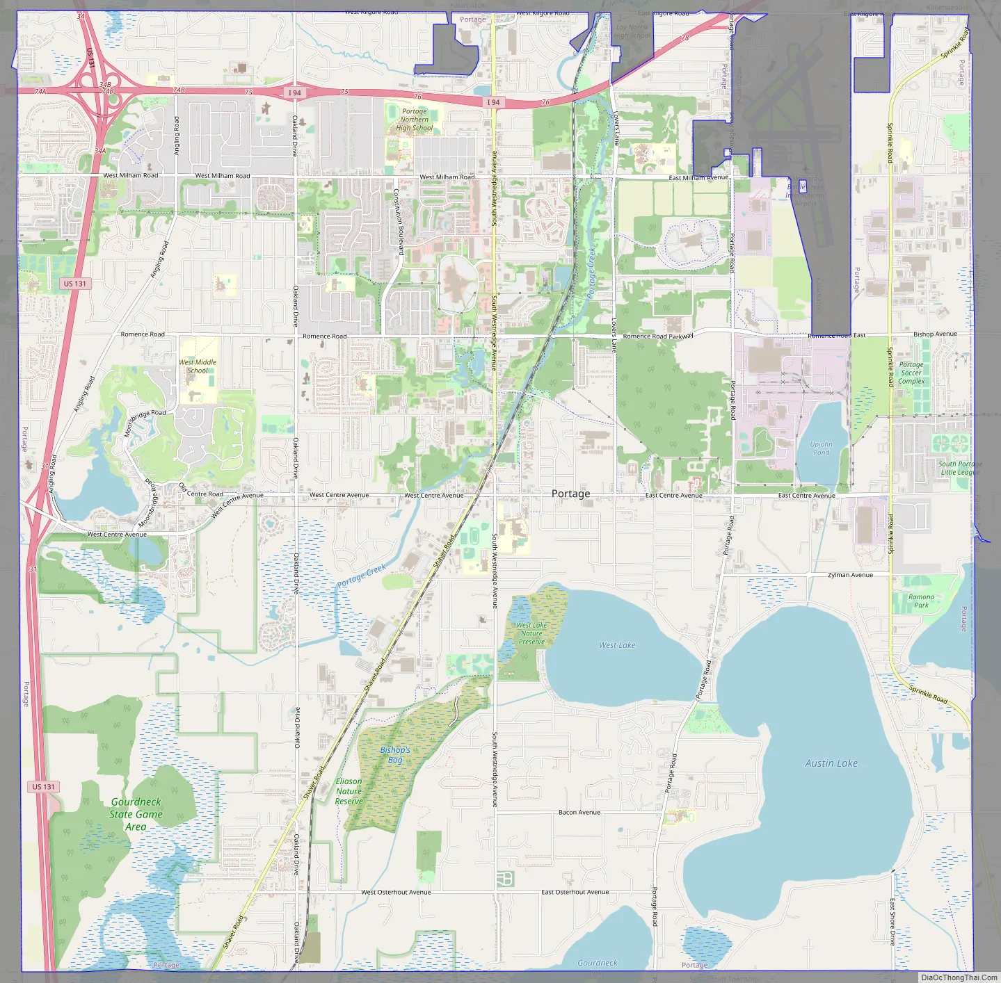
Portage Road Map
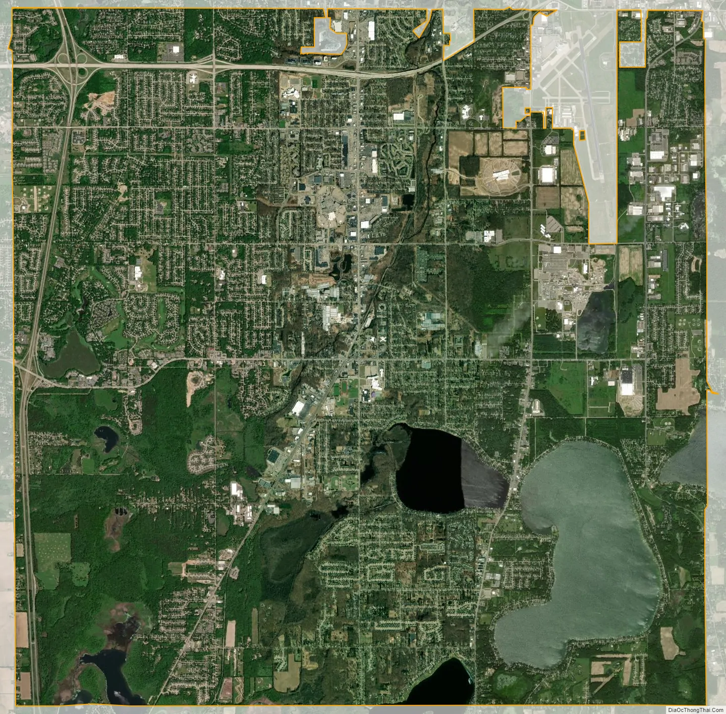
Portage city Satellite Map
Geography
According to the United States Census Bureau, the city has a total area of 35.17 square miles (91.09 km), of which 32.23 square miles (83.48 km) is land and 2.94 square miles (7.61 km) is water.
Austin Lake is in the southeast part of the city and was named for Moses Austin, who had emigrated to Portage Township from Genesee County, New York, in 1833. A settlement grew on the north shore of the lake, known as Austin or Austin Lake. A post office named “Austin’s Lake” was established on May 18, 1850, with Austin as postmaster, and operated until August 15, 1853. The place was also a station on the Grand Rapids and Indiana Railroad in 1867. West Lake is adjacent to Austin Lake with Portage Road running between the two lakes.
See also
Map of Michigan State and its subdivision:- Alcona
- Alger
- Allegan
- Alpena
- Antrim
- Arenac
- Baraga
- Barry
- Bay
- Benzie
- Berrien
- Branch
- Calhoun
- Cass
- Charlevoix
- Cheboygan
- Chippewa
- Clare
- Clinton
- Crawford
- Delta
- Dickinson
- Eaton
- Emmet
- Genesee
- Gladwin
- Gogebic
- Grand Traverse
- Gratiot
- Hillsdale
- Houghton
- Huron
- Ingham
- Ionia
- Iosco
- Iron
- Isabella
- Jackson
- Kalamazoo
- Kalkaska
- Kent
- Keweenaw
- Lake
- Lake Hurron
- Lake Michigan
- Lake St. Clair
- Lake Superior
- Lapeer
- Leelanau
- Lenawee
- Livingston
- Luce
- Mackinac
- Macomb
- Manistee
- Marquette
- Mason
- Mecosta
- Menominee
- Midland
- Missaukee
- Monroe
- Montcalm
- Montmorency
- Muskegon
- Newaygo
- Oakland
- Oceana
- Ogemaw
- Ontonagon
- Osceola
- Oscoda
- Otsego
- Ottawa
- Presque Isle
- Roscommon
- Saginaw
- Saint Clair
- Saint Joseph
- Sanilac
- Schoolcraft
- Shiawassee
- Tuscola
- Van Buren
- Washtenaw
- Wayne
- Wexford
- Alabama
- Alaska
- Arizona
- Arkansas
- California
- Colorado
- Connecticut
- Delaware
- District of Columbia
- Florida
- Georgia
- Hawaii
- Idaho
- Illinois
- Indiana
- Iowa
- Kansas
- Kentucky
- Louisiana
- Maine
- Maryland
- Massachusetts
- Michigan
- Minnesota
- Mississippi
- Missouri
- Montana
- Nebraska
- Nevada
- New Hampshire
- New Jersey
- New Mexico
- New York
- North Carolina
- North Dakota
- Ohio
- Oklahoma
- Oregon
- Pennsylvania
- Rhode Island
- South Carolina
- South Dakota
- Tennessee
- Texas
- Utah
- Vermont
- Virginia
- Washington
- West Virginia
- Wisconsin
- Wyoming