Charlotte Harbor is a census-designated place (CDP) in Charlotte County, Florida, United States. The name Charlotte Harbor also refers to Charlotte Harbor (estuary) and Charlotte Harbor Preserve State Park, a 42,000-acre (17,000 ha) preserve with 70 miles (110 km) of shoreline along Charlotte Harbor in Charlotte County.
The population of Charlotte Harbor was 3,710 at the 2010 census. It is part of the Sarasota-Bradenton-Punta Gorda Combined Statistical Area.
| Name: | Charlotte Harbor CDP |
|---|---|
| LSAD Code: | 57 |
| LSAD Description: | CDP (suffix) |
| State: | Florida |
| County: | Charlotte County |
| Elevation: | 4 ft (1 m) |
| Total Area: | 5.00 sq mi (12.95 km²) |
| Land Area: | 2.32 sq mi (6.01 km²) |
| Water Area: | 2.68 sq mi (6.94 km²) |
| Total Population: | 3,784 |
| Population Density: | 1,631.03/sq mi (629.68/km²) |
| Area code: | 941 |
| FIPS code: | 1211625 |
| GNISfeature ID: | 0280326 |
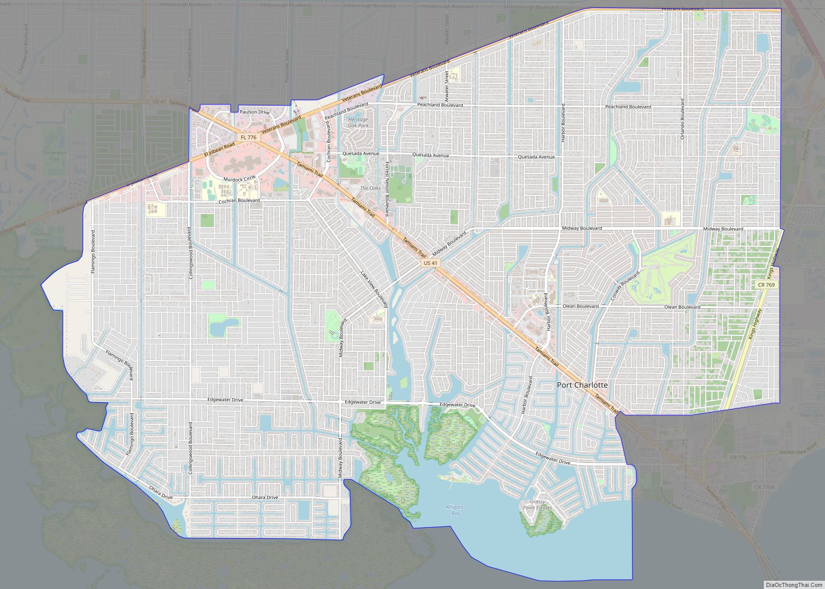
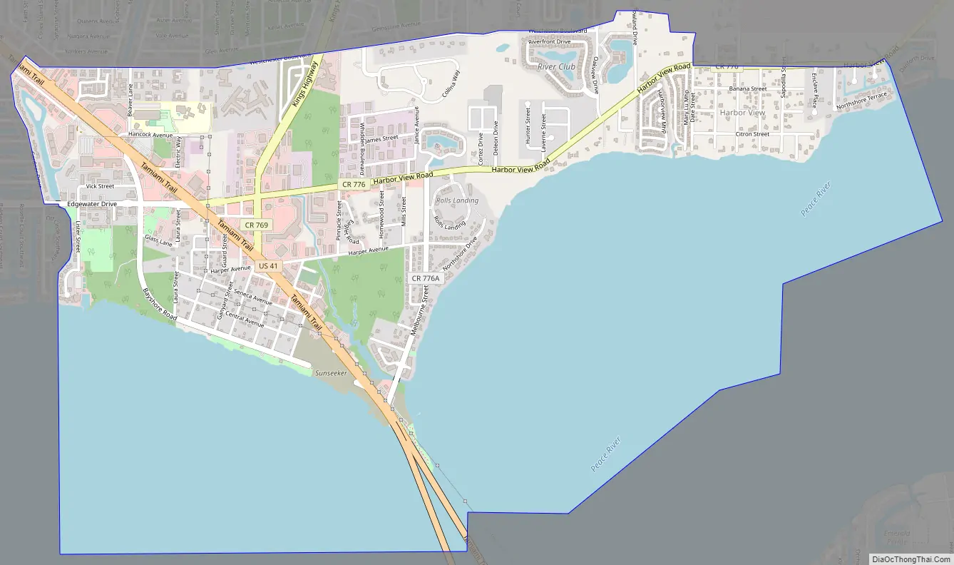
Online Interactive Map
Click on ![]() to view map in "full screen" mode.
to view map in "full screen" mode.
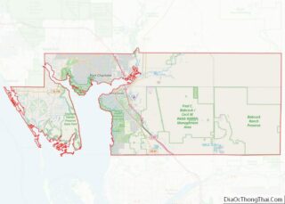
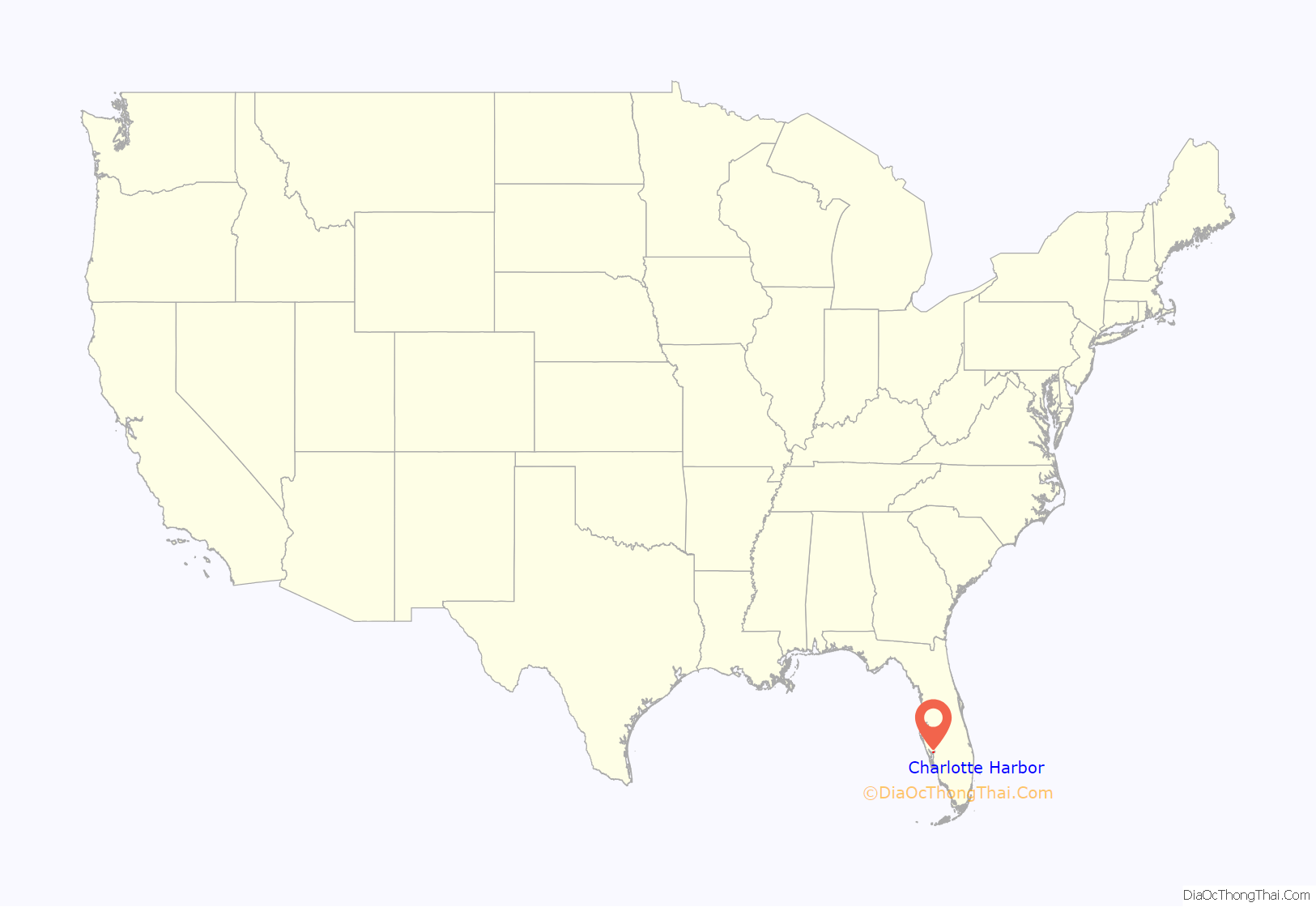
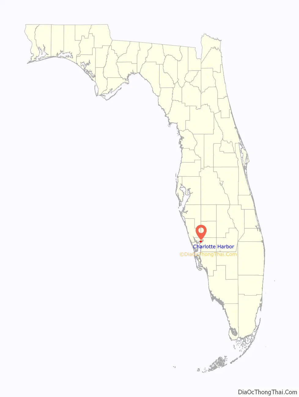
Charlotte Harbor location map. Where is Charlotte Harbor CDP?
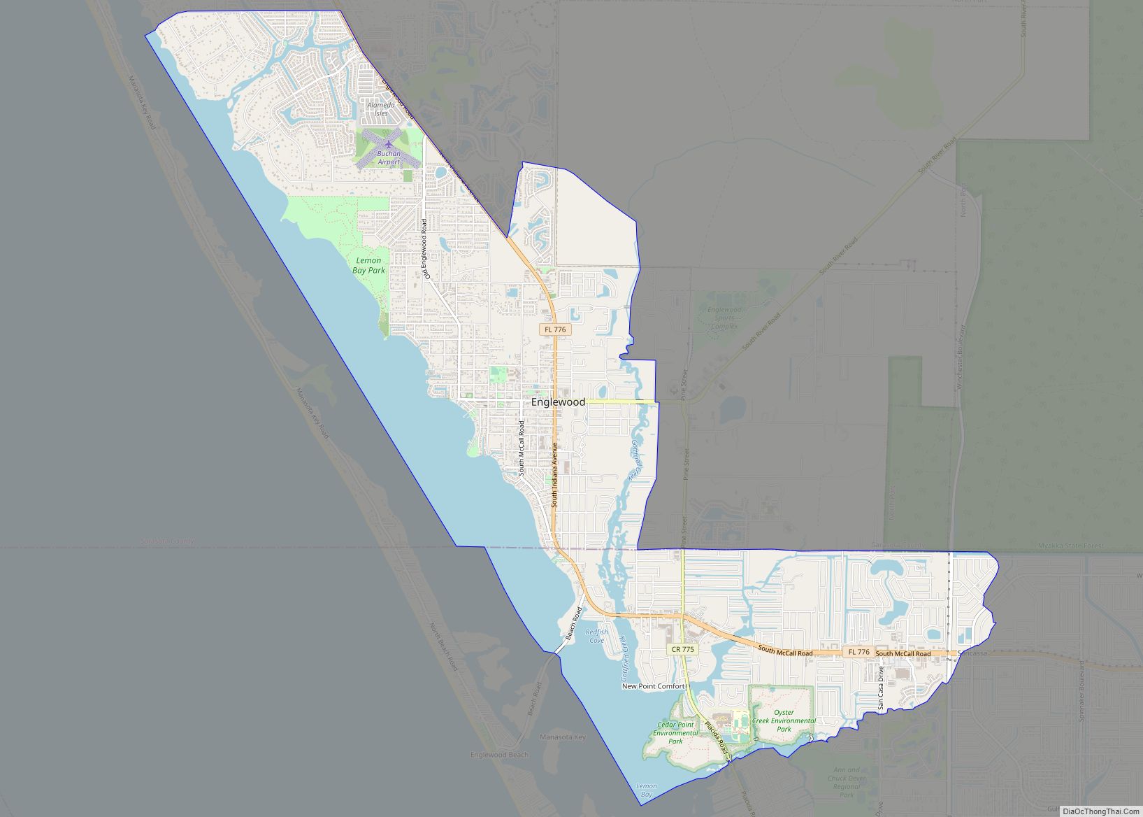
Charlotte Harbor Road Map
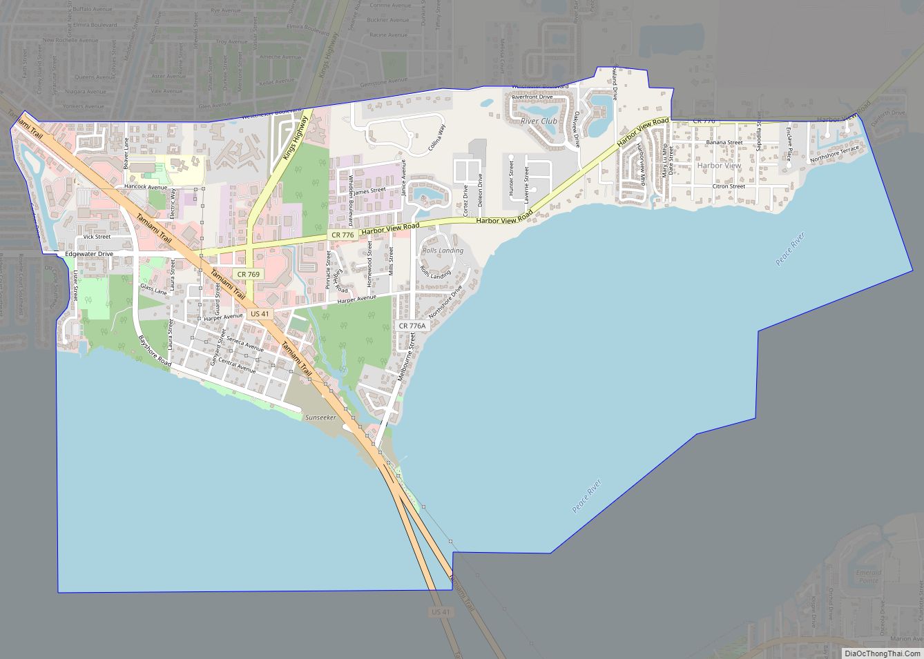
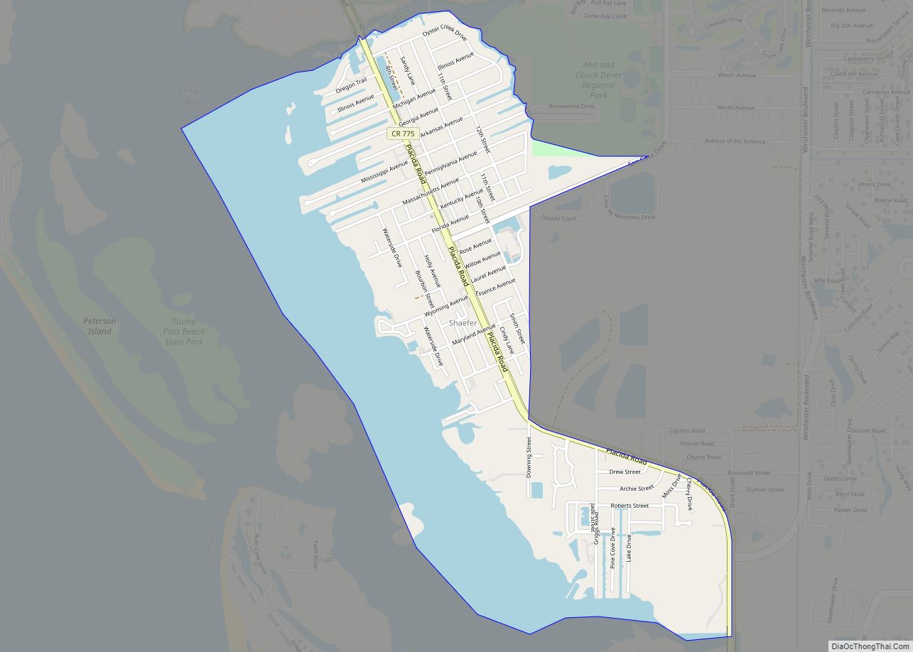
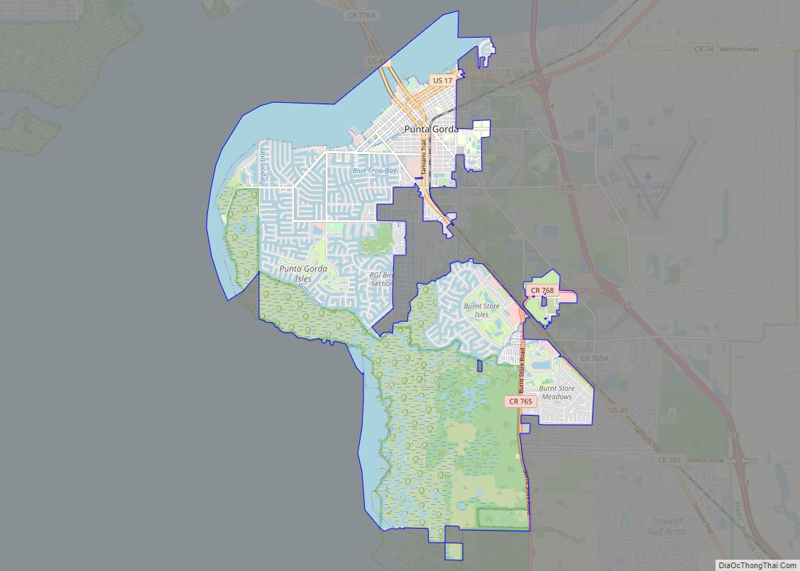
Charlotte Harbor city Satellite Map

Geography
Charlotte Harbor is located at 26°57′50″N 82°3′44″W / 26.96389°N 82.06222°W / 26.96389; -82.06222 (26.963897, -82.062267) on the north bank of the Peace River, the main tidal inlet to the Charlotte Harbor estuary, itself an arm of the Gulf of Mexico. U.S. Route 41, the Tamiami Trail, crosses the Peace River between Charlotte Harbor and Punta Gorda via the Barron Collier Bridge (northbound) and the Gilchrist Bridge (southbound).
According to the United States Census Bureau, the Charlotte Harbor CDP has a total area of 5.0 square miles (13.0 km), of which 2.3 square miles (6.0 km) is land and 2.7 square miles (7.0 km), or 53.95%, is water.
See also
Map of Florida State and its subdivision:- Alachua
- Baker
- Bay
- Bradford
- Brevard
- Broward
- Calhoun
- Charlotte
- Citrus
- Clay
- Collier
- Columbia
- Desoto
- Dixie
- Duval
- Escambia
- Flagler
- Franklin
- Gadsden
- Gilchrist
- Glades
- Gulf
- Hamilton
- Hardee
- Hendry
- Hernando
- Highlands
- Hillsborough
- Holmes
- Indian River
- Jackson
- Jefferson
- Lafayette
- Lake
- Lee
- Leon
- Levy
- Liberty
- Madison
- Manatee
- Marion
- Martin
- Miami-Dade
- Monroe
- Nassau
- Okaloosa
- Okeechobee
- Orange
- Osceola
- Palm Beach
- Pasco
- Pinellas
- Polk
- Putnam
- Saint Johns
- Saint Lucie
- Santa Rosa
- Sarasota
- Seminole
- Sumter
- Suwannee
- Taylor
- Union
- Volusia
- Wakulla
- Walton
- Washington
- Alabama
- Alaska
- Arizona
- Arkansas
- California
- Colorado
- Connecticut
- Delaware
- District of Columbia
- Florida
- Georgia
- Hawaii
- Idaho
- Illinois
- Indiana
- Iowa
- Kansas
- Kentucky
- Louisiana
- Maine
- Maryland
- Massachusetts
- Michigan
- Minnesota
- Mississippi
- Missouri
- Montana
- Nebraska
- Nevada
- New Hampshire
- New Jersey
- New Mexico
- New York
- North Carolina
- North Dakota
- Ohio
- Oklahoma
- Oregon
- Pennsylvania
- Rhode Island
- South Carolina
- South Dakota
- Tennessee
- Texas
- Utah
- Vermont
- Virginia
- Washington
- West Virginia
- Wisconsin
- Wyoming