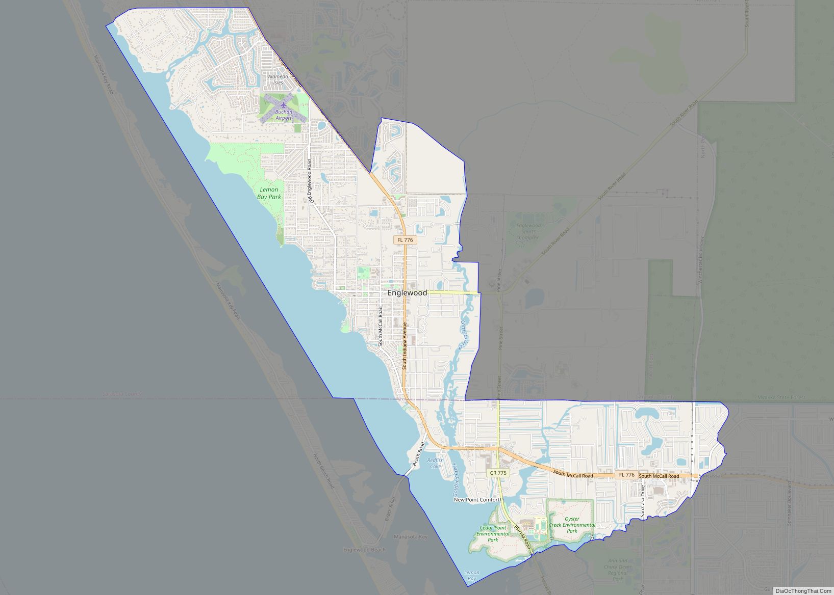
Port Charlotte is an unincorporated community and census-designated place (CDP) in Charlotte County, Florida, United States. The population was 60,625 at the 2020 census. It is part of the Sarasota-Bradenton-Punta Gorda Combined Statistical Area.
Port Charlotte was named to the “10 Best Places to Retire”, in the United States for the year 2012 by U.S. News & World Report.
| Name: | Port Charlotte CDP |
|---|---|
| LSAD Code: | 57 |
| LSAD Description: | CDP (suffix) |
| State: | Florida |
| County: | Charlotte County |
| Elevation: | 7 ft (2 m) |
| Land Area: | 28.48 sq mi (73.76 km²) |
| Water Area: | 3.86 sq mi (9.99 km²) |
| Population Density: | 2,128.69/sq mi (821.88/km²) |
| ZIP code: | 33900-33999 |
| Area code: | 941 |
| FIPS code: | 1258350 |
| GNISfeature ID: | 0289233 |
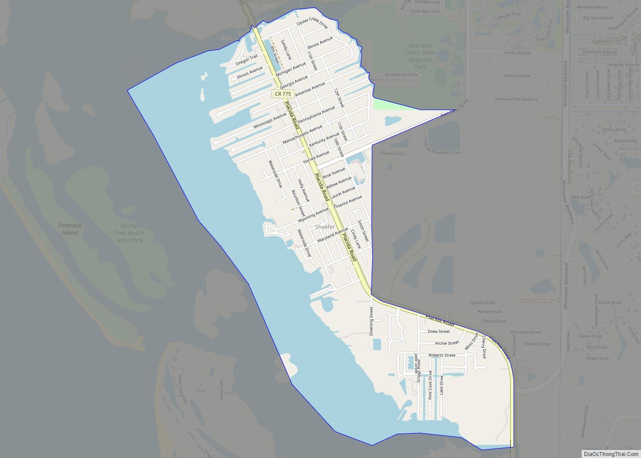
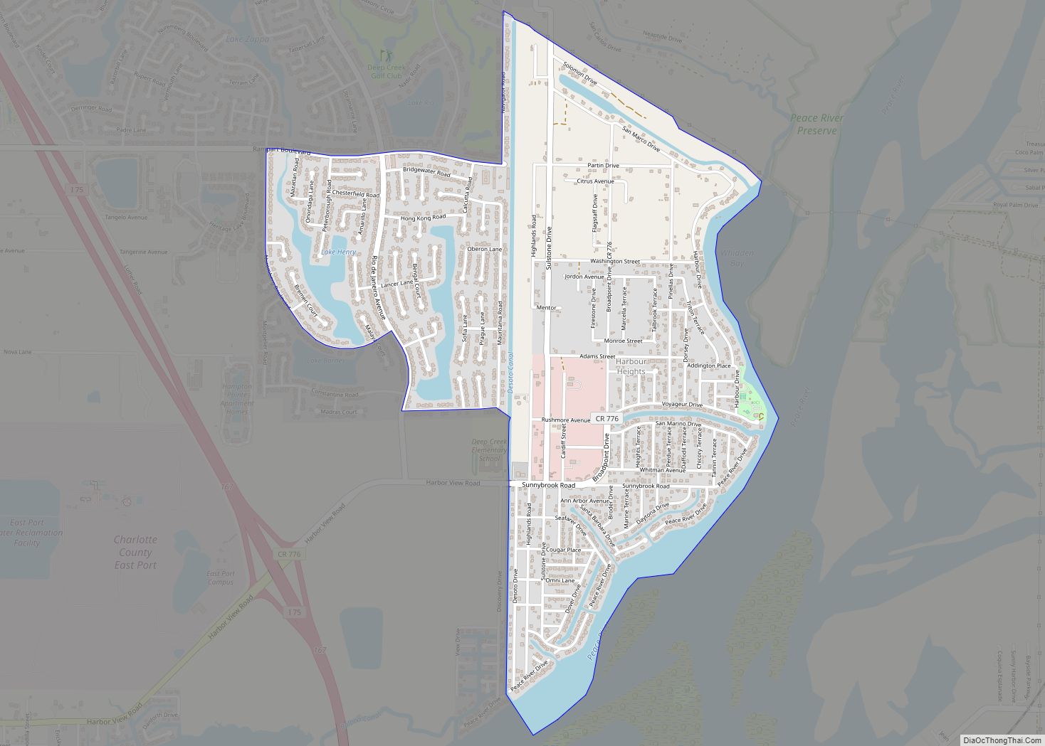
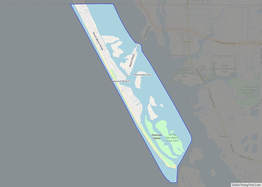
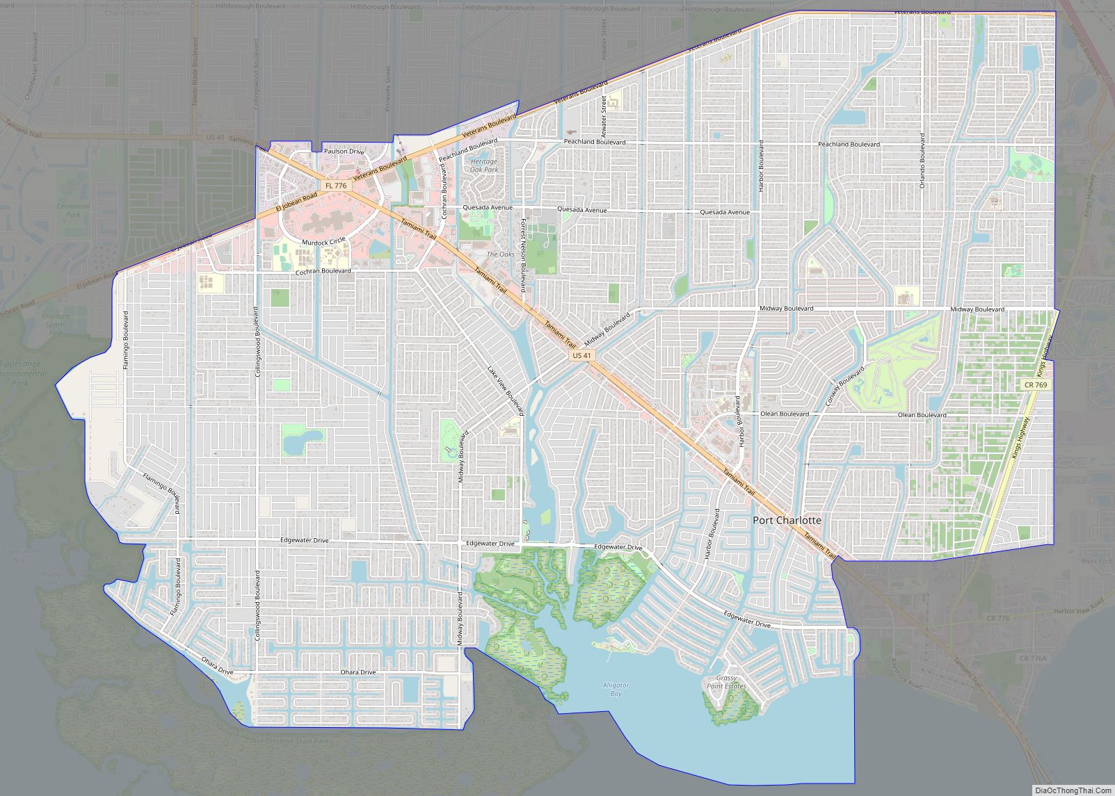
Online Interactive Map
Click on ![]() to view map in "full screen" mode.
to view map in "full screen" mode.
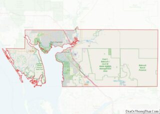
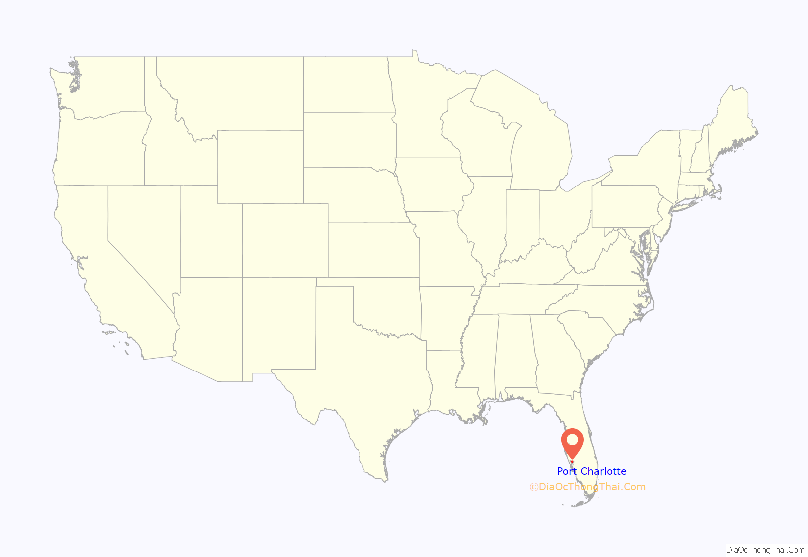
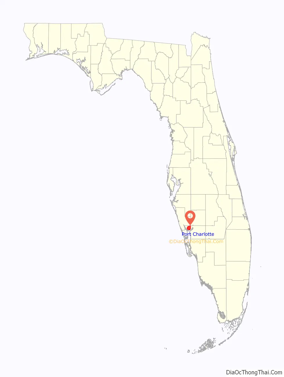
Port Charlotte location map. Where is Port Charlotte CDP?
History
The first people to call the Port Charlotte area home were the nomadic Paleo-Indians as they chased big game such as woolly mammoth southward during the last ice age around 10,000 BC. At the time, Port Charlotte was not a coastal area; the peninsula of Florida was much wider than it is today and much drier. As the ice melted, the sea level rose and Florida assumed the shape and climate it has today and the Paleo-Indians gave way to the Calusa, the “shell people.” The Calusa thrived on the southwest Florida coast and numbered over 50,000 when the first Spaniards reached the peninsula in the 16th century. The arrival of the Europeans was devastating to the Calusa, as diseases such as smallpox and measles decimated the population. Eventually the Seminole would arrive from points to the north and establish themselves on the peninsula.
In 1819, Florida was ceded by the Spanish and became a U.S. territory, and in 1845 Florida became the 27th state. For the first 100 years of statehood, the area around Port Charlotte was mostly undeveloped. Maps of the area at the turn of the 20th century show that most of the roads and railroads leading into southwest Florida had bypassed the Port Charlotte area. Aside from some cattle ranches and small farming, the area was mostly uninhabited. This would change when the post-World War II boom opened people’s eyes to the possibility of developing land in Florida.
In the 1950s, the now defunct General Development Corporation led by the Mackle brothers decided to take advantage of the Florida land boom and developed land primarily on both of Florida’s coastlines. Among the areas they planned and developed was the Port Charlotte area. Ultimately, Port Charlotte became the most populous community in Charlotte County, although like most GDC developments, Port Charlotte remained an unincorporated community.
Port Charlotte was severely impacted by Hurricane Charley on August 13, 2004. The hurricane, predicted to hit Tampa as a Category 2 hurricane, took a last-minute right hand turn and intensified into a Category 4 storm as it made landfall near Charlotte Harbor and caused severe damage in the city of Punta Gorda and in the Port Charlotte area. The storm’s 145 miles per hour (233 km/h) maximum sustained winds destroyed almost half of the homes in the county and caused heavy ecological damage to sensitive wetlands in the area.
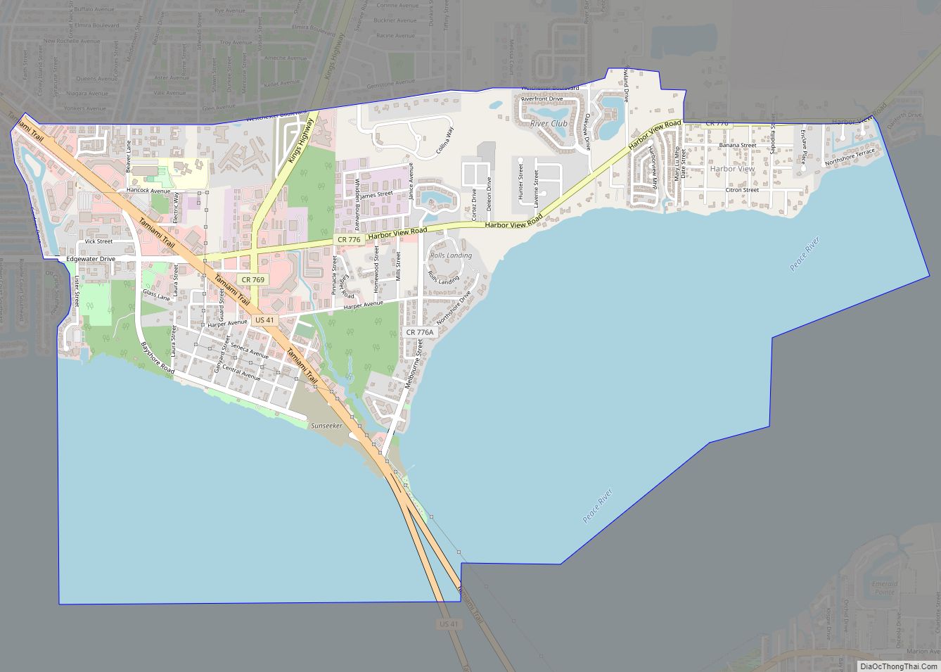
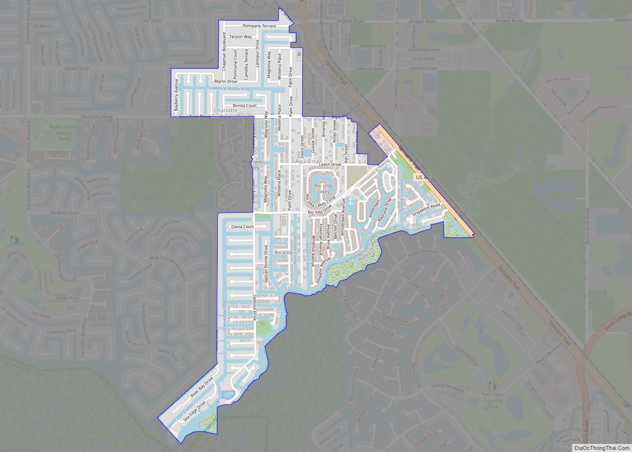
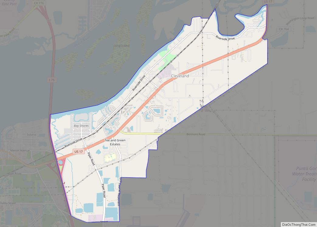
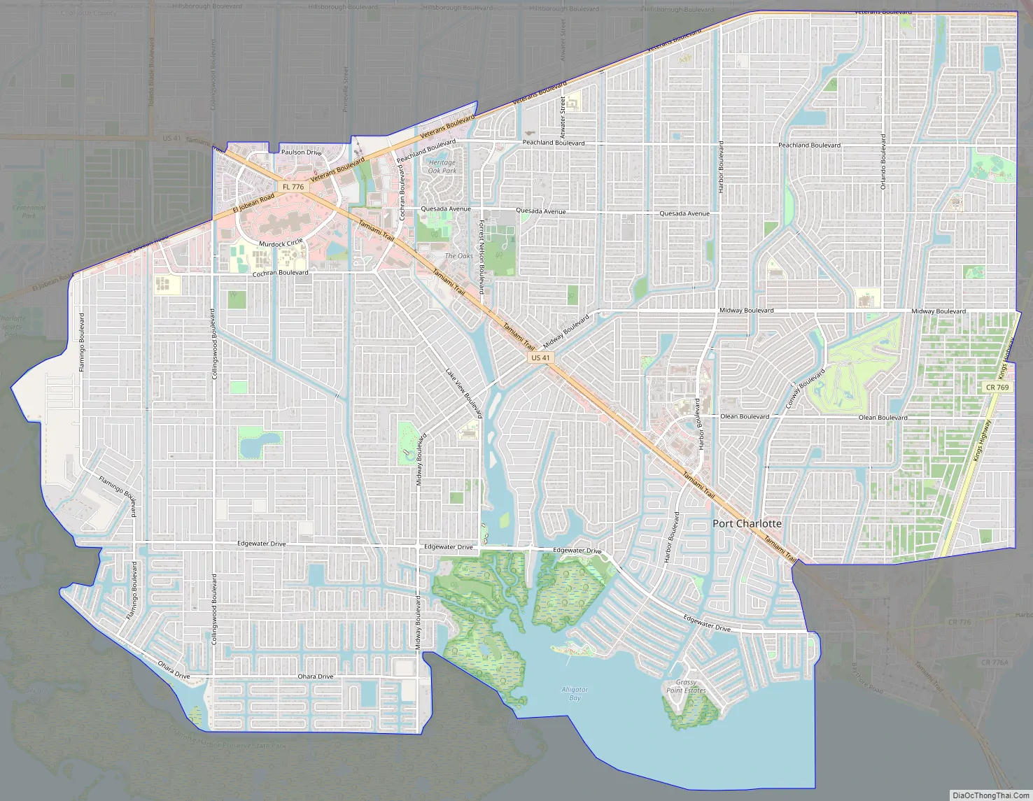
Port Charlotte Road Map
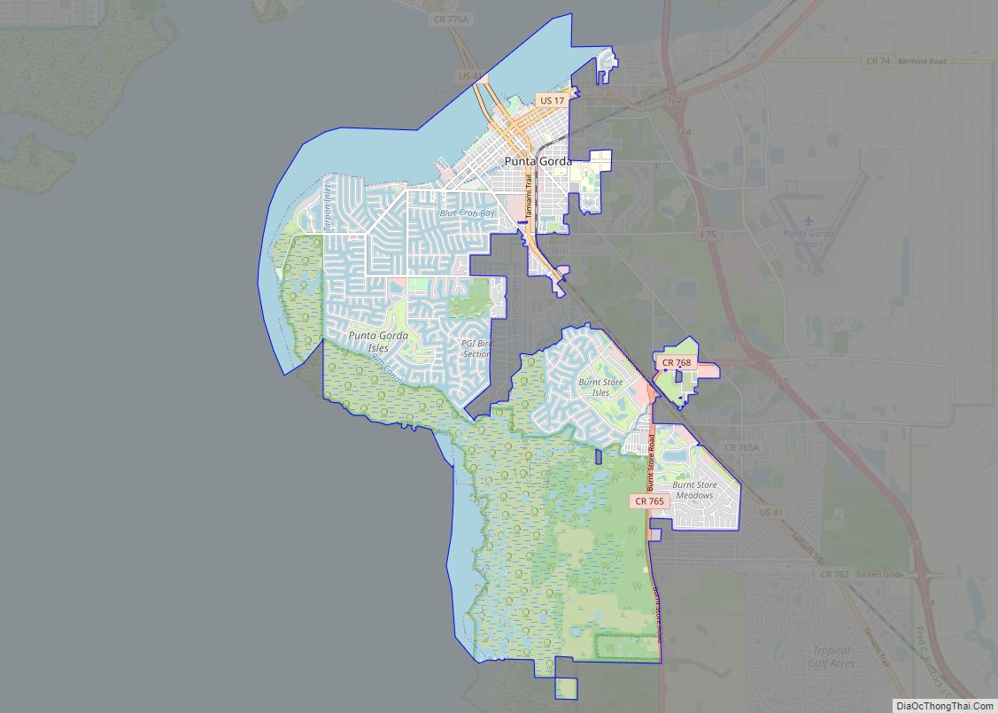
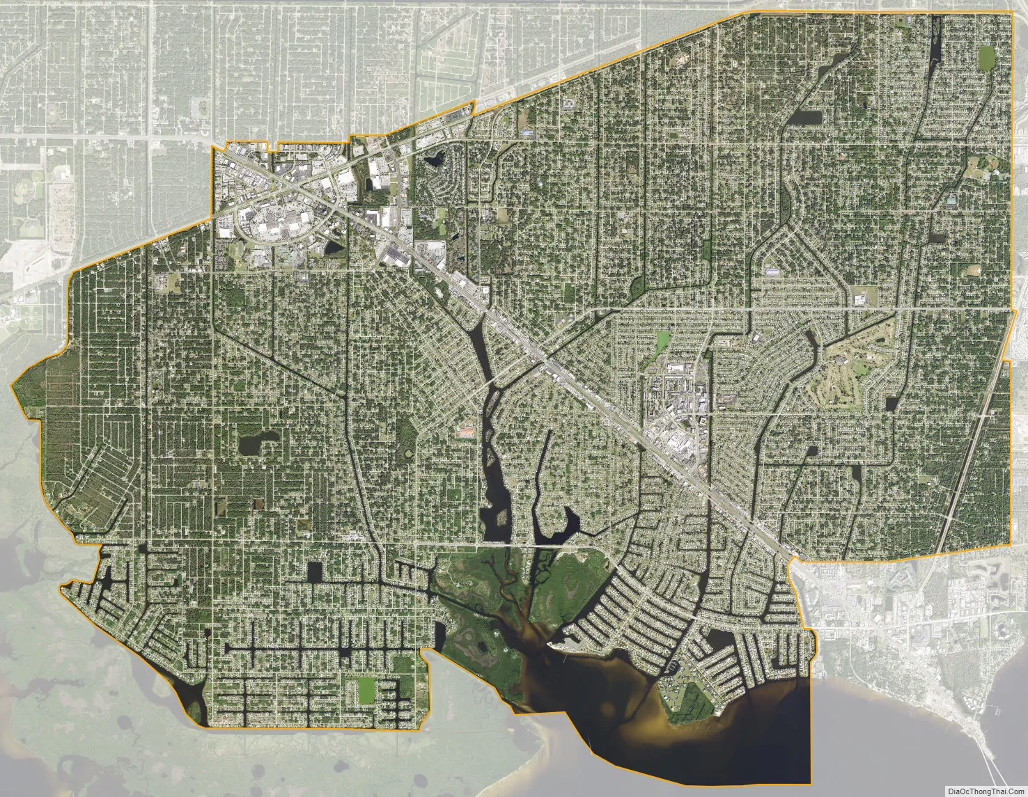
Port Charlotte city Satellite Map
Geography
Port Charlotte is located at the north end of the Charlotte Harbor Estuary, northwest of the city of Punta Gorda. It is 100 miles (160 km) south of Tampa and 65 miles (105 km) north of Naples. According to the United States Census Bureau, the CDP has a total area of 32.3 square miles (83.7 km), of which 28.4 square miles (73.6 km) is land and 3.9 square miles (10.1 km) (12.01%), is water.
Port Charlotte has a warm humid subtropical climate (Köppen climate classification: Cfa) bordering on a tropical wet and dry climate (Köppen climate classification: Aw). The summers are long, hot and humid with frequent afternoon thunderstorms. The winters are mild to warm with a pronounced drop in precipitation. Year round, the diurnal temperature change averages around 20 degrees Fahrenheit (11 degrees Celsius).
Murdock
The area of northwestern Port Charlotte where State Road 776 intersects US 41 is also known as Murdock.
See also
Map of Florida State and its subdivision:- Alachua
- Baker
- Bay
- Bradford
- Brevard
- Broward
- Calhoun
- Charlotte
- Citrus
- Clay
- Collier
- Columbia
- Desoto
- Dixie
- Duval
- Escambia
- Flagler
- Franklin
- Gadsden
- Gilchrist
- Glades
- Gulf
- Hamilton
- Hardee
- Hendry
- Hernando
- Highlands
- Hillsborough
- Holmes
- Indian River
- Jackson
- Jefferson
- Lafayette
- Lake
- Lee
- Leon
- Levy
- Liberty
- Madison
- Manatee
- Marion
- Martin
- Miami-Dade
- Monroe
- Nassau
- Okaloosa
- Okeechobee
- Orange
- Osceola
- Palm Beach
- Pasco
- Pinellas
- Polk
- Putnam
- Saint Johns
- Saint Lucie
- Santa Rosa
- Sarasota
- Seminole
- Sumter
- Suwannee
- Taylor
- Union
- Volusia
- Wakulla
- Walton
- Washington
- Alabama
- Alaska
- Arizona
- Arkansas
- California
- Colorado
- Connecticut
- Delaware
- District of Columbia
- Florida
- Georgia
- Hawaii
- Idaho
- Illinois
- Indiana
- Iowa
- Kansas
- Kentucky
- Louisiana
- Maine
- Maryland
- Massachusetts
- Michigan
- Minnesota
- Mississippi
- Missouri
- Montana
- Nebraska
- Nevada
- New Hampshire
- New Jersey
- New Mexico
- New York
- North Carolina
- North Dakota
- Ohio
- Oklahoma
- Oregon
- Pennsylvania
- Rhode Island
- South Carolina
- South Dakota
- Tennessee
- Texas
- Utah
- Vermont
- Virginia
- Washington
- West Virginia
- Wisconsin
- Wyoming