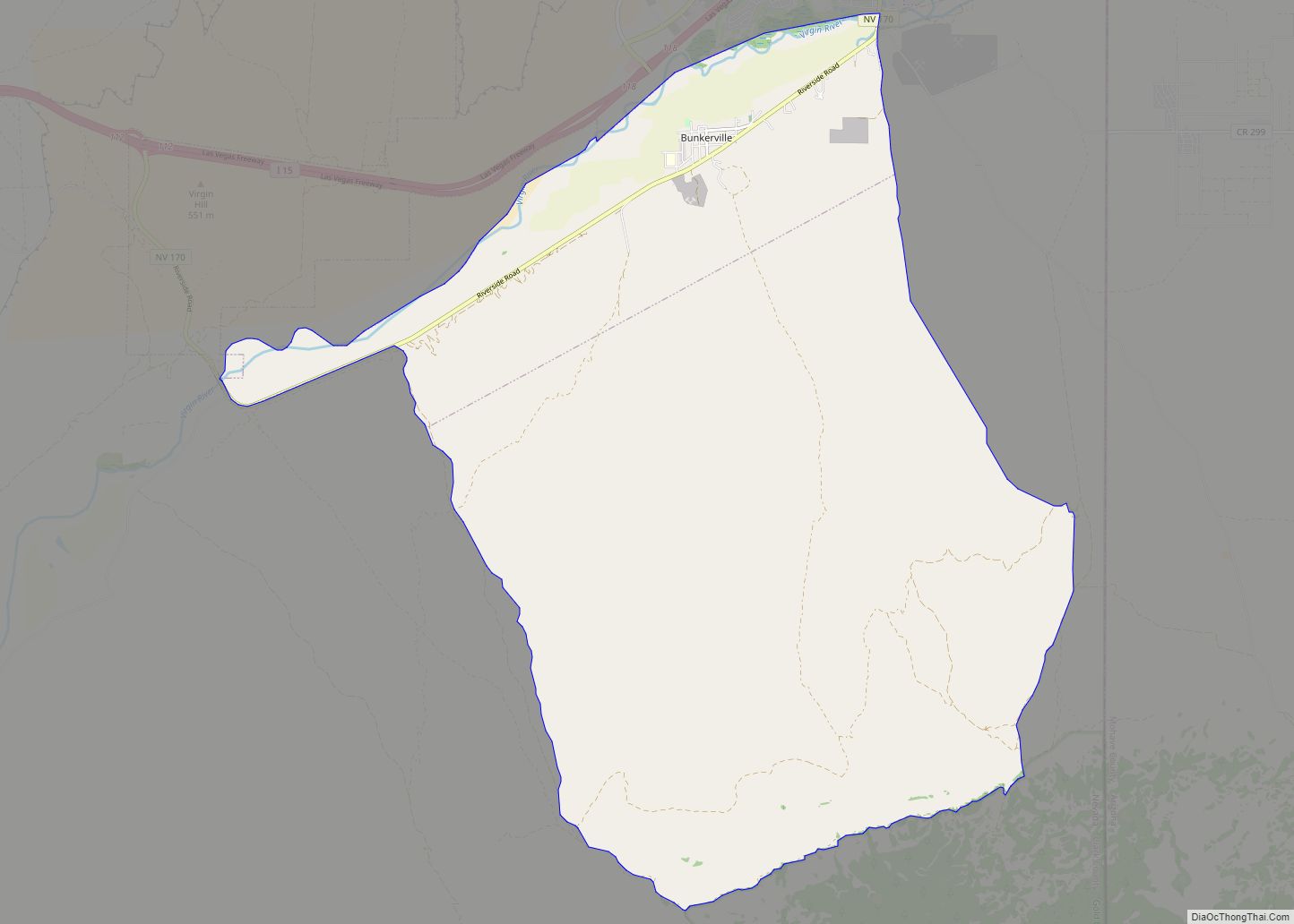
Bunkerville is a census-designated place in Clark County, Nevada, United States. The population was 1,303 at the 2010 census.
| Name: | Bunkerville CDP |
|---|---|
| LSAD Code: | 57 |
| LSAD Description: | CDP (suffix) |
| State: | Nevada |
| County: | Clark County |
| Elevation: | 1,532 ft (467 m) |
| Total Area: | 10.91 sq mi (28.25 km²) |
| Land Area: | 10.33 sq mi (26.75 km²) |
| Water Area: | 0.58 sq mi (1.50 km²) |
| Total Population: | 1,069 |
| Population Density: | 103.51/sq mi (39.96/km²) |
| ZIP code: | 89007 |
| Area code: | 702 and 725 |
| FIPS code: | 3208100 |
| GNISfeature ID: | 0845390 |
Online Interactive Map
Click on ![]() to view map in "full screen" mode.
to view map in "full screen" mode.
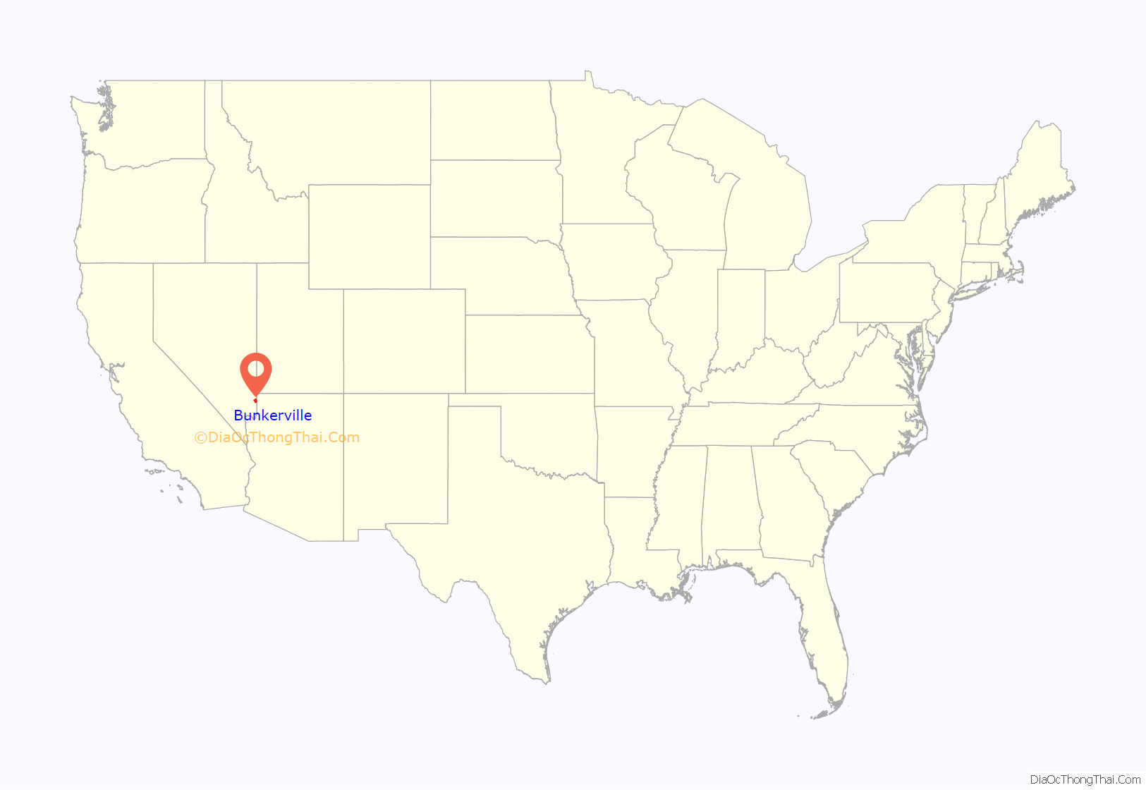
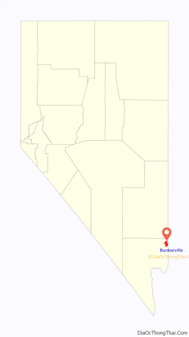
Bunkerville location map. Where is Bunkerville CDP?
History
Bunkerville was settled in 1877 by Mormon pioneers from Utah. It is named after Edward Bunker, who was already a seasoned pioneer settler before he came to Bunkerville, having pioneered the settlement at Santa Clara, Utah.
Bunker, on his own initiative but with permission from Brigham Young, moved his large polygamous family 25 miles (40 km) southwest to Bunkerville after the settlers in Santa Clara had failed to live the communitarian United Order. The residents of Bunkerville, so named by Brigham Young, established a new communal effort, sharing the work and the fruits of their work, with all land being held in common. The communal experiment ended in 1880.
According to the Federal Writers’ Project, Bunkerville had 287 inhabitants in 1941.
In the 1950s, Bunkerville was downwind of nuclear test sites, which caused a spike in childhood leukemia and other cancers in the region. Residents recall playing in nuclear fallout as if it were snow, and report a lasting mistrust of the government.
In the spring of 2014, Bunkerville was the scene of the Bundy standoff, an armed confrontation between protesters and law enforcement over the non-payment of the grazing fees by Cliven Bundy, a local rancher.
Bunkerville Road Map
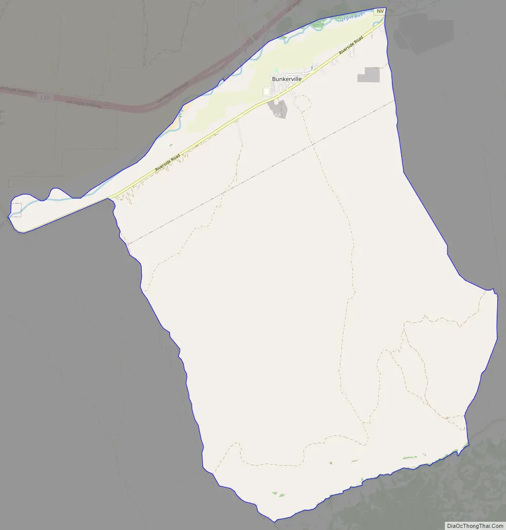
Bunkerville city Satellite Map

Geography
According to the United States Census Bureau, the census-designated place of Bunkerville (which may not coincide exactly with the town boundaries) has a total area of 43.3 square miles (112.1 km), of which 42.8 square miles (110.8 km) is land and 0.50 square miles (1.3 km), or 1.12%, is water.
Climate
Bunkerville has a hot desert climate (Köppen: BWh), with cool winters and very hot summers.
See also
Map of Nevada State and its subdivision: Map of other states:- Alabama
- Alaska
- Arizona
- Arkansas
- California
- Colorado
- Connecticut
- Delaware
- District of Columbia
- Florida
- Georgia
- Hawaii
- Idaho
- Illinois
- Indiana
- Iowa
- Kansas
- Kentucky
- Louisiana
- Maine
- Maryland
- Massachusetts
- Michigan
- Minnesota
- Mississippi
- Missouri
- Montana
- Nebraska
- Nevada
- New Hampshire
- New Jersey
- New Mexico
- New York
- North Carolina
- North Dakota
- Ohio
- Oklahoma
- Oregon
- Pennsylvania
- Rhode Island
- South Carolina
- South Dakota
- Tennessee
- Texas
- Utah
- Vermont
- Virginia
- Washington
- West Virginia
- Wisconsin
- Wyoming