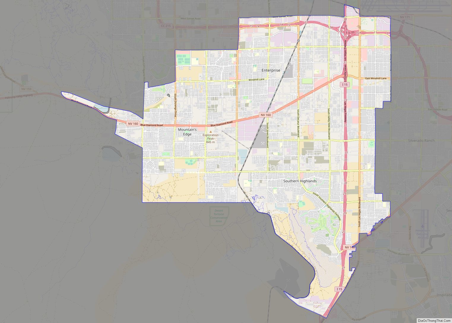
Enterprise is an unincorporated town in the Las Vegas Valley in Clark County, Nevada, United States. The population was 221,831 at the 2020 U.S. Census, up from 14,676 at the 2000 census. It was founded on December 17, 1996. Like other unincorporated towns in the Las Vegas Valley, it uses Las Vegas ZIP codes for addresses within its boundaries.
| Name: | Enterprise CDP |
|---|---|
| LSAD Code: | 57 |
| LSAD Description: | CDP (suffix) |
| State: | Nevada |
| County: | Clark County |
| Founded: | December 17, 1996; 26 years ago (1996-12-17) |
| Elevation: | 2,552 ft (778 m) |
| Total Area: | 66.00 sq mi (170.94 km²) |
| Land Area: | 66.00 sq mi (170.94 km²) |
| Water Area: | 0.00 sq mi (0.00 km²) |
| Population Density: | 3,361.13/sq mi (1,297.73/km²) |
| Area code: | 702 and 725 |
| FIPS code: | 3223770 |
| GNISfeature ID: | 1867345 |
Online Interactive Map
Click on ![]() to view map in "full screen" mode.
to view map in "full screen" mode.
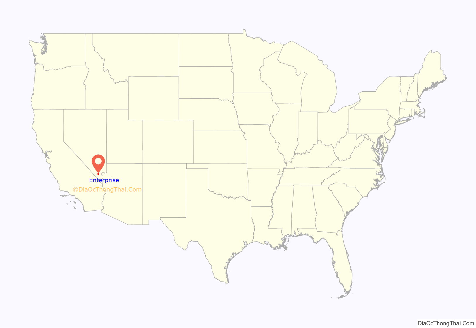
Enterprise location map. Where is Enterprise CDP?

History
The first inhabitants were the Paiute Indians, who were spread across the Las Vegas Valley. In 1905, the railroad town of Arden was formed for miners who worked at the nearby gypsum mines just west of the area. The area was part of Lincoln County until 1909, when Clark County was split off from Lincoln County. The oldest structure in the area is a water tower, which was built in 1926.
References to the area as “Enterprise” date back to at least 1918, when county commissioners established an Enterprise school district. According to one historian, the word may simply have been chosen at that time as a positive-sounding name.
On April 21, 1958, United Airlines Flight 736 and an Air Force jet collided into each other, causing 49 fatalities. The airliner crash site in 1958 was empty desert scrubland, but today commercial development near the intersection of South Decatur Boulevard and West Cactus Avenue, adjacent to the community of Southern Highlands, has encroached on the site. In 1999 a small metal cross was put up by the son of a victim as a memorial to the lives lost.
Enterprise was formed as an unincorporated town on December 17, 1996, in response to a petition from residents who hoped it would help preserve the community’s semi-rural identity. This was made to prevent annexation by nearby Henderson. Immediately afterwards, Clark County commissioners voted to annex about five square miles of land into neighboring Spring Valley that included the master-planned community of Rhodes Ranch and a regional park. The annexation plan was developed by commissioner Erin Kenny. The vote was almost unanimous, with the sole exception of Bruce L. Woodbury voting against annexation. The chairwoman of the county commission, Yvonne Atkinson Gates, was against the annexation, but voted for annexation anyway because she wanted to recall the situation after the next advisory board meeting in January 1997. Residents, both governmental and non-governmental, opposed the annexation because they had no say in the vote.
On January 19, 1999, an interlocal agreement was approved by the Clark County Commission and the Henderson City Council to annex about 5,000 to 6,000 acres of land into the City of Henderson, with most of the land belonging to the Bureau of Land Management southwest of the master-planned community of Anthem, but also including 1,400 acres that were part of Enterprise. The city wanted to annex land so it could have an exit on Interstate 15 (specifically the Sloan exit ), and so they could maintain Lake Mead Drive (now St. Rose Parkway). Residents of Enterprise did not approve of the annexation plan because they wanted to preserve their rural lifestyle. County commissioners told some residents that the county could not stop Henderson from annexing a piece of their town, and said that the interlocal agreement was the best they could do. This agreement stopped Henderson from annexing section 33 (which was a heavily populated section of Enterprise), and instead annex sections 26 and 34, which were, at the time, undeveloped.
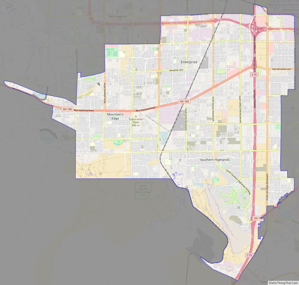
Enterprise Road Map
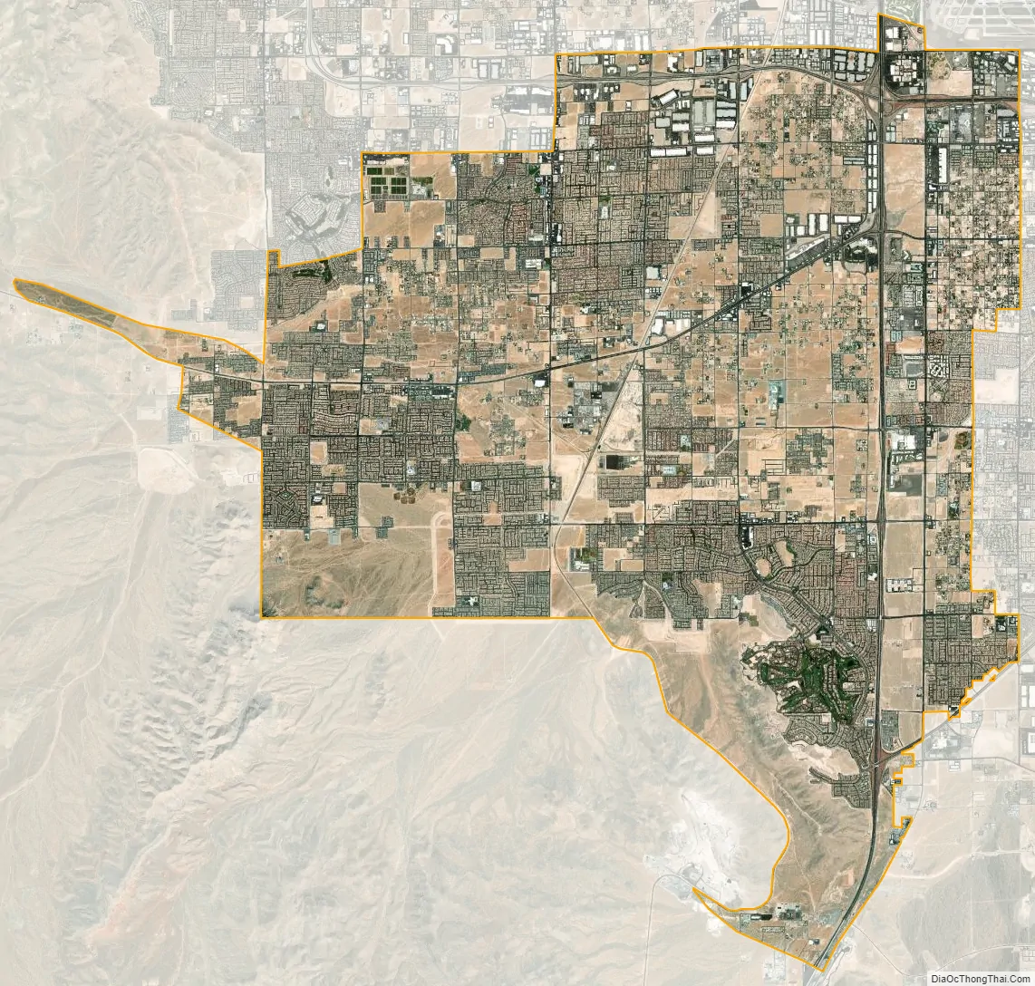
Enterprise city Satellite Map
Geography
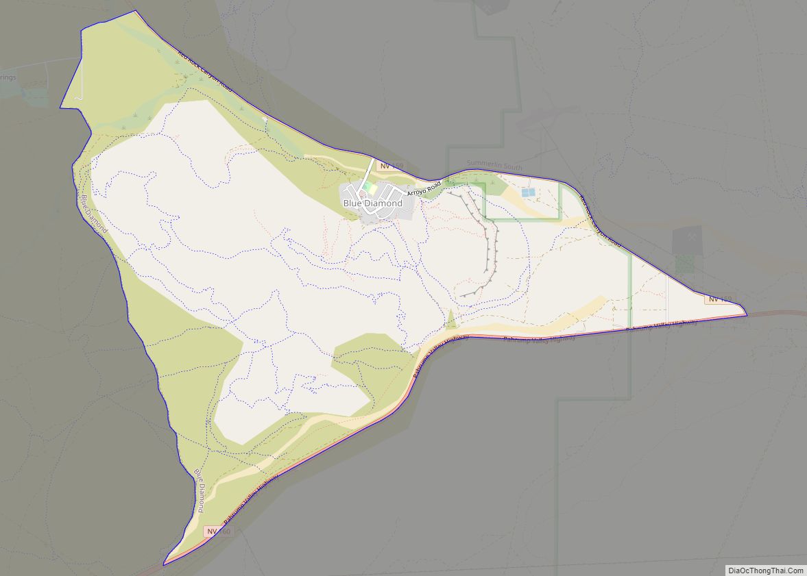
According to the United States Census Bureau, the census-designated place (CDP) of Enterprise (which may not coincide exactly with the town boundaries) has a total area of 46.51 square miles (120.5 km). Enterprise is the location of the Mountain’s Edge planned community and Southern Highlands. Enterprise is bordered by Spring Valley to the north, Paradise to the east, Henderson to the southeast, Sloan to the south, and Blue Diamond to the west. Enterprise’s main northern boundary is with Sunset Road, mainly Bermuda Road to the east, St. Rose Parkway to the southeast, and mainly the Union Pacific Railroad tracks to the southwest.
See also
Map of Nevada State and its subdivision: Map of other states:- Alabama
- Alaska
- Arizona
- Arkansas
- California
- Colorado
- Connecticut
- Delaware
- District of Columbia
- Florida
- Georgia
- Hawaii
- Idaho
- Illinois
- Indiana
- Iowa
- Kansas
- Kentucky
- Louisiana
- Maine
- Maryland
- Massachusetts
- Michigan
- Minnesota
- Mississippi
- Missouri
- Montana
- Nebraska
- Nevada
- New Hampshire
- New Jersey
- New Mexico
- New York
- North Carolina
- North Dakota
- Ohio
- Oklahoma
- Oregon
- Pennsylvania
- Rhode Island
- South Carolina
- South Dakota
- Tennessee
- Texas
- Utah
- Vermont
- Virginia
- Washington
- West Virginia
- Wisconsin
- Wyoming