Clay County is a county located in the U.S. state of Indiana. As of 2010, the population was 26,890. The county seat is Brazil.
Clay County is included in the Terre Haute, Indiana, Metropolitan Statistical Area.
| Name: | Clay County |
|---|---|
| FIPS code: | 18-021 |
| State: | Indiana |
| Founded: | February 12, 1825 |
| Named for: | Henry Clay |
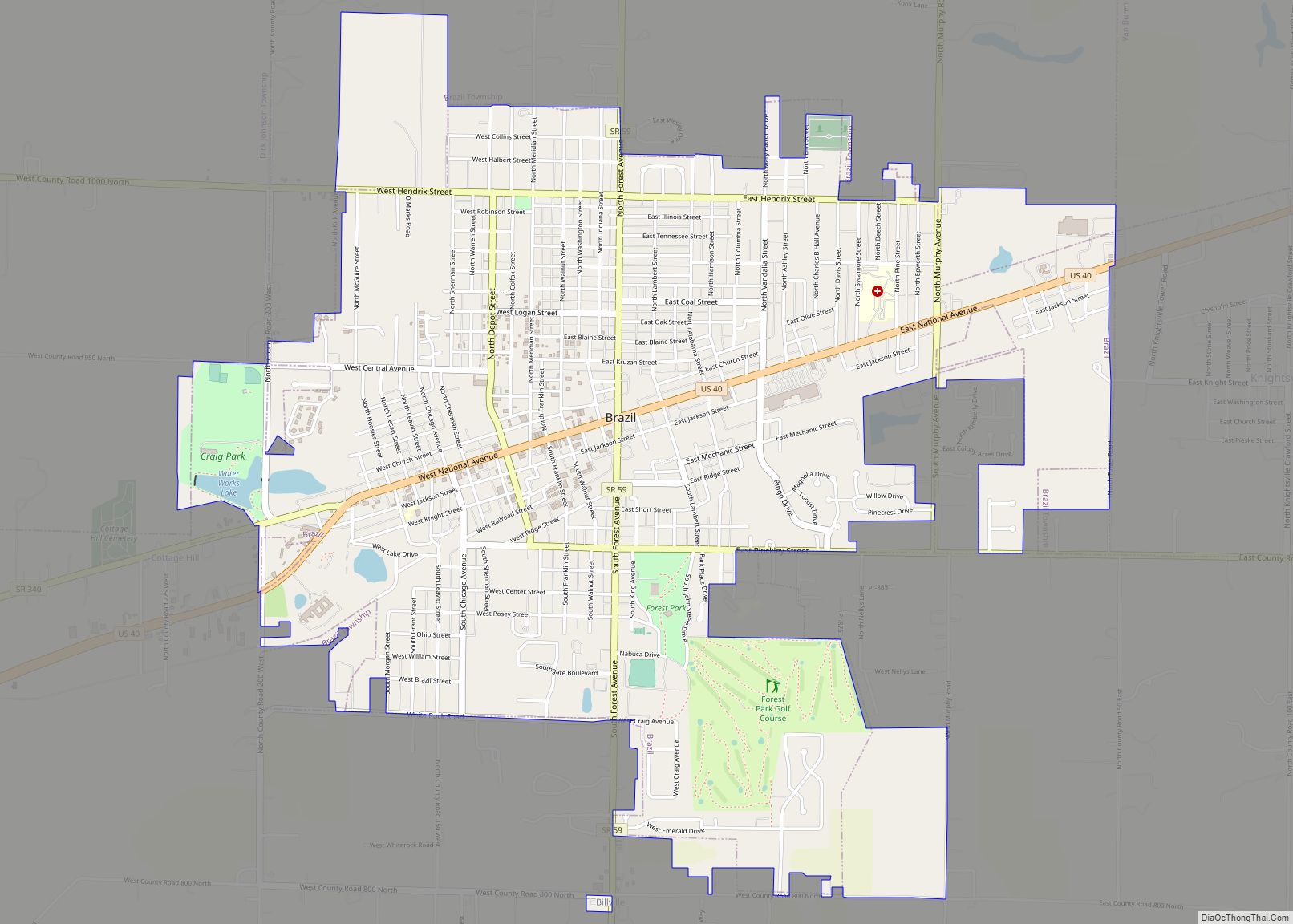
| Seat: | Brazil |
| Largest city: | Brazil |
| Total Area: | 360.32 sq mi (933.2 km²) |
| Land Area: | 357.54 sq mi (926.0 km²) |
| Population Density: | 75/sq mi (29.03/km²) |
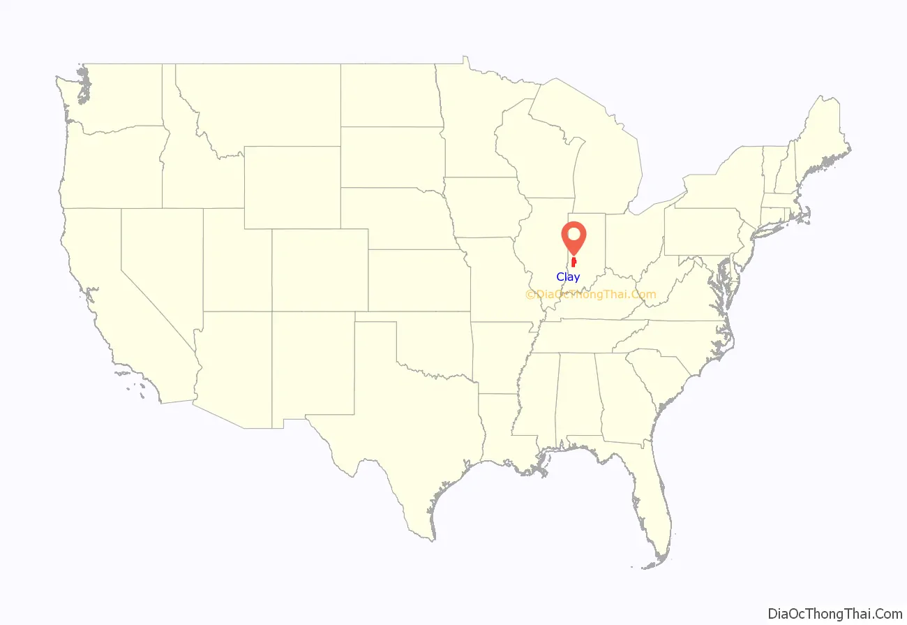
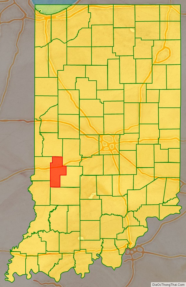
Clay County location map. Where is Clay County?
History
The Indiana Legislature mandated Clay County in 1825, with territory partitioned from Owen, Putnam, Sullivan, and Vigo counties. Its name honors Henry Clay, a famous antebellum American statesman.
The first Courthouse was built in the newly platted town of Bowling Green in 1828. It was a two-story structure of hand-hewn logs.
By the late 1830s Clay County had grown to the extent that the first Courthouse could no longer provide adequate facilities. Therefore, a second Courthouse was constructed near the first Courthouse. This two-story brick structure served until destroyed by fire on November 30, 1851.
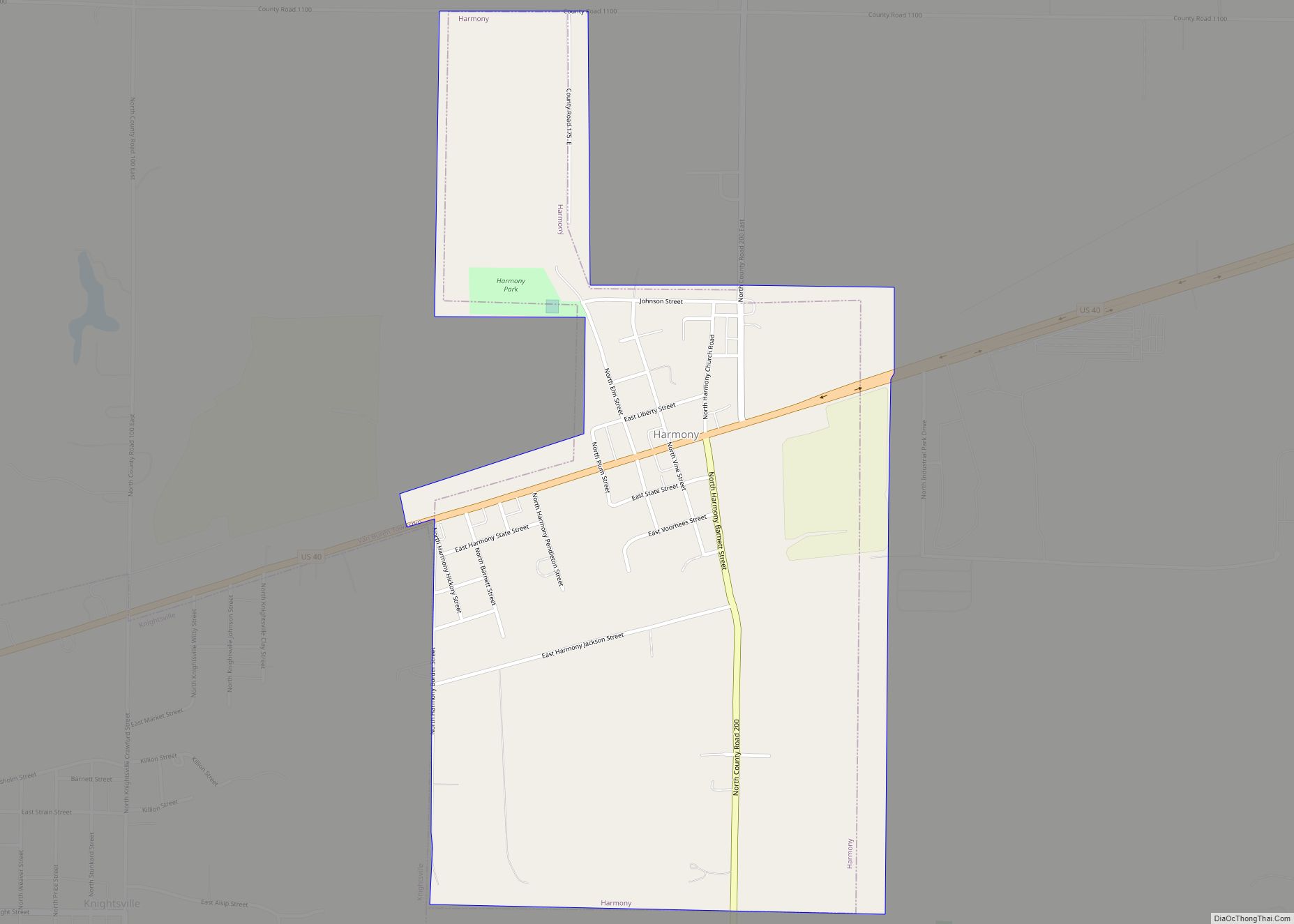
By the 1860s the towns of Harmony, Knightsville, and Brazil were growing rapidly, due in part to their location along the National Road, and also because of the many coal companies in that area. An effort to move the county seat of government to a more central location, which had begun in the 1850s, grew stronger creating controversy among citizens. In the 1860s citizens in the northern section of Clay County became more organized in their efforts. In 1871 brothers Robert and John Stewart donated land along the National Road in Brazil for a new courthouse. $5,300 was also raised by citizens in the area to entice the commissioners to move the seat of government from Bowling Green to Brazil. This amount was reportedly the value of the existing courthouse and grounds, thus defusing opponents’ argument that abandoning the present courthouse would be a waste of taxpayers money. The relocation efforts, which began in 1871, were challenged in the Supreme Court. The relocation was finally granted in 1876.
In 1912 John W. Gaddis, a prominent architect in Vincennes, Indiana, entered into a contract with the County Commissioners to design, plan, and oversee the construction of a new courthouse. The construction bid of W.H. Bailey and Charles A. Koemer of Louisville, Kentucky was accepted in 1912 with the cornerstone being laid in the fall of 1912. Gaddis had completed several others: in Fairfield and Robinson, Illinois: Perryville, Missouri and two in Indiana, the Putnam County Courthouse in Greencastle (1905) and the Huntington County Courthouse (1906) in Huntington, which are also in Classical Revival mode.
The Clay County Courthouse, built in 1913–1914, is one of the most historically and architecturally significant buildings in Brazil and Clay County, Indiana. Built in Classical Revival style of architecture, it is the only building in Clay County holding county government offices and records. It is also located alongside the famed National Road (Cumberland Trail). The present building is the fifth Clay County Courthouse.
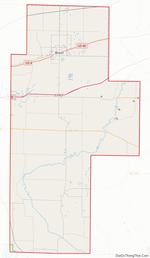
Clay County Road Map
Geography
According to the 2010 census, the county has a total area of 360.32 square miles (933.2 km), of which 357.54 square miles (926.0 km) (or 99.23%) is land and 2.78 square miles (7.2 km) (or 0.77%) is water.
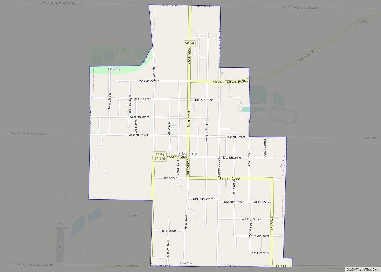
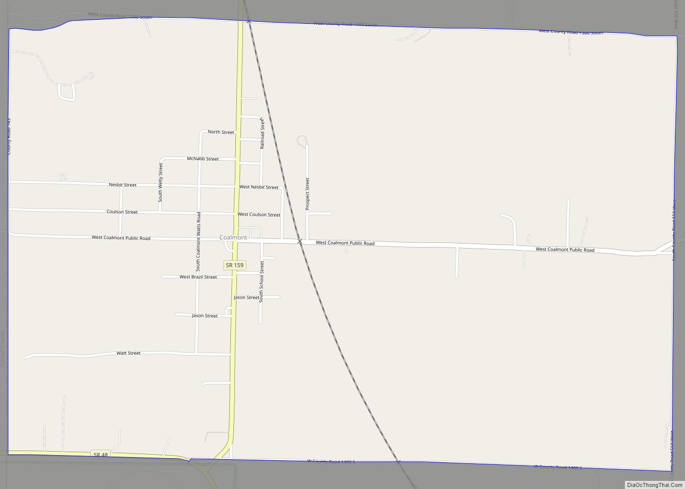
Communities
- Art
- Ashboro
- Asherville
- Barrick Corner
- Bee Ridge
- Benwood
- Billtown
- Billville
- Bogle Corner
- Bowling Green
- Brunswick
- Buchanan Corner
- Calcutta
- Cardonia
- Cherryvale
- Cloverland
- Cory
- Cottage Hill
- Donaldsonville (now part of Brazil)
- Eel River
- Hickory Island
- Hirt Corner (partial)
- Hoffman Crossing
- Hoosierville
- Howesville
- Lap Corner
- Lena (partial – known as Marysville)
- Mechanicsburg
- New Brunswick
- Old Hill
- Perth
- Poland
- Pontiac
- Prairie City
- Purdy Hill
- Roadman Corner
- Saline City
- Shady Lane
- Six Points
- Stearleyville
- Turner
- Twin Beach
- Wickville
- Brazil
- Cass
- Dick Johnson
- Harrison
- Jackson
- Lewis
- Perry
- Posey
- Sugar Ridge
- Van Buren
- Washington
Adjacent counties
- Parke County – north
- Putnam County – northeast
- Owen County – southeast
- Greene County – south
- Sullivan County – southwest
- Vigo County – west
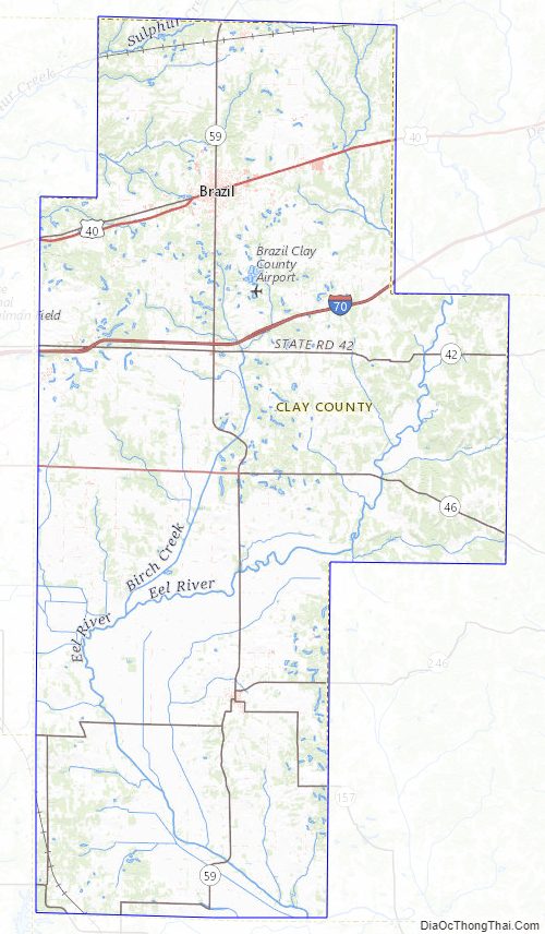
Clay County Topographic Map
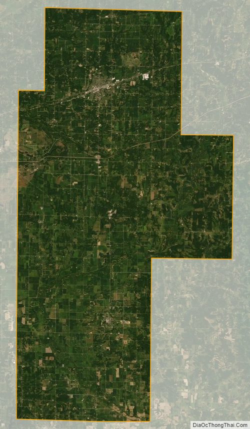
Clay County Satellite Map
Clay County Outline Map