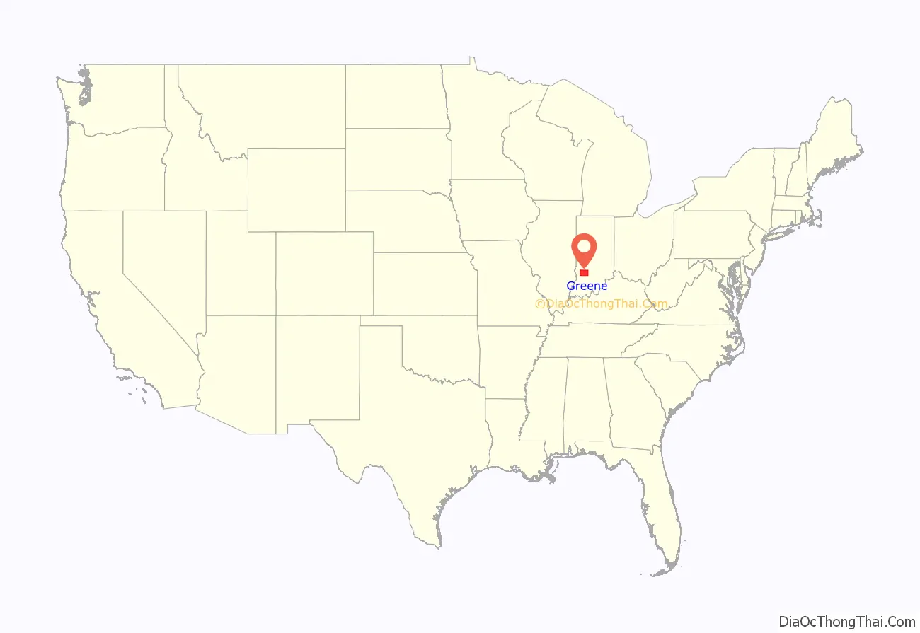
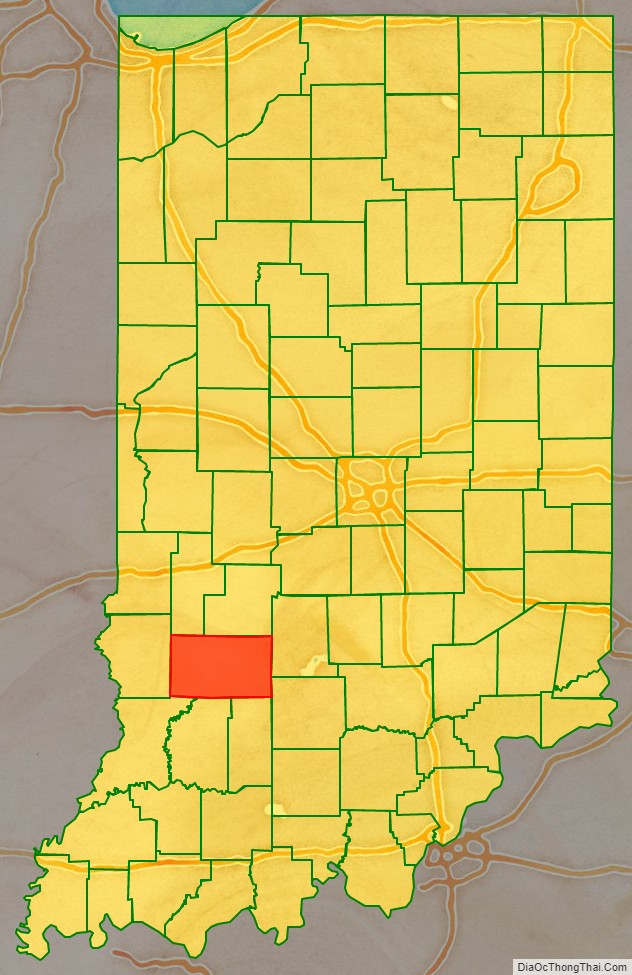
Greene County is a county in the U.S. state of Indiana. As of 2010, the population was 33,165. The county seat is Bloomfield. The county was determined by the US Census Bureau to include the mean center of U.S. population in 1930.
| Name: | Greene County |
|---|---|
| FIPS code: | 18-055 |
| State: | Indiana |
| Founded: | January 5, 1821 |
| Named for: | Nathanael Greene |
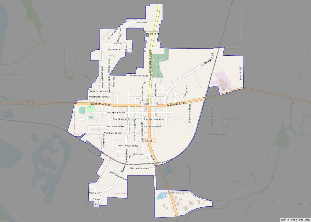
| Seat: | Bloomfield |
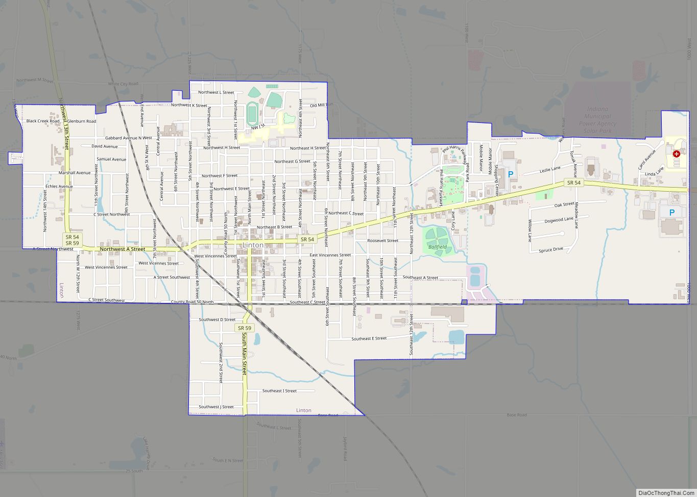
| Largest city: | Linton |
| Total Area: | 545.92 sq mi (1,413.9 km²) |
| Land Area: | 542.50 sq mi (1,405.1 km²) |
| Population Density: | 61/sq mi (23.64/km²) |
Greene County location map. Where is Greene County?
History
Greene County was formed in 1821, from unincorporated territory and from a portion of the previous Sullivan County. It was named for General Nathanael Greene, who commanded the southern theater in the American Revolutionary War, which eventually forced the British army under Charles Cornwallis to retreat to Yorktown. There it was forced to surrender, ensuring American independence.
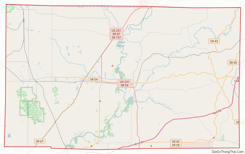
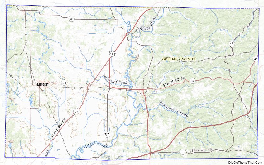
Greene County Road Map
Geography
According to the 2010 census, the county has a total area of 545.92 square miles (1,413.9 km), of which 542.50 square miles (1,405.1 km) (or 99.37%) is land and 3.42 square miles (8.9 km) (or 0.63%) is water.
Adjacent counties
- Clay County – north
- Owen County – north
- Monroe County – east
- Lawrence County – southeast
- Martin County – south
- Daviess County – south
- Knox County – southwest
- Sullivan County – west
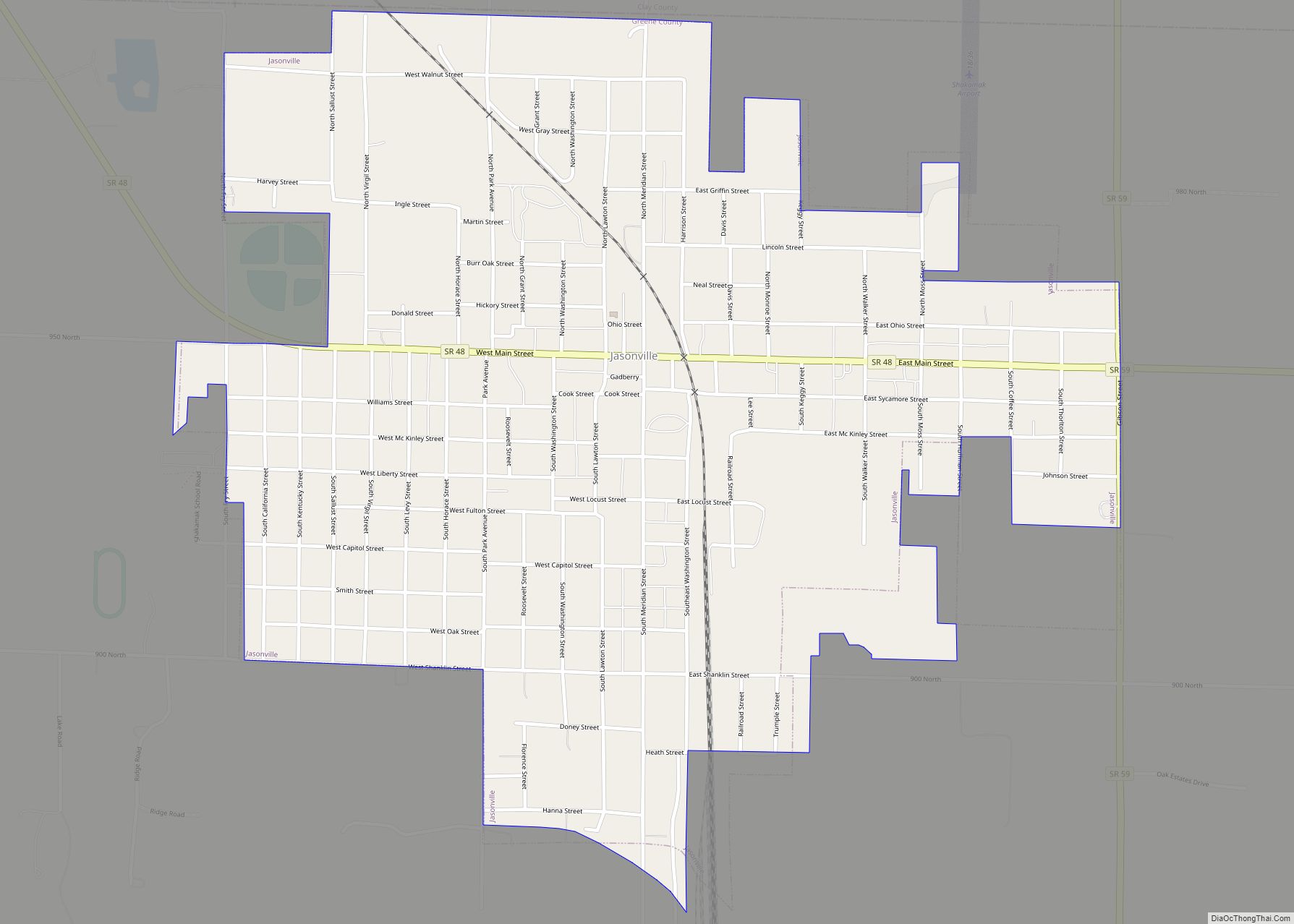
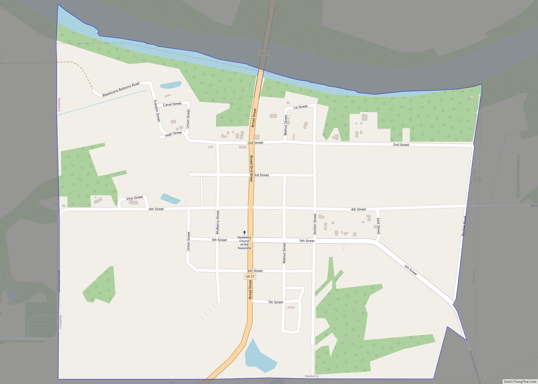
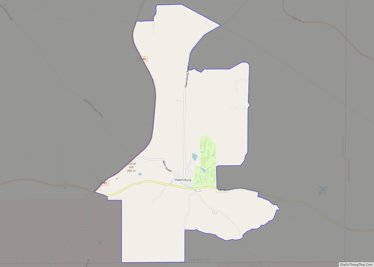
Cities
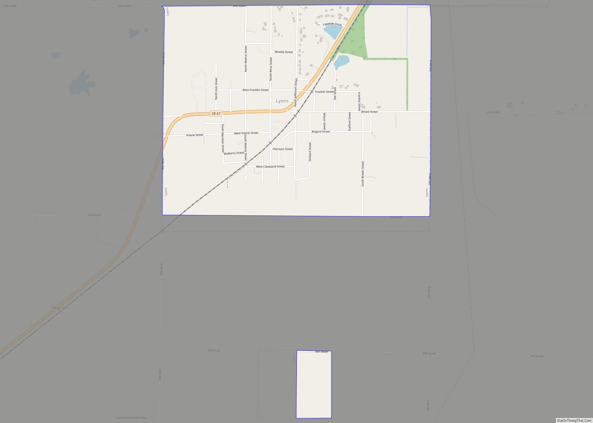
Towns
Census-designated places
Other unincorporated places
- Antioch
- Beehunter
- Bushrod
- Calvertville
- Cincinnati
- Dixon
- Doans
- Dresden
- Elliston
- Furnace
- Gilmour (partial)
- Hashtown
- Hendricksville
- Hobbieville (called Jonesville 1837–1840)
- Hoosier
- Ilene
- Island City
- Johnstown
- Koleen
- Lone Tree
- Marco
- McVille
- Midland
- Midland Junction
- Mineral City (also called Mineral)
- Newark
- Park
- Plummer
- Point Commerce
- Redcuff Corner
- Ridgeport
- Rincon
- Solsberry
- Sponsler
- Stalcup Corner
- Summit
- Tanner
- Tulip
- Vicksburg
- Victoria
- White Rose
Townships
- Beech Creek
- Cass
- Center
- Fairplay
- Grant
- Highland
- Jackson
- Jefferson
- Richland
- Smith
- Stafford
- Stockton
- Taylor
- Washington
- Wright
Major highways
- I-69
- US 231
- SR 43
- SR 45
- SR 48
- SR 54
- SR 57
- SR 58
- SR 59
- SR 67
- SR 157
- SR 445
Greene County Topographic Map
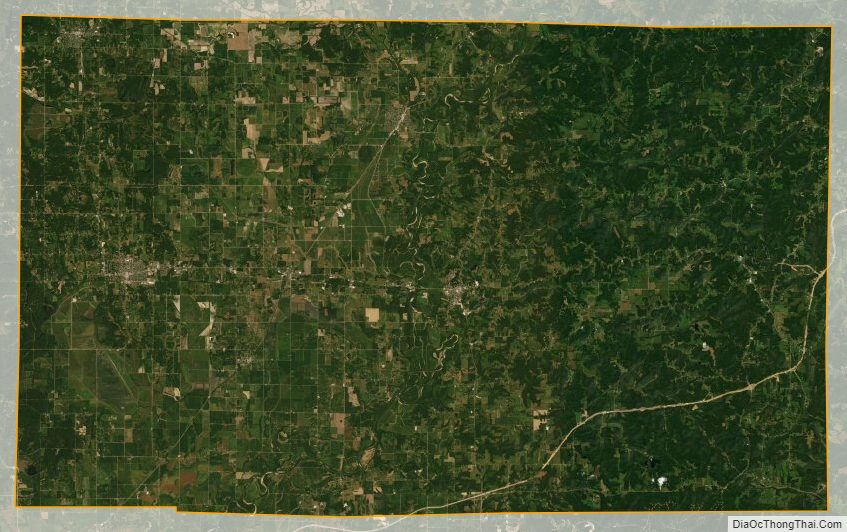
Greene County Satellite Map
Greene County Outline Map