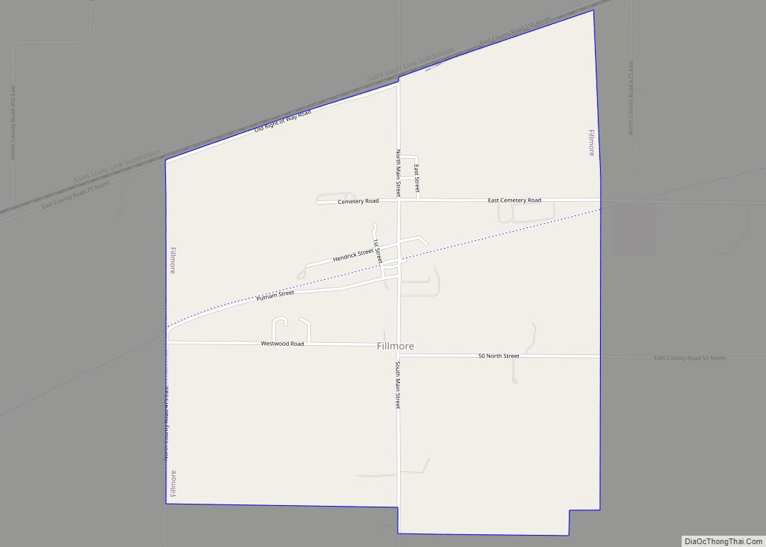
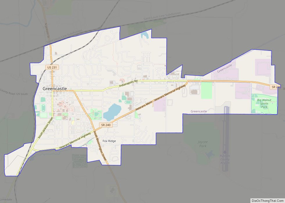
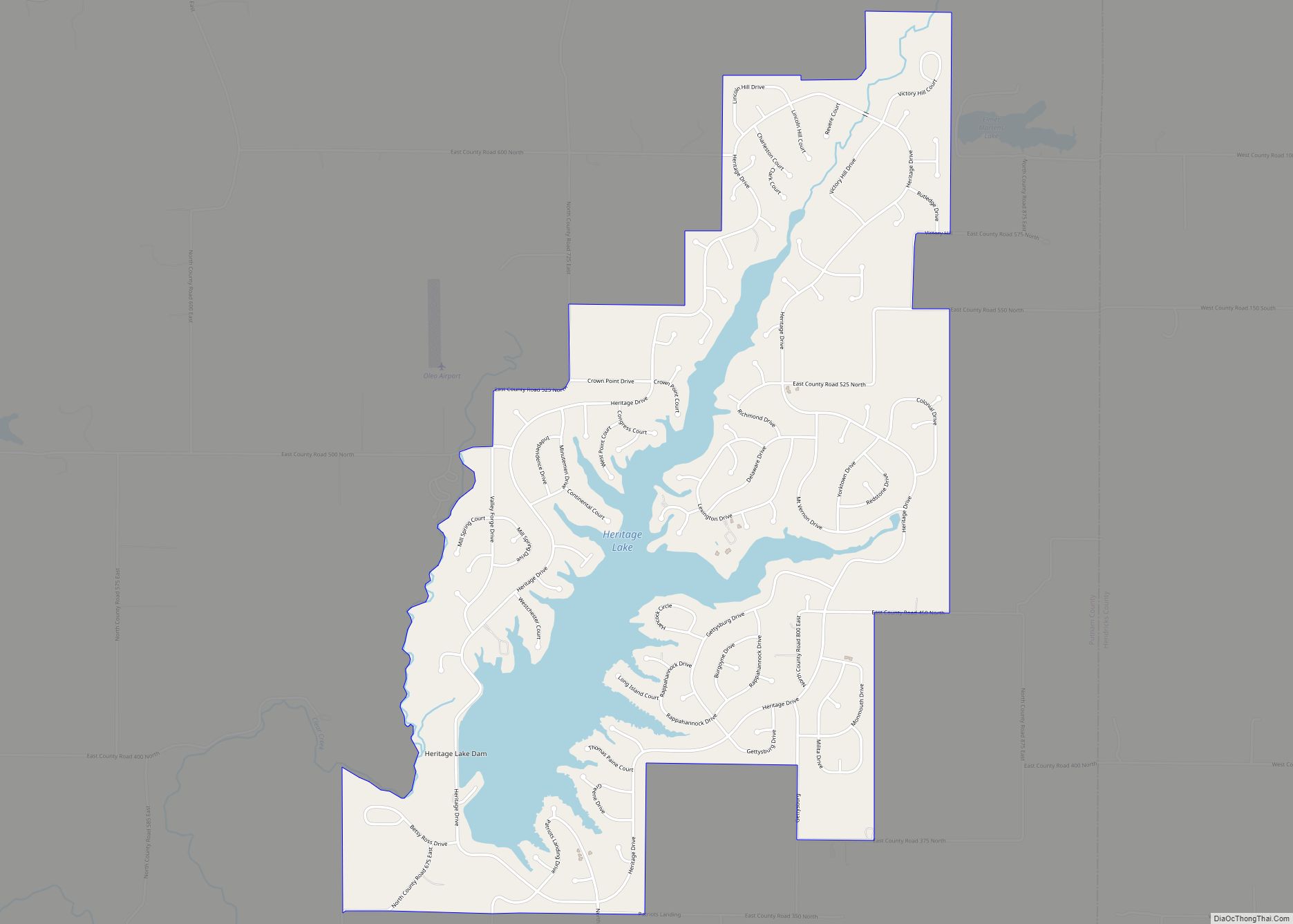
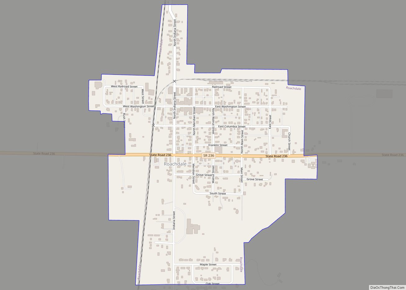
Putnam County is a county located in the U.S. state of Indiana. As of the 2010 United States Census, the population was 37,963. The county seat is Greencastle. The county was named for Israel Putnam, a hero in the French and Indian War and a general in the American Revolutionary War. The county was created in 1821 and organized in April 1822.
Putnam County is included in the Indianapolis-Carmel–Anderson, IN Metropolitan Statistical Area.
| Name: | Putnam County |
|---|---|
| FIPS code: | 18-133 |
| State: | Indiana |
| Founded: | December 31, 1821 (created) April 1822 (organized) |
| Named for: | Israel Putnam |
| Seat: | Greencastle |
| Largest city: | Greencastle |
| Total Area: | 482.69 sq mi (1,250.2 km²) |
| Land Area: | 480.53 sq mi (1,244.6 km²) |
| Population Density: | 78.62/sq mi (30.36/km²) |
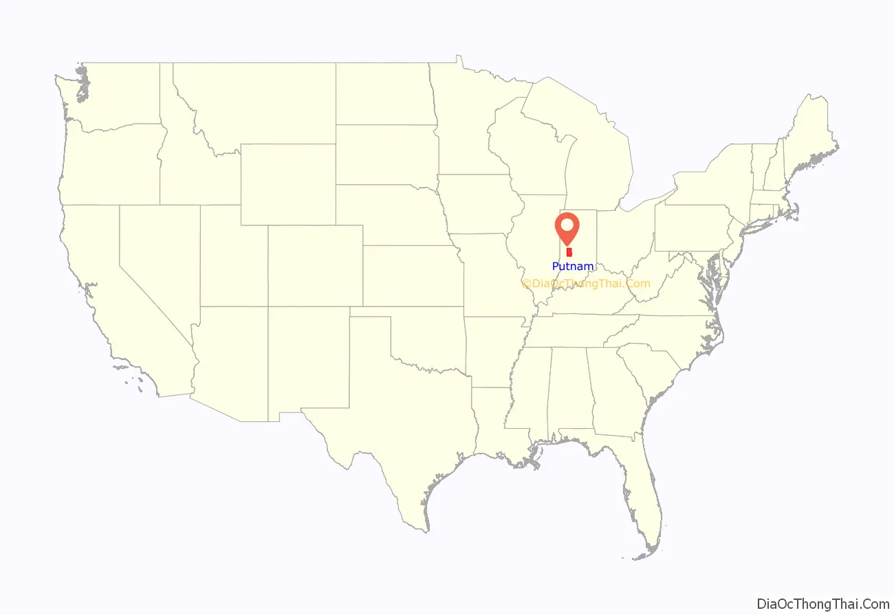
Putnam County location map. Where is Putnam County?
History
After the American Revolutionary War established US sovereignty over the territory of the upper Midwest, the new federal government defined the Northwest Territory in 1787 which included the area of present-day Indiana. In 1800, Congress separated Ohio from the Northwest Territory, designating the rest of the land as the Indiana Territory. President Thomas Jefferson chose William Henry Harrison as the governor of the territory, and Vincennes was established as the future capital. After the Michigan Territory was separated and the Illinois Territory was formed, Indiana was reduced to its current size and geography. In late 1816, the Indiana Territory was admitted to the Union as a state, although much of its territory was still in dispute as to possession by Native Americans. The land containing Putnam County was brought into the possession and control of the United States by the Treaty of St. Mary’s in 1818 (known as the New Purchase).
The first county to be organized (1790) in the Northwest Territory was Knox, covering the western part of the future state, with its territory gradually reduced as pockets of settlement allowed the creation of smaller counties. After the Indiana Territory was admitted to the Union as a state on December 11, 1816, Sullivan (December 30, 1816), Vigo (January 21, 1818), and Daviess (February 2, 1818) counties were created, followed by Owen County on December 21, 1818. By 1821, the northern parts of Owen and Vigo counties were sufficiently settled to allow creation of a new county, which was authorized on December 21, 1821, by an act of the Indiana General Assembly. The act tasked five commissioners to meet in May 1822 at the home of James Athey, a log cabin located at the forks of the Eel River. The act also authorized a circuit court to meet at Athey’s cabin, which was likely the first such log structure in the county (having been built by the fall of 1818 on a small section of the southwest corner of what became Putnam County, located just south of land encompassed by the 1818 Treaty of St. Mary’s). Records show the court met in session at Athey’s cabin in June 1822 and again that September, but the assigned commissioners failed to accomplish their task of selecting a county seat. In January 1823, a second group of commissioners was assigned by the legislature to select the county seat by that April, which they accomplished with the designation of Greencastle, located at the geographic center of the county. An incentive was 70 acres of ground donated for the county seat at Greencastle by Ephraim and Rebecca Dukes, who conveyed the corresponding deed in September 1823.
The county’s boundary was changed on February 12, 1825, when Clay County was created. It has retained its present configuration since that time.
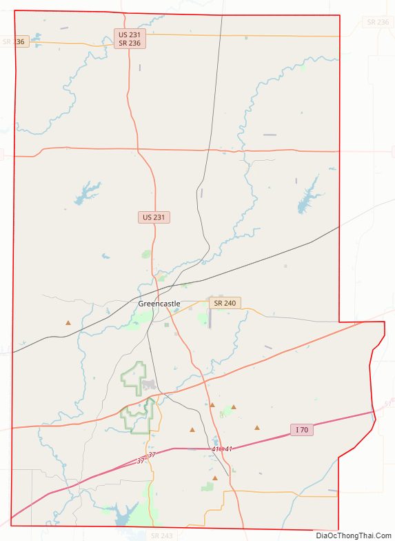
Putnam County Road Map
Geography
The terrain of northern Putnam County is mostly flat; rolling hills become more evident in the center and southwest portions. At the time of settlement, the county was completely tree-covered (poplar, oak, walnut, maple, beech, and hickory), but presently the flat portions have been cleared and used for agriculture; the drainage areas are still wooded. Walnut Creek drains the east central part of the county, flowing south-southwestward into Owen County. Big Walnut Creek drains the upper part of the county, flowing southwestward into Parke County, where it is captured in the Cecil M. Harden Lake. The highest point in the county (980 feet/300 meters ASL) is a gradual rise two miles (3.2 km) SW of Bainbridge.
Limestone deposits were extracted beginning in the nineteenth century, and a large iron-ore vein southwest of Cloverdale was discovered in the 1860s.
According to the 2010 census, the county has a total area of 482.69 square miles (1,250.2 km), of which 480.53 square miles (1,244.6 km) (or 99.55%) is land and 2.16 square miles (5.6 km) (or 0.45%) is water.
Adjacent counties
- Montgomery County – north
- Hendricks County – east
- Morgan County – southeast
- Owen County – south
- Clay County – southwest
- Parke County – west
Lakes
- Cagles Mill Lake (part)
- Glenn Flint Lake
- Heritage Lake
Protected areas
- DePauw University Nature Park
- Fern Cliff Nature Preserve
- Lieber State Recreation Area
Cities
- Greencastle (county seat)
Towns
Census-designated places
Unincorporated places
- Barnard
- Belle Union
- Blakesburg
- Brick Chapel
- Broad Park
- Brunerstown
- Cagle Mill
- Carpentersville
- Cary
- Clinton Falls
- Cradick Corner
- Edgewood Lake
- Fincastle
- Fox Ridge
- Groveland
- Hirt Corner
- Jenkinsville
- Keytsville
- Limedale
- Manhattan
- Morton
- Mount Meridian
- New Maysville
- Pleasant Gardens
- Portland Mills
- Putnamville
- Raab Crossroads
- Raccoon
- Reelsville
- Vivalia
- Westland
Townships
- Clinton
- Cloverdale
- Floyd
- Franklin
- Greencastle
- Jackson
- Jefferson
- Madison
- Marion
- Monroe
- Russell
- Warren
- Washington
Major highways
- Interstate 70
- U.S. Route 36
- U.S. Route 40
- U.S. Route 231
- Indiana State Road 42
- Indiana State Road 75
- Indiana State Road 236
- Indiana State Road 240
- Indiana State Road 243
