Breese is a city in Clinton County, Illinois, United States. Breese is the most populous city completely within Clinton County. As of the 2020 census, the population was 4,641, the majority of whom are of German ancestry. Breese is part of the Metro-East region of the Greater St. Louis metropolitan area.
| Name: | Breese city |
|---|---|
| LSAD Code: | 25 |
| LSAD Description: | city (suffix) |
| State: | Illinois |
| County: | Clinton County |
| Elevation: | 453 ft (138 m) |
| Total Area: | 2.70 sq mi (6.99 km²) |
| Land Area: | 2.67 sq mi (6.92 km²) |
| Water Area: | 0.03 sq mi (0.07 km²) |
| Total Population: | 4,641 |
| Population Density: | 1,736.90/sq mi (670.50/km²) |
| ZIP code: | 62230 |
| Area code: | 618 |
| FIPS code: | 1707913 |
| GNISfeature ID: | 2393409 |
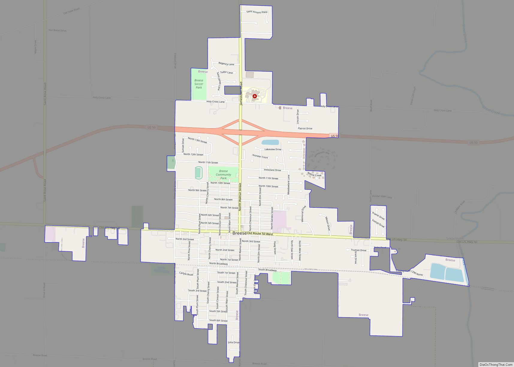
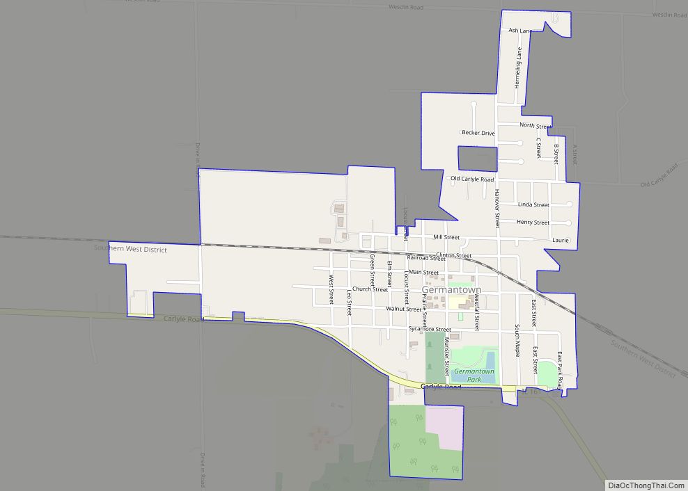
Online Interactive Map
Click on ![]() to view map in "full screen" mode.
to view map in "full screen" mode.
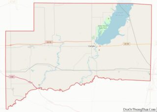
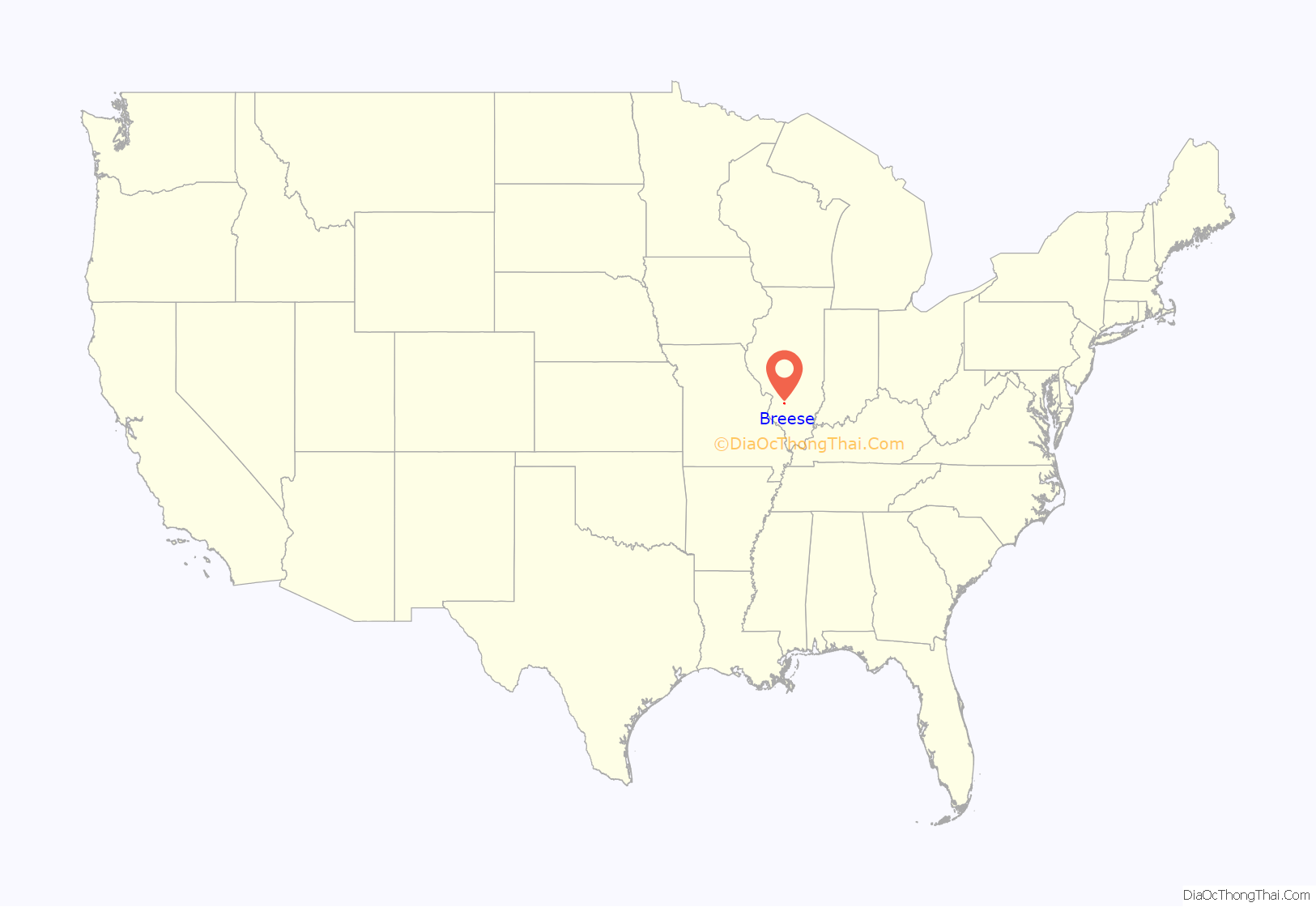
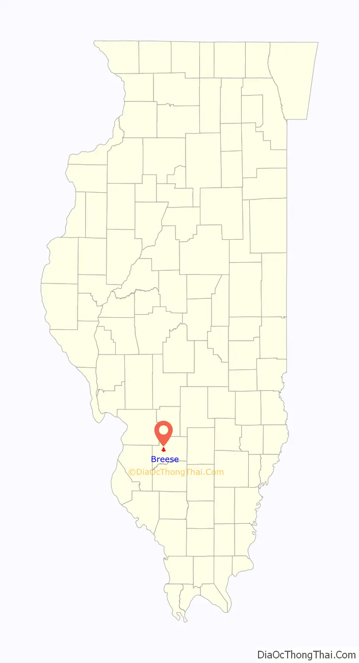
Breese location map. Where is Breese city?
History
The town is named after Sidney Breese, a United States Senator and a contemporary of President Abraham Lincoln. Breese was founded in 1855.
Even though the area around Breese, Illinois was first settled in 1816, it was not until 1835 that Germans came to the town to farm because of the flat fertile land there. Twenty years after the Germans’ first immigration, the Mississippi and Ohio Railroad was completed. The early pioneers were enthralled by the thought of transportation by railroad. The Chicago-based company Sanger Kamp & Co. bought 80 acres of land near the railroad. Twenty-four acres were laid out with the railroad splitting the original town with some acres on the north side and south side creating Breese Township, February 3, 1855.
Late in 1855, forty Catholic immigrants, wanting to fulfill their religious needs, had the idea of constructing a church. Their desires were realized when two years later the Sanger Kamp & Co. gave half of one of its 80 acres (32 ha) to the Catholics’ project. By December 1869, St. Dominic’s Catholic Church was completed. Breese was first recognized as a town on April 11, 1871, and later became a village on September 23, 1876. As a result, the construction of the village hall had begun. This project was completed in 1885. Seven years later a volunteer fire department was organized. The ever-growing population was then acknowledged as a city on January 19, 1905. The mayor of this new city was Henry Hummert.
Realizing that Breese would need some improvements, the mayor authorized the construction of an electric light plant that was completed in 1906. The streets of Breese were also topped with road oil in 1911. The next year improvements to the city’s water works facility were also made.
However, things took a turn for the worse when, in 1914, a scarlet fever swept the community and its surrounding area and forced all the schools to close. Only four years later, still in the wake of the scarlet fever, the flu epidemic spread through the area.
1906 Coal mine disaster
On December 24, 1906, Six miners were killed and one injured when a mine cage collapsed and fell down the shaft in a mine owned and operated by The Breese and Trenton Coal Company. The miners killed included Henry Middeke, Herman Scheleper, Walter Schaffner, August Foppe, Frank Zehrer, and Hermann Holtmann. The only one injured was mine manager William Fritz. An investigation concluded that improper filling of an old air shaft caused a dirt slide leading to the collapse. The Breese and Trenton Coal Company was found guilty of negligence.
Breese Road Map
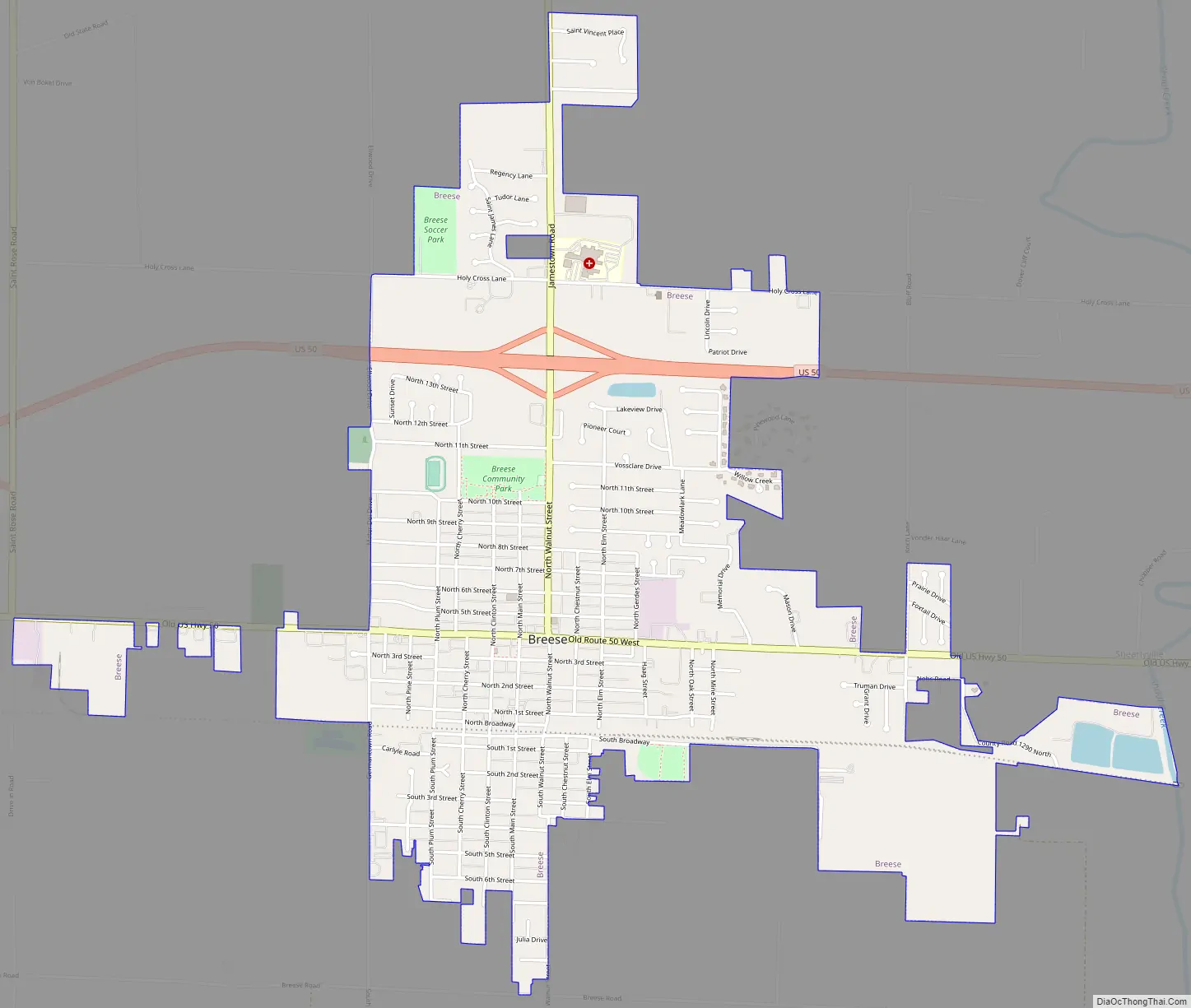
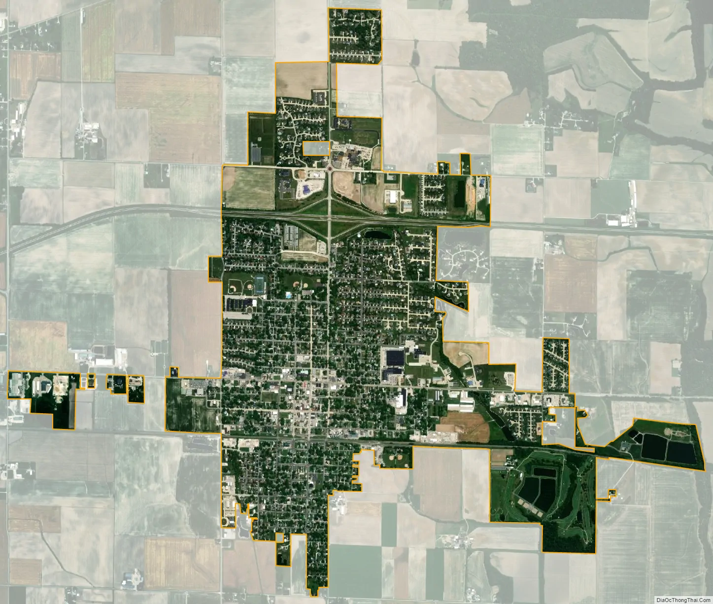
Breese city Satellite Map
Geography
According to the 2021 census gazetteer files, Breese has a total area of 2.69 square miles (6.97 km), of which 2.67 square miles (6.92 km) (or 99.07%) is land and 0.03 square miles (0.08 km) (or 0.93%) is water.
Breese is located on U.S. Route 50, 40 miles (64 km) east of St. Louis, Missouri.
See also
Map of Illinois State and its subdivision:- Adams
- Alexander
- Bond
- Boone
- Brown
- Bureau
- Calhoun
- Carroll
- Cass
- Champaign
- Christian
- Clark
- Clay
- Clinton
- Coles
- Cook
- Crawford
- Cumberland
- De Kalb
- De Witt
- Douglas
- Dupage
- Edgar
- Edwards
- Effingham
- Fayette
- Ford
- Franklin
- Fulton
- Gallatin
- Greene
- Grundy
- Hamilton
- Hancock
- Hardin
- Henderson
- Henry
- Iroquois
- Jackson
- Jasper
- Jefferson
- Jersey
- Jo Daviess
- Johnson
- Kane
- Kankakee
- Kendall
- Knox
- La Salle
- Lake
- Lake Michigan
- Lawrence
- Lee
- Livingston
- Logan
- Macon
- Macoupin
- Madison
- Marion
- Marshall
- Mason
- Massac
- McDonough
- McHenry
- McLean
- Menard
- Mercer
- Monroe
- Montgomery
- Morgan
- Moultrie
- Ogle
- Peoria
- Perry
- Piatt
- Pike
- Pope
- Pulaski
- Putnam
- Randolph
- Richland
- Rock Island
- Saint Clair
- Saline
- Sangamon
- Schuyler
- Scott
- Shelby
- Stark
- Stephenson
- Tazewell
- Union
- Vermilion
- Wabash
- Warren
- Washington
- Wayne
- White
- Whiteside
- Will
- Williamson
- Winnebago
- Woodford
- Alabama
- Alaska
- Arizona
- Arkansas
- California
- Colorado
- Connecticut
- Delaware
- District of Columbia
- Florida
- Georgia
- Hawaii
- Idaho
- Illinois
- Indiana
- Iowa
- Kansas
- Kentucky
- Louisiana
- Maine
- Maryland
- Massachusetts
- Michigan
- Minnesota
- Mississippi
- Missouri
- Montana
- Nebraska
- Nevada
- New Hampshire
- New Jersey
- New Mexico
- New York
- North Carolina
- North Dakota
- Ohio
- Oklahoma
- Oregon
- Pennsylvania
- Rhode Island
- South Carolina
- South Dakota
- Tennessee
- Texas
- Utah
- Vermont
- Virginia
- Washington
- West Virginia
- Wisconsin
- Wyoming