Catawissa is a borough in Columbia County, Pennsylvania, United States. It is part of Northeastern Pennsylvania. The population was 1,539 at the 2020 census. It is part of the Bloomsburg-Berwick micropolitan area.
Catawissa is twinned with Uxbridge, Ontario. The historic link began in 1805, when the Uxbridge area was granted by the British crown to Dr. Christopher Beswick, first medical doctor north of the Oak Ridges Moraine. While not a Quaker, he lived in Catawissa before moving to the Uxbridge area. Beswick Lane in the Ontario town is named after him.
| Name: | Catawissa borough |
|---|---|
| LSAD Code: | 21 |
| LSAD Description: | borough (suffix) |
| State: | Pennsylvania |
| County: | Columbia County |
| Incorporated: | 1892 |
| Elevation: | 520 ft (160 m) |
| Total Area: | 0.54 sq mi (1.39 km²) |
| Land Area: | 0.51 sq mi (1.33 km²) |
| Water Area: | 0.02 sq mi (0.06 km²) |
| Total Population: | 1,536 |
| Population Density: | 2,994.15/sq mi (1,155.26/km²) |
| ZIP code: | 17820 |
| Area code: | 570 |
| FIPS code: | 4211736 |
| Website: | www.catawissa.us |
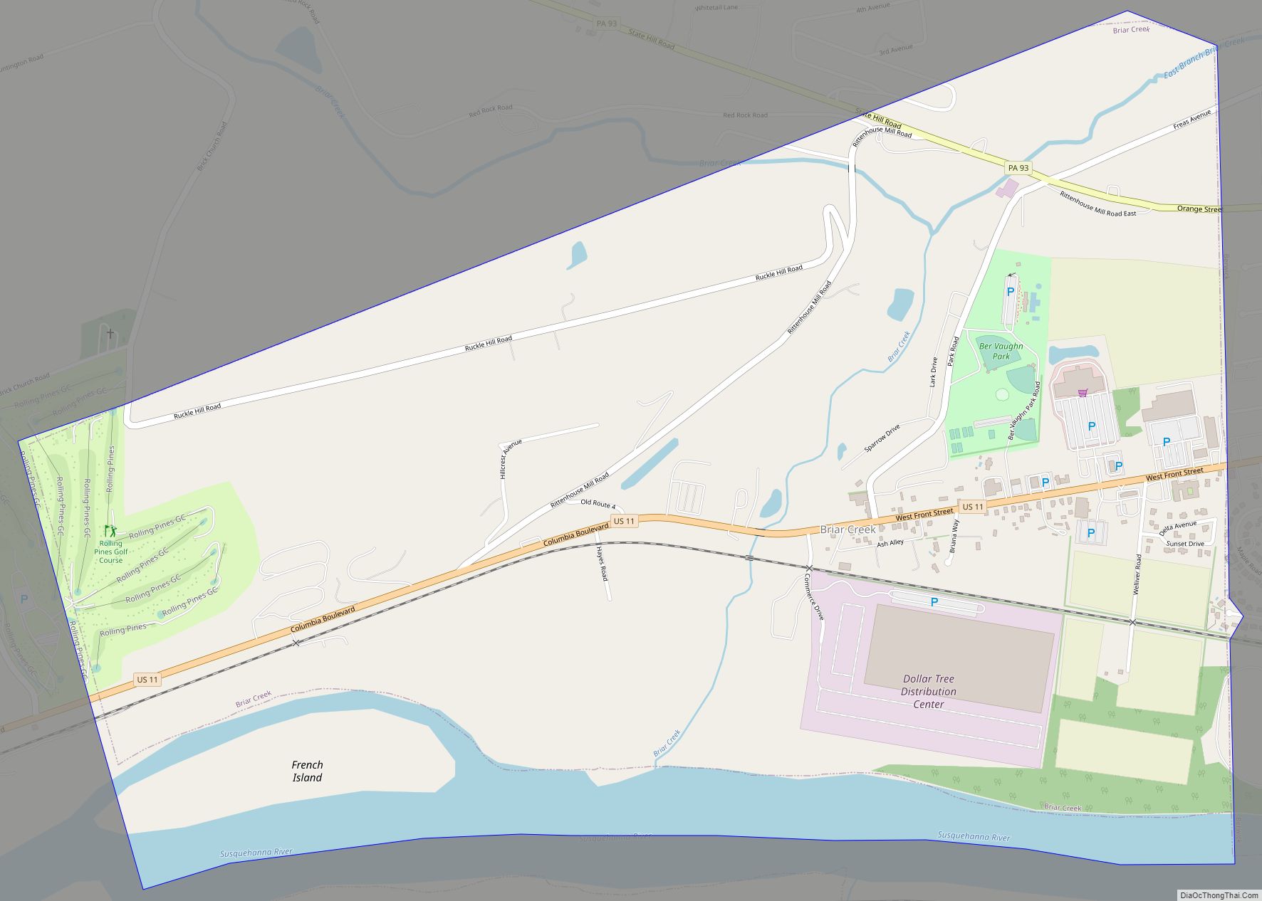
Online Interactive Map
Click on ![]() to view map in "full screen" mode.
to view map in "full screen" mode.
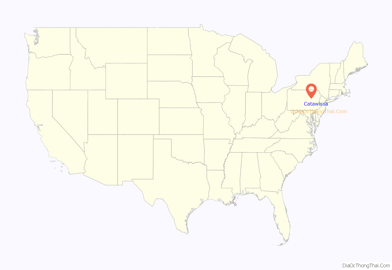
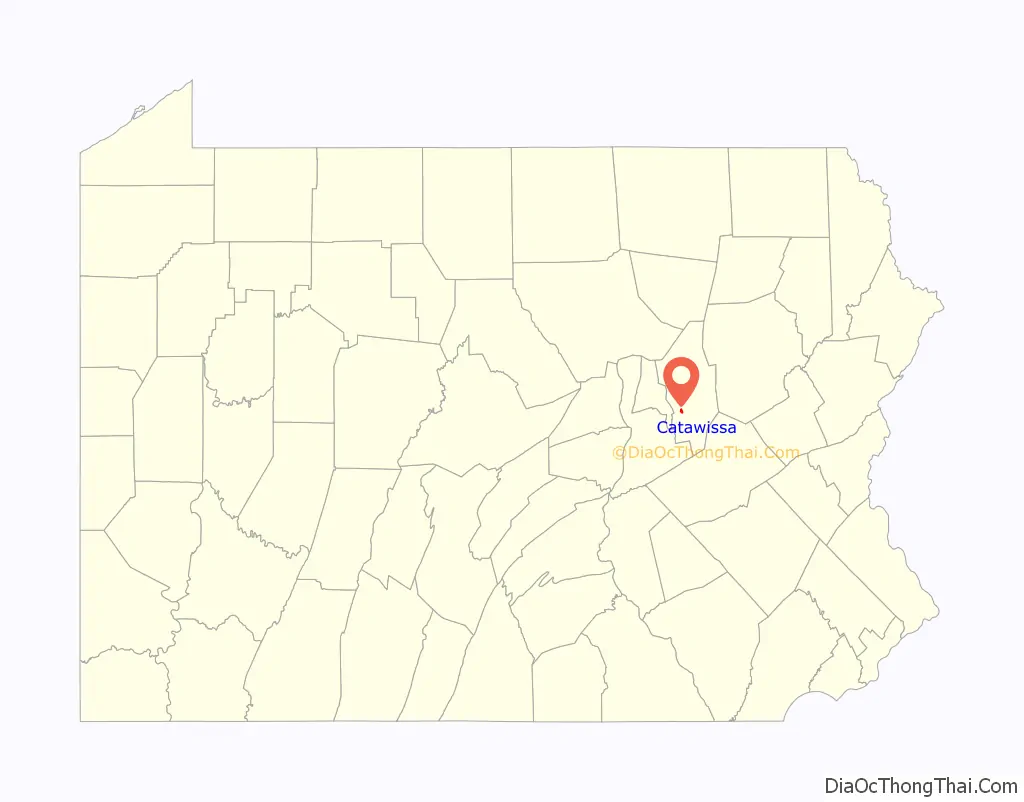
Catawissa location map. Where is Catawissa borough?
History
The area where Catawissa now is was originally owned by William Henry in 1769. Catawissa was laid out in 1787. At this time it was referred to as “Hughesburg” or “Catawissey”. The town’s lots were distributed by lottery. When boats began to commonly travel along the Susquehanna River, Catawissa became locally important. Talk of a school in Catawissa began in 1796, and one was built there in 1800. The Catawissa Fire Company was founded in 1827. The Catawissa Deposit Bank was incorporated in 1871. The Catawissa Water Company was formed in 1882. A number of Masonic establishments were built in Catawissa in the mid to late 1800s.
The Catawissa Friends Meetinghouse was listed on the National Register of Historic Places in 1978.
Catawissa Road Map

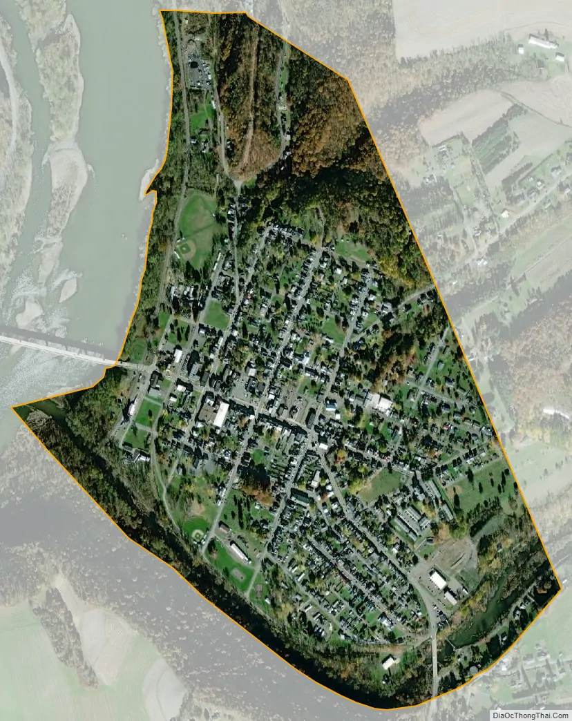
Catawissa city Satellite Map
Geography
Catawissa is located in western Columbia County at 40°57′9″N 76°27′37″W / 40.95250°N 76.46028°W / 40.95250; -76.46028 (40.952458, -76.460393), on the southeast side of the Susquehanna River. Catawissa Creek flows along the southern boundary of the borough into the Susquehanna. According to the United States Census Bureau, the borough has a total area of 0.54 square miles (1.4 km), of which 0.02 square miles (0.06 km), or 4.50%, is water.
The center of Catawissa is flat, with some hills in the northeast.
Major roads
Pennsylvania Route 42 and Pennsylvania Route 487 enter Catawissa, where they converge for a short distance. PA 42 leads west directly across the Susquehanna, then north 5 miles (8 km) to Bloomsburg, the county seat, while PA 487 leads northeast then north to Bloomsburg, also in 5 miles (8 km). PA 42 leads south 14 miles (23 km) to Centralia, and PA 487 leads southwest 10 miles (16 km) to Elysburg.
See also
Map of Pennsylvania State and its subdivision:- Adams
- Allegheny
- Armstrong
- Beaver
- Bedford
- Berks
- Blair
- Bradford
- Bucks
- Butler
- Cambria
- Cameron
- Carbon
- Centre
- Chester
- Clarion
- Clearfield
- Clinton
- Columbia
- Crawford
- Cumberland
- Dauphin
- Delaware
- Elk
- Erie
- Fayette
- Forest
- Franklin
- Fulton
- Greene
- Huntingdon
- Indiana
- Jefferson
- Juniata
- Lackawanna
- Lancaster
- Lawrence
- Lebanon
- Lehigh
- Luzerne
- Lycoming
- Mc Kean
- Mercer
- Mifflin
- Monroe
- Montgomery
- Montour
- Northampton
- Northumberland
- Perry
- Philadelphia
- Pike
- Potter
- Schuylkill
- Snyder
- Somerset
- Sullivan
- Susquehanna
- Tioga
- Union
- Venango
- Warren
- Washington
- Wayne
- Westmoreland
- Wyoming
- York
- Alabama
- Alaska
- Arizona
- Arkansas
- California
- Colorado
- Connecticut
- Delaware
- District of Columbia
- Florida
- Georgia
- Hawaii
- Idaho
- Illinois
- Indiana
- Iowa
- Kansas
- Kentucky
- Louisiana
- Maine
- Maryland
- Massachusetts
- Michigan
- Minnesota
- Mississippi
- Missouri
- Montana
- Nebraska
- Nevada
- New Hampshire
- New Jersey
- New Mexico
- New York
- North Carolina
- North Dakota
- Ohio
- Oklahoma
- Oregon
- Pennsylvania
- Rhode Island
- South Carolina
- South Dakota
- Tennessee
- Texas
- Utah
- Vermont
- Virginia
- Washington
- West Virginia
- Wisconsin
- Wyoming