Ashland is a borough in Schuylkill County in the U.S. state of Pennsylvania, 15 miles (24 km) northwest of Pottsville. It is part of Northeastern Pennsylvania. A small part of the borough also lies in Columbia County, although all of the population resided in the Schuylkill County portion as of the 2020 census. The borough lies in the anthracite coal region of eastern Pennsylvania. Settled in 1850, Ashland was incorporated in 1857, and was named for Henry Clay’s estate near Lexington, Kentucky. The population in 1900 was 6,438, and in 1940, 7,045, but had dropped to 2,471 at the 2020 census.
Ashland is part of the Pottsville micropolitan statistical area.
It is the location of Pioneer Tunnel, a tourist attraction featuring a tour of a coal mine on mine cars and a separate 3 ft 6 in (1,067 mm) narrow gauge steam train ride.
| Name: | Ashland borough |
|---|---|
| LSAD Code: | 21 |
| LSAD Description: | borough (suffix) |
| State: | Pennsylvania |
| County: | Columbia County, Schuylkill County |
| Incorporated: | 1857 |
| Elevation: | 980 ft (300 m) |
| Total Area: | 1.66 sq mi (4.29 km²) |
| Land Area: | 1.66 sq mi (4.29 km²) |
| Water Area: | 0.00 sq mi (0.00 km²) |
| Total Population: | 2,471 |
| Population Density: | 1,490.35/sq mi (575.46/km²) |
| ZIP code: | 17921 |
| FIPS code: | 4203264 |
| Website: | www.ashlandborough.com |
Online Interactive Map
Click on ![]() to view map in "full screen" mode.
to view map in "full screen" mode.
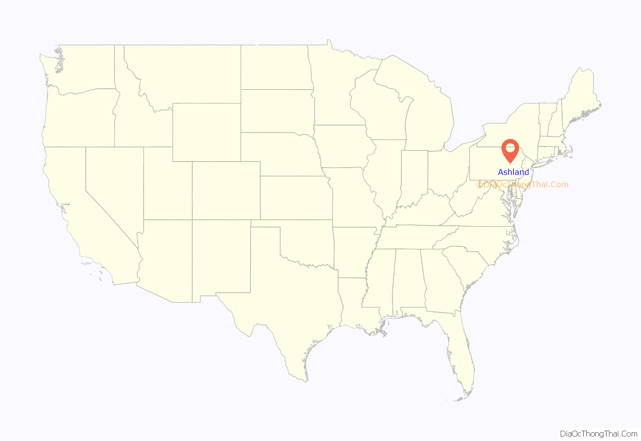
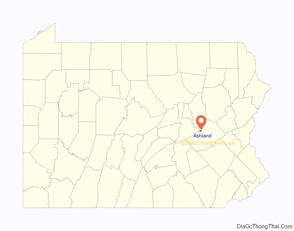
Ashland location map. Where is Ashland borough?
History
For a long time after southern Pennsylvania was settled, the area that is now Ashland was mostly wilderness except for a hotel in the area in 1820. A prominent citizen of the county, Burd S. Patterson, however, predicted that the area would eventually become a prominent mining town. In 1845, John P. Brock and James Hart joined Patterson in buying 800 acres (320 ha) of land in the Ashland area. In 1846, a group of miners led by Patrick Devine developed coal seams in veins in the area. However, the town progressed little over the next three years. By 1857, though, the town had 3,500 people, and Ashland became a borough, detaching itself from Butler Township. The first post office was built in 1853, and the first church was built in 1855.
The “Mothers’ Memorial” is located at the junction of Pennsylvania Route 54 and Pennsylvania Route 61. The “Mothers’ Memorial” is a bronze reproduction of the famous James Abbott McNeill Whistler artistic painting: “An Arrangement in Grey and Black No. 1”, commonly known as “Whistler’s Mother”. The WPA-built “Mothers’ Memorial” honors all mothers of the United States and it’s the only one of its kind in the world. It was designed by the sculptor Emil Siebern, carried out by Julius C. Loester, commissioned and erected during the misery of the Great Depression in the United States by the Ashland Boys’ Association and dedicated on Sunday, September 4, 1938, during Labor Day weekend. President Franklin D. Roosevelt economic recovery plan of the Works Progress Administration (WPA) carried out the stone masonry work.
The Ashland Boys’ Association was an inspirational story of former residents of Ashland who had to leave town for work when the anthracite mining failed in the late 1800s. Ashland men returned home every Labor Day weekend for little more than a century to visit the old hometown and march in the grand Ashland Boys’ Association Mummers’ Parade. This unique show of attachment to family, friends, and comforts of home erected the WPA-built Mothers’ Memorial statue that became the Ashland Boys’ Association’s legacy – an American icon and a symbol of motherhood in the United States. The Ashland Boys’ Association was honored with a State Historical Marker (40°47′01″N 76°20′14″W / 40.78368°N 76.33721°W / 40.78368; -76.33721) by the Pennsylvania Historical and Museum Commission on August 31, 2013.
Goyne Brothers was a family owned firm that came into existence in 1881. Goyne Brothers which later changed the name in 1903 to Goyne Steam Pump Company were manufacturers of general mining machinery, and in 1883, they determined to make the manufacture of mining pumps as a specialty. The Goyne Steam Pump Company in 1911, became known as one of the most substantial exclusive mine pump manufacturing plants in the United States. The importance of coal mining drainage launched out mine pumpers exclusively and the Goyne Steam Pump Company invented, engineered, manufactured, and sold over 250 different mining pump designs and sizes, ranging from single pump up to the largest compound condensing duplex machines practicable for mining purposes throughout the anthracite and bituminous coal regions of Pennsylvania, and the United States. The Goyne Steam Pump Company changed the name to Goyne Pump Company in 1955, and the company was purchased in 1979 by Goulds Pumps.
The Ashland Greens were an independent basketball franchise in Ashland. The Ashland Greens played the Boston Celtics in the Ashland High School Gymnasium. The team was owned by Green’s Dairy.
Pennsylvania Route 61 takes a detour just north of Ashland, where a “Keep Out” sign straddles the original highway that used to lead to the abandoned town of Centralia, where an underground mine fire has been burning since 1962.
Ashland Road Map

Ashland city Satellite Map

Geography
Ashland is located along the northern boundary of Schuylkill County at 40°46′54″N 76°20′40″W / 40.78167°N 76.34444°W / 40.78167; -76.34444 (40.781587, -76.344426). A small portion of the borough, comprising less than 1% of its area, extends north into Columbia County. Butler Township of Schuylkill County borders Ashland to the east, south, and west, while Conyngham Township of Columbia County borders the borough to the north. According to the United States Census Bureau, Ashland has a total area of 1.7 square miles (4.3 km), all land.
Ashland is served by Pennsylvania Route 54 and Pennsylvania Route 61. PA 54 leads east-northeast 3.5 miles (5.6 km) to Girardville and 9 miles (14 km) to Shenandoah, and northwest 16 miles (26 km) to Elysburg. PA 61 leads north 2.5 miles (4.0 km) to Centralia and then west 4 miles (6 km) farther to Mount Carmel, and east 7 miles (11 km) to Frackville. The two highways share Centre Street, the main street through Ashland.
The majority of Ashland is forest, with an urban area in the center. Most of the borough’s terrain is steep hills, but the hills are gentler near the center. The southern border of the borough follows the top of Ashland Mountain, which rises 400 to 600 feet (120 to 180 m) above the center of town, except where Mahanoy Creek, a tributary of the Susquehanna River, passes through a water gap in the mountain in the southeast part of the borough.
See also
Map of Pennsylvania State and its subdivision:- Adams
- Allegheny
- Armstrong
- Beaver
- Bedford
- Berks
- Blair
- Bradford
- Bucks
- Butler
- Cambria
- Cameron
- Carbon
- Centre
- Chester
- Clarion
- Clearfield
- Clinton
- Columbia
- Crawford
- Cumberland
- Dauphin
- Delaware
- Elk
- Erie
- Fayette
- Forest
- Franklin
- Fulton
- Greene
- Huntingdon
- Indiana
- Jefferson
- Juniata
- Lackawanna
- Lancaster
- Lawrence
- Lebanon
- Lehigh
- Luzerne
- Lycoming
- Mc Kean
- Mercer
- Mifflin
- Monroe
- Montgomery
- Montour
- Northampton
- Northumberland
- Perry
- Philadelphia
- Pike
- Potter
- Schuylkill
- Snyder
- Somerset
- Sullivan
- Susquehanna
- Tioga
- Union
- Venango
- Warren
- Washington
- Wayne
- Westmoreland
- Wyoming
- York
- Alabama
- Alaska
- Arizona
- Arkansas
- California
- Colorado
- Connecticut
- Delaware
- District of Columbia
- Florida
- Georgia
- Hawaii
- Idaho
- Illinois
- Indiana
- Iowa
- Kansas
- Kentucky
- Louisiana
- Maine
- Maryland
- Massachusetts
- Michigan
- Minnesota
- Mississippi
- Missouri
- Montana
- Nebraska
- Nevada
- New Hampshire
- New Jersey
- New Mexico
- New York
- North Carolina
- North Dakota
- Ohio
- Oklahoma
- Oregon
- Pennsylvania
- Rhode Island
- South Carolina
- South Dakota
- Tennessee
- Texas
- Utah
- Vermont
- Virginia
- Washington
- West Virginia
- Wisconsin
- Wyoming


