Numidia is a census-designated place (CDP) in Columbia County, Pennsylvania, United States. It is part of Northeastern Pennsylvania. The population was 244 at the 2010 census. It is part of the Bloomsburg-Berwick metropolitan area.
| Name: | Numidia CDP |
|---|---|
| LSAD Code: | 57 |
| LSAD Description: | CDP (suffix) |
| State: | Pennsylvania |
| County: | Columbia County |
| Elevation: | 987 ft (301 m) |
| Total Area: | 1.06 sq mi (2.75 km²) |
| Land Area: | 1.05 sq mi (2.73 km²) |
| Water Area: | 0.01 sq mi (0.02 km²) |
| Total Population: | 274 |
| Population Density: | 259.72/sq mi (100.28/km²) |
| ZIP code: | 17858 |
| FIPS code: | 4255792 |
| GNISfeature ID: | 1182715 |
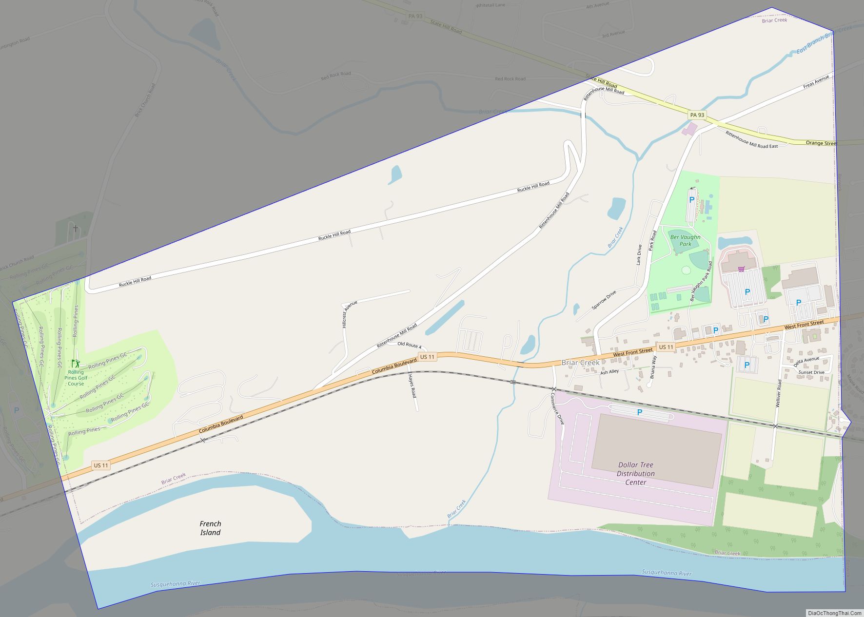
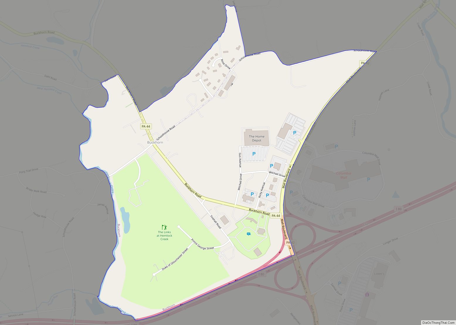
Online Interactive Map
Click on ![]() to view map in "full screen" mode.
to view map in "full screen" mode.
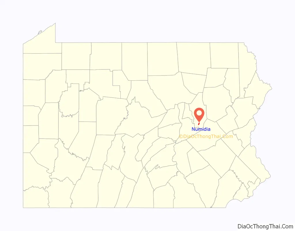
Numidia location map. Where is Numidia CDP?

History
Numidia was historically named “Leestown”. A hotel was built in Numidia in 1832. The town was laid out in 1835 by Elijah Prince, who renamed the community “New Media“. A post office existed in Numidia from 1847 to 1855 and from 1864 to the present day.
Numidia Road Map
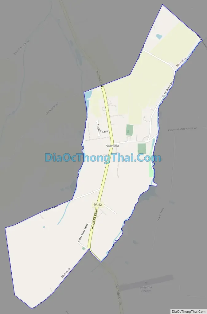
Numidia city Satellite Map

Geography
Numidia is located in southern Columbia County at 40°52′42″N 76°24′18″W / 40.87833°N 76.40500°W / 40.87833; -76.40500 (40.878323, -76.404955), in the west and center part of Locust Township.
According to the United States Census Bureau, the CDP has a total area of 1.06 square miles (2.75 km), of which 1.05 square miles (2.73 km) is land and 0.01 square miles (0.02 km), or 0.59%, is water. Numidia is 9 miles (14 km) south of Bloomsburg, the county seat, and is served by Pennsylvania Route 42. Numidia’s terrain consists of rolling hills, with the center of the community following a low ridgecrest. The CDP is mostly farmland with some houses along Pennsylvania Route 42.
See also
Map of Pennsylvania State and its subdivision:- Adams
- Allegheny
- Armstrong
- Beaver
- Bedford
- Berks
- Blair
- Bradford
- Bucks
- Butler
- Cambria
- Cameron
- Carbon
- Centre
- Chester
- Clarion
- Clearfield
- Clinton
- Columbia
- Crawford
- Cumberland
- Dauphin
- Delaware
- Elk
- Erie
- Fayette
- Forest
- Franklin
- Fulton
- Greene
- Huntingdon
- Indiana
- Jefferson
- Juniata
- Lackawanna
- Lancaster
- Lawrence
- Lebanon
- Lehigh
- Luzerne
- Lycoming
- Mc Kean
- Mercer
- Mifflin
- Monroe
- Montgomery
- Montour
- Northampton
- Northumberland
- Perry
- Philadelphia
- Pike
- Potter
- Schuylkill
- Snyder
- Somerset
- Sullivan
- Susquehanna
- Tioga
- Union
- Venango
- Warren
- Washington
- Wayne
- Westmoreland
- Wyoming
- York
- Alabama
- Alaska
- Arizona
- Arkansas
- California
- Colorado
- Connecticut
- Delaware
- District of Columbia
- Florida
- Georgia
- Hawaii
- Idaho
- Illinois
- Indiana
- Iowa
- Kansas
- Kentucky
- Louisiana
- Maine
- Maryland
- Massachusetts
- Michigan
- Minnesota
- Mississippi
- Missouri
- Montana
- Nebraska
- Nevada
- New Hampshire
- New Jersey
- New Mexico
- New York
- North Carolina
- North Dakota
- Ohio
- Oklahoma
- Oregon
- Pennsylvania
- Rhode Island
- South Carolina
- South Dakota
- Tennessee
- Texas
- Utah
- Vermont
- Virginia
- Washington
- West Virginia
- Wisconsin
- Wyoming