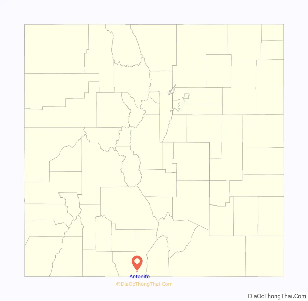
Antonito is a Statutory Town located in Conejos County, Colorado, United States. The town population was 647 at the 2020 United States Census.
| Name: | Antonito town |
|---|---|
| LSAD Code: | 43 |
| LSAD Description: | town (suffix) |
| State: | Colorado |
| County: | Conejos County |
| Elevation: | 7,890 ft (2,405 m) |
| Total Area: | 0.427 sq mi (1.105 km²) |
| Land Area: | 0.427 sq mi (1.105 km²) |
| Water Area: | 0.000 sq mi (0.000 km²) |
| Total Population: | 647 |
| Population Density: | 1,516/sq mi (585/km²) |
| ZIP code: | 81120 |
| Area code: | 719 |
| FIPS code: | 0802355 |
| GNISfeature ID: | 0190909 |
| Website: | townofantonito.org |
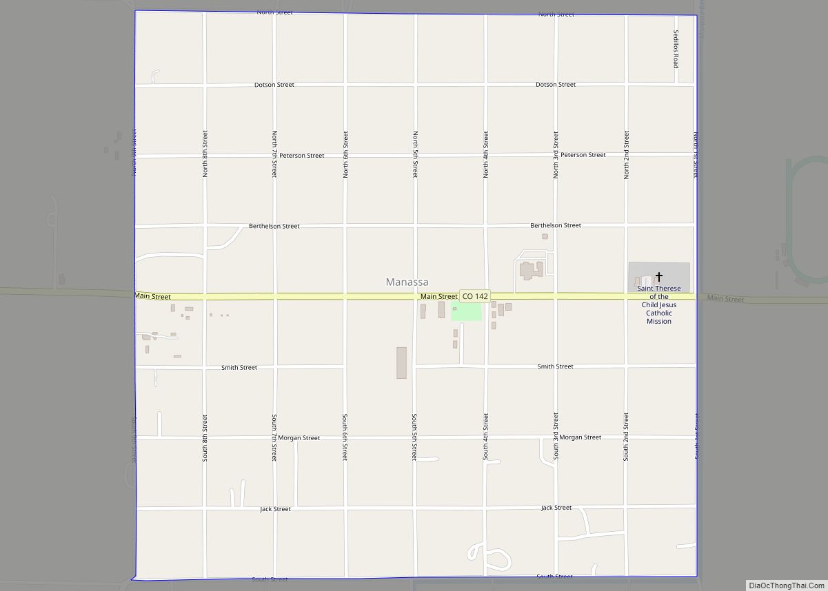
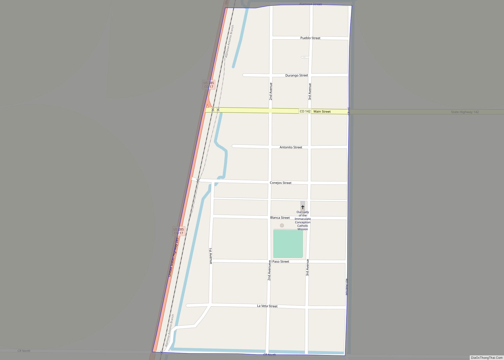
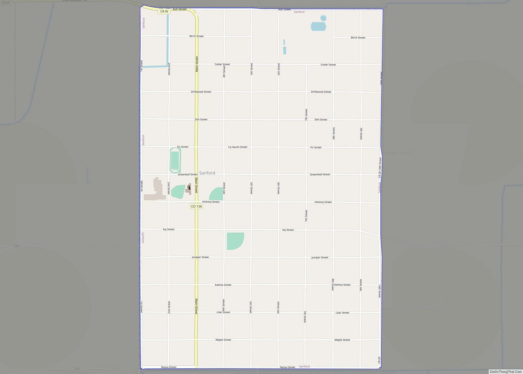
Online Interactive Map
Click on ![]() to view map in "full screen" mode.
to view map in "full screen" mode.
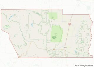
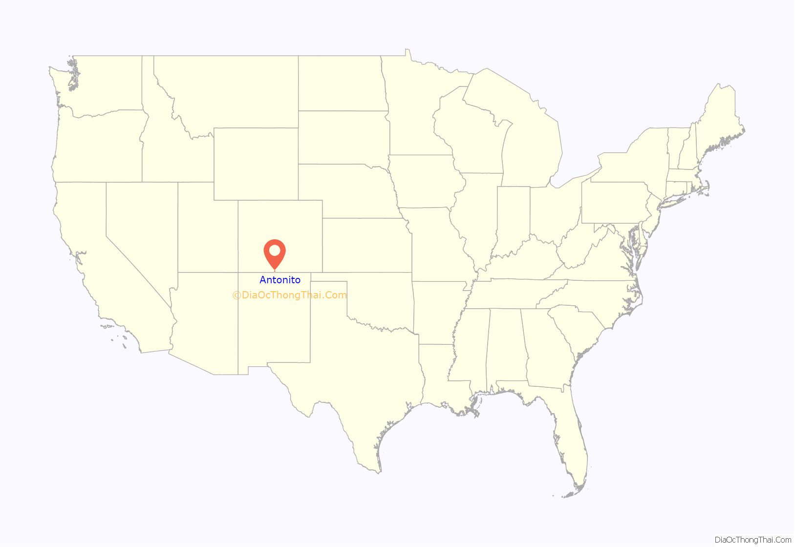
Antonito location map. Where is Antonito town?
History
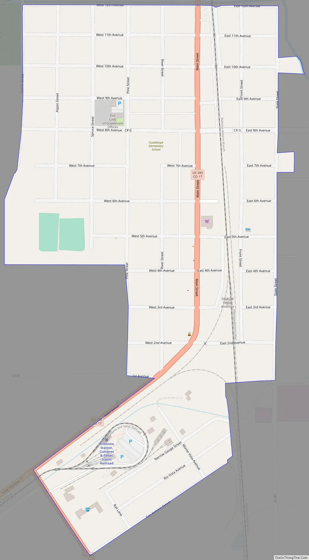
Antonito began life as a sheep herding camp known as San Antonio Junction, referring to its proximity to the Conejos and San Antonio rivers. When the Denver & Rio Grande Railroad built its line south from Alamosa, the town was renamed Antonito and became an important town on the railroad line. The town was incorporated in 1889. There are currently no major industries located in Antonito, but the historic Cumbres & Toltec Scenic Railroad has one terminus in Antonito and the other in Chama, New Mexico. The C&TS also has maintenance facilities and rail yard in the town.
The area’s economy has recently experienced an upsurge with the passage of Colorado’s recreational marijuana laws. A 420-friendly town, several recreational marijuana dispensaries have opened within the city limits. Additionally, between summer 2015 and early 2016, 10 new businesses, some marijuana-related and some not, opened their doors to customers in the area.
In 2015, a Colorado State Highway project rebuilt the stretch of Highway 285 that runs through town. The new highway has helped beautify the downtown area and improve traffic flow.
The city has a number of unique buildings, including a historic Denver & Rio Grande Western Railroad depot, one of only a few lava rock depots still existing in the United States. Currently in a state of disrepair, a grant to restore the building is in the works. Cano’s Castle, a folk-art home constructed by a local resident, attracts attention from tourists and local residents alike. Just south of town, Colorado Parks and Wildlife and Conejos County have jointly developed an outdoor shooting range with areas for rifle sighting as well as target practice ranges for various types of rifles and handguns. An indoor archery range and nearby hunting and fishing opportunities attract outdoor enthusiasts.
A library, tire repair shop and a new medical clinic have opened in recent years and Family Dollar recently built a store in Antonito. The South Conejos Jr. and Sr. High School was recently built.
The town is known for its many murals, most of them painted by Fred Haberlein.
Antonito is the location of the oldest church building and congregation in Colorado, Our Lady of Guadalupe Catholic Church, built in 1857.
Following the legalization of Cannabis in Colorado, Antonito took advantage of its location along the New Mexico border (where cannabis was illegal until 2022) to become a destination for New Mexico residents seeking to legally purchase cannabis. The tax revenue has resulted in a $295,000 annual increase to the city budget.
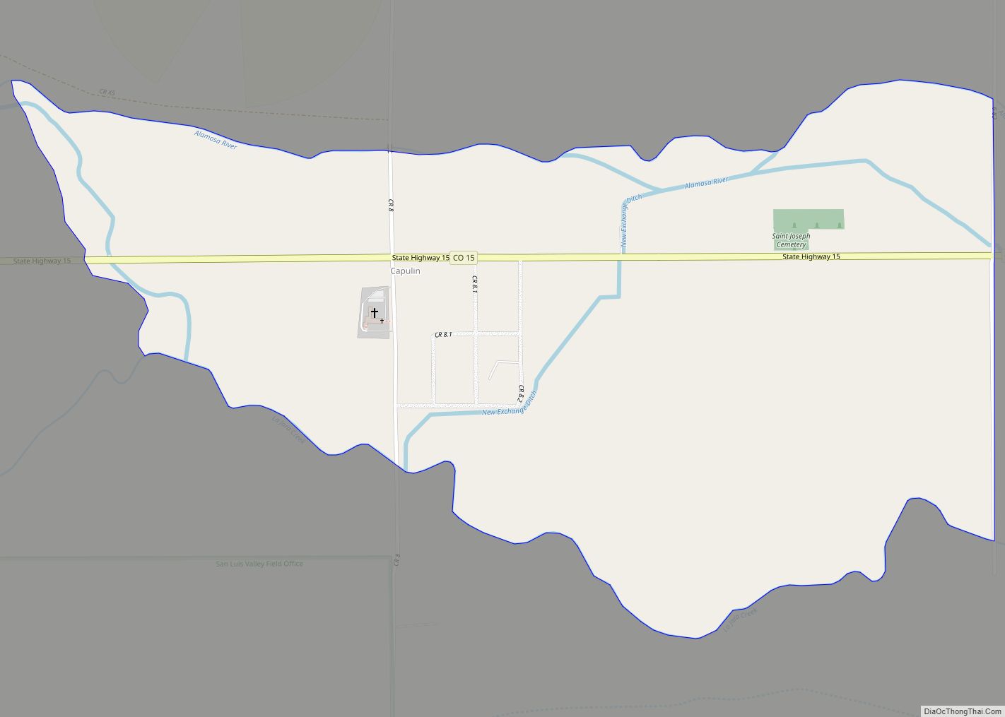
Antonito Road Map
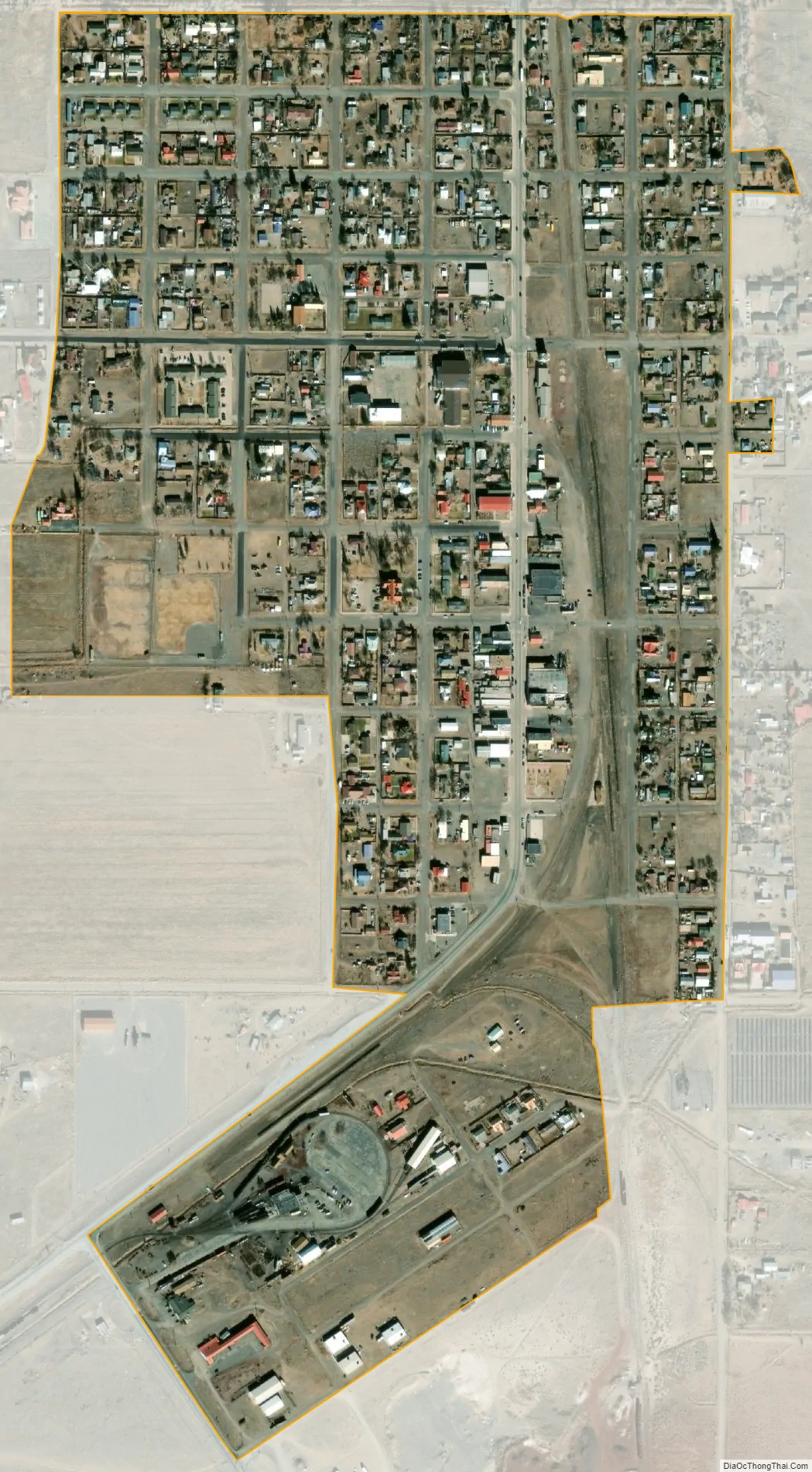
Antonito city Satellite Map
Geography
Antonito is located in the San Luis Valley near the southern border of Colorado at 37°5′N 106°1′W / 37.083°N 106.017°W / 37.083; -106.017 (37.077, -106.010), along U.S. Highway 285. It is 28 miles (45 km) north to Alamosa and 30 miles (48 km) south to U.S. Route 64 at Tres Piedras, New Mexico.
At the 2020 United States Census, Antonito had a total area of 273 acres (1.105 km), all of it land.
Antonito is the southern terminus of the San Luis and Rio Grande Railroad and the eastern terminus of the steam powered, narrow gauge Cumbres & Toltec Scenic Railroad, which runs westwards to Osier, Colorado, and Chama, New Mexico.
See also
Map of Colorado State and its subdivision:- Adams
- Alamosa
- Arapahoe
- Archuleta
- Baca
- Bent
- Boulder
- Broomfield
- Chaffee
- Cheyenne
- Clear Creek
- Conejos
- Costilla
- Crowley
- Custer
- Delta
- Denver
- Dolores
- Douglas
- Eagle
- El Paso
- Elbert
- Fremont
- Garfield
- Gilpin
- Grand
- Gunnison
- Hinsdale
- Huerfano
- Jackson
- Jefferson
- Kiowa
- Kit Carson
- La Plata
- Lake
- Larimer
- Las Animas
- Lincoln
- Logan
- Mesa
- Mineral
- Moffat
- Montezuma
- Montrose
- Morgan
- Otero
- Ouray
- Park
- Phillips
- Pitkin
- Prowers
- Pueblo
- Rio Blanco
- Rio Grande
- Routt
- Saguache
- San Juan
- San Miguel
- Sedgwick
- Summit
- Teller
- Washington
- Weld
- Yuma
- Alabama
- Alaska
- Arizona
- Arkansas
- California
- Colorado
- Connecticut
- Delaware
- District of Columbia
- Florida
- Georgia
- Hawaii
- Idaho
- Illinois
- Indiana
- Iowa
- Kansas
- Kentucky
- Louisiana
- Maine
- Maryland
- Massachusetts
- Michigan
- Minnesota
- Mississippi
- Missouri
- Montana
- Nebraska
- Nevada
- New Hampshire
- New Jersey
- New Mexico
- New York
- North Carolina
- North Dakota
- Ohio
- Oklahoma
- Oregon
- Pennsylvania
- Rhode Island
- South Carolina
- South Dakota
- Tennessee
- Texas
- Utah
- Vermont
- Virginia
- Washington
- West Virginia
- Wisconsin
- Wyoming