The Town of Manassa is the Statutory Town that is the most populous municipality in Conejos County, Colorado, United States. The town population was 947 at the 2020 United States Census.
| Name: | Manassa town |
|---|---|
| LSAD Code: | 43 |
| LSAD Description: | town (suffix) |
| State: | Colorado |
| County: | Conejos County |
| Founded: | 1851 |
| Elevation: | 7,690 ft (2,344 m) |
| Total Area: | 0.93 sq mi (2.41 km²) |
| Land Area: | 0.93 sq mi (2.41 km²) |
| Water Area: | 0.00 sq mi (0.00 km²) |
| Total Population: | 947 |
| Population Density: | 1,000/sq mi (390/km²) |
| ZIP code: | 81141 (PO Box) |
| Area code: | 719 |
| FIPS code: | 0848060 |
| GNISfeature ID: | 0192989 |
| Website: | manassa.com |
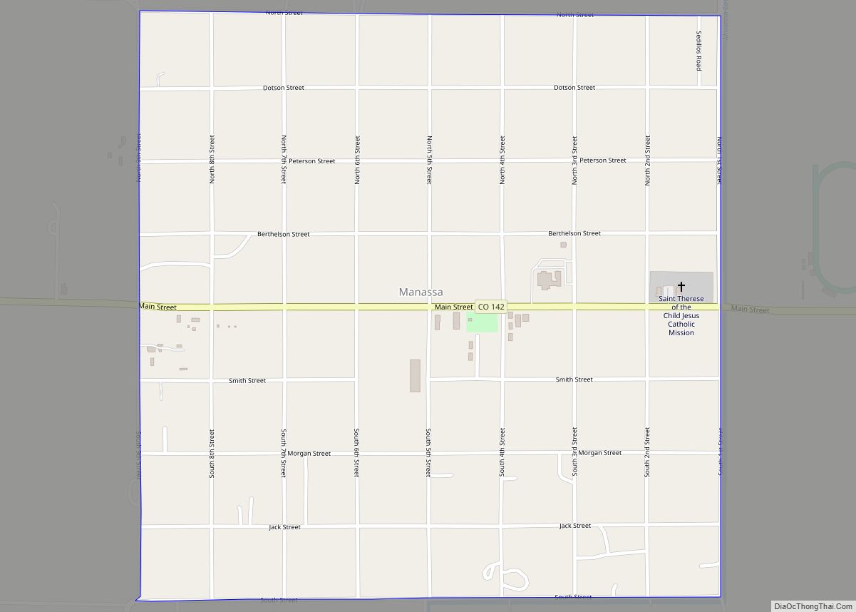
Online Interactive Map
Click on ![]() to view map in "full screen" mode.
to view map in "full screen" mode.
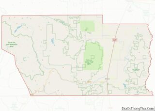
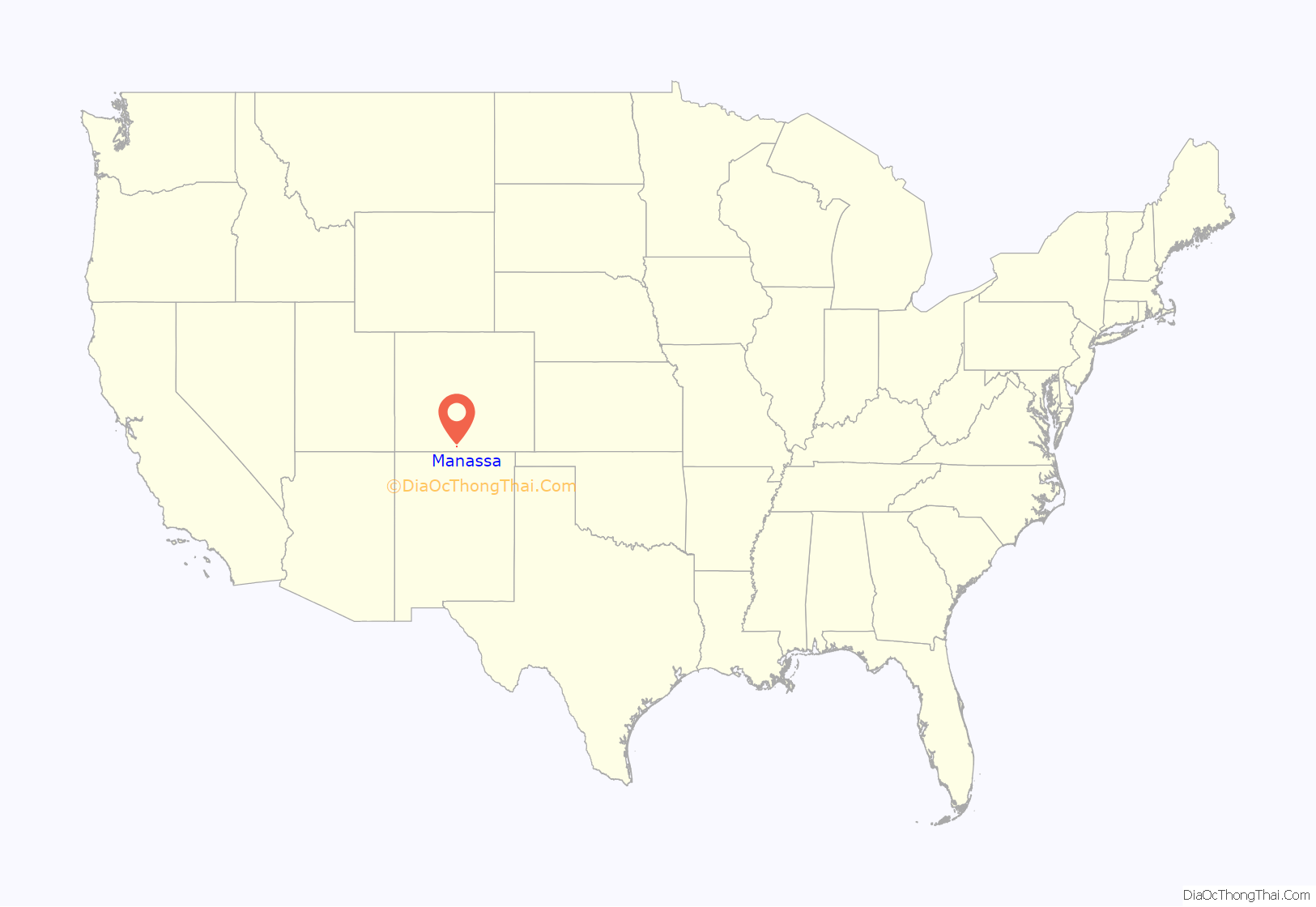
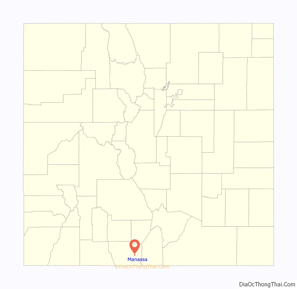
Manassa location map. Where is Manassa town?
History
Today, approximately half of Manassa’s residents are of Spanish and Mexican heritage. Migration patterns demonstrate how people from northern New Mexico settled this area in the mid 19th century. Many are the descendants of colonists from the Spanish colonial period beginning in 1598 with Juan de Oñate’s colonization of New Mexico. Most of the other citizens of Manassa are the descendants of the Mormon pioneers who founded Manassa in 1879, and named the town after Manasseh, a son of the Israelite Joseph. Manassa was located a short distance from two ranches purchased by the Mormons from Hispanos on the south side of the Conejos River, across from Los Cerritos.
The selection of the land for the colony was made on the assurance that the railroad would soon be built nearby. However, one year later the railroad bypassed the colony, and instead passed through Romeo, just 3 miles (5 km) to the west.
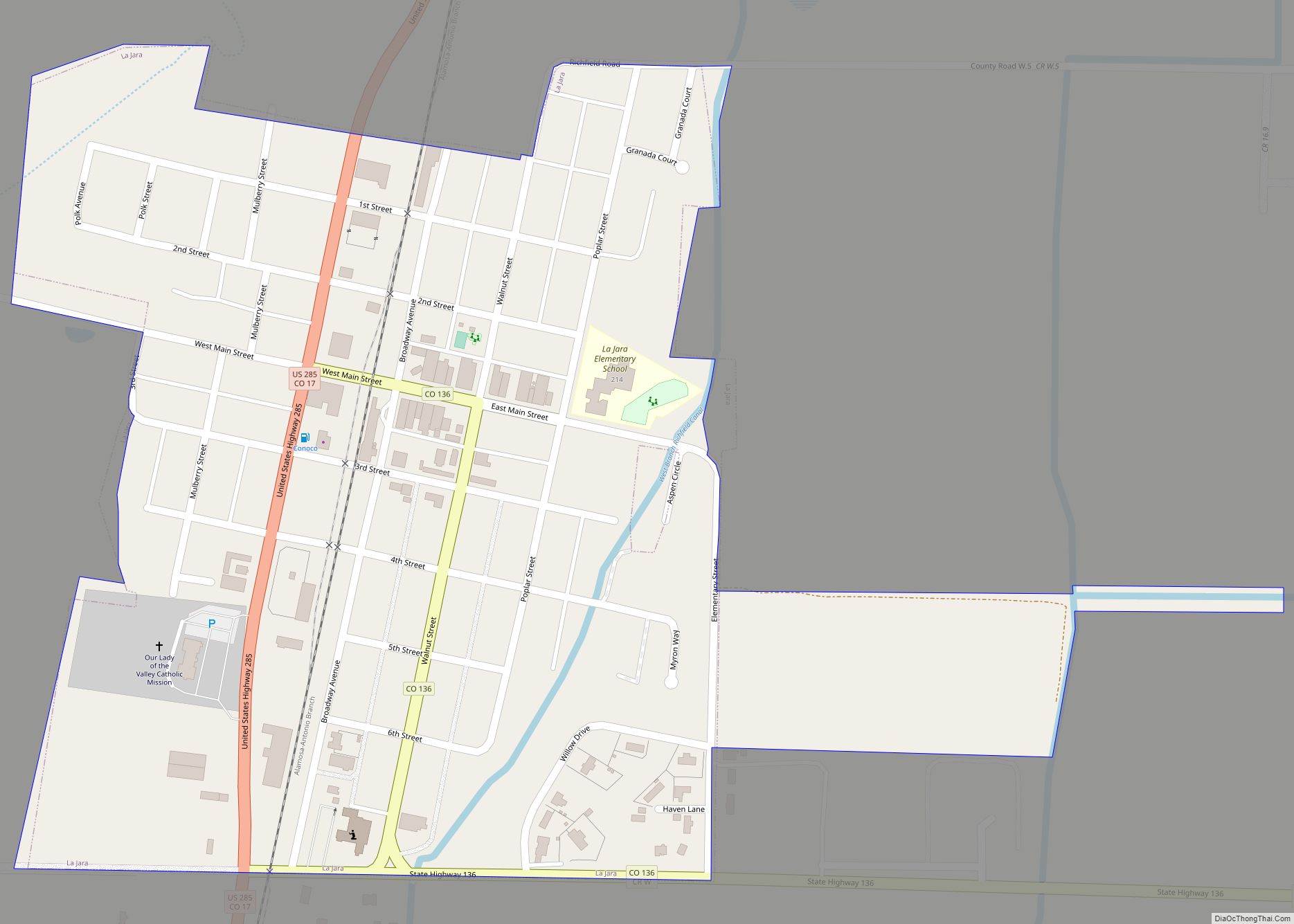
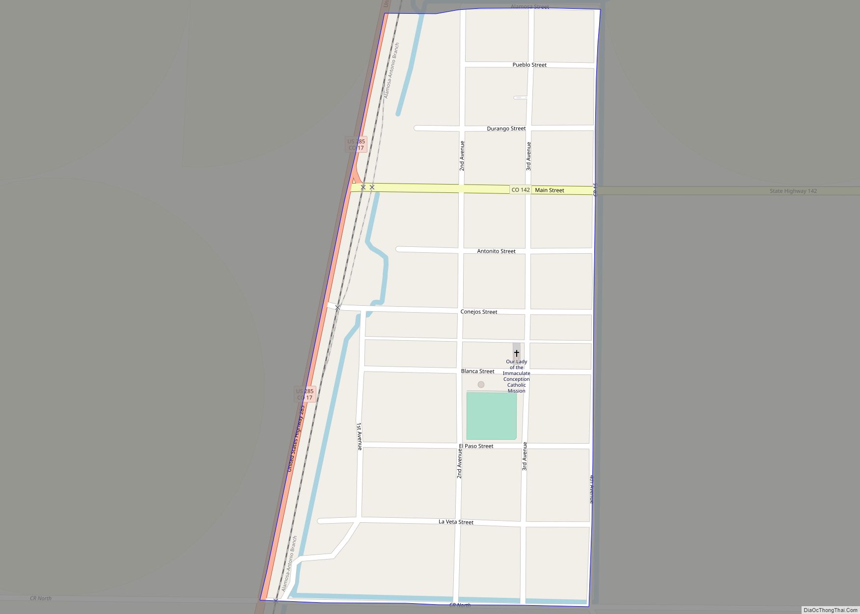
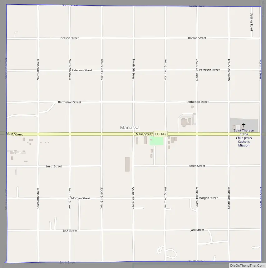
Manassa Road Map
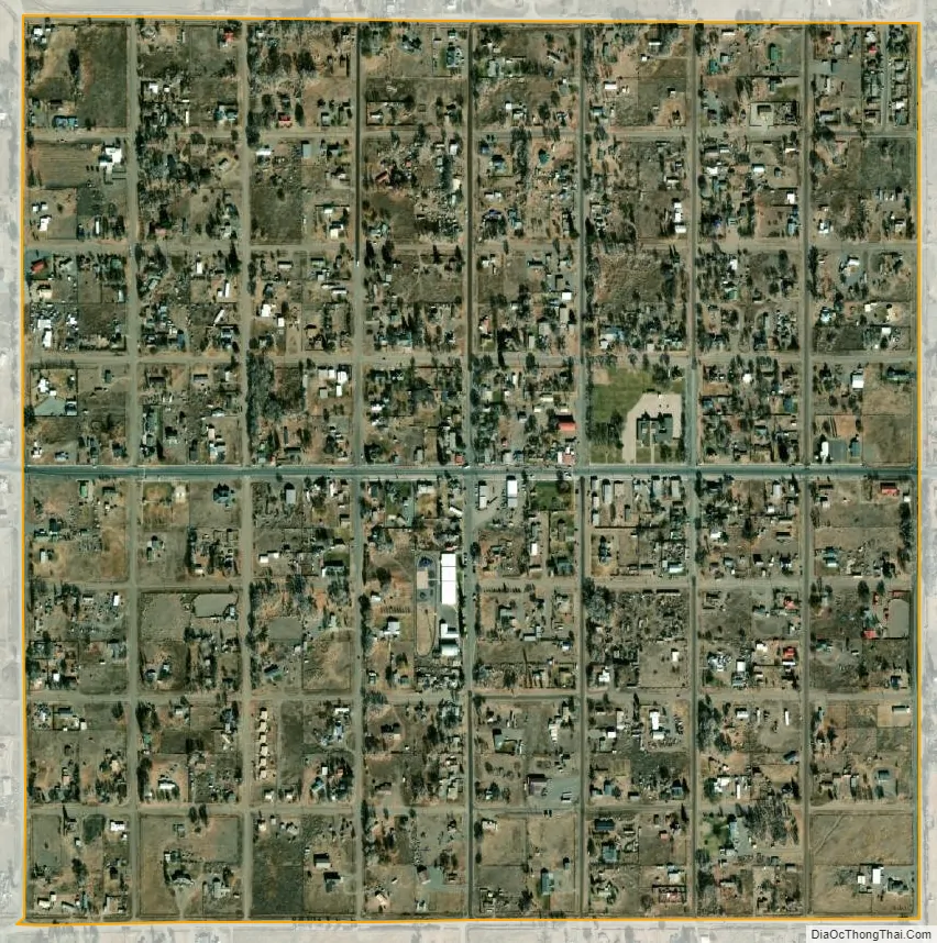
Manassa city Satellite Map
Geography
Manassa is located in eastern Conejos County in the San Luis Valley in south-central Colorado at 37°10′29″N 105°56′11″W / 37.17472°N 105.93639°W / 37.17472; -105.93639 (latitude 37.174695 north, longitude 105.936359 west).
Manassa’s elevation is 7,683 feet (2,342 m) above sea level. The land within Manassa city limits is entirely flat, with rolling hills nearby. Foothills and mountains (taller than 14,000 feet (4,300 m)) are farther in each direction, including the Sangre de Cristo Range to the east and the San Juan Mountains to the west.
The U.S. Post Office ZIP code for Manassa is 81141, and the area code is 719.
According to the United States Census Bureau, the town has a total area of 0.93 square miles (2.4 km), all land.
Manassa experiences a semi-arid climate (Köppen BSk) with cold, dry winters and warm, somewhat wetter summers.
See also
Map of Colorado State and its subdivision:- Adams
- Alamosa
- Arapahoe
- Archuleta
- Baca
- Bent
- Boulder
- Broomfield
- Chaffee
- Cheyenne
- Clear Creek
- Conejos
- Costilla
- Crowley
- Custer
- Delta
- Denver
- Dolores
- Douglas
- Eagle
- El Paso
- Elbert
- Fremont
- Garfield
- Gilpin
- Grand
- Gunnison
- Hinsdale
- Huerfano
- Jackson
- Jefferson
- Kiowa
- Kit Carson
- La Plata
- Lake
- Larimer
- Las Animas
- Lincoln
- Logan
- Mesa
- Mineral
- Moffat
- Montezuma
- Montrose
- Morgan
- Otero
- Ouray
- Park
- Phillips
- Pitkin
- Prowers
- Pueblo
- Rio Blanco
- Rio Grande
- Routt
- Saguache
- San Juan
- San Miguel
- Sedgwick
- Summit
- Teller
- Washington
- Weld
- Yuma
- Alabama
- Alaska
- Arizona
- Arkansas
- California
- Colorado
- Connecticut
- Delaware
- District of Columbia
- Florida
- Georgia
- Hawaii
- Idaho
- Illinois
- Indiana
- Iowa
- Kansas
- Kentucky
- Louisiana
- Maine
- Maryland
- Massachusetts
- Michigan
- Minnesota
- Mississippi
- Missouri
- Montana
- Nebraska
- Nevada
- New Hampshire
- New Jersey
- New Mexico
- New York
- North Carolina
- North Dakota
- Ohio
- Oklahoma
- Oregon
- Pennsylvania
- Rhode Island
- South Carolina
- South Dakota
- Tennessee
- Texas
- Utah
- Vermont
- Virginia
- Washington
- West Virginia
- Wisconsin
- Wyoming