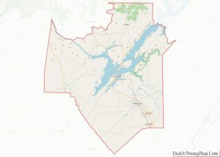
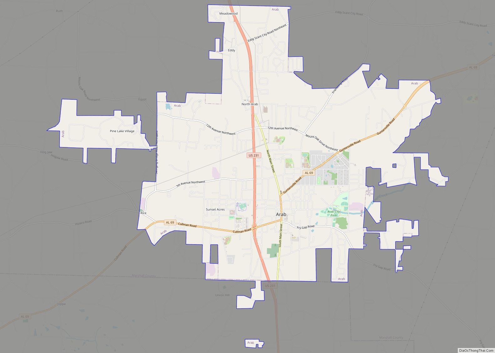
Arab (/ˈeɪ.ræb/) is a city in Marshall and Cullman counties in the northern part of the U.S. state of Alabama, located 10 miles (16 km) from Guntersville Lake and Guntersville Dam, and is included in the Huntsville-Decatur Combined Statistical Area. As of the 2020 census, the population of the city was 8,461.
| Name: | Arab city |
|---|---|
| LSAD Code: | 25 |
| LSAD Description: | city (suffix) |
| State: | Alabama |
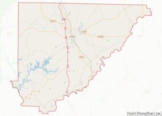
| County: | Cullman County, Marshall County |
| Elevation: | 1,040 ft (320 m) |
| Total Area: | 13.45 sq mi (34.84 km²) |
| Land Area: | 13.32 sq mi (34.50 km²) |
| Water Area: | 0.13 sq mi (0.34 km²) |
| Total Population: | 8,461 |
| Population Density: | 635.21/sq mi (245.25/km²) |
| ZIP code: | 35016 |
| FIPS code: | 0102116 |
| GNISfeature ID: | 2403104 |
| Website: | www.arabcity.org |
Online Interactive Map
Click on ![]() to view map in "full screen" mode.
to view map in "full screen" mode.
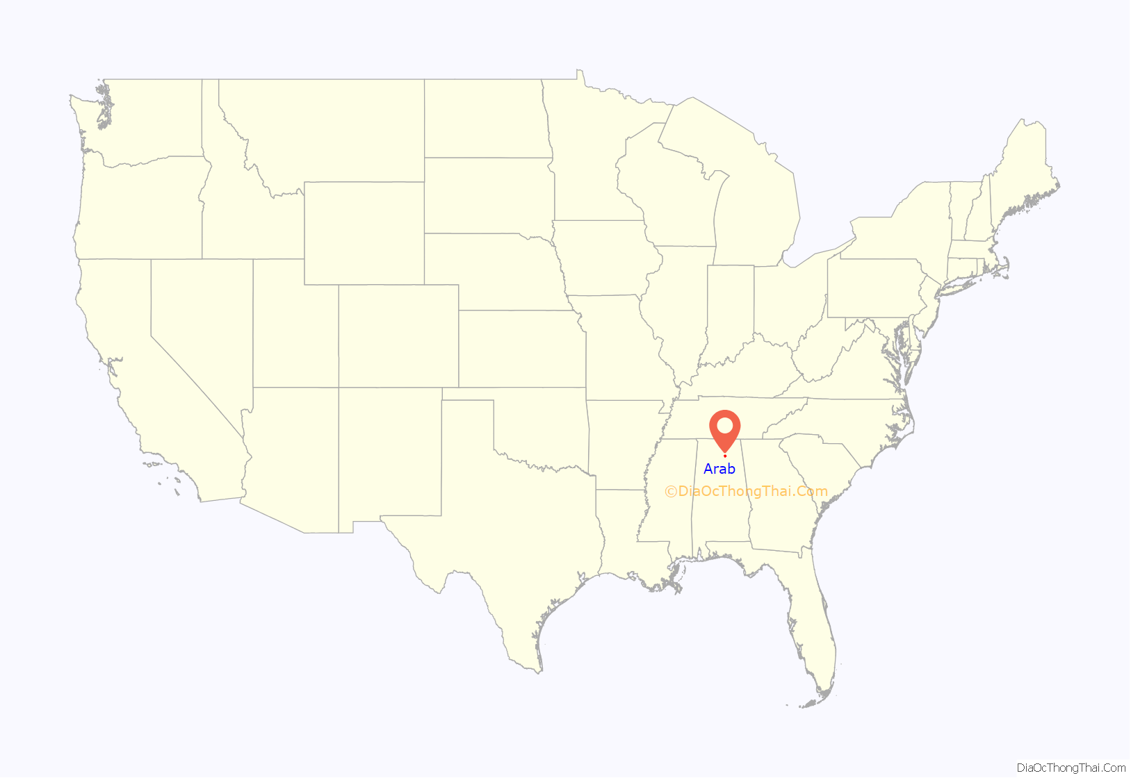
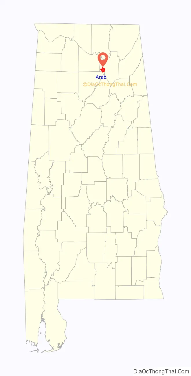
Arab location map. Where is Arab city?
History
What is now Arab was established by Stephen Tuttle Thompson in the 1840s, and was originally known as “Thompson’s Village”. The current name of the town was an unintentional misspelling by the U.S. Postal Service in 1882 of the city’s intended name, taken from Arad Thompson, the son of the town founder, who had applied for a post office that year. “Arad” was one of three names sent to the Postal Service for consideration, the others being “Ink” and “Bird.” Arab has frequently been noted on lists of unusual place names.
Arab was incorporated in 1892.
Arab was a sundown town, with a sign warning African Americans not to stay in Arab after dark and, historically, even barring them during the day. Ku Klux Klan material has been disseminated multiple times in Arab in recent years.
Arab was one of the towns reaching contact with the 2011 Super Outbreak of tornado activity.
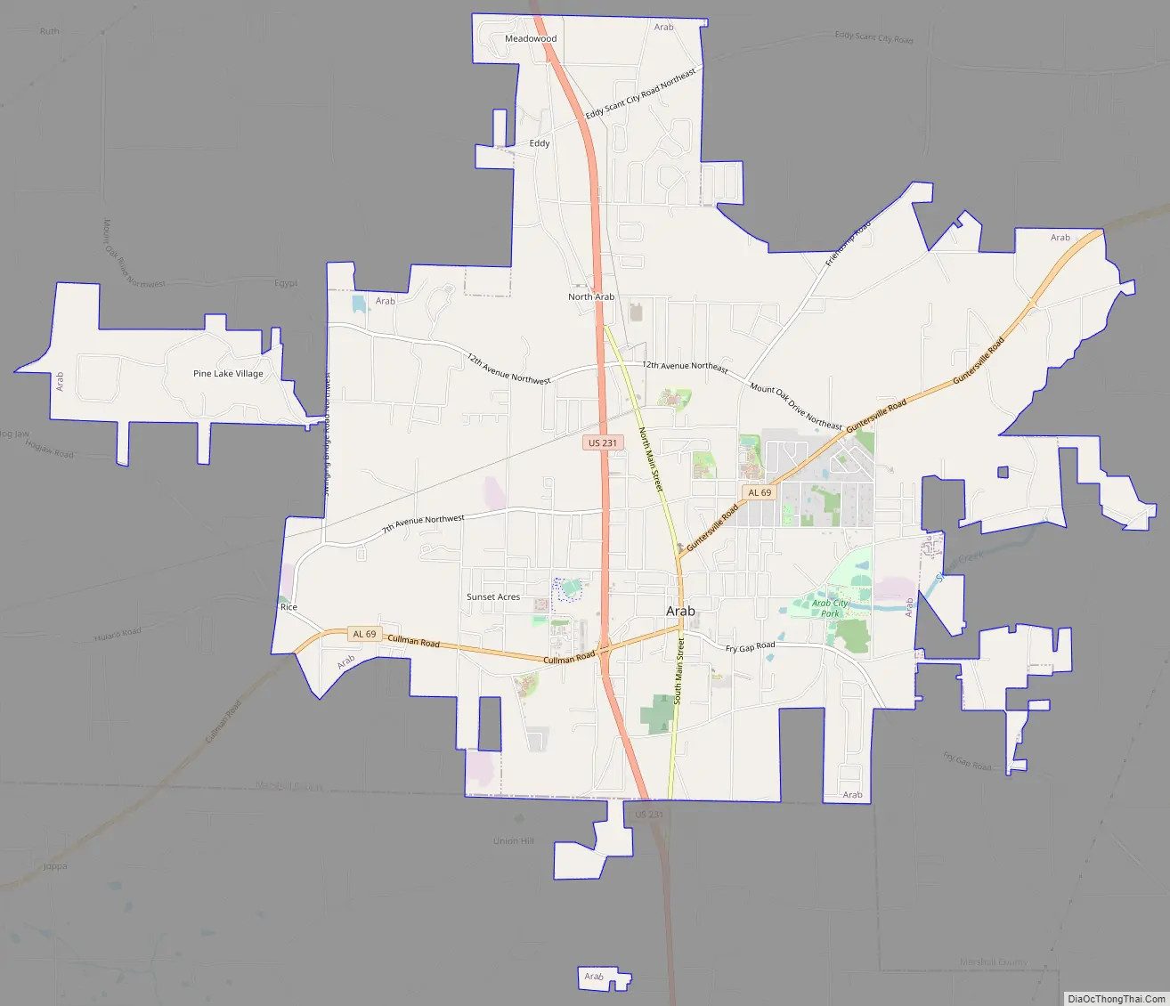
Arab Road Map
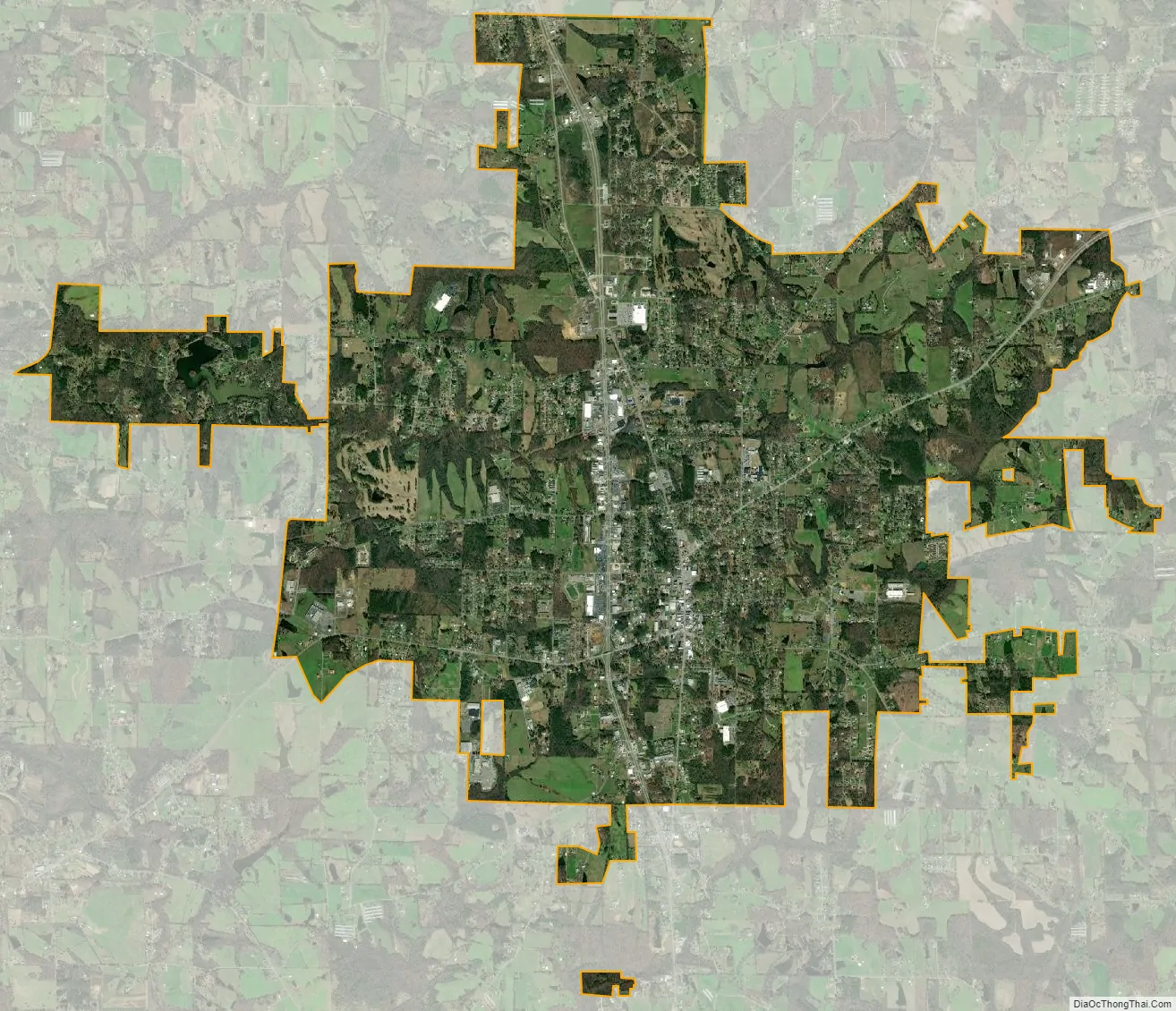
Arab city Satellite Map
Geography
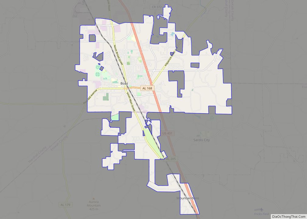
Arab is located at an elevation of 1,100 feet (340 m) on top of Brindlee Mountain, near the southwest end of the Appalachian Plateau. The city is primarily in southern Marshall County; a small portion extends south into Cullman County. U.S. Route 231 runs north-to-south through Arab, and State Route 69 runs east-to-west, through the city’s business district. US 231 leads north 31 miles (50 km) to Huntsville and south 32 miles (51 km) to Oneonta, while SR 69 leads east 13 miles (21 km) to Guntersville and southwest 23 miles (37 km) to Cullman.
According to the U.S. Census Bureau, the city has a total area of 13.4 square miles (34.8 km), of which 13.3 square miles (34.5 km) are land and 0.12 square miles (0.3 km), or 0.99%, are water. The city lies on the Tennessee Valley Divide, with the north side draining either west to Cotaco Creek or east to Shoal Creek, both tributaries of the Tennessee River, while the south half of the city drains to the headwaters of the Mulberry Fork of the Black Warrior River, part of the Tombigbee River watershed.
See also
Map of Alabama State and its subdivision:- Autauga
- Baldwin
- Barbour
- Bibb
- Blount
- Bullock
- Butler
- Calhoun
- Chambers
- Cherokee
- Chilton
- Choctaw
- Clarke
- Clay
- Cleburne
- Coffee
- Colbert
- Conecuh
- Coosa
- Covington
- Crenshaw
- Cullman
- Dale
- Dallas
- De Kalb
- Elmore
- Escambia
- Etowah
- Fayette
- Franklin
- Geneva
- Greene
- Hale
- Henry
- Houston
- Jackson
- Jefferson
- Lamar
- Lauderdale
- Lawrence
- Lee
- Limestone
- Lowndes
- Macon
- Madison
- Marengo
- Marion
- Marshall
- Mobile
- Monroe
- Montgomery
- Morgan
- Perry
- Pickens
- Pike
- Randolph
- Russell
- Saint Clair
- Shelby
- Sumter
- Talladega
- Tallapoosa
- Tuscaloosa
- Walker
- Washington
- Wilcox
- Winston
- Alabama
- Alaska
- Arizona
- Arkansas
- California
- Colorado
- Connecticut
- Delaware
- District of Columbia
- Florida
- Georgia
- Hawaii
- Idaho
- Illinois
- Indiana
- Iowa
- Kansas
- Kentucky
- Louisiana
- Maine
- Maryland
- Massachusetts
- Michigan
- Minnesota
- Mississippi
- Missouri
- Montana
- Nebraska
- Nevada
- New Hampshire
- New Jersey
- New Mexico
- New York
- North Carolina
- North Dakota
- Ohio
- Oklahoma
- Oregon
- Pennsylvania
- Rhode Island
- South Carolina
- South Dakota
- Tennessee
- Texas
- Utah
- Vermont
- Virginia
- Washington
- West Virginia
- Wisconsin
- Wyoming